The best walks and hikes around Amplier
3.9
(22)
91
hikers
27
hikes
Hiking around Amplier offers trails through the gentle, rolling landscapes of the region, characterized by agricultural fields, small woodlands, and historical villages. The terrain typically features moderate elevation changes, making it suitable for various fitness levels. This area provides opportunities for exploring the rural environment on foot.
Best hiking trails around Amplier
- The most popular hiking route is Lucheux Castle loop from Lucheux, a 7.2 miles (11.6 km) trail that takes 3 hours 5 minutes to complete, passing by…
Last updated: June 26, 2026
4.0
(2)
14
hikers
10.7km
02:52
120m
120m
Moderate hike. Good fitness required. Easily-accessible paths. Suitable for all skill levels.
8
hikers
8.40km
02:13
80m
80m
Moderate hike. Good fitness required. Easily-accessible paths. Suitable for all skill levels.

Sign up for free
3
hikers
11.8km
03:10
140m
140m
Moderate hike. Good fitness required. Easily-accessible paths. Suitable for all skill levels.
3.0
(1)
5
hikers
4.92km
01:17
30m
30m
Easy hike. Great for any fitness level. Easily-accessible paths. Suitable for all skill levels.
4
hikers
12.7km
03:23
140m
140m
Moderate hike. Good fitness required. Easily-accessible paths. Suitable for all skill levels.
Get access to more routes and recommendations from other explorers.
Sign up for free
Already have an account?
Our route recommendations are based on thousands of hikes, rides, and runs completed by other people on komoot.
Start today with a free account
Your next adventure awaits.
Login or Signup

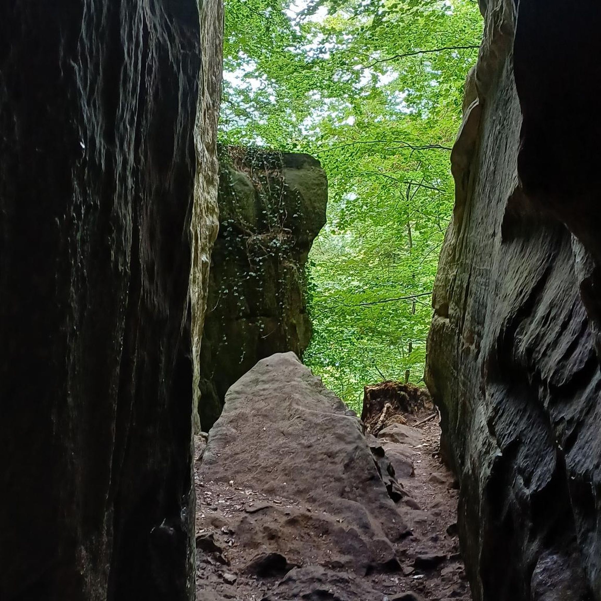

Tips from the Community

Apart from the old keep that can be seen from the western part of the village, the castle of Lucheux, which has become an IME, has been destroyed several times, has kept among others its doors including the one known as "the village" which is visible from the paved road that goes up of the belfry.
0
0

The castle is private but do not hesitate to make the detour to discover its facade.
0
0
Frequently Asked Questions
How many hiking trails are available in Amplier?
Amplier offers a selection of over 20 hiking routes. These trails traverse the region's gentle, rolling landscapes, agricultural fields, and small woodlands.
Are there easy hiking trails suitable for beginners in Amplier?
Yes, Amplier has several easy hiking trails. For instance, the Motte du Rosel loop from Beauval is an easy 4.9 km (3 miles) route, perfect for a relaxed stroll.
What is the typical length and duration of hikes in Amplier?
Most hikes in Amplier are moderate in length, ranging from 6 to 12 kilometers (3.7 to 7.5 miles). These typically take between 2 to 4 hours to complete, allowing you to experience the rural environment at a comfortable pace.
Are there family-friendly hiking options in Amplier?
While specific 'family-friendly' designations aren't always present, the region's generally moderate terrain and easy routes, like the Motte du Rosel loop from Beauval, are suitable for families looking for a pleasant outdoor experience.
Can I bring my dog on the hiking trails in Amplier?
Generally, dogs are welcome on hiking trails in the rural areas around Amplier. It's always advisable to keep them on a leash, especially when passing through agricultural fields or near livestock, and to clean up after them.
Are there many circular hiking routes in Amplier?
Yes, many of the hiking routes in Amplier are circular, offering convenient starting and ending points. Examples include the Hiking loop from Gézaincourt and the Hiking loop from Authieule, allowing you to explore without retracing your steps.
When is the best time of year to go hiking in Amplier?
The best time for hiking in Amplier is typically from spring through autumn (April to October). During these months, the weather is generally mild, and the landscapes are vibrant, making for pleasant walking conditions.
Is parking available at the trailheads in Amplier?
As Amplier is a rural area with small villages, parking is generally available near village centers or designated starting points for trails. It's recommended to check local signage upon arrival.
What kind of gear or clothing should I wear for hiking in Amplier?
Given the moderate terrain, comfortable walking shoes or light hiking boots are recommended. Layered clothing is advisable to adapt to changing weather, and a waterproof jacket can be useful, especially during spring and autumn.
Are there any interesting historical sites or landmarks along the hiking trails?
Yes, some trails pass by historical sites. For example, the Lucheux Castle loop from Lucheux takes you past historical sites, offering a glimpse into the region's heritage amidst the natural scenery.
Are the hiking trails in Amplier suitable for winter?
While the trails are generally accessible, winter hiking in Amplier can be less comfortable due to colder temperatures and potentially muddy conditions. Some paths might also be less maintained. Always check local weather conditions before heading out.
Are there hiking routes in Amplier that pass by places to eat or drink?
Many routes start or pass through small villages, which may offer local establishments for refreshments. For example, the Hiking loop from Doullens begins near the town of Doullens, where you can find amenities.

Get inspired with the komoot mobile app


Explore more
Browse the best Hikes in other regions.
