The best road cycling routes around Marcenat
4.8
(65)
1,721
riders
12
rides
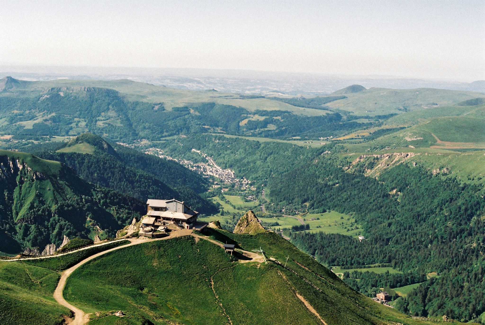
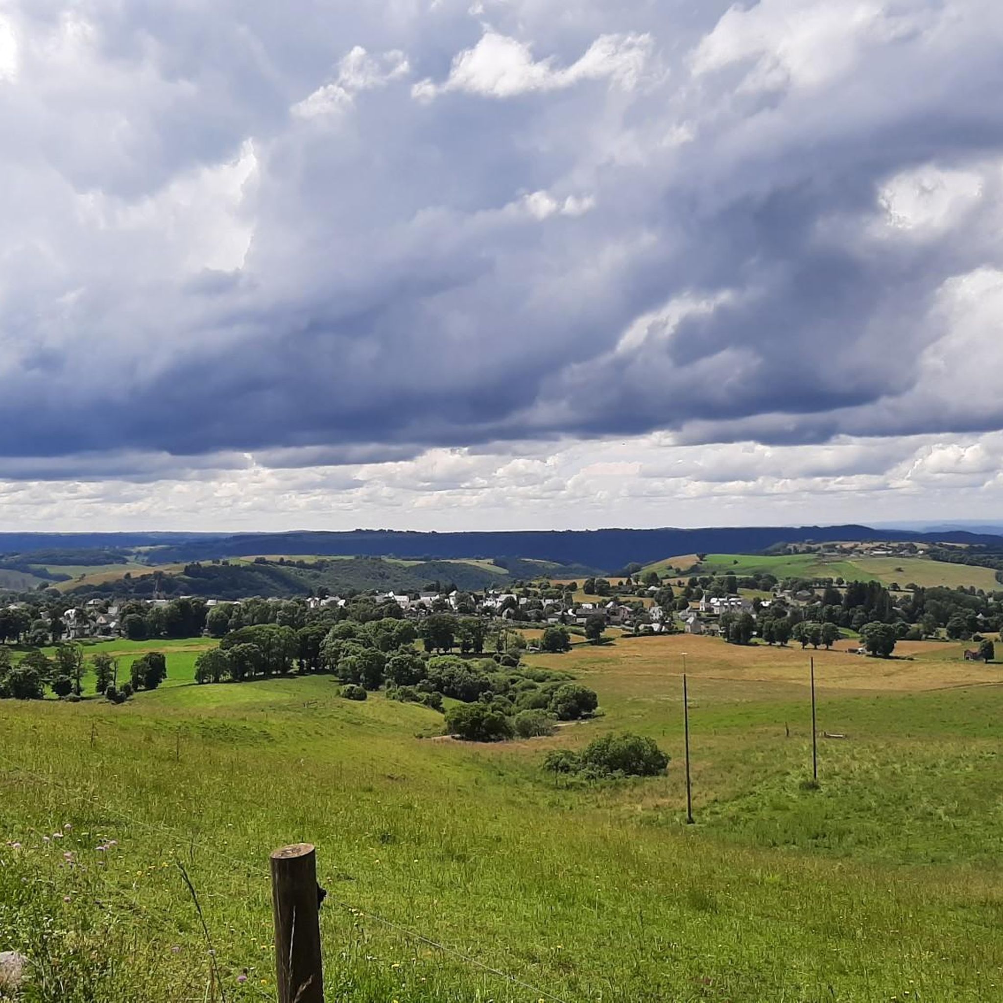
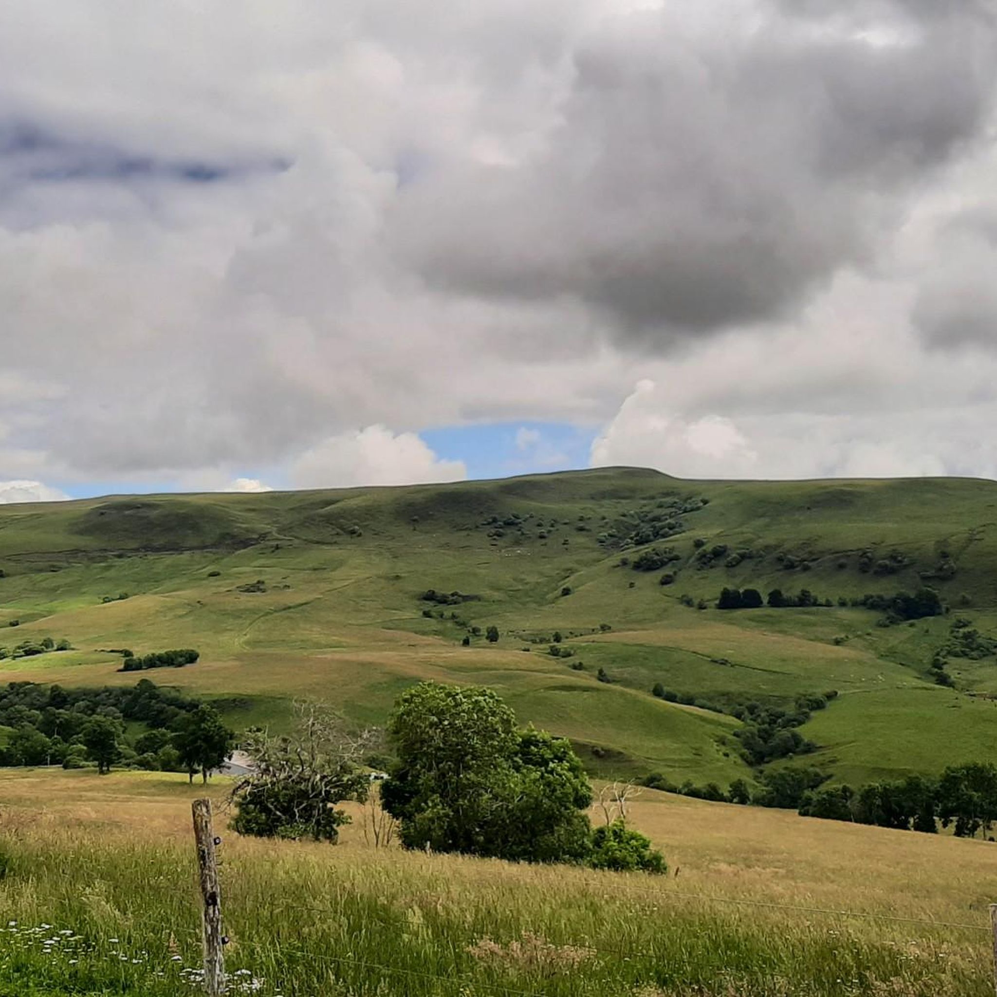
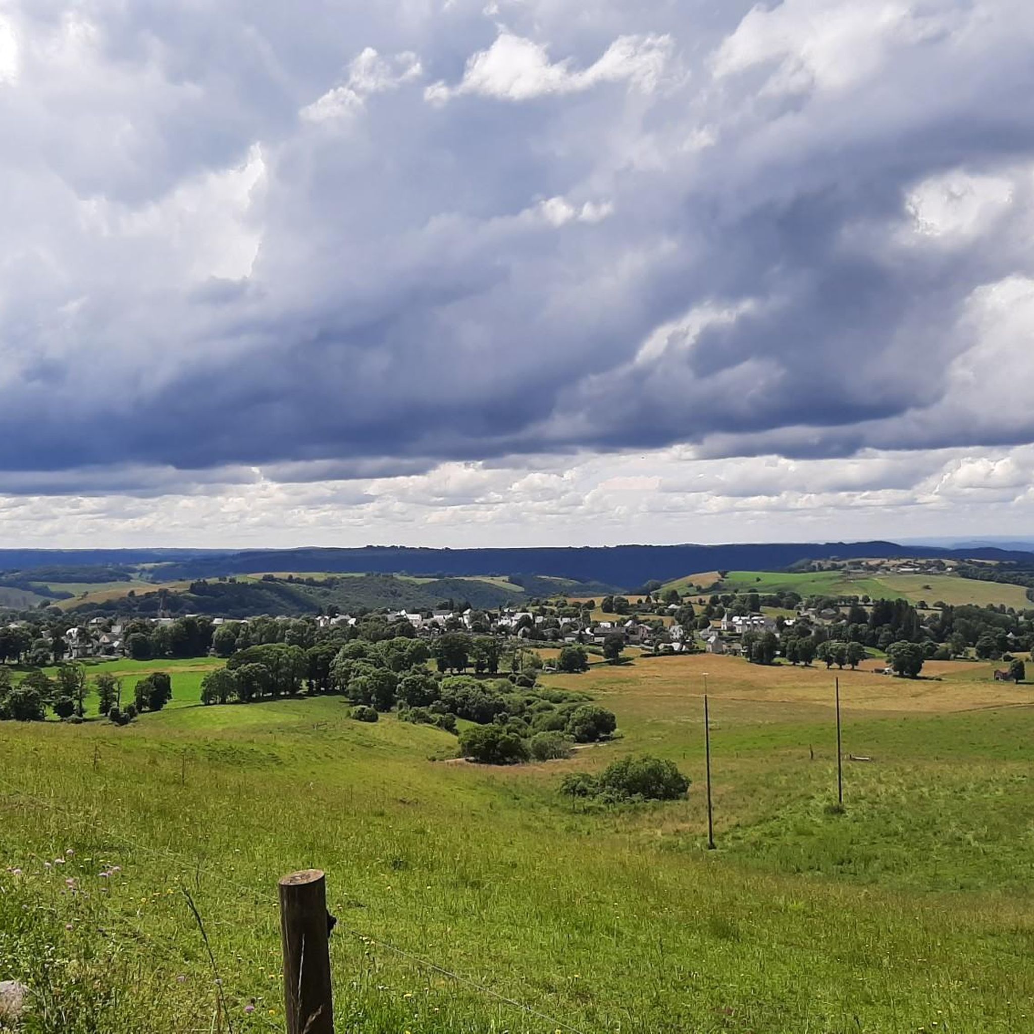
Road cycling routes around Marcenat are situated within the Monts du Cézallier, an area characterized by expansive mountain pastures, gentle slopes, and scattered woodlands. The region is part of the Auvergne volcanic area, offering varied terrain with significant altitude changes. Marcenat itself sits at 1,055 meters, with surrounding mountains reaching up to 1,449 meters, providing challenging climbs and scenic routes.
Best road cycling routes around Marcenat
- The most popular road cycling route is Chamaroux Pass – La Godivelle loop from…
Last updated: July 15, 2026
5.0
(2)
34
riders
48.3km
02:20
730m
730m
Moderate road ride. Good fitness required. Mostly well-paved surfaces and easy to ride.
12
riders
85.2km
04:28
1,610m
1,610m
Hard road ride. Very good fitness required. Mostly well-paved surfaces and easy to ride.

Sign up for free
10
riders
65.6km
03:08
960m
960m
Hard road ride. Very good fitness required. Mostly well-paved surfaces and easy to ride.
8
riders
33.5km
01:45
610m
610m
Moderate road ride. Good fitness required. Mostly well-paved surfaces and easy to ride.
5
riders
207km
11:12
4,070m
4,070m
Hard road ride. Very good fitness required. Some segments of this route may be unpaved and difficult to ride.
Get access to more routes and recommendations from other explorers.
Sign up for free
Already have an account?
Our route recommendations are based on thousands of hikes, rides, and runs completed by other people on komoot.
Start today with a free account
Your next adventure awaits.
Login or Signup
Other adventures around Marcenat

Tips from the Community


Why didn't you make the Luguet signal? You have to go through Parrot... a place called. After the GR path... to the Luguet woods.
0
0
Not too difficult, I did it on a mountain bike.
0
0

Small, quiet road from Saint-Bonnet-de-Condat to Riom-ès-Montagnes via Marchastel
0
0

A beautiful little town in the Auvergne region. A must-see in both summer and winter.
0
0

A beautiful, partly shady climb from Claux to the pass. Then the real challenge begins at Puy Mary.
0
0
Small town with church and campsite, bar unfortunately closed on Whit Monday.
0
0
Frequently Asked Questions
What kind of terrain can I expect on road cycling routes around Marcenat?
Road cycling around Marcenat offers a diverse and challenging terrain. You'll encounter significant altitude changes, with Marcenat itself at 1,055 meters and surrounding mountains reaching up to 1,449 meters. The region is part of the Auvergne volcanic area, featuring expansive mountain pastures, gentle slopes, and scattered woodlands. Expect challenging rides with no shortage of climbs and steep stretches, often on small mountain roads with minimal traffic.
How many road cycling routes are available in the Marcenat area?
There are over a dozen dedicated road cycling routes around Marcenat, catering to various skill levels. These routes are highly rated by the komoot community, with an average score of 4.7 stars from more than 30 reviews.
Are there routes suitable for beginners or those looking for an easier ride?
While many routes in Marcenat feature significant elevation gains, there are moderate options available. For instance, the Chamaroux Pass – La Godivelle loop from Marcenat is a moderate 45.5 km route with an ascent of 815 meters, offering a rewarding experience without extreme difficulty. Another moderate option is the Saint-Bonnet-de-Condat loop from Marcenat, covering 33.7 km with 609 meters of ascent.
What are some challenging road cycling routes for experienced riders?
Experienced riders will find plenty of challenges. The Col de Montgreleix (1238 m) – Lake Bourdouze loop from Marcenat is a difficult 85.2 km path with a substantial 1605-meter climb. For an epic challenge, consider the Ascent to Puy Mary – Pas de Peyrol and Puy Mary loop from Marcenat, a difficult 171.1 km route leading through the demanding Cantal mountains with over 3100 meters of elevation gain.
Can I find circular road cycling routes around Marcenat?
Yes, many of the road cycling routes in the Marcenat area are designed as loops, allowing you to start and finish in the same location. Examples include the Chamaroux Pass – La Godivelle loop, the Col de Montgreleix – Lake Bourdouze loop, and the Forêt de la Pinatelle – La Roche aux Fruits loop.
What natural features and viewpoints can I see along the routes?
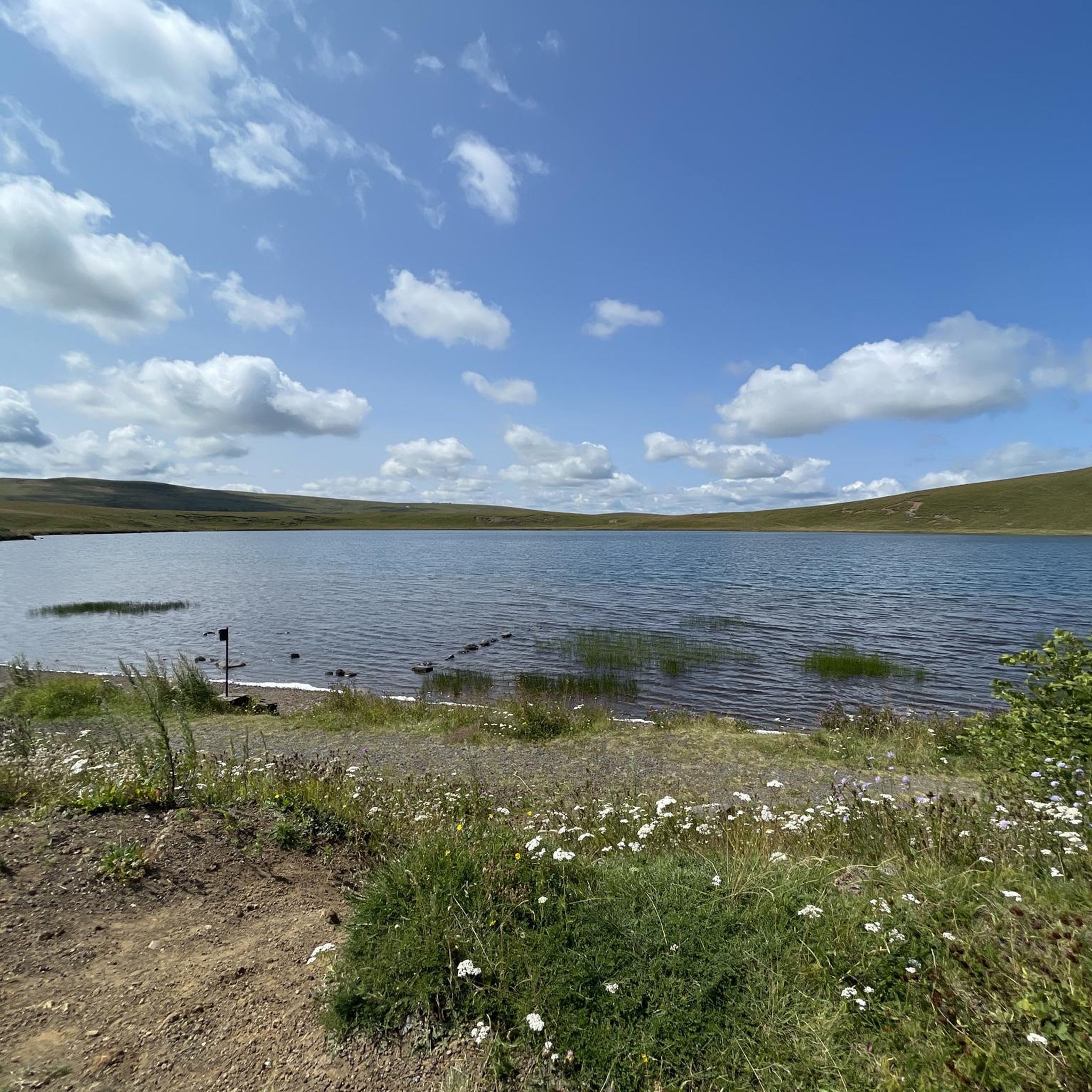
The region is rich in natural beauty. You can enjoy panoramic vistas from spots like Mont Chamaroux, overlooking the Cézallier summer pastures. The routes often pass by tranquil lakes such as Lac Pavin, Lac du Guery, and Lac de Jolan. You might also encounter picturesque waterfalls like the magnificent Saillant waterfall and the Cascade des Veyrines.
Are there any interesting landmarks or attractions to explore near the cycling routes?
Beyond the natural landscapes, Marcenat and its surroundings offer cultural and historical points of interest. You could visit the unique Orthodox Monastery of the Mother of God Znamenié, or explore the medieval ruins of Château d'Aubijoux and the historic Church of Saint-Blaise. The nearby village of Marcenat itself has a rich architectural heritage.
What is the best season for road cycling in Marcenat?
The Monts du Cézallier region is best enjoyed for road cycling during the warmer months, typically from late spring through early autumn. This period offers more stable weather conditions and allows for full appreciation of the expansive mountain pastures and scenic views. Winter cycling can be challenging due to altitude and potential snow.
Is it possible to find cafes or places to stop for refreshments along the routes?
While the small mountain roads offer minimal traffic for an immersive cycling experience, they can also mean fewer immediate amenities. It's advisable to plan your stops in advance, especially on longer routes. Marcenat and other small villages along the routes may offer cafes or small shops for refreshments.
What do other cyclists say about road cycling in Marcenat?
The road cycling routes around Marcenat are highly regarded by the komoot community, holding an average rating of 4.7 out of 5 stars. Cyclists frequently praise the challenging climbs, the stunning volcanic landscapes, and the tranquility of the small, low-traffic mountain roads that allow for an immersive experience in nature.
Are there options for parking when starting a road cycling route in Marcenat?
Yes, Marcenat, as a starting point for many routes, typically offers public parking facilities suitable for cyclists. It's always a good idea to check local signage upon arrival for specific parking regulations and availability, especially during peak seasons.
Is public transport available to reach Marcenat for cycling?
Public transport options to Marcenat can be limited due to its rural location in the heart of the Cantal department. While regional bus services might connect to larger towns, direct and frequent services specifically catering to cyclists with bikes may not be readily available. Planning your journey by car is often the most convenient option for accessing the starting points of the routes.
Most popular attractions around Marcenat

Get inspired with the komoot mobile app


Explore more
Browse the best Road cycling routes in other regions.
