The best MTB trails around Montgreleix
4.4
(28)
232
riders
24
rides
Mountain bike trails Montgreleix are set within the Cézallier region, characterized by its volcanic origin and diverse landscapes. The area features vast summer pastures, expansive meadows, and verdant forests, offering a range of riding environments. High plateaus and hills like Mont Chamaroux contribute to varied terrain, from broad trails to technical single tracks. This region provides a mix of challenging ascents and scenic routes across its natural features.
Best mountain bike trails around Montgreleix
- The most popular mountain bike trail…
Last updated: October 2, 2026
3
riders
Moderate mountain bike ride. Good fitness required. Advanced riding skills necessary.
4.9
(7)
58
riders
93.0km
07:45
1,800m
1,800m
Hard mountain bike ride. Very good fitness required. Advanced riding skills necessary.

5.0
(2)
16
riders
128km
10:36
2,430m
2,430m
Hard mountain bike ride. Very good fitness required. Advanced riding skills necessary.
3.0
(1)
8
riders
30.0km
02:03
480m
480m
Moderate mountain bike ride. Good fitness required. Suitable for all skill levels.
3.0
(2)
5
riders
31.3km
02:39
520m
520m
Moderate mountain bike ride. Good fitness required. Suitable for all skill levels.
Get access to more routes and recommendations from other explorers.
Already have an account?
Our route recommendations are based on thousands of hikes, rides, and runs completed by other people on komoot.
Start today with a free account
Your next adventure awaits.
Tips from the Community

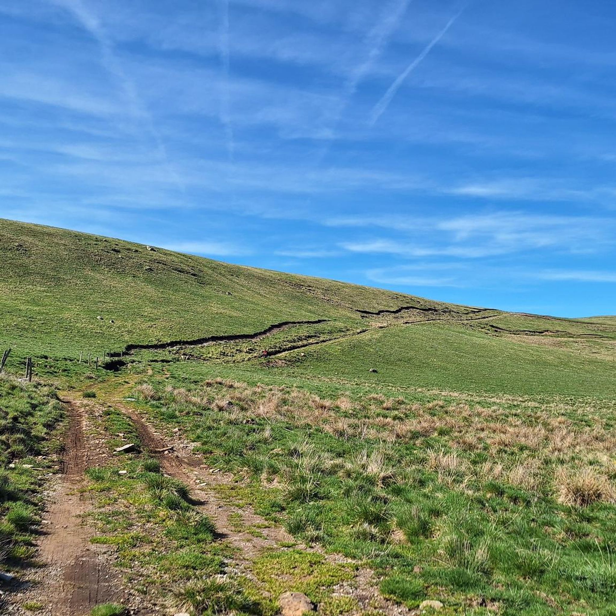
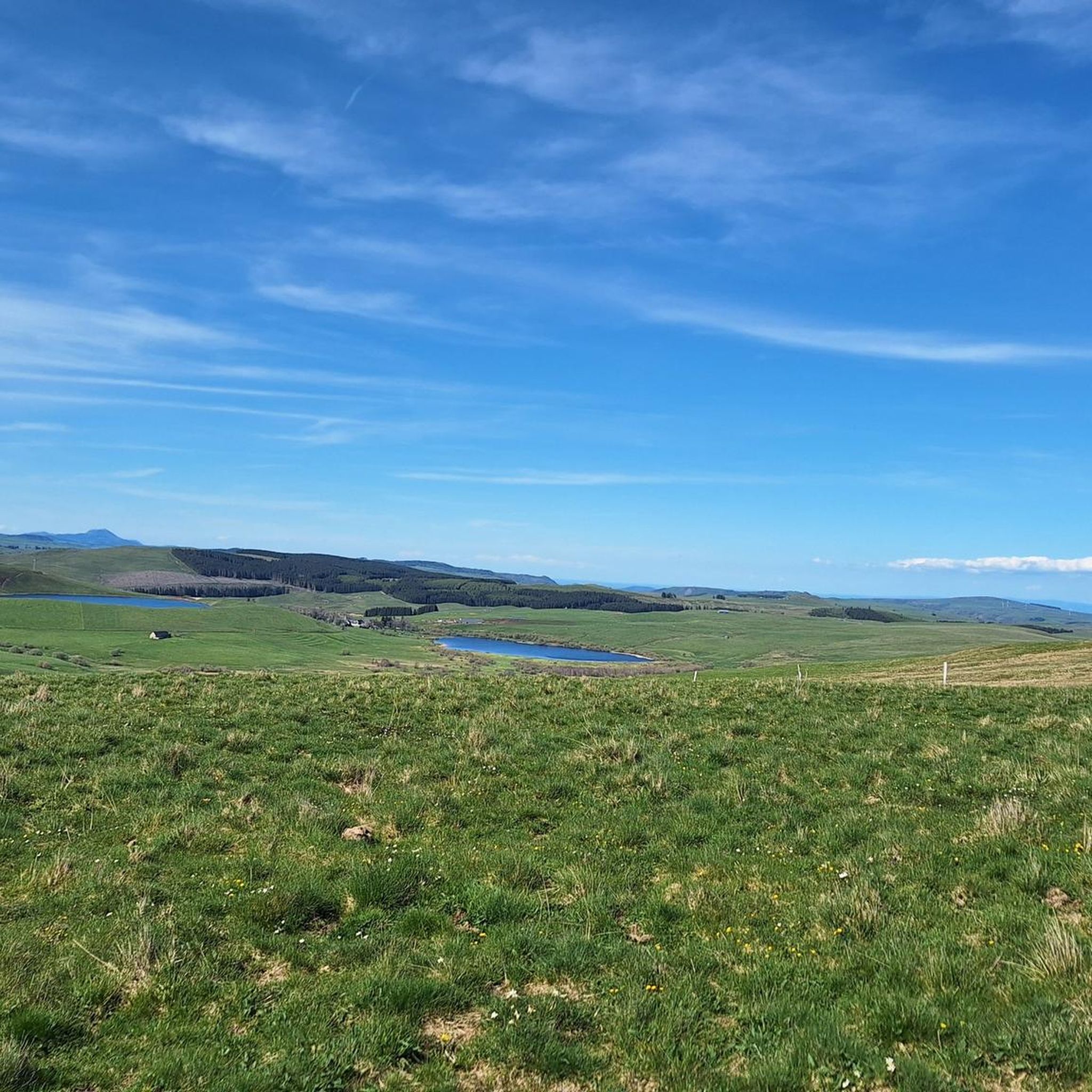
The view is magnificent and the path is smooth.
0
0

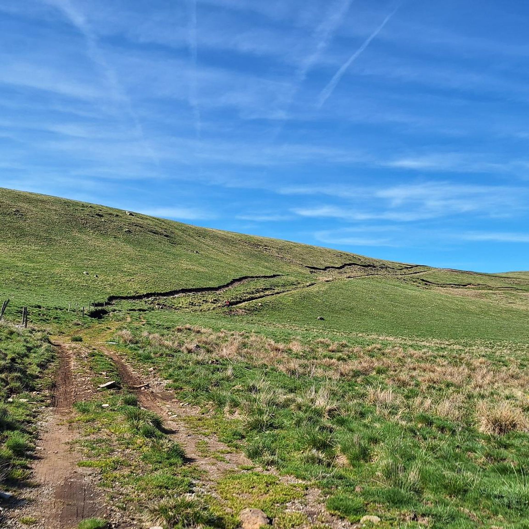
Not too difficult, I did it on a mountain bike.
0
0


Nice section on circuit N°13 - La Chaux de l’espace Sancy VTT-FFC leaving from Egliseneuve d’Entraigues.
0
0
Frequently Asked Questions
How many mountain bike trails are available around Montgreleix?
There are over 25 mountain bike trails around Montgreleix, offering a diverse range of experiences for all skill levels. These routes are highly rated by the komoot community, with an average score of 4.2 stars from more than 30 reviews.
What kind of terrain can I expect on mountain bike trails in Montgreleix?
The terrain around Montgreleix is varied, reflecting its volcanic origin. You'll find a mix of broad trails across vast summer pastures and expansive meadows, as well as more technical single tracks on rocky ground, especially around features like Mont Chamaroux. The region features high plateaus, verdant forests, and challenging ascents, ensuring a diverse riding experience.
Are there any easy mountain bike trails suitable for beginners or families in Montgreleix?
Yes, there are trails suitable for beginners. While many routes offer moderate to difficult challenges, at least one easy mountain bike trail is available. These easier paths allow families and less experienced riders to enjoy the scenic landscapes of Montgreleix.
Can I find mountain bike trails with scenic viewpoints in Montgreleix?
Absolutely. The region is known for its exceptional panoramas. Many trails offer breathtaking views, particularly from elevated points like Mont Chamaroux. You can find stunning vistas such as the View of Mont Chamaroux and the Cézallier mountains, providing memorable breaks during your ride.
Are there any waterfalls or natural attractions along the mountain bike routes?
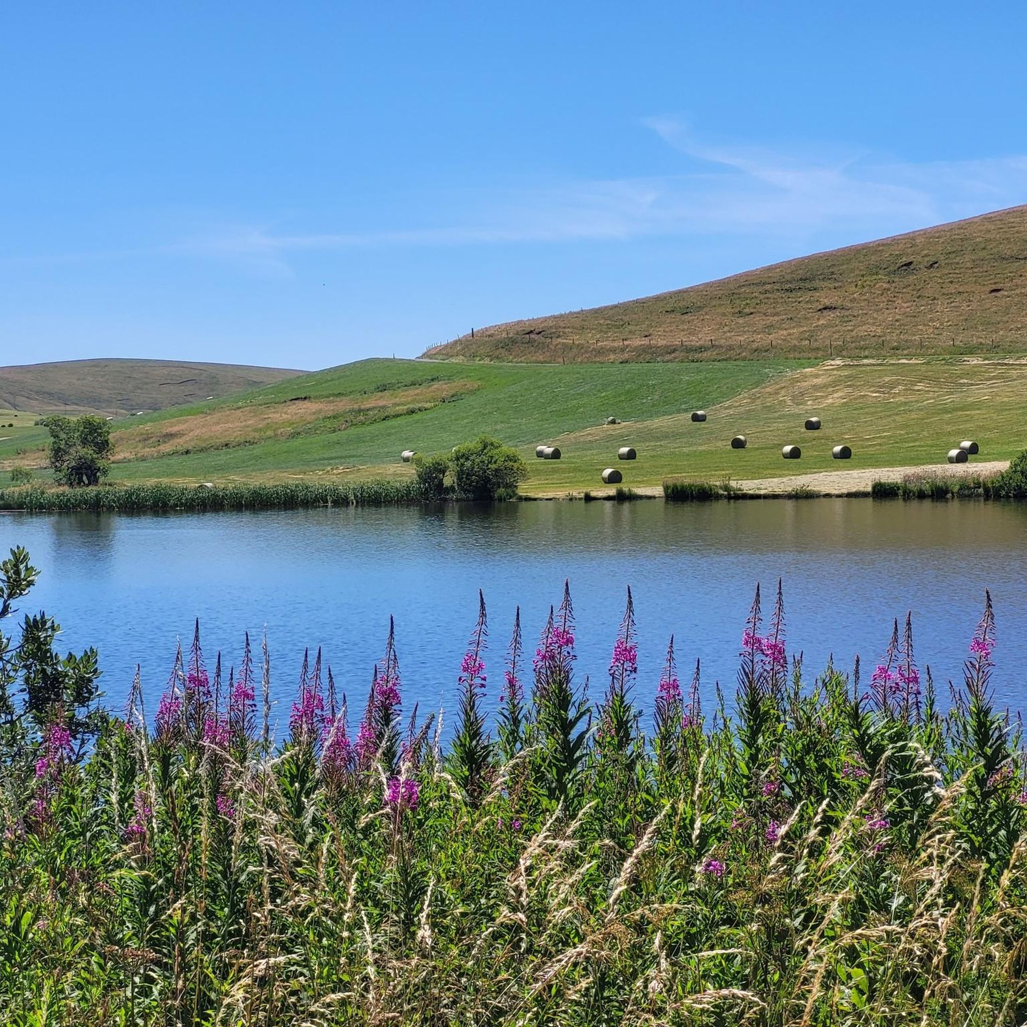
Yes, the area boasts beautiful natural attractions. You can find picturesque waterfalls like the Cascade des Veyrines and the Saillant Waterfall, which offer refreshing stops. Additionally, lakes such as Lac Chauvet are accessible, providing serene spots to explore.
What is the best time of year to go mountain biking in Montgreleix?
The best time for mountain biking in Montgreleix is generally during the warmer months when the vast summer pastures and meadows are accessible. While the region transforms for winter sports like cross-country skiing, spring, summer, and autumn offer ideal conditions for exploring the trails.
Are there any circular mountain bike routes around Montgreleix?
Many of the mountain bike routes in Montgreleix are designed as loops, allowing you to start and finish in the same location. An example is the moderate Circuits les Granjounes et la Chaux – boucle au départ d'Egliseneuve d'Entraigues, which explores the regional natural park.
Where can I find parking for mountain biking in Montgreleix?
Specific parking information for individual trailheads is often detailed on the respective route pages. For example, the La Godivelle – Chamaroux Pass loop starts directly from Montgreleix, implying local parking options. It's advisable to check the starting point of your chosen route for precise parking details.
What do other mountain bikers enjoy most about the trails in Montgreleix?
Mountain bikers frequently praise the diverse volcanic landscapes, vast pastures, and high plateaus that define the Montgreleix region. The komoot community rates the routes highly, with an average of 4.2 stars, often highlighting the mix of challenging ascents and scenic paths across its natural features.
Are there any long-distance mountain bike routes in the Montgreleix area?
Yes, for those seeking longer rides, Montgreleix offers several extensive routes. The difficult Lake Montcineyre – Lake Estivadoux loop from Brion-Bas spans nearly 55 miles (88 km) with significant elevation gain, passing by two notable lakes. Another option is the Montée Paillasseyre – GTMC — Allanche loop from Le Fraud, covering over 39 miles (63 km) through the Cézallier landscape.
Are there any specific regulations or permits required for mountain biking in Montgreleix?
The region around Montgreleix is generally open for outdoor activities. While specific permits for mountain biking are not commonly required for general trail use, it's always good practice to respect local signage and any specific rules posted within natural parks or protected areas. For general information on mountain biking in the wider region, you may consult resources like hautesterrestourisme.fr.
What other outdoor activities can be enjoyed in Montgreleix besides mountain biking?
Montgreleix is a hub for various outdoor pursuits. Beyond mountain biking, visitors can enjoy hiking, with the village being a stopover on the 'Tour des Vaches Rouges' trail. Horse riding is popular in the vast meadows, and Lac des Estives is excellent for fly fishing. In winter, the area transforms for cross-country skiing and snowshoeing.
Most popular routes around Montgreleix
Most popular attractions around Montgreleix

Get inspired with the komoot mobile app


Explore more
Browse the best MTB trails in other regions.
