The best mountain hikes around Sorbollano
4.8
(36)
220
hikers
1
hike
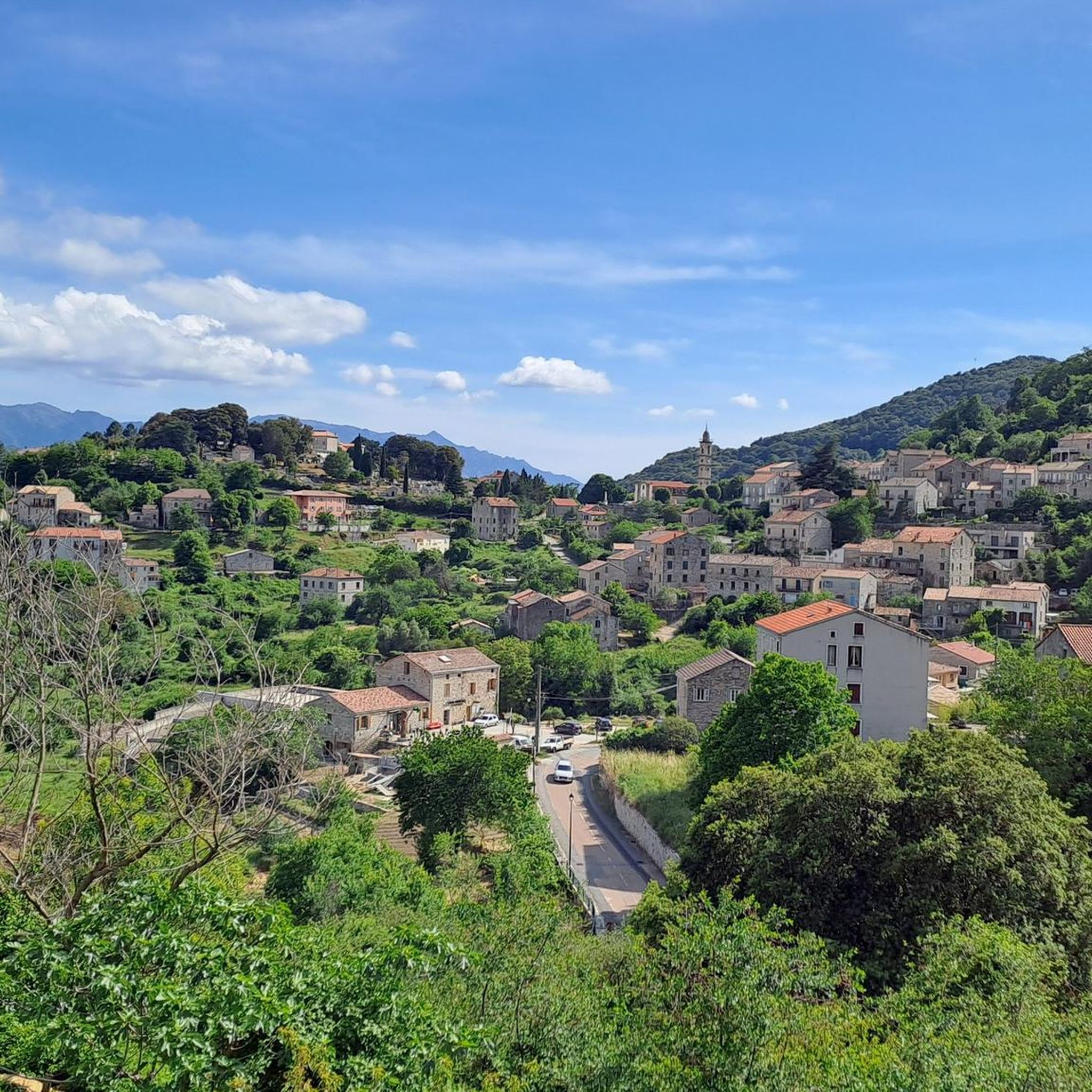
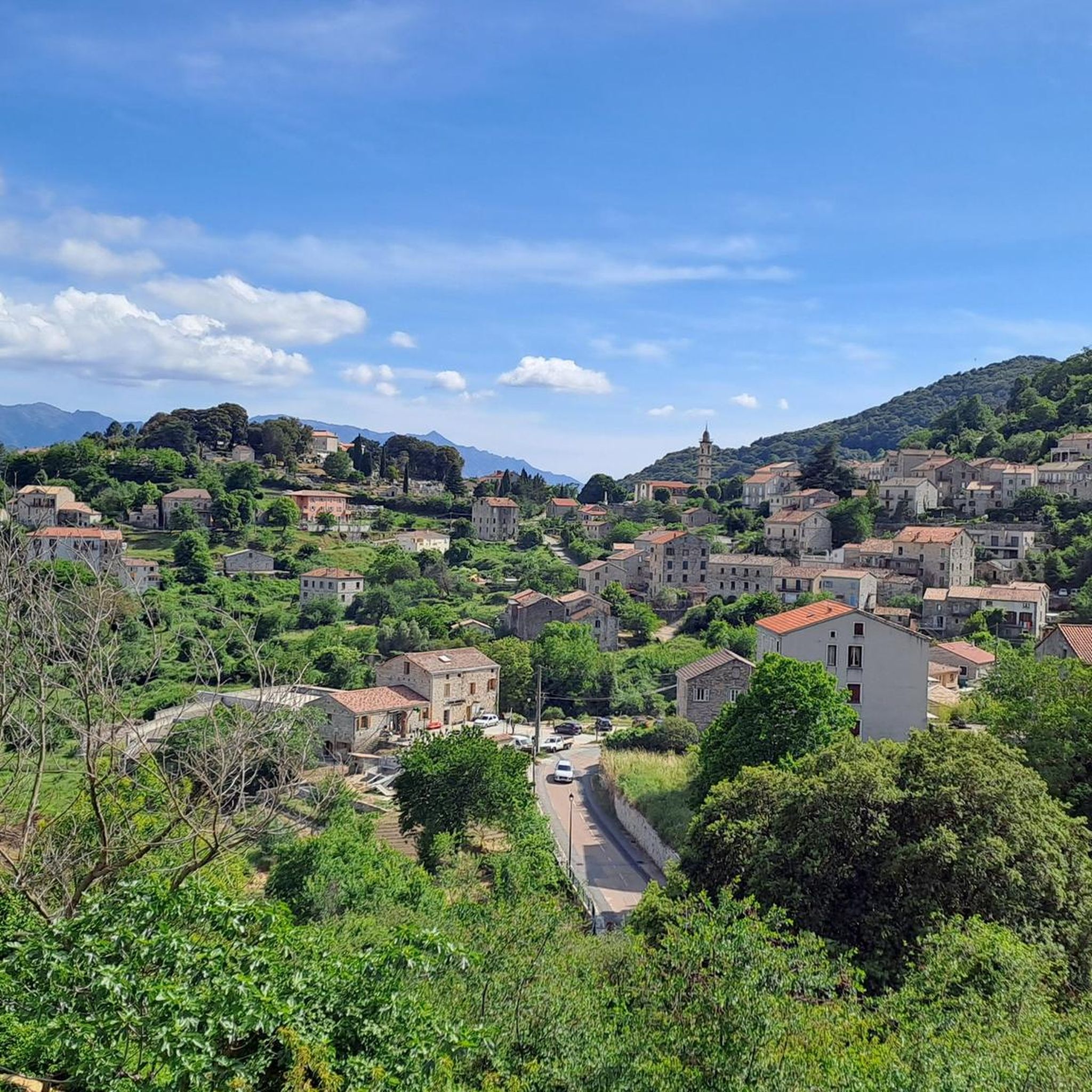
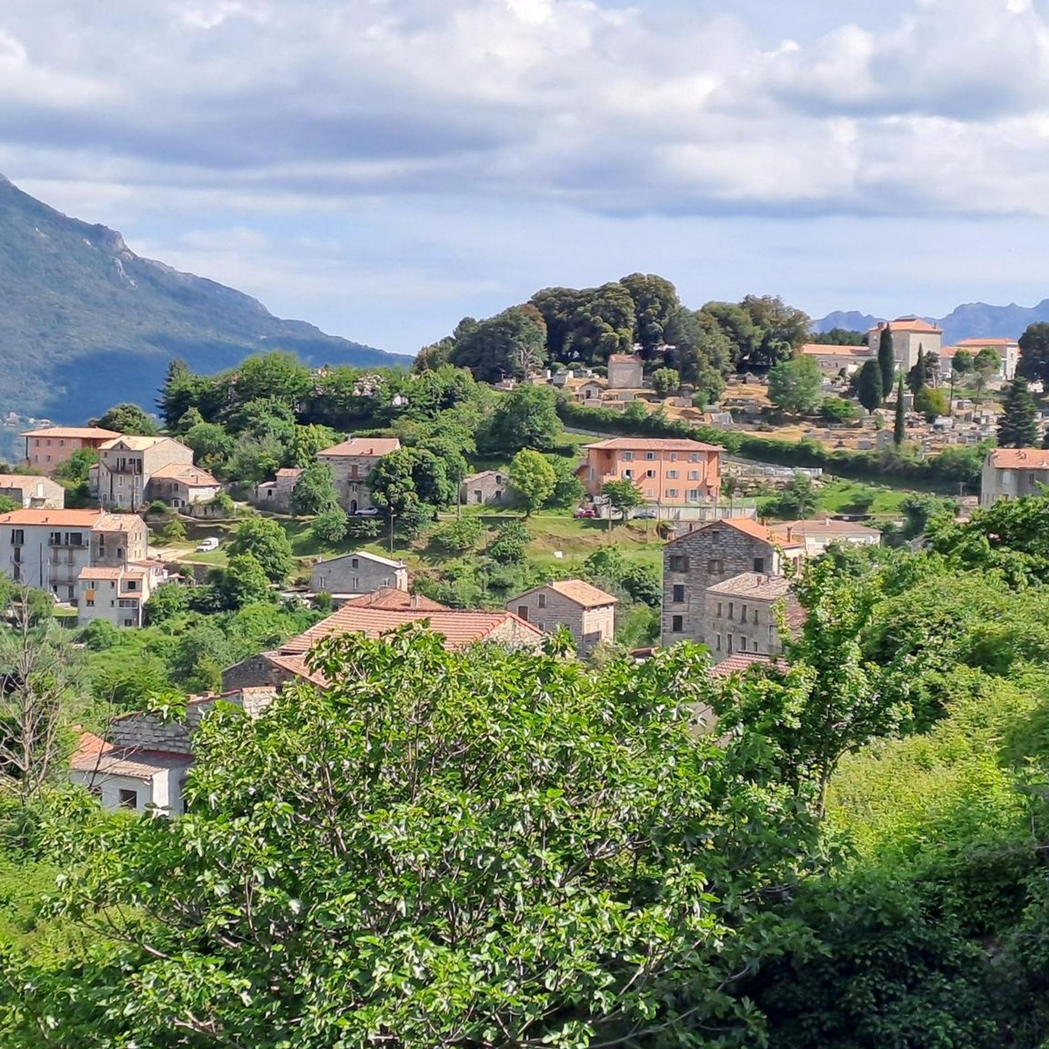
Mountaineering around Sorbollano is characterized by its rugged, mid-mountain relief within the Alta Rocca region of Corsica. The area features significant elevation changes, with the commune's highest point, Punta di a Cuciurpula, reaching 1,164 meters. This challenging topography, part of the Incudine massif, provides a natural playground for various outdoor pursuits, including routes over granite formations and through deep valleys.
Best mountaineering routes around Sorbollano
- The most popular mountaineering route is Secured Climbing Passage – Iron Chain Climbing Route loop…
Last updated: October 15, 2026
4.9
(20)
117
hikers
11.5km
05:31
710m
710m
Hard mountaineering route. Very good fitness required. Sure-footedness, sturdy shoes and alpine experience required.
4.3
(11)
60
hikers
6.61km
02:16
250m
250m
Hard mountaineering route. Good fitness required. Sure-footedness, sturdy shoes and alpine experience required.

4.5
(2)
16
hikers
10.0km
04:18
540m
540m
Moderate mountaineering route. Good fitness required. Mostly walkable paths. Sure-footedness required.
5.0
(1)
3
hikers
2.37km
01:17
190m
190m
Hard mountaineering route. Sure-footedness, sturdy shoes and alpine experience required.
5
hikers
8.06km
03:17
380m
380m
Moderate mountaineering route. Good fitness required. Mostly walkable paths. Sure-footedness required.
Our route recommendations are based on thousands of hikes, rides, and runs completed by other people on komoot.
Start today with a free account
Your next adventure awaits.
Tips from the Community

If you decide to hike back to the Bavella Pass, you need stamina.
0
0


Most exiting point of the GR20-South due to various chains at steep slopes
0
0
Beautiful view. Great scenery.
0
0

A great, but difficult tour. Good fitness and surefootedness are required! The trail is well marked with yellow and red markers.
0
0

Bocca di u Truvone rises to 1,434 metres. The wild beauty of this place is breathtaking. Admire the cliffs and rock towers and the views overlooking the valley. On a clear day you can see the Aiguilles de Bavella, an emblematic place of the island. It is important to be in good physical condition to reach the pass, and the route includes some climbing passages.
0
2

Nice little hike to Trou de la Bombe, a rock arch. Various paths allow for a circular hike. Parking spaces are limited and chargeable. A nice mountain restaurant near the parking lot.
0
0
Frequently Asked Questions
How many mountaineering routes are available around Sorbollano?
The komoot community has mapped several mountaineering routes around Sorbollano, with over 212 mountaineers having explored the varied terrain using komoot. These routes offer a range of challenges within the rugged Alta Rocca region.
What is the best time of year for mountaineering in Sorbollano?
The best time for mountaineering around Sorbollano is generally from late spring through autumn. While the region offers snowshoeing in winter, higher altitudes can retain snow until late spring, making summer and early autumn ideal for challenging ascents and enjoying the full extent of the trails.
What kind of terrain can I expect on mountaineering routes near Sorbollano?
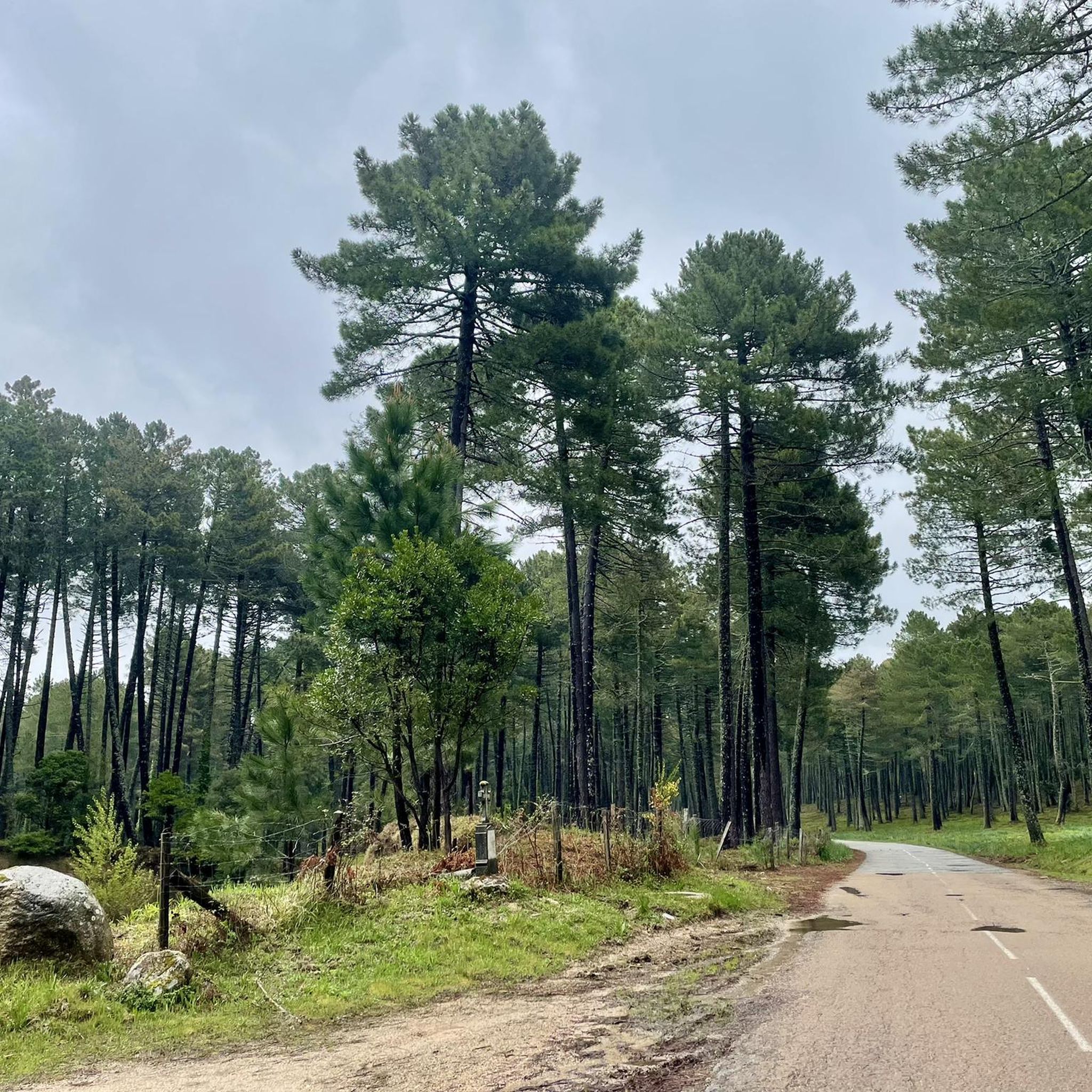
Mountaineering around Sorbollano is characterized by rugged, mid-mountain relief with significant elevation changes. You'll encounter granite formations, steep slopes, and deep valleys. Routes often traverse impressive oak forests, ancient cultivated terraces, and transition to more rocky terrain at higher altitudes, offering varied and picturesque scenery.
Are there circular mountaineering routes available around Sorbollano?
Yes, there are several circular mountaineering routes. For example, the Secured Climbing Passage – Iron Chain Climbing Route loop from Col de Bavella is a challenging 11.5 km loop. Another option is the Bavella Pass – loop from Col de Bavella, a difficult 6.6 km path offering panoramic views.
What do other mountaineers enjoy most about the routes in Sorbollano?
The mountaineering routes around Sorbollano are highly rated by the komoot community, with an average score of 4.9 stars from over 30 reviews. Mountaineers often praise the challenging ascents, the stunning panoramic views of the Rizzanese valley and the surrounding massifs, and the opportunity to explore unique granite formations.
Are there any interesting landmarks or natural features to see along the mountaineering routes?
Absolutely. The region is rich in natural beauty and landmarks. You can explore various mountain passes like Bavella Pass and Truvone Pass. There are also notable peaks such as Punta della Vacca and Mount Calva, offering breathtaking views, including the iconic View of the Bavella Needles from Dame Jeanne.
Are there easier mountain walks suitable for families near Sorbollano?
While many mountaineering routes are challenging, the broader Alta Rocca region, where Sorbollano is located, offers a spectrum of outdoor activities. There are well-marked trails, including easier loops around Sorbollano itself, which allow discovery of old cultivated terraces and offer magnificent views, suitable for those seeking less strenuous mountain experiences. For specific family-friendly options, it's best to check individual tour descriptions for difficulty ratings.
Can I bring my dog on mountaineering trails in Sorbollano?
Sorbollano is located within the Regional Natural Park of Corsica. While some trails may permit dogs, it's crucial to be aware of specific regulations within the park, especially concerning protected areas or wildlife. It's advisable to check local signage or park guidelines regarding dog access and leash requirements before heading out.
Do I need permits for mountaineering in Sorbollano or the Bavella Massif?
Generally, permits are not required for hiking or mountaineering on established trails within the Regional Natural Park of Corsica, including areas around Sorbollano and the Bavella Massif. However, for specific technical climbing routes or certain protected zones, it's always wise to consult local information centers or the park authority for any specific requirements.
Where can I find parking for mountaineering routes near Sorbollano?
Many mountaineering routes, particularly those in the Bavella Massif, often start from well-known points like Col de Bavella, where designated parking areas are usually available. For routes directly from Sorbollano village, parking might be found within the village itself or at specific trailheads. Always check the starting point of your chosen route for parking information.
Are there places to eat or stay near the mountaineering routes?
Sorbollano, as a charming village in the Alta Rocca region, offers some local amenities. You can find cafes and accommodation options within Sorbollano itself. Additionally, the broader Alta Rocca region and nearby villages provide various choices for dining and lodging, especially around popular starting points like Col de Bavella, which is a hub for outdoor activities.
What is the typical difficulty level of mountaineering routes in this area?
Mountaineering routes around Sorbollano range from moderate to difficult. For instance, the Refuge de Paliri – Foce Finosa (1206 m) loop from Col de Bavella is rated as moderate, while routes like the Bavella Pass – Iron Chain Climbing Route loop from Col de Bavella and Bavella Pass – Rocher de la Gojira loop from Col de Bavella are considered difficult, often involving challenging ascents and rocky terrain.
Most popular routes around Sorbollano
Most popular attractions around Sorbollano

Get inspired with the komoot mobile app


Explore more
Browse the best Mountain Hikes & Routes in other regions.
