The best running trails around Gourdièges
5.0
(4)
133
runners
38
runs
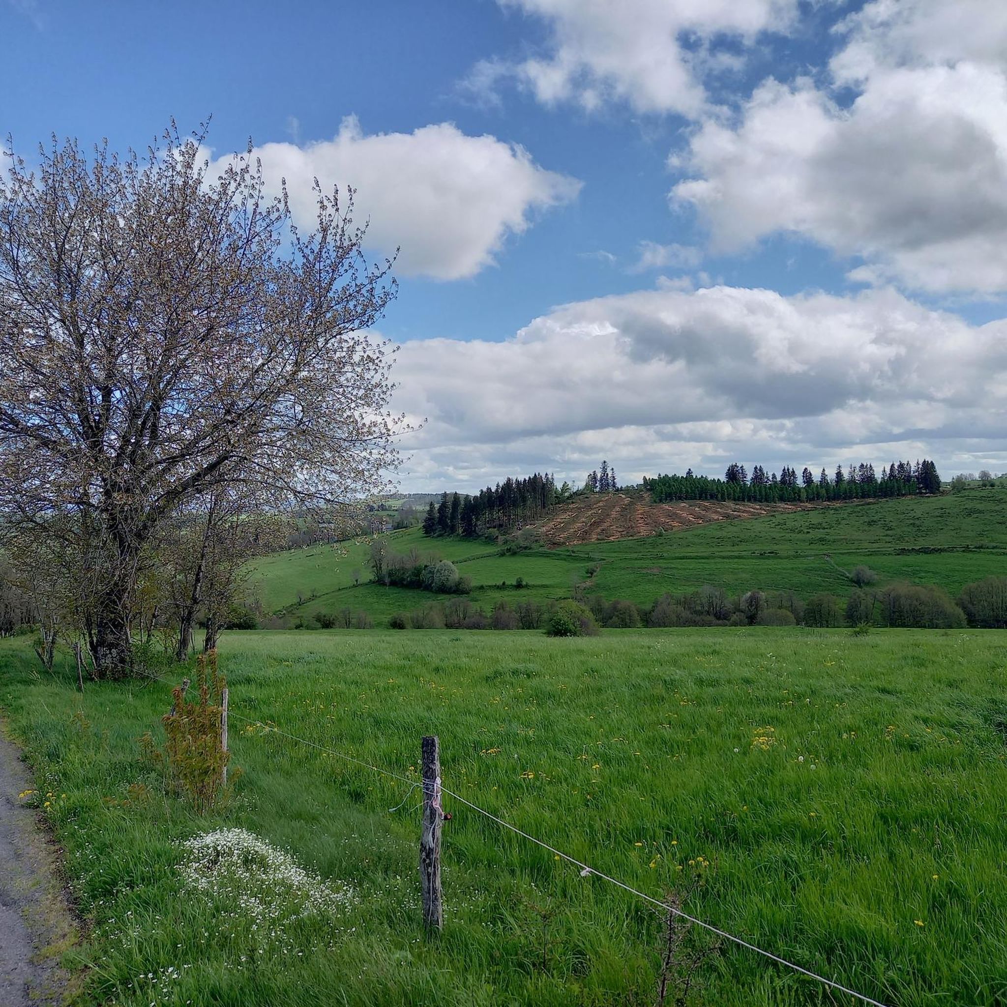
Jogging around Gourdièges provides access to the diverse terrain of the Cantal department, nestled within the Auvergne Volcanoes Regional Natural Park. The landscape is characterized by the remnants of Europe's largest stratovolcano, featuring distinctive ridges, expansive plateaus, and deep valleys. Running routes here traverse a mix of hilly and mountainous areas, verdant forests, and scenic river valleys. This varied topography offers a range of running experiences.
Best jogging routes around Gourdièges
- The most popular jogging route is Running loop from…
Last updated: June 29, 2026
19
runners
16.2km
01:54
390m
390m
Hard run. Very good fitness required. Mostly paved surfaces. Suitable for all skill levels.
5
runners
8.67km
00:56
80m
80m
Moderate run. Good fitness required. Mostly paved surfaces. Suitable for all skill levels.

Sign up for free
5
runners
8.86km
00:57
80m
80m
Moderate run. Good fitness required. Mostly paved surfaces. Suitable for all skill levels.
5.0
(1)
4
runners
6.33km
00:40
60m
70m
Moderate run. Good fitness required. Mostly paved surfaces. Suitable for all skill levels.
4
runners
14.7km
01:33
140m
140m
Moderate run. Good fitness required. Mostly paved surfaces. Suitable for all skill levels.
Get access to more routes and recommendations from other explorers.
Sign up for free
Already have an account?
Our route recommendations are based on thousands of hikes, rides, and runs completed by other people on komoot.
Start today with a free account
Your next adventure awaits.
Login or Signup
Tips from the Community

Paulhac is a small town of just over 400 inhabitants which is part of the regional natural park of the volcanoes of Auvergne.
0
0

The Narse de Lascols is a wetland of more than 100 hectares, which hosts a very rich fauna and flora. At this place, there is a nest-shaped observatory that allows you to observe the birds discreetly. Perfect break for lunch!
1
0

On the edge of the Narse de Lascols, a nest-shaped observatory allows you to observe migratory and non-migratory birds in complete discretion.
0
0
Frequently Asked Questions
How many running routes are available around Gourdièges?
There are over 30 running routes available around Gourdièges, offering a variety of experiences within the Cantal department. These routes range from moderate to difficult, traversing the unique volcanic landscape.
What kind of terrain can I expect on the running trails near Gourdièges?
The terrain around Gourdièges is diverse, characterized by the remnants of Europe's largest stratovolcano. You'll encounter a mix of hilly and mountainous areas, expansive plateaus, and deep valleys carved by rivers like the Lot and Cère. Many routes feature significant elevation changes, especially those in the wider Cantal Mountains.
Are there any easy or beginner-friendly jogging routes in the area?
While many routes in the Gourdièges area involve moderate to significant elevation, there are options that are less demanding. For example, the Running loop from Cussac is a moderate 3.9-mile (6.3 km) trail with manageable elevation changes, often completed in about 40 minutes, making it a good choice for those seeking a less strenuous run.
Can I find circular running routes around Gourdièges?
Yes, many of the running routes around Gourdièges are circular, allowing you to start and finish at the same point. Examples include the popular Running loop from Rochegonde and the Lascols swimming loop from Cussac, providing convenient options for your run.
Are the jogging trails around Gourdièges suitable for families?
The suitability for families depends on the specific route and the family's fitness level. While some routes have significant elevation, shorter, moderate trails like the Running loop from Cussac could be suitable for active families. Always check the route's difficulty and length before heading out.
Are dogs allowed on the running trails in the Gourdièges region?
The Gourdièges region is part of the Auvergne Volcanoes Regional Natural Park. Generally, dogs are allowed on trails but must be kept on a leash, especially in areas with livestock or protected wildlife. Always respect local signage and regulations.
What natural features or landmarks can I see while jogging near Gourdièges?
Jogging near Gourdièges offers stunning views of the Cantal volcanic landscape. You might encounter the Banks of the Truyère, the charming village of Paulhac, or the Grifoul Pass. The broader region is known for iconic sites like Puy Mary and the dramatic Gorges de la Truyère, offering breathtaking vistas.
Where can I park when accessing running routes around Gourdièges?
Specific parking information varies by route. However, many trailheads in the Cantal region, especially near villages like Cussac or Paulhac, offer designated parking areas. It's advisable to check the starting point of your chosen route for detailed parking instructions.
What is the best time of year to go jogging in Gourdièges?
The Cantal region offers a varied experience throughout the year. Spring and autumn provide pleasant temperatures and vibrant scenery, with fewer crowds. Summer is also popular, but trails can be busier. The landscape transforms beautifully with the seasons, from flowery meadows to snow-capped peaks, so your preference for scenery and weather will dictate the best time for you.
Are there options for winter jogging in the Gourdièges area?
Winter jogging is possible in the Gourdièges area, but conditions can be challenging due to snow and ice, especially at higher elevations. The region's peaks are often snow-capped. For winter runs, it's crucial to check weather forecasts, trail conditions, and wear appropriate gear, including trail shoes with good grip. Some lower-elevation paths might remain accessible.
What do other runners say about the trails in Gourdièges?
The running routes in Gourdièges are highly rated by the komoot community, with an average score of 5.0 stars. Over 90 runners have explored the varied terrain, often praising the tranquility, open spaces, and the unique experience of running amidst the ancient volcanic landscapes of the Cantal.
Are there any longer, more challenging running routes for experienced runners?
Yes, experienced runners will find challenging options. The Running loop from Rochegonde, for instance, is a difficult 10.1-mile (16.2 km) trail with significant elevation gain, taking nearly two hours to complete. The wider Puy Mary Espace Trail also offers over 20 itineraries with substantial elevation, perfect for trail running.
Most popular attractions around Gourdièges

Get inspired with the komoot mobile app


Explore more
Browse the best Running Trails & Routes in other regions.
