The best mountain hikes around Calacuccia
4.7
(22)
157
hikers
10
hikes
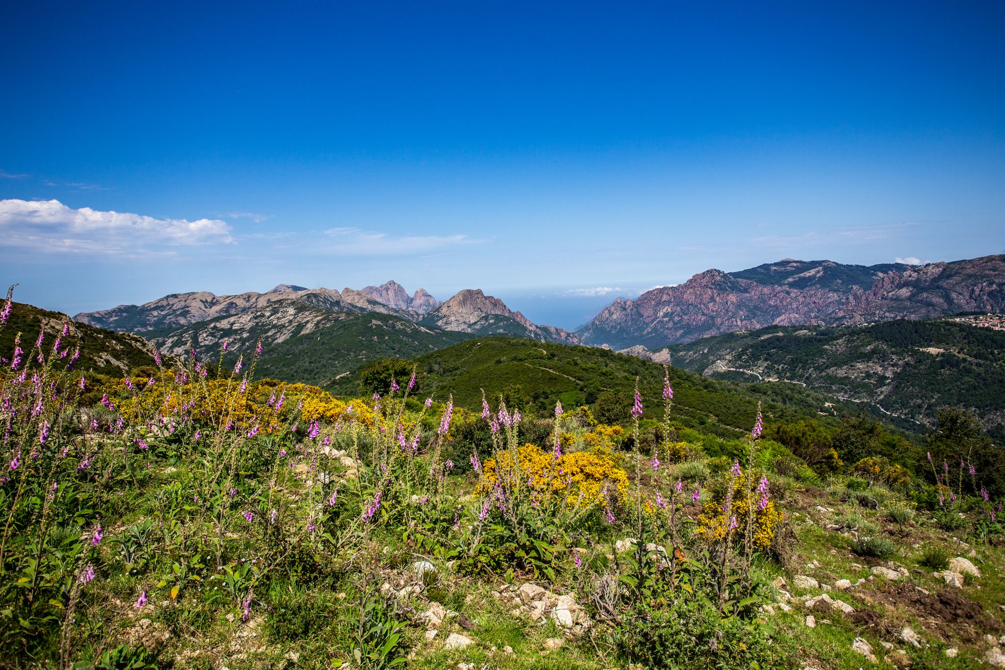
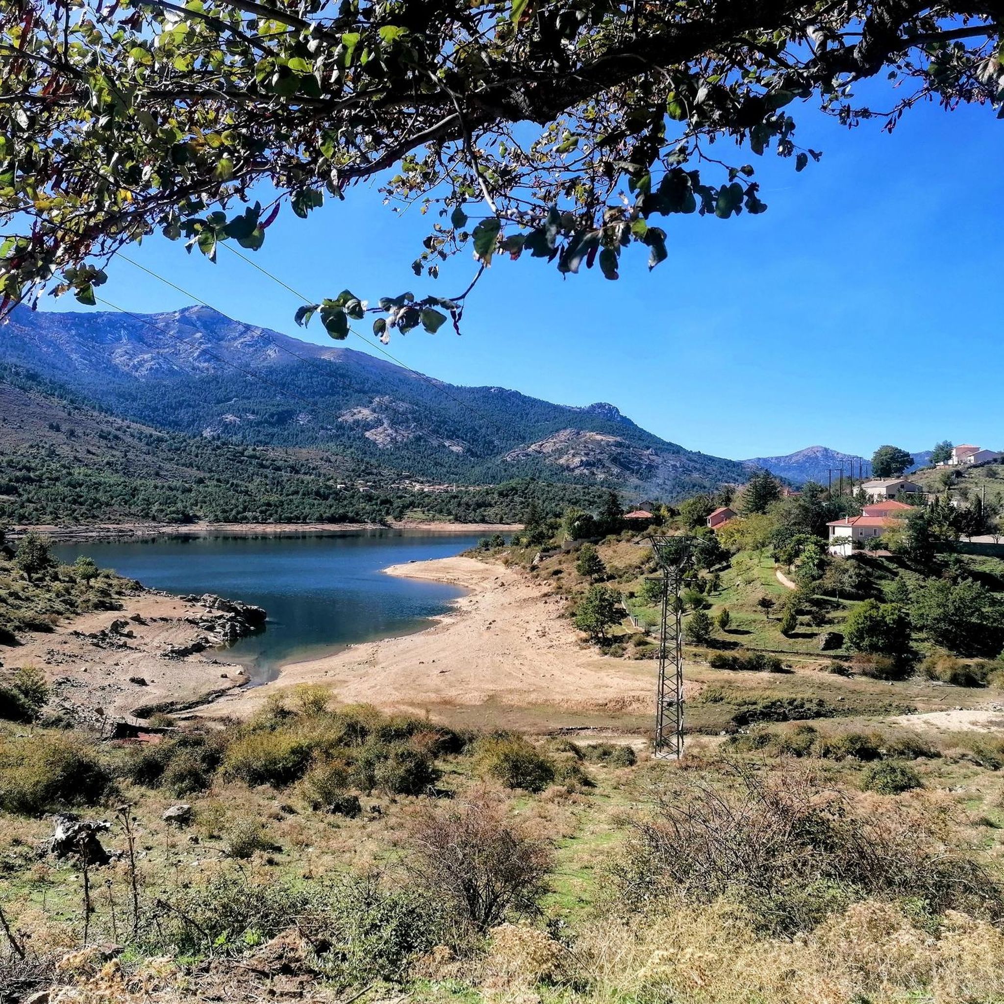
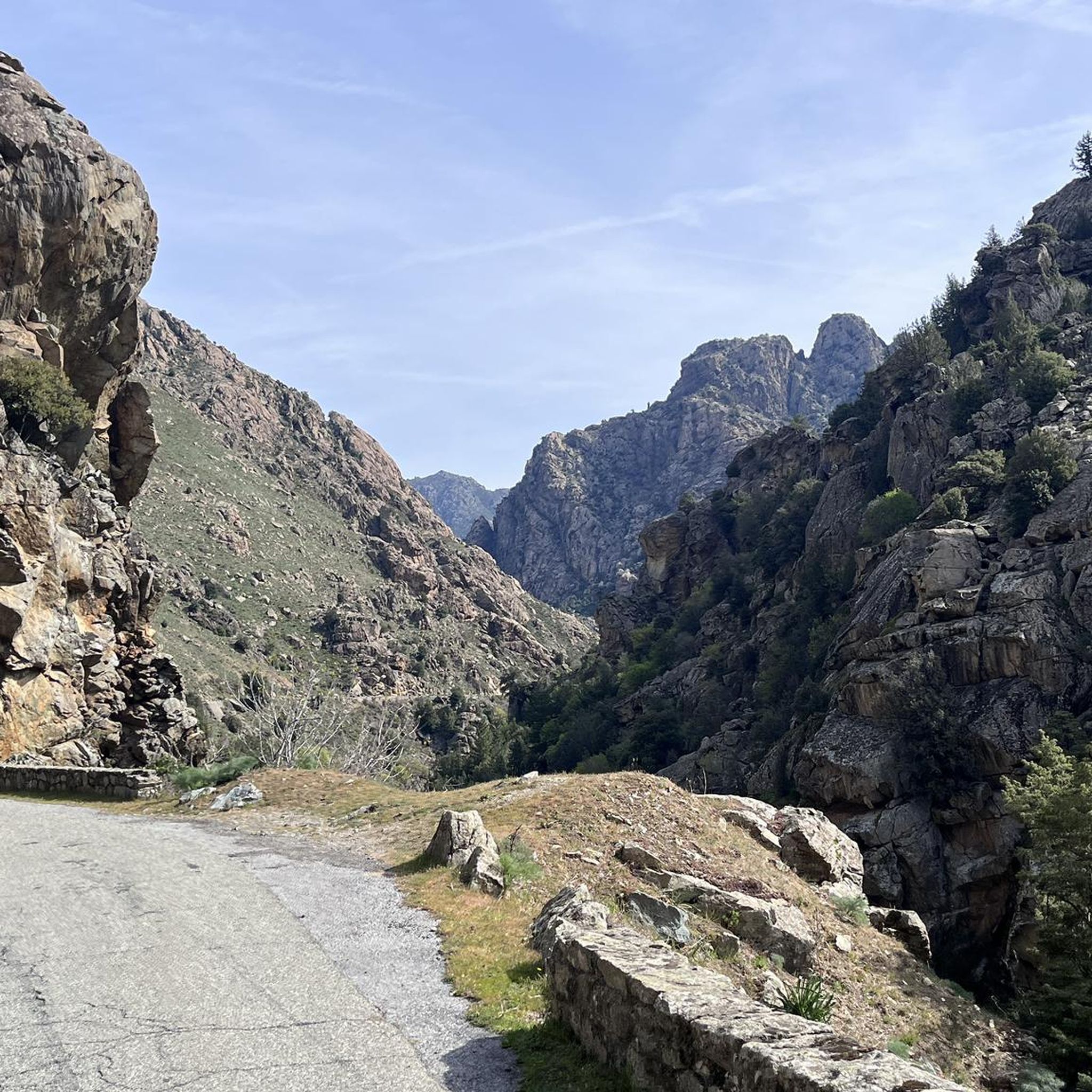
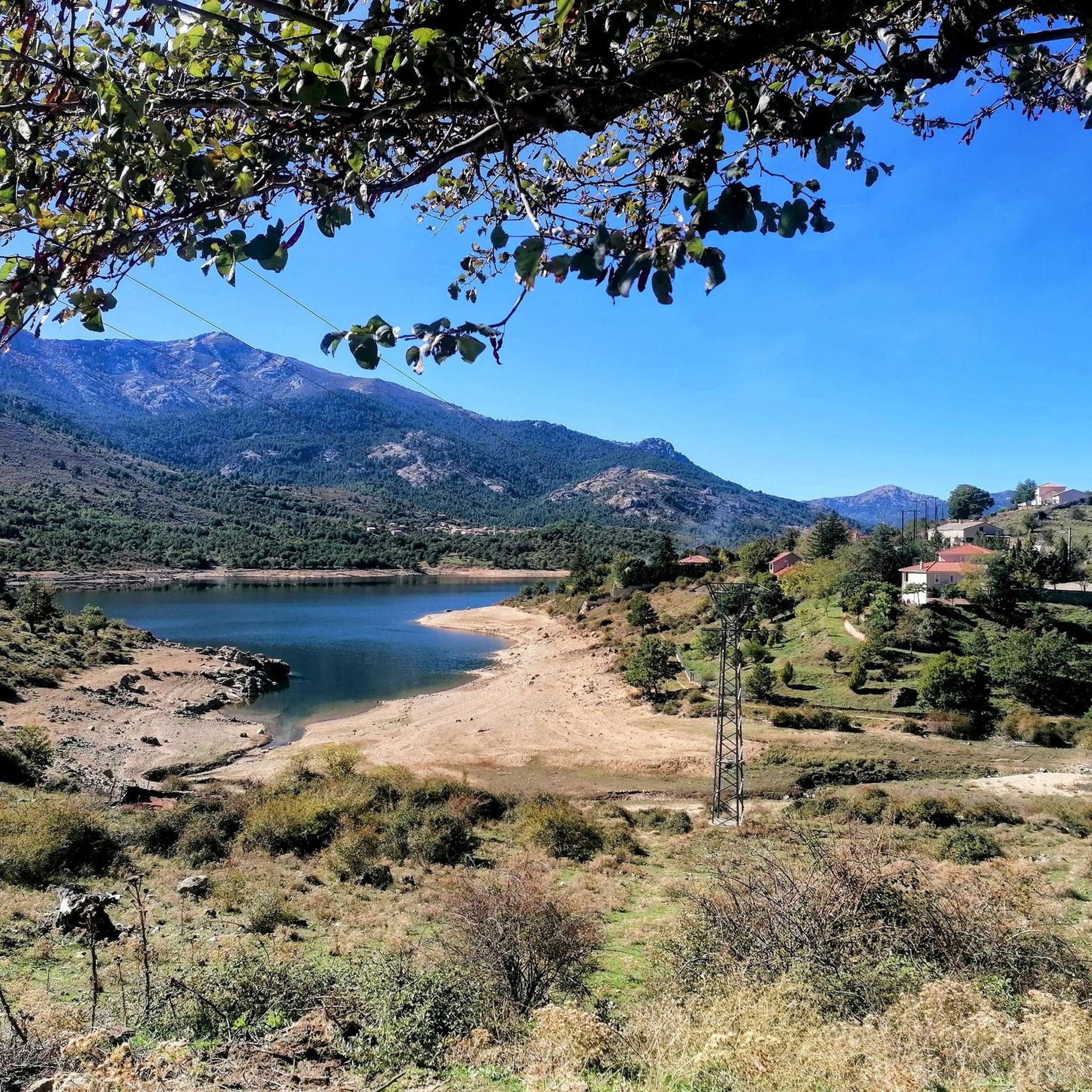
Mountaineering routes around Calacuccia are set within the rugged landscapes of the Corsica Regional Natural Park, offering access to the towering Cinto massif, home to Monte Cinto, Corsica's highest peak. The region is characterized by dramatic peaks, deep valleys carved by the Golo river, and the expansive Lac de Calacuccia. Surrounding areas feature vast herbaceous environments and significant wooded areas, providing diverse terrain for mountaineering.
Best mountaineering routes around Calacuccia
- The most popular mountaineering route is Climbing by stairs and…
Last updated: July 12, 2026
4.7
(7)
31
hikers
10.3km
05:14
740m
740m
Hard mountaineering route. Very good fitness required. Sure-footedness, sturdy shoes and alpine experience required.
5.0
(1)
12
hikers
13.2km
07:48
1,290m
1,290m
Hard mountaineering route. Very good fitness required. Sure-footedness, sturdy shoes and alpine experience required.

Sign up for free
4.8
(6)
26
hikers
15.6km
06:48
860m
860m
Hard mountaineering route. Very good fitness required. Sure-footedness, sturdy shoes and alpine experience required.
5.0
(3)
39
hikers
19.9km
08:04
1,030m
1,030m
Hard mountaineering route. Very good fitness required. Sure-footedness, sturdy shoes and alpine experience required.
5.0
(2)
24
hikers
13.4km
08:43
1,520m
1,520m
Hard mountaineering route. Very good fitness required. Sure-footedness, sturdy shoes and alpine experience required.
Get access to more routes and recommendations from other explorers.
Sign up for free
Already have an account?
Our route recommendations are based on thousands of hikes, rides, and runs completed by other people on komoot.
Start today with a free account
Your next adventure awaits.
Login or Signup
Other adventures around Calacuccia

Tips from the Community


It's doable, both up and down. A head for heights, sure footing, and a few climbing basics would be helpful. I've seen hikers crying and terrified here...
1
0

Spent three hours cleaning the mess yesterday (I'm from the heart of Vienna and in need of harmony). There are now two 1-square-meter big bags of trash outside. Only a helicopter can take them out, and that's obviously what was intended. Now it's your turn. Please do something!
3
0

Probably only open in summer, when we were there in May everything was locked!
1
0
Frequently Asked Questions
What kind of mountaineering routes can I find around Calacuccia?
Calacuccia offers a diverse range of mountaineering routes, primarily challenging, set within the rugged Corsica Regional Natural Park. You'll find paths leading to high peaks like Monte Cinto, through deep river valleys such as the Golo, and around pristine mountain lakes like Lake Calacuccia. While most routes are difficult, there are some moderate options available, catering to experienced mountaineers and those seeking a significant challenge.
Are there any circular mountaineering routes in the Calacuccia area?
Yes, several excellent circular routes are available. For a challenging ascent with stunning lake views, consider the Climbing by stairs and chains – Lake Capitello loop from Lac de l'Oriente. Another popular option is the Lac de Nino – Drinking fountain with shrine loop from Poppaghja, which takes you through high mountain pastures with views of Lake Nino. For a moderate circular route featuring a waterfall, try the Spring at the Marian Shrine – Bathing pump with waterfall loop from Corte.
What are the best times of year for mountaineering in Calacuccia?
The best time for mountaineering in Calacuccia is generally from late spring to early autumn (May to October). During these months, the weather is more stable, and the higher elevations are typically free of snow, making routes more accessible. However, always check local weather forecasts and trail conditions before heading out, as mountain weather can change rapidly.
Are there any routes suitable for beginners or families with children?
Most mountaineering routes around Calacuccia are rated as difficult, requiring excellent physical fitness and alpine experience. However, some areas offer easier paths. While there are no easy mountaineering routes listed, the region provides varied terrain. For families, consider exploring the adventure parks like Valdoniellu or As Niolu for treetop courses, or look for shorter, less strenuous hikes around Lake Calacuccia rather than full mountaineering ascents.
Where can I find routes with impressive views?
Many routes in Calacuccia offer breathtaking views due to the region's dramatic landscapes. The Monte Cinto – View towards the sea loop from Lozzi provides expansive vistas, including towards the sea from Corsica's highest peak. Routes around Lake Calacuccia and those traversing the Niellu valley also offer superb scenic panoramas, often with snow-capped ridges late into the year.
Are there any waterfalls or wild swimming spots along the mountaineering routes?
Yes, the region is rich in water features. The Spring at the Marian Shrine – Bathing pump with waterfall loop from Corte specifically features a waterfall. Beyond the listed routes, the Asco Valley and Restonica Valley are known for their natural swimming pools and crystal-clear basins. You can also find the Radule waterfall and the Abri d’Antia Waterfall in the wider area.
What are some notable natural landmarks or attractions to see in the Calacuccia area?
The Calacuccia area is home to several significant natural landmarks. You can explore Monte Cinto, Corsica's highest peak, and the beautiful Lake Nino. The expansive Lake Calacuccia itself is a major attraction. Don't miss the impressive La Scala di Santa Regina Gorge, known for its historic transhumance trail and dramatic cliffs.
How many mountaineering routes are available around Calacuccia?
There are over 15 mountaineering routes available around Calacuccia, with the komoot community having explored more than 380 tours in the area. These routes range from moderate to difficult, offering a variety of challenges for outdoor enthusiasts.
What do other mountaineers say about the routes in Calacuccia?
The mountaineering routes in Calacuccia are highly rated by the komoot community, with an average score of 4.9 stars from over 60 reviews. Reviewers often praise the challenging ascents, the stunning natural beauty, and the rewarding views from the high peaks and mountain lakes.
Are there any less crowded mountaineering options in Calacuccia?
While popular routes like those leading to Monte Cinto or Lake Nino can attract visitors, the vastness of the Corsica Regional Natural Park means you can often find quieter trails. Exploring routes in the less frequented parts of the Golo valley or seeking out historic paths like the Scala di Santa Regina during off-peak hours might offer a more secluded experience.
What is the difficulty level of mountaineering in Calacuccia?
Mountaineering in Calacuccia is generally considered challenging. Out of the 16 routes listed, 14 are rated as difficult, and 2 are moderate. These routes often involve significant elevation gain, rugged terrain, and require good physical fitness, sure-footedness, and sometimes alpine experience. Always check the specific route details before embarking on a tour.
Is parking available near the trailheads for mountaineering routes?
Parking availability varies by trailhead. For routes starting from popular access points like Lac de l'Oriente or Bergerie de Grotelle, you will typically find designated parking areas, though they can fill up during peak season. For routes starting from villages like Lozzi or Poppaghja, parking might be available within the village or at specific points along access roads. It's advisable to check the starting point of your chosen route for specific parking information.
Most popular attractions around Calacuccia

Get inspired with the komoot mobile app


Explore more
Browse the best Mountain Hikes & Routes in other regions.
