The best mountain hikes around Liebenstein
2.0
(1)
11
hikers
1
hike
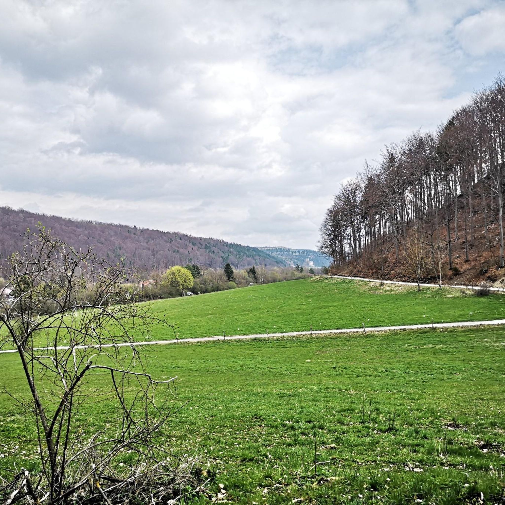
Mountaineering routes around Liebenstein traverse a landscape characterized by rolling hills and dense woodlands, offering varied terrain for exploration. The region features moderate elevation changes, with paths winding through forested areas and occasionally opening to broader views. These routes often follow established trails, providing access to natural features and local points of interest. The area's geology supports a mix of forest and open spaces, suitable for mountaineering activities.
Best mountaineering routes around Liebenstein
- The most popular mountaineering route is Shelter…
Last updated: November 3, 2026
4
hikers
7.53km
02:05
130m
130m
Moderate mountaineering route. Good fitness required. Easily walkable paths.
2.0
(1)
4
hikers
11.2km
03:31
430m
430m
Moderate mountaineering route. Good fitness required. Easily walkable paths.

1
hikers
10.6km
03:18
400m
400m
Moderate mountaineering route. Good fitness required. Easily walkable paths.
1
hikers
6.89km
01:53
100m
100m
Easy mountaineering route. Easily walkable paths.
1
hikers
16.2km
04:48
480m
480m
Moderate mountaineering route. Good fitness required. Easily walkable paths.
Our route recommendations are based on thousands of hikes, rides, and runs completed by other people on komoot.
Start today with a free account
Your next adventure awaits.
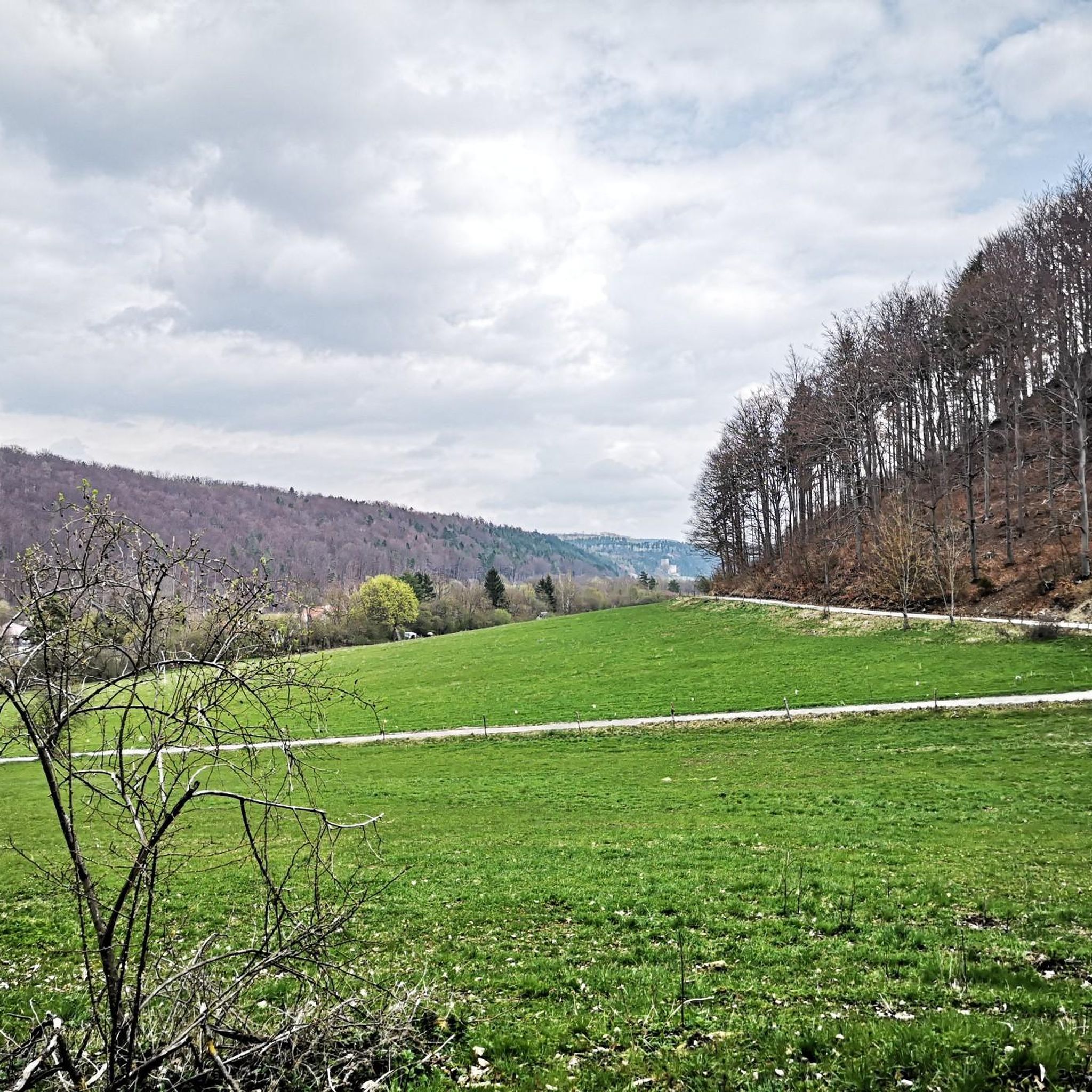
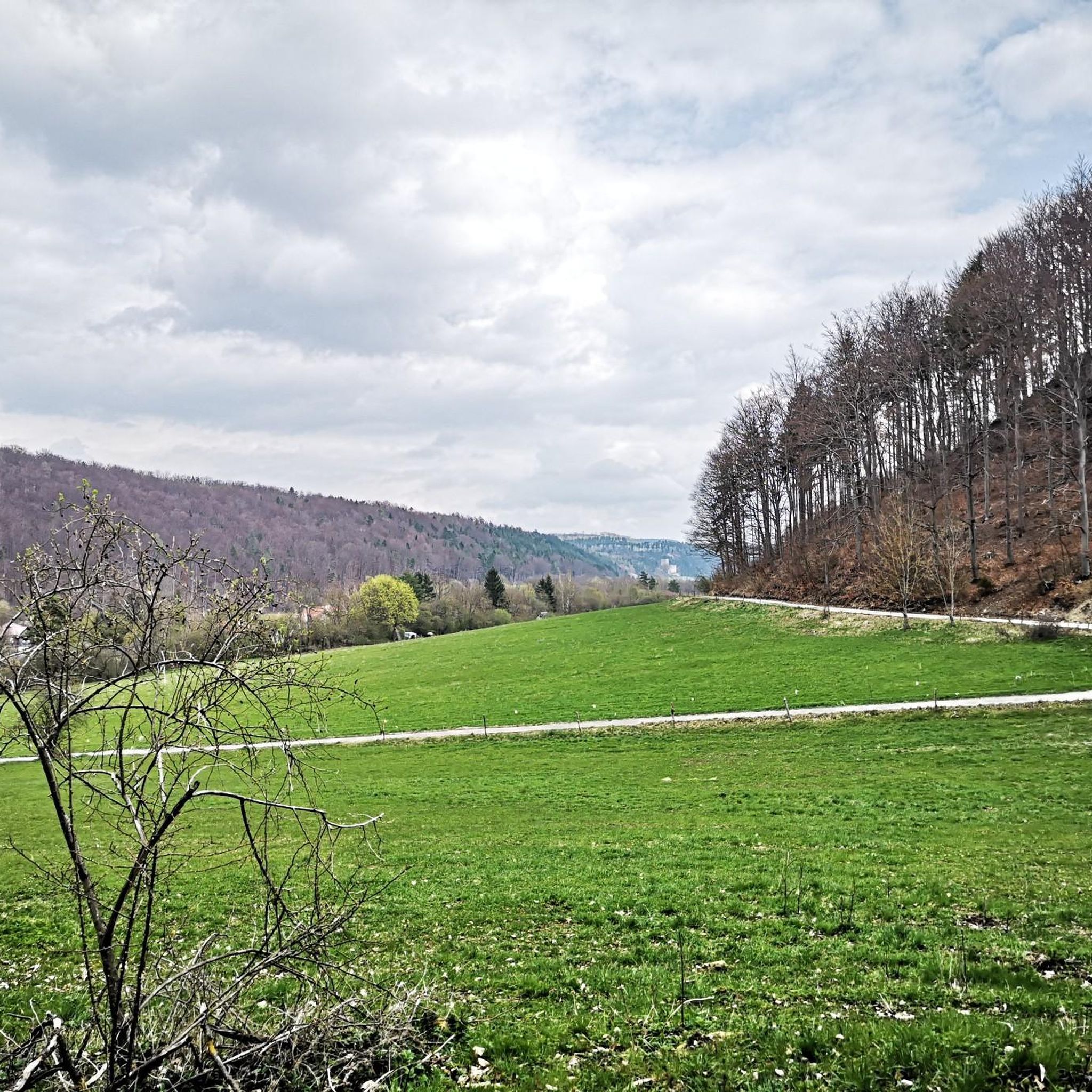
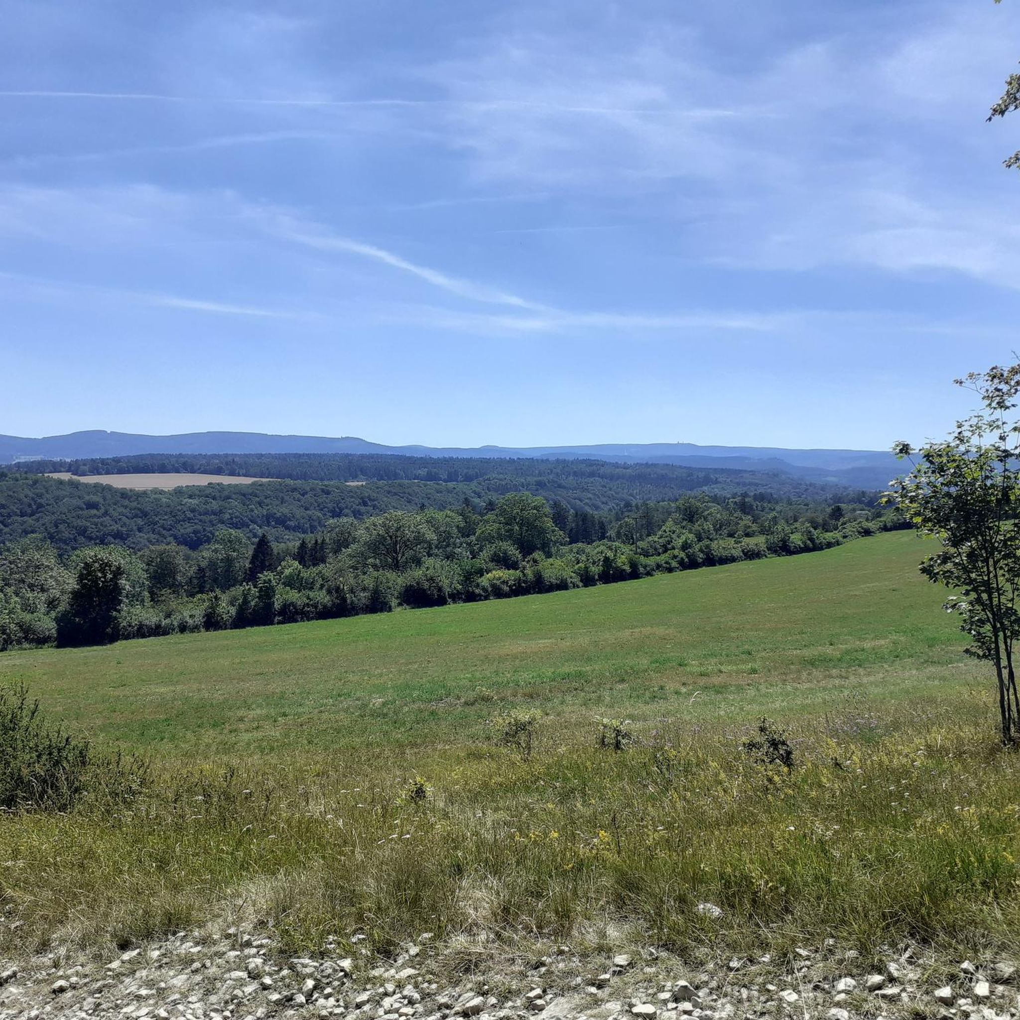
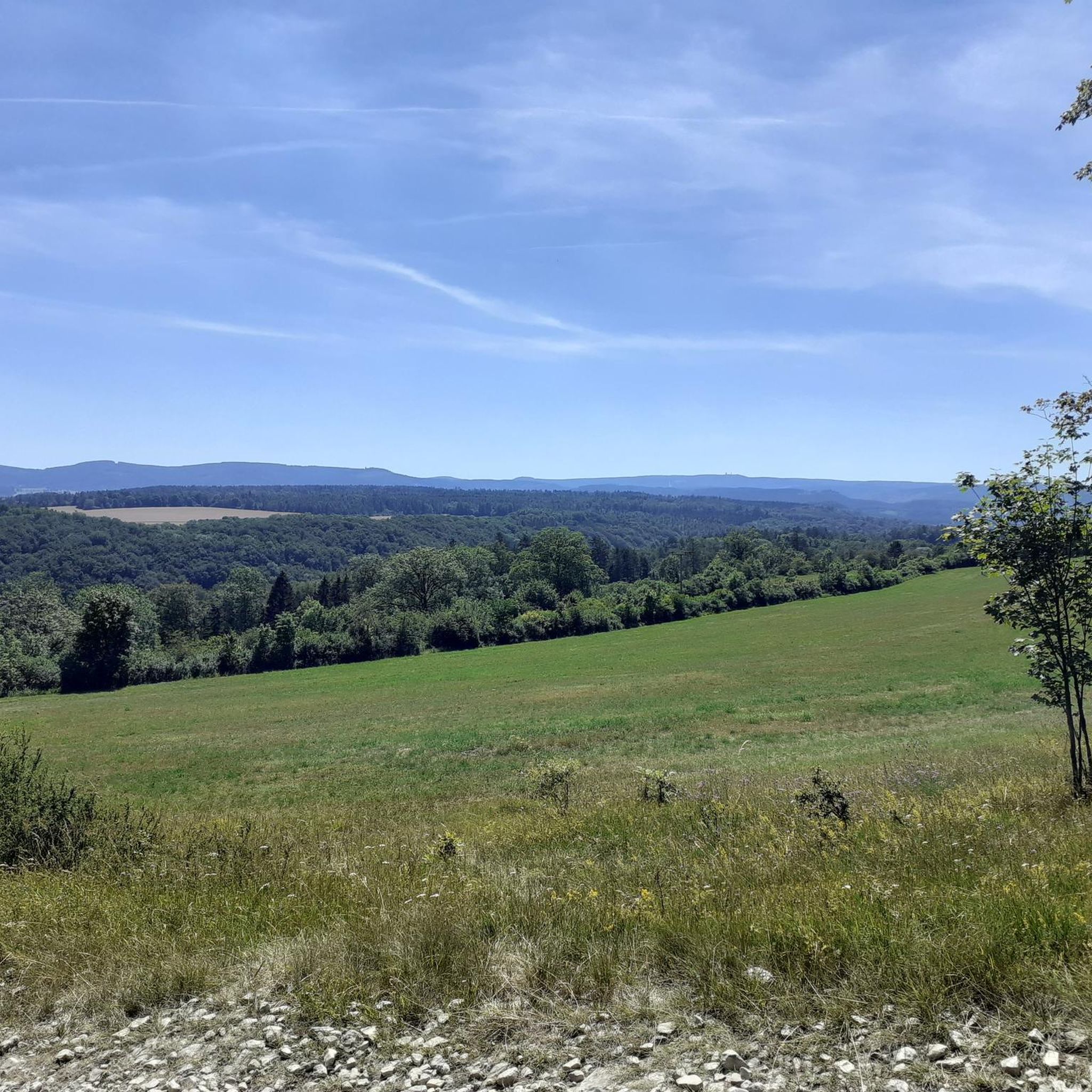
Tips from the Community

☆ A beautiful starting point to begin your goals on the Rennsteig.
0
0

Not far from the Kickelhahn are the remains of the former hunting lodge.😃👍
1
0

[...] Furthermore, "museum trips" take place on the Rennsteigbahn at irregular intervals. These also stop at the Bad stop. [...] Since June 2014, trains of the Erfurter Bahn have been running to Rennsteig station on weekends and public holidays. At the timetable change in December 2017, the services were taken over by Süd-Thüringen-Bahn for eleven years. [...] The station building is a two-story half-timbered building, which is richly decorated and formerly had a small tower on the roof. The roof is very steep, as snowy winters are to be expected due to its location in the Thuringian Forest, and a steeper roof is statically more stable than a flatter one. The building is very similar to the stations of Manebach, Stützerbach, Schmiedefeld, and Schleusingerneundorf. Directly next to the stop are the Lessingpark on the south side and the Ilm on the north side.
1
0

It's a great place for hiking.
0
0

September 25... Unfortunately still closed.
0
0

Downhill trail from Kickelhahn (861 m) to Großer Hermannstein (761 m).
1
0

Wooden shelter with seating directly on the Rennsteig, as well as a stamping point.
6
0
Former Imperial Post Office with beautiful half-timbered architecture, built in 1889/90, today a pharmacy and residential building.
9
1
Frequently Asked Questions
How many mountaineering routes are available around Liebenstein?
Liebenstein offers a selection of mountaineering routes, with over 10 options available on komoot. These routes cater to various preferences, from moderate climbs to easier forest paths.
Are there any easy mountaineering routes suitable for beginners in Liebenstein?
Yes, there are easier options available. For instance, the Oberhof – Oberhof Winter Sports Center loop from Oberhof is an easy 4.2-mile (6.7 km) route with minimal elevation gain, making it a good choice for those new to mountaineering.
What are some more challenging mountaineering routes around Liebenstein?
While most routes in Liebenstein are moderate, some offer more significant elevation. The Kickelhahn Observation Tower – Kickelhahn Tower loop from Manebach is a longer, moderate route at 10.1 miles (16.2 km) with substantial ascent, providing a good challenge.
Can I find circular mountaineering routes in the Liebenstein area?
Many of the mountaineering routes around Liebenstein are designed as loops. Examples include the Shelter "Stein 16" – Violet fountain loop from Oberhof and the Kickelhahn Tower – Kickelhahn Observation Tower loop from Ilmenau, allowing you to start and end at the same point.
What kind of scenic viewpoints can I expect on these routes?
The region offers several scenic spots. The Kickelhahn Tower is a prominent viewpoint providing panoramic vistas over the surrounding forested hills. Many routes also open up to views of the dense woodlands and valleys.
Are there any interesting landmarks or attractions along the mountaineering trails?
Yes, you can encounter various points of interest. The Forest Workers' Memorial (Stamp Station No. 193) is a notable historical marker. Additionally, the Burnt Stone Tunnel offers a unique natural feature to explore.
What is the best season for mountaineering in Liebenstein?
The best seasons for mountaineering in Liebenstein are typically spring, summer, and autumn. During these months, the weather is generally mild, and the forest paths are clear, offering pleasant conditions for exploration. Autumn provides particularly beautiful foliage.
What should I consider for winter mountaineering in Liebenstein?
Winter mountaineering in Liebenstein can be beautiful but requires preparation. Trails may be covered in snow or ice, especially at higher elevations. It's essential to wear appropriate winter clothing, waterproof boots, and consider traction devices like microspikes. Always check local weather and trail conditions before heading out.
Are there places to eat or drink near the mountaineering routes?
The towns of Oberhof and Ilmenau, which serve as starting points for several routes, offer various cafes, restaurants, and pubs where you can refuel after your mountaineering adventure. It's advisable to check opening times, especially outside peak season.
Where can I park when starting a mountaineering route in Liebenstein?
Parking is generally available in the towns and villages that serve as trailheads, such as Oberhof and Ilmenau. Look for designated parking areas near popular starting points or public car parks within these communities.
Are permits required for mountaineering in the Liebenstein area?
No, permits are generally not required for mountaineering or hiking on the established trails in the Liebenstein area. The routes are typically accessible to the public.
What should I wear for mountaineering in Liebenstein?
For mountaineering in Liebenstein, wear comfortable, layered clothing suitable for the weather conditions. Sturdy hiking boots with good ankle support are recommended, as are waterproofs, especially during spring and autumn. Don't forget a backpack with water, snacks, and a first-aid kit.
How long do mountaineering routes around Liebenstein typically take?
The duration varies depending on the route and your pace. For example, the Shelter "Stein 16" – Violet fountain loop from Oberhof typically takes around 2 hours, while longer routes like the Kickelhahn Tower – Kickelhahn Observation Tower loop from Ilmenau can take over 3.5 hours.
Most popular routes around Liebenstein
Most popular attractions around Liebenstein

Get inspired with the komoot mobile app


Explore more
Browse the best Mountain Hikes & Routes in other regions.
