The best cycling routes around Saint-Saury
4.3
(38)
314
riders
69
rides
Touring cycling routes around Saint-Saury traverse preserved landscapes characterized by moderately undulating terrain. The region features a mix of granite and schist land, with an average altitude of 662 meters and elevations ranging from 574 to 761 meters. This geological diversity provides varied cycling experiences across its natural spaces. The area offers scenic routes without overly strenuous climbs, making it suitable for touring cyclists.
Best touring cycling routes around Saint-Saury
- The most popular touring cycling route is D33 to Glenat…
Last updated: June 30, 2026
5.0
(1)
26
riders
49.5km
03:19
730m
730m
Hard bike ride. Very good fitness required. Mostly paved surfaces. Suitable for all skill levels.
4.5
(2)
4
riders
24.5km
01:37
340m
340m
Moderate bike ride. Good fitness required. Mostly paved surfaces. Suitable for all skill levels.

Sign up for free
8
riders
Hard bike ride. Very good fitness required. Mostly paved surfaces. Suitable for all skill levels.
7
riders
66.3km
04:15
850m
850m
Hard bike ride. Very good fitness required. Mostly paved surfaces. Suitable for all skill levels.
2
riders
41.5km
02:44
610m
610m
Hard bike ride. Very good fitness required. Mostly paved surfaces. Suitable for all skill levels.
Get access to more routes and recommendations from other explorers.
Sign up for free
Already have an account?
Our route recommendations are based on thousands of hikes, rides, and runs completed by other people on komoot.
Start today with a free account
Your next adventure awaits.
Login or Signup



Tips from the Community

On a good 24 km, you can relaxed ride the 450 meters of altitude. Especially downhill is a pleasure, just steering, rarely pedaling or braking.
0
0

The D617 between St.Etienne-de-Maurs and Roannes runs along the Rance River for 18km on a steady climb at a 2% gradient, following the river in the forest for a large part of the route.
0
0

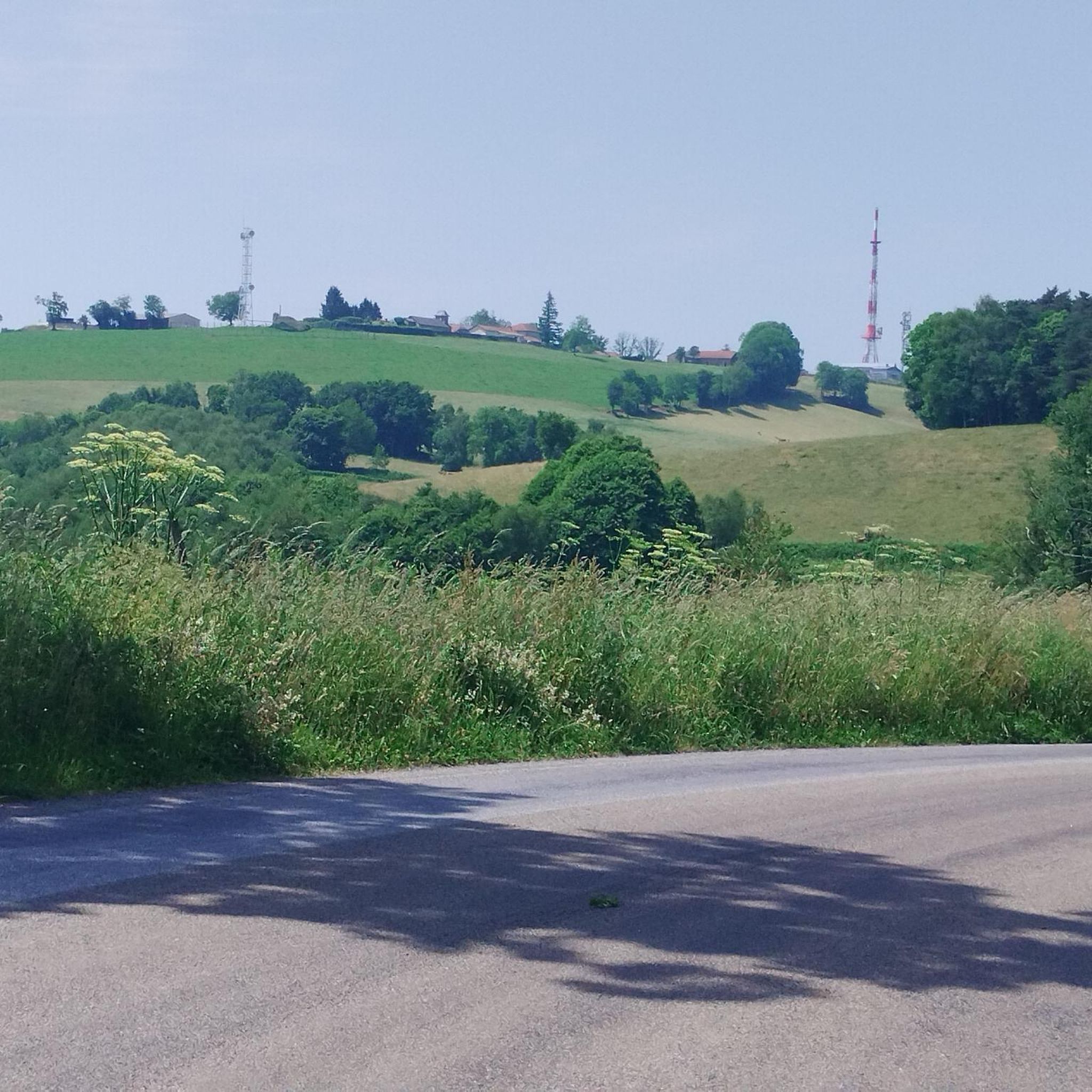
A steep climb, great views of the landscape, and lots of cell towers.
0
0
Small town with a fantastic panorama. Church, castle, and river.
0
0
Small, bustling town. Lively center, beautiful view of the castle.
1
0
One of many beautiful views of the reservoir.
0
0
Nice campsite by the river, in town, yet quiet. Beautiful pitches, clean restrooms. Small pool, small bar. Nice service; they brought me a table and chair.👍⛺
3
0
small road, along the water, sometimes with rocks, some car traffic
2
0
Frequently Asked Questions
How many touring cycling routes are available around Saint-Saury?
There are over 70 touring cycling routes around Saint-Saury. These routes cater to various skill levels, with 3 easy, 30 moderate, and 37 difficult options.
What kind of terrain can I expect on touring cycling routes in Saint-Saury?
The region around Saint-Saury features preserved landscapes with moderately undulating terrain. You'll encounter a mix of granite and schist land, offering diverse cycling experiences without overly strenuous climbs. Elevations range from 574 to 761 meters, providing varied vistas.
Are there any family-friendly touring cycling routes in Saint-Saury?
Yes, Saint-Saury offers 3 easy touring cycling routes that are suitable for families or those seeking a more relaxed ride. These routes allow you to enjoy the scenic, preserved landscapes at a comfortable pace.
What are some popular circular touring cycling routes in the area?
Many routes around Saint-Saury are designed as loops. A popular moderate option is the Lake Tolerme – Almost a panorama loop from Sénaillac-Latronquière, which is 23.6 km long and takes about 1 hour 32 minutes. For a more challenging ride, consider the D33 to Glenat – Castle view La Roquebrou loop from Le Rouget.
What notable landmarks or attractions can I see along the touring cycling routes?
The routes often pass by or near several points of interest. You might encounter the historic Château de Laroquebrou, or enjoy views of the Lake St-Étienne-Cantalès. The region also features the impressive Himalayan suspension bridge at Lake Cantalès, which connects two beaches.
Are there any routes that offer views of lakes or water bodies?
Absolutely. The region is known for its proximity to lakes like Lac de Saint-Étienne-Cantalès and Lac du Tolerme. The Lake Tolerme – Almost a panorama loop from Sénaillac-Latronquière specifically leads through the area around Lake Tolerme, offering beautiful waterside scenery.
What do other touring cyclists say about the routes in Saint-Saury?
The touring cycling routes in Saint-Saury are highly rated by the komoot community, with an average score of 4.3 stars from over 30 reviews. Cyclists often praise the preserved landscapes, the varied terrain, and the opportunity to explore rural areas and natural features like lakes.
Are there any challenging touring cycling routes for experienced riders?
Yes, Saint-Saury offers 37 difficult touring cycling routes for experienced riders. An example is the Puech de la Font loop from Sénaillac-Latronquière, a 34.5 km path that navigates through the region's hilly terrain and rural landscapes.
Can I find routes that pass through historical sites?
Yes, the area around Saint-Saury is rich in history. While cycling, you might pass by sites like the Gothic Chapelle d'Escalmels or the Romanesque Saint-Séverin Church. The Steep descent from Lacam – Church in Lacam loop from Sénaillac-Latronquière is one such route that includes a church in Lacam.
What is the longest touring cycling route available?
One of the longer and more challenging routes is the Maurs, the Nice of the Cantal – Moulin d'Entraygues loop from Le Rouget. This difficult route spans approximately 66.9 km, offering an extensive exploration of the region's diverse landscapes.
What is the average altitude of the cycling routes in Saint-Saury?
The average altitude of Saint-Saury is 662 meters, with elevations on the routes ranging from 574 to 761 meters. This provides a varied cycling experience with moderate ascents and descents across the region's undulating terrain.
Most popular attractions around Saint-Saury

Get inspired with the komoot mobile app


Explore more
Browse the best Cycling routes in other regions.
