The best running trails around Saint-Saury
5.0
(2)
468
runners
52
runs
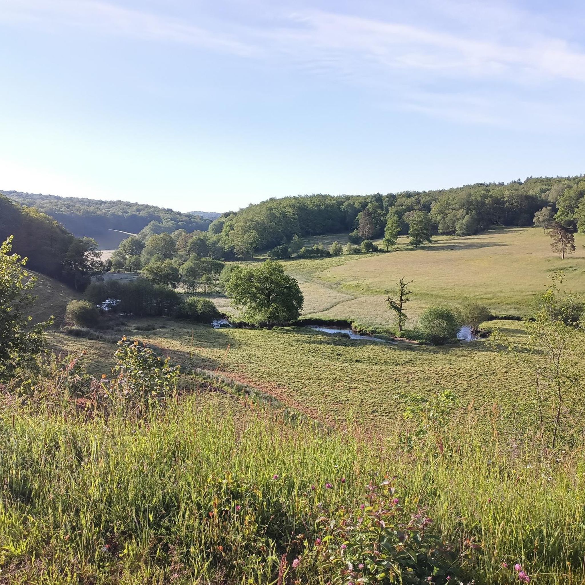
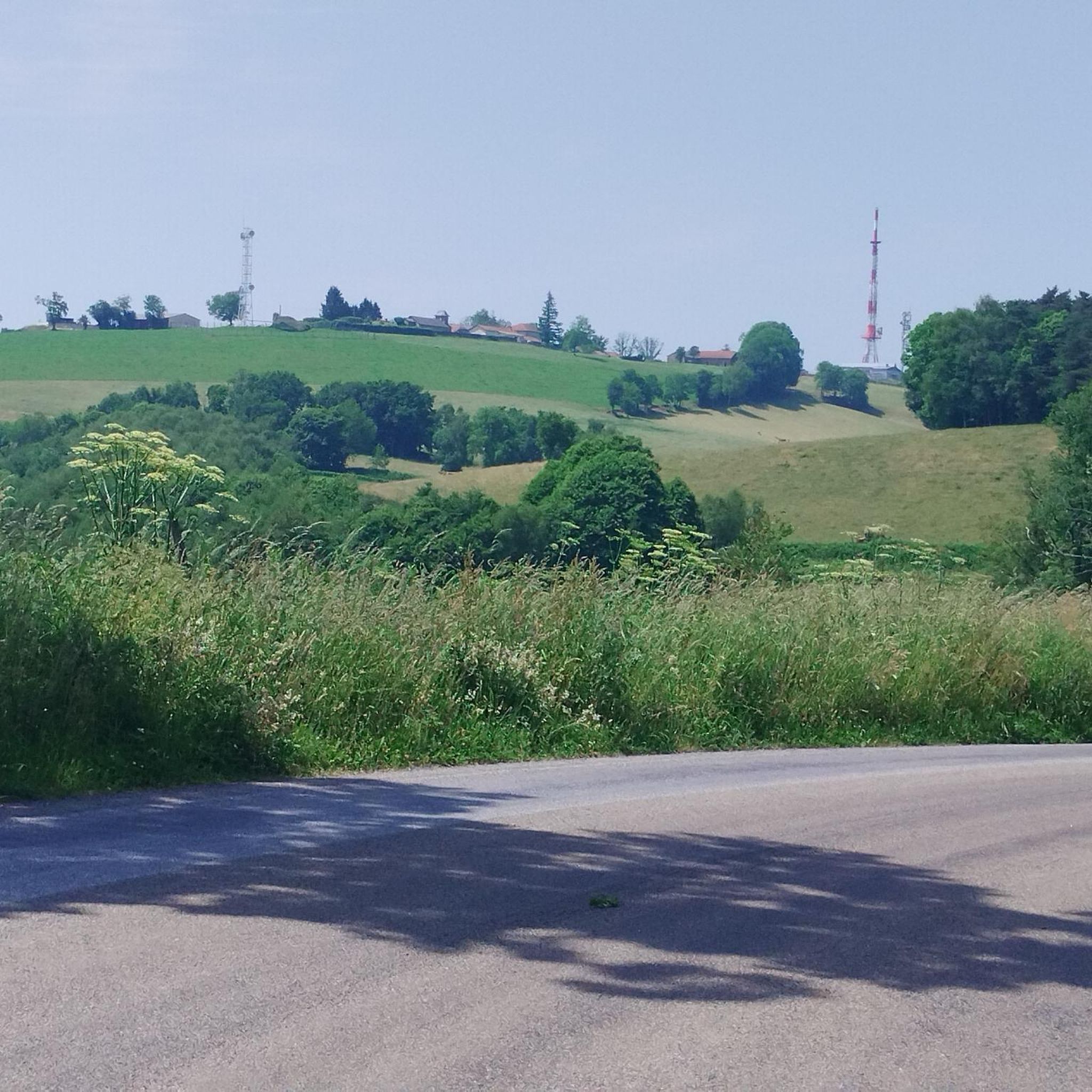
Jogging routes around Saint-Saury traverse a region characterized by gently undulating landscapes and preserved natural spaces. The terrain offers a mix of inclines and declines, providing varied experiences for runners. Features like the historic Roc Rôti trail and local lakes provide diverse settings for running. The area's average altitude of 662 meters, ranging from 574 to 761 meters, contributes to varied elevation for training.
Best jogging routes around Saint-Saury
- The most popular jogging route is Running loop from Le Rouget…
Last updated: June 29, 2026
19
runners
8.64km
00:57
90m
90m
Moderate run. Good fitness required. Mostly paved surfaces. Suitable for all skill levels.
18
runners
8.45km
00:57
90m
90m
Moderate run. Good fitness required. Mostly paved surfaces. Suitable for all skill levels.

Sign up for free
12
runners
10.4km
01:15
170m
170m
Moderate run. Good fitness required. Mostly paved surfaces. Suitable for all skill levels.
12
runners
9.07km
01:02
120m
120m
Moderate run. Good fitness required. Mostly paved surfaces. Suitable for all skill levels.
9
runners
14.9km
01:48
260m
260m
Moderate run. Good fitness required. Mostly paved surfaces. Suitable for all skill levels.
Get access to more routes and recommendations from other explorers.
Sign up for free
Already have an account?
Our route recommendations are based on thousands of hikes, rides, and runs completed by other people on komoot.
Start today with a free account
Your next adventure awaits.
Login or Signup


Tips from the Community


With a restaurant and public restrooms nearby, this picnic area is the perfect place to stop or have lunch during your hike.
3
0
This lake is the largest artificial lake in the Lot department. With this varied plan, the shores of this lake make for an excellent hiking trail.
3
0

Body of water with many facilities: playground for children, picnic tables, barbecues. A 1.7 km trail circles the lake.
1
0
Frequently Asked Questions
How many running routes are available around Saint-Saury?
There are nearly 50 dedicated running routes around Saint-Saury, offering a wide range of options for different fitness levels. Most of these, about 37, are considered moderate, with a few easy and difficult options also available.
What kind of terrain can I expect on the jogging trails in Saint-Saury?
The region around Saint-Saury is characterized by gently undulating landscapes, providing a good mix of inclines and declines. You'll find varied terrain, from paths around local lakes like the one featured in the Moulin du Teil lake loop from Le Rouget, to more hilly routes with elevation gains, such as the Running loop from Parlan.
Are there any circular running routes in Saint-Saury?
Yes, many of the running routes in Saint-Saury are circular, allowing you to start and finish at the same point. Examples include the popular Running loop from Le Rouget and the longer Étang de Maurian loop from Parlan, which offers a substantial 14.9 km run.
What are some scenic viewpoints or natural features I can see while running?
Saint-Saury's preserved landscapes offer many scenic spots. You can enjoy waterside views on routes around local lakes, or explore areas with expansive natural spaces. While not directly on a running route, the region is close to the Viewpoint over Lake St-Étienne-Cantalès, which offers stunning vistas.
Are there any historical landmarks or attractions along the running routes?
While specific running routes don't always pass directly by major landmarks, the region is rich in history. You might encounter cultural sites like the Chapelle d'Escalmels or the Église Saint-Séverin. The historic Roc Rôti, a significant megalithic site, also has a 6 km trail associated with it, offering a blend of nature and local history.
What do other runners say about the trails in Saint-Saury?
The running routes in Saint-Saury are highly rated by the komoot community, with an average score of 4.5 stars from 8 reviews. Over 600 runners have explored the varied terrain, often praising the gently undulating landscapes and preserved natural spaces that make for an immersive outdoor experience.
Are there any easy running routes suitable for beginners or a relaxed jog?
Yes, there are a few easy running routes available, perfect for beginners or those looking for a less strenuous jog. While most routes are moderate, these easier options still allow you to enjoy the beautiful Saint-Saury countryside without significant elevation challenges.
Can I find longer running trails for endurance training?
Absolutely. For longer runs, consider routes like the Étang de Maurian loop from Parlan, which spans nearly 15 km with a notable elevation gain of 259 meters. Another good option is the Puech de la Font – Puech de Labroussié loop from Latronquière, covering almost 10 km with 172 meters of ascent.
What is the average elevation of the running trails in Saint-Saury?
The average altitude of Saint-Saury is 662 meters, with the terrain ranging from 574 meters to 761 meters. This means running routes often feature varied elevation, providing a good cardiovascular workout with a mix of climbs and descents, rather than consistently flat paths.
Are there any specific trails that offer lakeside views?
Yes, the region's 'Plan d'Eau' (lake) areas often feature paths with scenic waterside views. A prime example is the Moulin du Teil lake loop from Le Rouget, which offers picturesque vistas around the lake, making for a very pleasant run.
What makes Saint-Saury a good destination for outdoor running?
Saint-Saury is ideal for outdoor running due to its preserved landscapes and large natural spaces. The gently undulating terrain provides diverse experiences, from moderate climbs to scenic lakeside paths. It offers a tranquil setting away from urban congestion, allowing runners to immerse themselves in nature and local history.
Most popular attractions around Saint-Saury

Get inspired with the komoot mobile app


Explore more
Browse the best Running Trails & Routes in other regions.
