The best mountain hikes around Letia
4.5
(32)
182
hikers
6
hikes
Mountaineering routes around Letia are characterized by challenging mountain terrain, including high passes, alpine lakes, and rocky ascents. The region features diverse landscapes, from river valleys to exposed ridges, offering a classic mountaineering experience. These routes often involve significant elevation gain and require good physical condition.
Best mountaineering routes around Letia
- The most popular mountaineering route is Bergeries de Radule – Natural Pool of the Golo River loop from Col de Vergio, a 8.0 miles (12.8 km) trail that…
Last updated: June 28, 2026
4.9
(17)
97
hikers
13.0km
05:30
710m
710m
Hard mountaineering route. Very good fitness required. Sure-footedness, sturdy shoes and alpine experience required.
4.7
(7)
31
hikers
10.3km
05:14
740m
740m
Hard mountaineering route. Very good fitness required. Sure-footedness, sturdy shoes and alpine experience required.

Sign up for free
5.0
(5)
23
hikers
15.6km
06:48
860m
860m
Hard mountaineering route. Very good fitness required. Sure-footedness, sturdy shoes and alpine experience required.
3.0
(1)
18
hikers
4.41km
02:16
340m
340m
Hard mountaineering route. Good fitness required. Sure-footedness, sturdy shoes and alpine experience required.
6
hikers
19.5km
07:44
820m
820m
Hard mountaineering route. Very good fitness required. Mostly accessible paths. Sure-footedness required.
Our route recommendations are based on thousands of hikes, rides, and runs completed by other people on komoot.
Start today with a free account
Your next adventure awaits.
Login or Signup
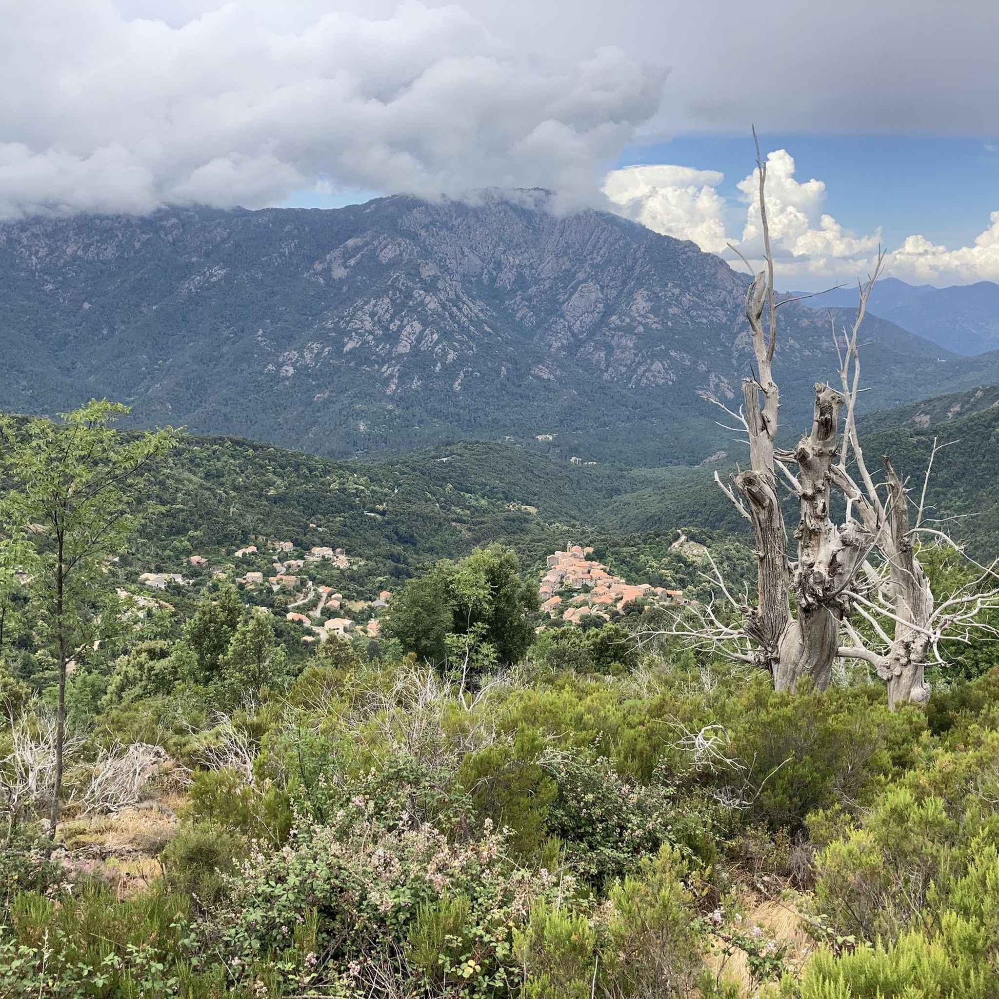
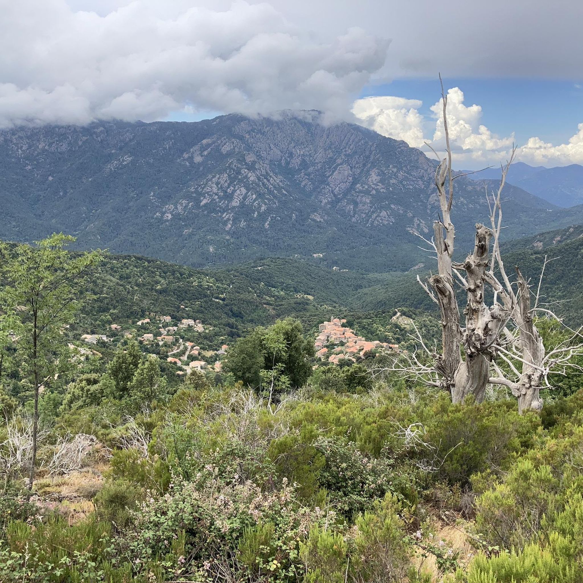
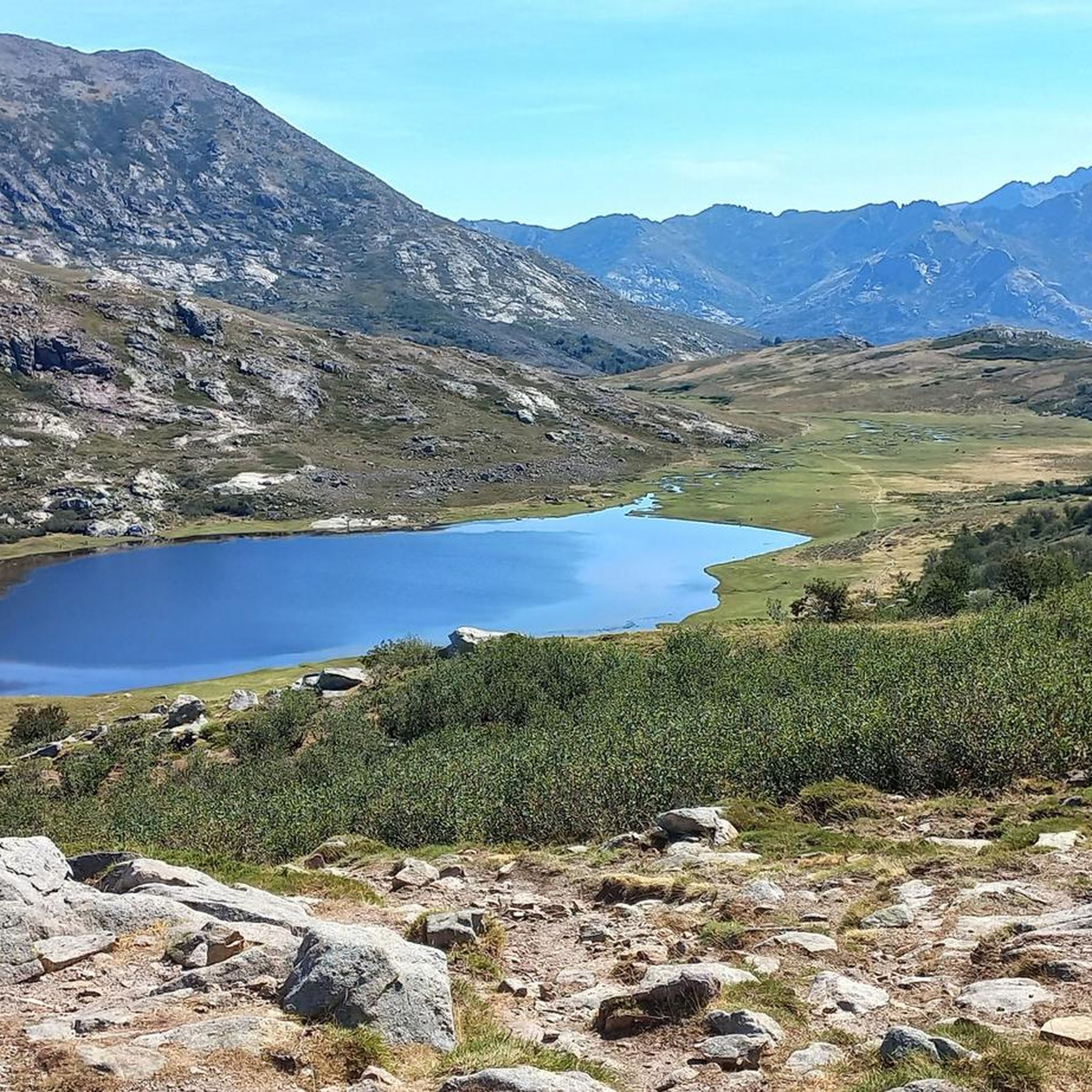
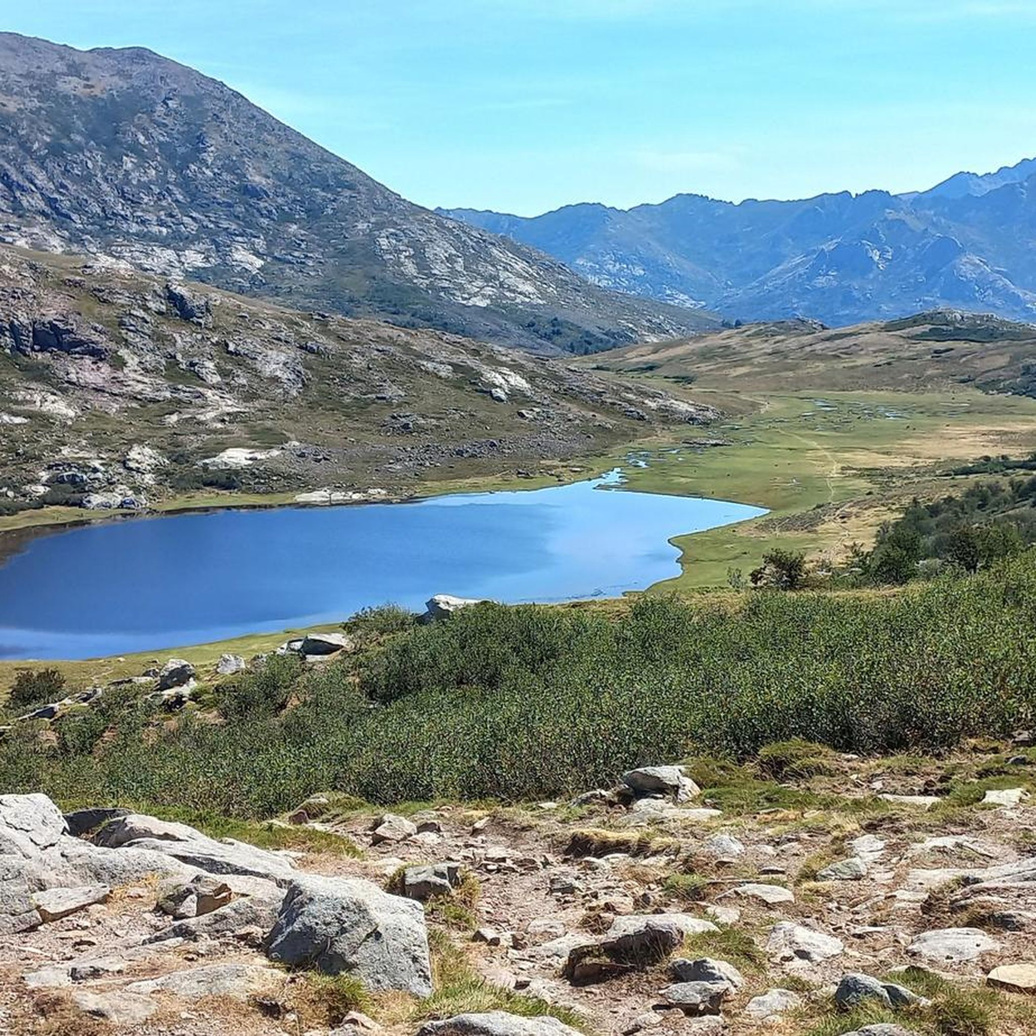
Tips from the Community

super beautiful mountain tour. is worth a visit.
1
0
super pretty mountain tour. is worth a visit.
1
0
super pretty mountain tour. is worth a visit.
0
0
super pretty mountain tour. worth a visit.
1
0
super pretty mountain tour. is worth a visit.
1
0
super pretty mountain tour. is worth a visit.
1
0
super pretty mountain tour. is worth a visit.
1
0

Crystal clear, cold and deep!
0
0
Frequently Asked Questions
What kind of mountaineering routes can I expect around Letia?
Mountaineering routes around Letia are characterized by challenging mountain terrain, including high passes, alpine lakes, and rocky ascents. The region features diverse landscapes, from river valleys to exposed ridges, offering a classic mountaineering experience. These routes often involve significant elevation gain and require good physical condition.
How many mountaineering routes are available in Letia?
There are 9 mountaineering routes detailed in this guide for the Letia region, all of which are considered difficult and suitable for experienced mountaineers.
Are there any circular mountaineering routes in Letia?
Yes, several routes in Letia are circular. For example, you can explore the Bergeries de Radule – Natural Pool of the Golo River loop from Col de Vergio, an 8.0-mile trail featuring a natural pool and scenic mountain pastures. Another option is the Lac de Nino – Drinking fountain with shrine loop from Poppaghja, which leads to the picturesque Lac de Nino.
What are some notable natural features or landmarks I might encounter on these routes?
Mountaineering routes in Letia often lead to stunning natural features. You can discover the picturesque Lac de Nino, known for its high-altitude meadows, or the Natural Pool of the Golo River. The area also features challenging passes like Brèche de Capitello and Soglia Pass, offering expansive views. For specific highlights, consider visiting the Radule waterfall or the Aïtone Natural Pools.
Are there any routes that involve unique climbing features like chains or stairs?
Yes, the route Climbing by stairs and chains – Lake Capitello loop from Lac de Melo offers a distinctive experience, incorporating stairs and chains as part of its challenging ascent to Lake Capitello.
What do other mountaineers say about the routes in Letia?
The mountaineering routes in Letia are highly regarded by the komoot community, holding an average rating of 4.9 stars from over 60 reviews. More than 350 mountaineers have used komoot to explore the varied and challenging terrain, often praising the stunning views and the classic mountaineering experience.
Are there any huts or refuges along the mountaineering trails in Letia?
Yes, there are several huts and refuges that can be found near the mountaineering routes in Letia. Notable options include the Radule Shepherd Huts, Manganu Refuge, and Ciottulu di i Mori Refuge. These can provide essential shelter or rest points during your treks.
What is the longest mountaineering route in this guide for Letia?
The longest route featured in this guide is the Lac de Nino – Tree shaped by the wind loop from Poppaghja, covering a distance of approximately 9.8 miles (15.8 km).
Are there any routes that offer views of waterfalls?
Yes, some routes provide access to beautiful waterfalls. For instance, the Bergeries de Radule – Natural Pool of the Golo River loop from Col de Vergio is near the Radule waterfall. You might also find the View of the Restonica waterfall interesting.
What kind of elevation gain should I expect on these routes?
The mountaineering routes in Letia involve significant elevation gain. For example, the Lac de Nino – Tree shaped by the wind loop from Poppaghja has an elevation gain of over 850 meters, while the Brèche de Capitello – Soglia Pass loop from Bergerie de Grotelle features an ascent of over 750 meters.
Is mountaineering in Letia suitable for beginners or families?
The routes in Letia are primarily for experienced mountaineers seeking difficult challenges. All 9 routes listed in this guide are rated as 'difficult' and involve significant elevation gain and challenging terrain, making them less suitable for beginners or young families.
Most popular attractions around Letia

Get inspired with the komoot mobile app


Explore more
Browse the best Mountain Hikes & Routes in other regions.
