The best running trails around Letia
4.1
(5)
454
runners
21
runs
Jogging routes around Letia offer diverse terrain within a natural regional park, featuring lakes and mountain passes. The routes often include significant elevation changes, making them suitable for runners seeking a challenge. The landscape is characterized by its mountainous nature, with several passes and cols to traverse. This region provides a variety of running experiences across its varied natural environment.
Best jogging routes around Letia
- The most popular jogging route is Lac de Nino – loop – running in the…
Last updated: June 28, 2026
5.0
(1)
75
runners
11.0km
02:26
660m
660m
Hard run. Very good fitness required. Sure-footedness, sturdy shoes and alpine experience required.
5.0
(1)
69
runners
18.0km
02:35
660m
650m
Hard run. Very good fitness required. Sure-footedness, sturdy shoes and alpine experience required.

Sign up for free
55
runners
20.9km
03:30
820m
820m
Hard run. Very good fitness required. Sure-footedness, sturdy shoes and alpine experience required.
31
runners
6.44km
00:59
350m
350m
Hard run. Very good fitness required. Mostly paved surfaces. Suitable for all skill levels.
9
runners
12.8km
02:00
760m
750m
Hard run. Very good fitness required. Mostly paved surfaces. Suitable for all skill levels.
Get access to more routes and recommendations from other explorers.
Sign up for free
Already have an account?
Our route recommendations are based on thousands of hikes, rides, and runs completed by other people on komoot.
Start today with a free account
Your next adventure awaits.
Login or Signup

Tips from the Community


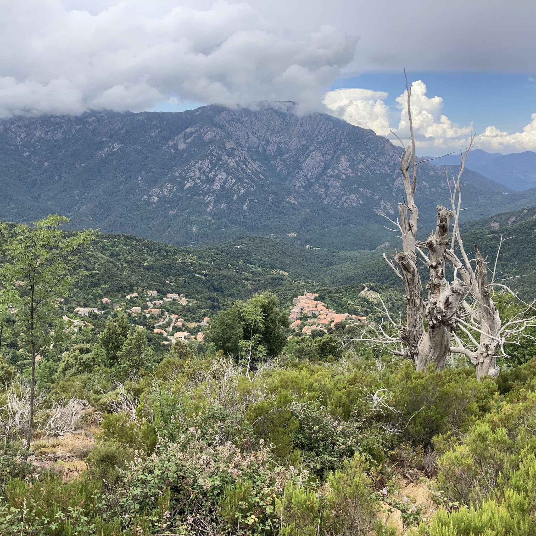
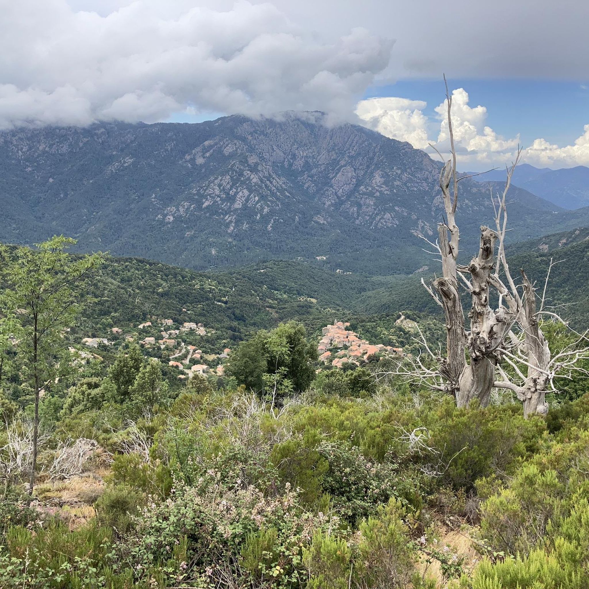
The Vergio Pass culminates at 1,467 meters above sea level. It connects Haute-Corse and Corse-du-Sud, as well as the two sides of the island, from the interior. It is one of the meeting points between the GR 20 and the GT 20.
1
1

Here is a central water source in the middle of the forest. The path goes by and you can't miss it, if your feet get wet you're there. 😉
1
0

The summit of Capu di Vergio rises to 1,598 meters above the pass of the same name. It offers one of the spectacular views of the surrounding area.
0
0


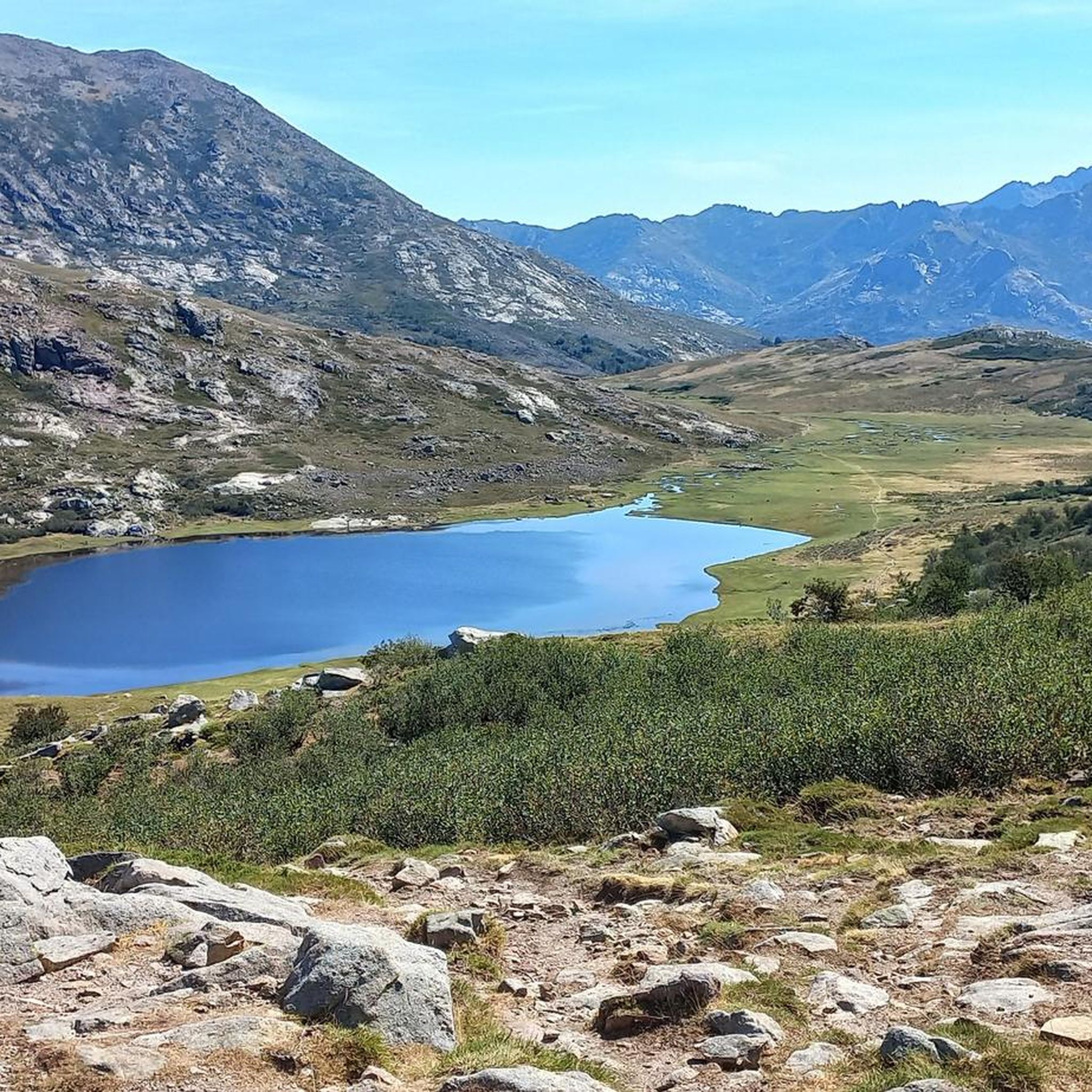
Beautiful lake surrounded by pastures and meadows, which can also be circumnavigated on a hike
0
0
Frequently Asked Questions
How many running routes are available around Letia?
There are over 20 running routes available for jogging around Letia, offering a variety of experiences within the natural regional park setting.
Are there any easy running trails for beginners in Letia?
Letia's running routes are generally quite challenging due to the mountainous terrain and significant elevation changes. While there are no routes classified as 'easy', there are 6 routes considered 'moderate' difficulty. Most of the 22 available routes are classified as 'difficult'.
What kind of terrain can I expect on jogging routes in Letia?
The terrain around Letia is characterized by its mountainous nature, featuring diverse landscapes within a natural regional park. You can expect routes that traverse mountain passes and cols, often including significant elevation changes, and some trails lead around beautiful lakes.
Are there any long-distance running options in Letia?
Yes, Letia offers several longer running routes for those seeking a challenge. For example, the Lake Nino – Bocca a Reta loop from Col de Vergio is a difficult 31.2 km (19.4 miles) trail with over 1000 meters of elevation gain. Another option is the Castel de Vergio – Lac de Nino loop from Col de Vergio, which covers 20.6 km (12.8 miles).
Can I find circular running routes in Letia?
Many of the running routes in Letia are designed as loops, allowing you to start and finish at the same point. Popular circular options include the Lac de Nino – loop – running in the Parc naturel régional de Corse and the Vergio Pass – Capu di Vergio loop from Col de Vergio.
What are some scenic highlights or attractions I can see while running in Letia?
The running routes in Letia often pass by stunning natural attractions. You can encounter beautiful lakes such as Lake Nino, Lake Melo, and Lac de Creno. Additionally, routes may take you through notable mountain passes like Vergio Pass and Bocca a Reta, and even past the Radule waterfall.
What do other runners think about the trails in Letia?
The running trails in Letia are highly regarded by the komoot community, with an average rating of 4.1 stars from over 5 reviews. Runners often praise the challenging nature of the routes and the stunning natural park scenery.
Are there any routes that feature lakes?
Yes, several running routes in Letia incorporate lakes into their paths. The Lac de Nino – loop – running in the Parc naturel régional de Corse is a prime example, offering substantial elevation gain around the picturesque Lake Nino. The Castel de Vergio – Lac de Nino loop from Col de Vergio also leads around a lake.
What is the shortest running route available in Letia?
The shortest running route listed is the Creno Spring loop from Soccia, which is 6.4 km (4 miles) long. Despite its shorter distance, it is still classified as a difficult route due to its elevation changes.
How many people have explored Letia's running trails using komoot?
Over 490 runners have used komoot to explore the varied and challenging terrain of Letia's running trails, indicating a popular destination for the running community.
Are there any routes that go through mountain passes?
Absolutely. Letia's mountainous landscape means many routes traverse significant mountain passes. The Vergio Pass – Capu di Vergio loop from Col de Vergio is a notable example, offering challenging ascents and descents through mountainous terrain and near the Vergio Pass.
Most popular attractions around Letia

Get inspired with the komoot mobile app


Explore more
Browse the best Running Trails & Routes in other regions.
