The best running trails in Nuoro
4.3
(479)
11,702
runners
577
runs
Jogging in Nuoro offers diverse terrain, from the granite formations of Monte Ortobene to coastal paths and lush forests. The region is characterized by its striking natural landscapes, including the rugged Supramonte and accessible hills. Marked paths and trails provide panoramic views and varied environments for running. This area provides a wide network of trails suitable for different fitness levels.
Best jogging routes in Nuoro
- The most popular jogging route is Cala Goloritzé Trail, a 4.6 miles (7.3 km)…
Last updated: July 7, 2026
5.0
(4)
134
runners
7.34km
01:26
480m
480m
Hard run. Very good fitness required. Sure-footedness, sturdy shoes and alpine experience required.
3.0
(1)
24
runners
13.5km
01:29
40m
40m
Moderate run. Good fitness required. Mostly paved surfaces. Suitable for all skill levels.

Sign up for free
13.0km
02:31
830m
830m
Hard run. Very good fitness required. Sure-footedness, sturdy shoes and alpine experience required.
7
runners
18.1km
02:37
690m
690m
Hard run. Very good fitness required. Sure-footedness, sturdy shoes and alpine experience required.
5.0
(1)
11
runners
15.4km
02:08
560m
560m
Hard run. Very good fitness required. Mostly accessible paths. Some sure footedness required.
4
runners
8.29km
01:28
410m
410m
Hard run. Very good fitness required. Sure-footedness, sturdy shoes and alpine experience required.
13.8km
03:39
1,090m
1,090m
Hard run. Very good fitness required. Sure-footedness, sturdy shoes and alpine experience required.
5.0
(1)
9
runners
Moderate run. Good fitness required. Mostly accessible paths. Some sure footedness required.
2
runners
14.7km
02:23
850m
850m
Hard run. Very good fitness required. Sure-footedness, sturdy shoes and alpine experience required.
2
runners
14.7km
02:01
530m
530m
Hard run. Very good fitness required. Sure-footedness, sturdy shoes and alpine experience required.
Get access to more routes and recommendations from other explorers.
Sign up for free
Already have an account?
Our route recommendations are based on thousands of hikes, rides, and runs completed by other people on komoot.
Start today with a free account
Your next adventure awaits.
Login or Signup
Popular around Nuoro
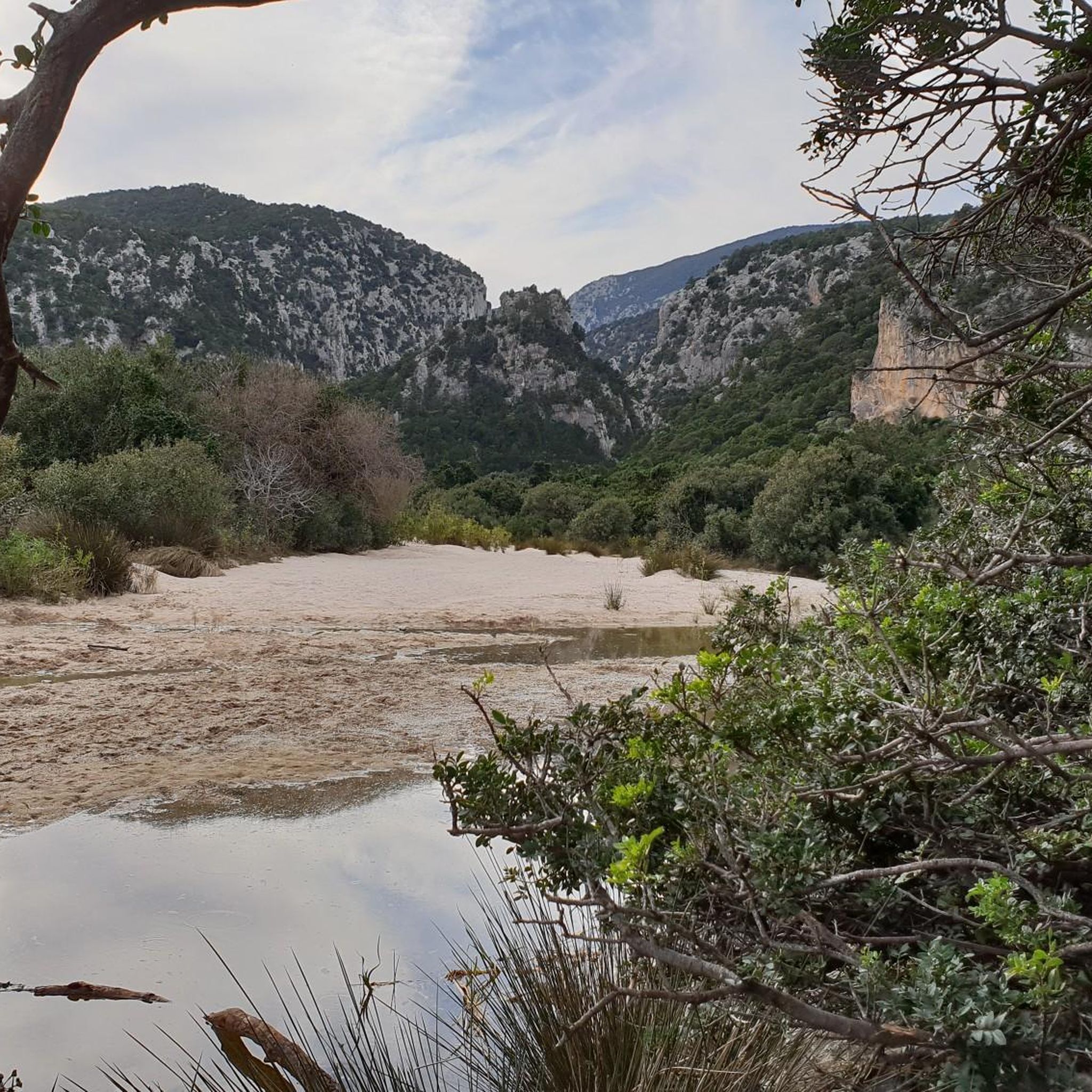
Running Trails around Gennargentu National Park
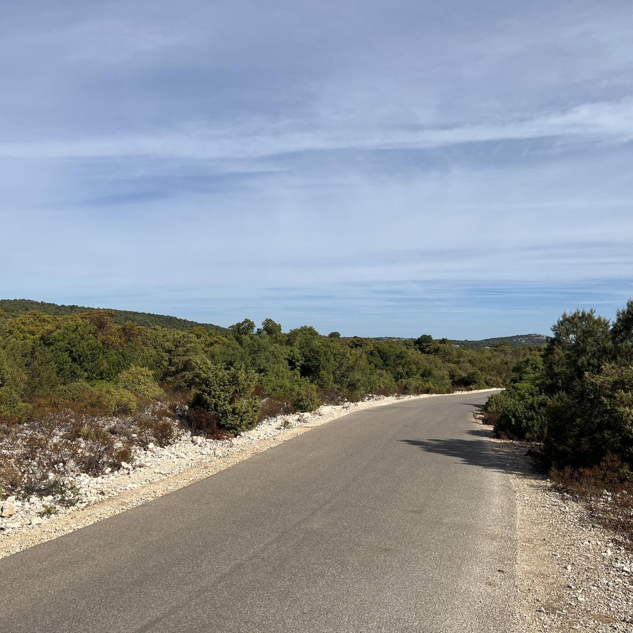
Running Trails around Baunei
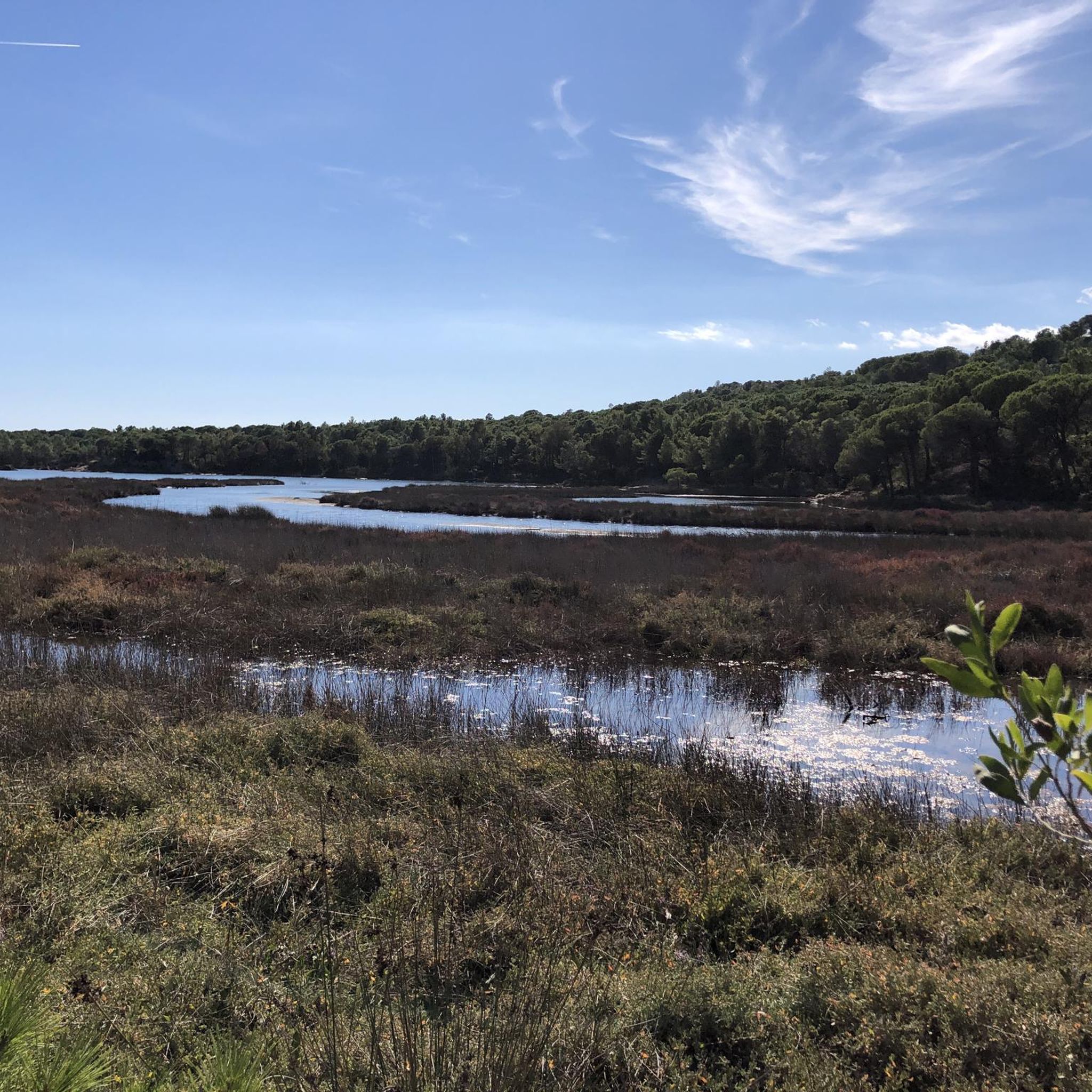
Running Trails around Orosei
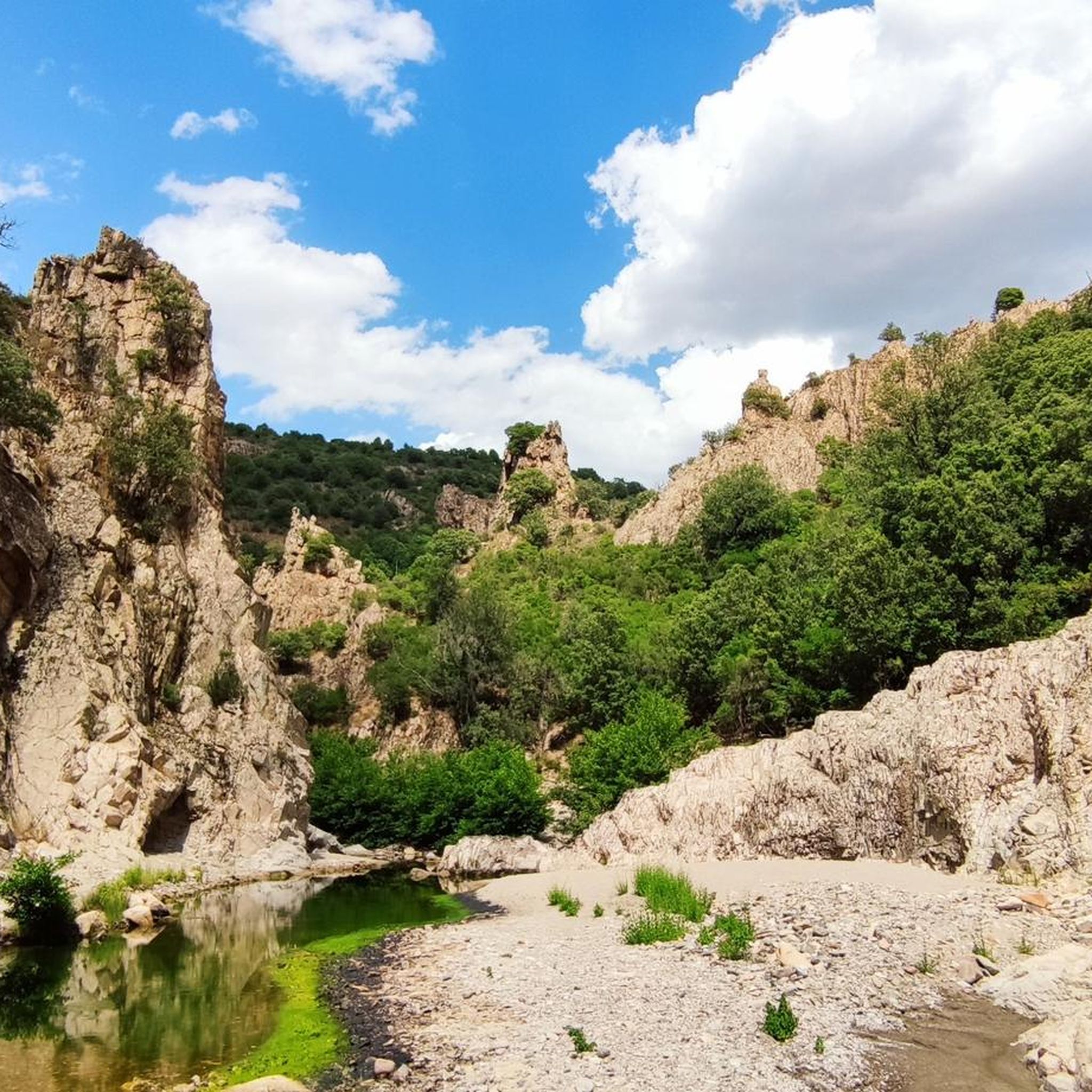
Running Trails in Monti Del Gennargentu
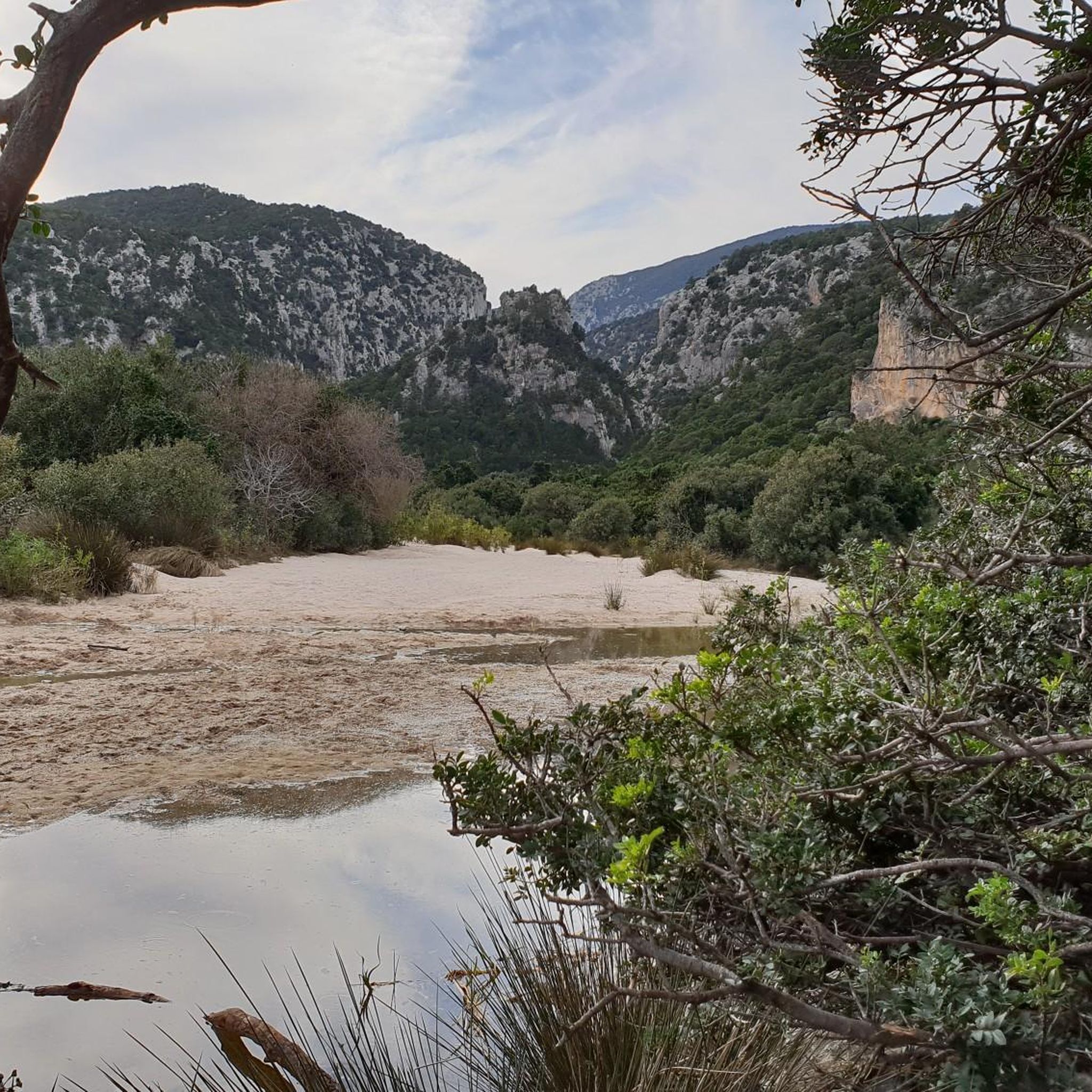
Running Trails around Durgali/Dorgali
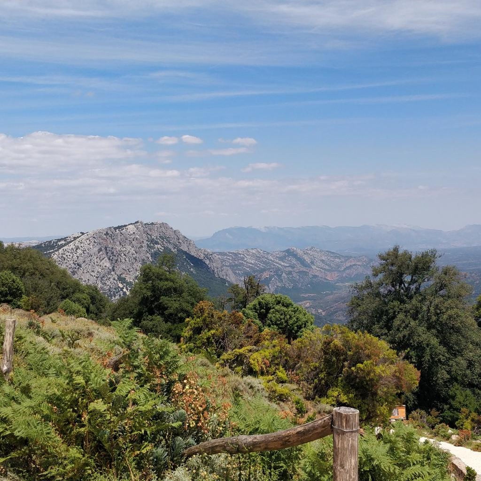
Running Trails around Orthullè/Urzulei
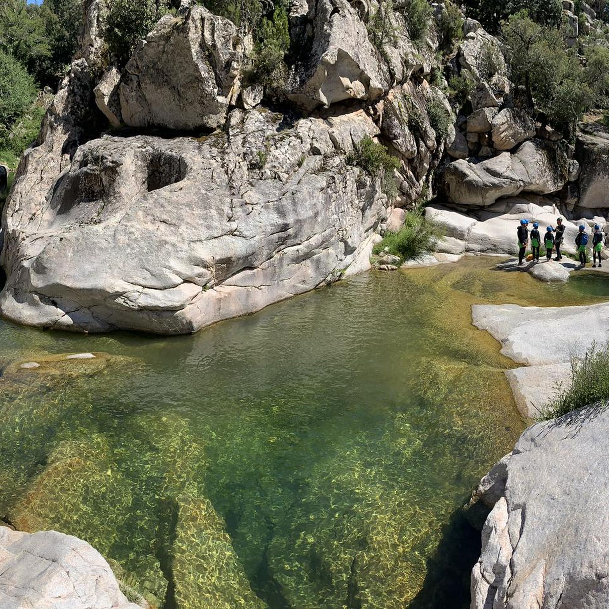
Running Trails around Biddamanna Istrisàili/Villagrande Strisaili
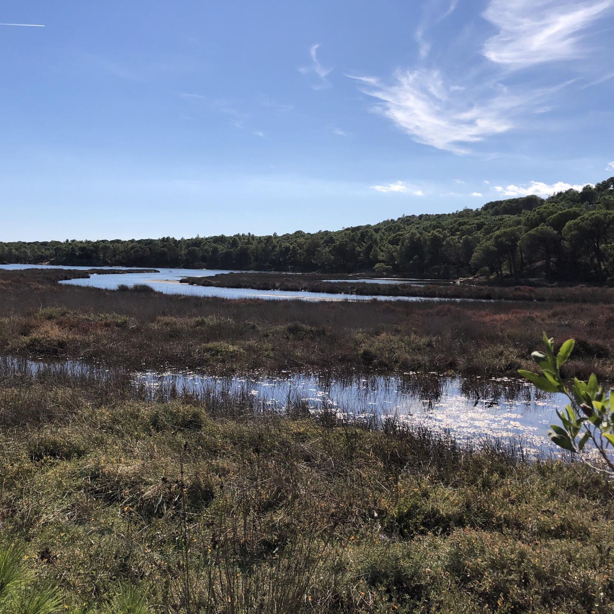
Running Trails in Cantiere Forestale Biderosa
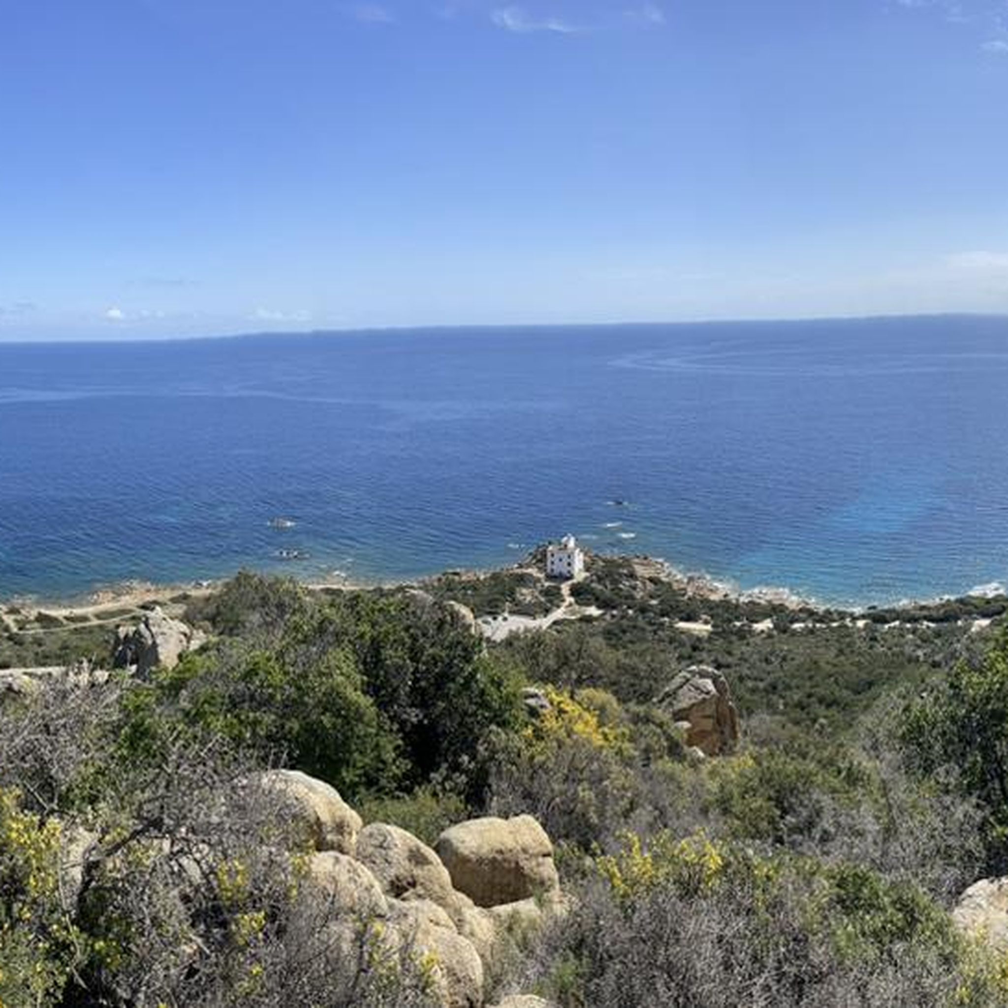
Running Trails around Thiniscole/Siniscola
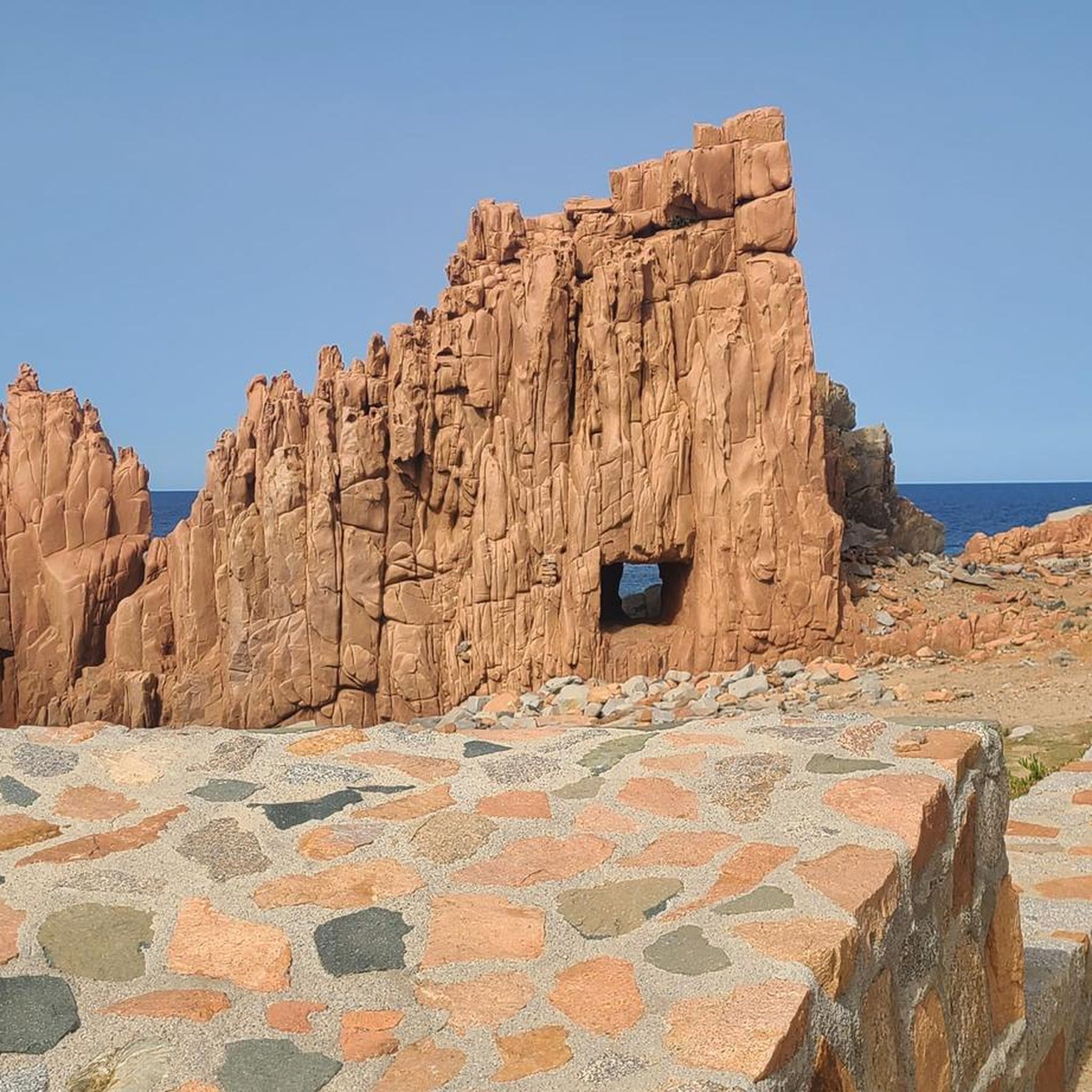
Running Trails around Tortolì
Other adventures in Nuoro


Tips from the Community

The Monti del Gennargentu form the highest mountain range in Sardinia and the "roof of the island". It is located in the heart of Barbagia. The rugged, rocky mountain world is home to Punta La Marmora (1,834 m), the highest peak in Sardinia, as well as historical Nuragic villages, and offers fantastic hiking opportunities.
1
0
The beach is located at the estuary of the Codula di Luna stream, on the border of the municipalities of Dorgali and Baunei. No road leads to the beach and it is only accessible from land via footpaths. The approach from Cala Fuili takes about two hours. Excursion boats run from Cala Gonone to the beach.
1
0

Osala Beach Quiet natural beach with clear water – perfect for a break. Stagno di Su Petrosu Peaceful lagoon with birdlife – ideal to relax.
0
0

Cala Portu Pedrosu is a base for the Selvaggio Blu. Here you can enjoy a break or camp out between stages.
1
0

Great view. Beautiful area.
2
0

A beautiful path there. Sturdy footwear is required, as there are a few small climbs. You should memorize the way back, as it looks completely different from the other side. Not for everyone.
0
0

The German-language television series "Treasures of the World - Heritage of Humanity" – which I highly recommend – dedicates a 15-minute segment to the UNESCO World Heritage Site of the "NURAGHI" in Sardinia and the traditional shepherds' song known there as "Canto a Tenore." The accompanying text for the program states: "Over seven thousand round towers made of stone blocks weighing several tons are scattered throughout Sardinia. Often, only the stumps of these megalithic structures, called nuraghi, remain. The first were built around 1400 BC. Small stones were placed between the massive blocks, a construction method that made the stone towers resistant to collapse." This article (episode 413 of the series) is available in the ARD Mediathek at the following link =>> https://www.ardmediathek.de/video/schaetze-der-welt/sardinien/3sat/Y3JpZDovL3N3ci5kZS8xNTg4MzM5MA
0
0

Very nice walk in the heart of Sardinia Reward at the top with beautiful views. https://maps.suunto.com/move/wivaza/675d6ad5e34f6f4f31c93c4b
1
0
Frequently Asked Questions
How many running routes are available in Nuoro?
Nuoro offers a wide selection of running routes, with over 500 options available on komoot. These routes cater to various fitness levels, from easy jogs to challenging trail runs.
What kind of terrain can I expect on the jogging trails in Nuoro?
The terrain in Nuoro is incredibly diverse, ranging from the ancient granite formations of Monte Ortobene to coastal paths and dense forests. You'll find routes through rugged peaks, karst landscapes in the Supramonte, and lush greenery in areas like the Riserva Naturale di Bidderosa.
Are there any easy or family-friendly running routes in Nuoro?
Yes, Nuoro has over 50 easy running routes perfect for beginners or families. While specific family-friendly routes aren't detailed here, the region's diverse network includes options with minimal elevation gain, such as a 1.4-mile ring tour around Nuoro's city center and pine forests, offering panoramic views.
Can I bring my dog on the running trails in Nuoro?
Many natural areas in Nuoro, including parts of the Parco Nazionale del Gennargentu and the Tepilora, Sant'Anna, and Rio Posada Biosphere Reserve, are generally dog-friendly. However, it's always best to check specific park regulations or route descriptions for any restrictions before heading out with your pet.
Are there any circular running routes in the Nuoro region?
Yes, many routes in Nuoro are designed as circular tours, allowing you to start and finish at the same point. For example, the Osalla Beach of Orosei — Ring tour offers coastal scenery, and Taccu Isàra - Sentiero Italia Loop takes you through varied landscapes.
What natural features or landmarks can I see while jogging in Nuoro?
Nuoro's routes are rich with natural beauty and landmarks. You can encounter dramatic limestone cliffs on the Cala Goloritzé Trail, explore the stunning Gorropu Gorge on the Gorropu Canyon and Punta Cucuttu Loop Trail, or enjoy coastal views at Cala Luna via the Cala Luna — Ring Tour. Many trails also offer panoramic views from elevated points like Monte Ortobene.
Are there challenging running routes for advanced runners in Nuoro?
Absolutely. Nuoro is home to over 160 difficult running routes, many featuring significant elevation gain and rugged terrain. Options like the Bruncu Spina - Punta La Marmora Loop and the Selvaggio Blu Loop: Cala Goloritzé and Cala Mariolu offer substantial climbs and distances, perfect for experienced trail runners.
What do other runners say about the routes in Nuoro?
The running routes in Nuoro are highly regarded by the komoot community, boasting an average rating of 4.3 stars from over 400 reviews. Runners frequently praise the diverse landscapes, the breathtaking views, and the well-maintained trails that offer a unique outdoor experience.
Is Monte Ortobene a good location for running?
Yes, Monte Ortobene, just east of Nuoro, is an excellent spot for running. It features numerous marked paths and trails, offering diverse flora, impressive granite rock formations, and stunning panoramic views of Nuoro, the Oliena mountains, and even the Baronia coastline. It's easily accessible and provides a great escape into nature.
Are there any coastal running options in the Nuoro area?
Yes, the broader Province of Nuoro offers beautiful coastal running opportunities. Routes like the Osalla Beach of Orosei — Ring tour provide scenic coastal paths. The Riserva Naturale di Bidderosa is also known for its stunning beaches and clear waters, offering a serene environment for runs.
How can I access the trailheads, especially regarding parking or public transport?
While specific parking details vary by trailhead, many popular running spots, especially those near towns or natural parks, typically offer designated parking areas. For trails closer to Nuoro city, public transport might be an option, but for more remote routes, a car is generally recommended. Always check route descriptions for specific access information.
What is the best season for running in Nuoro?
Nuoro offers good running conditions for much of the year. Spring and autumn are particularly pleasant, with mild temperatures and vibrant landscapes. Summer can be hot, especially at midday, so early morning or late afternoon runs are advisable. Winter offers cooler temperatures, making it suitable for running, especially on lower elevation trails.
Are there any routes that lead to beautiful beaches?
Absolutely! The Nuoro region is famous for its stunning coastline. The Cala Goloritzé Trail leads to a famous beach with dramatic limestone cliffs, and the Cala Luna — Ring Tour takes you to another iconic beach. These routes combine challenging runs with rewarding coastal views and opportunities to relax by the sea.
Most popular routes in Nuoro
Most popular attractions in Nuoro

Get inspired with the komoot mobile app


Didn’t find what you were looking for?
Check out more Running Trails & Routes throughout Nuoro below and find the perfect route in your destination.
Explore more
Browse the best Running Trails & Routes in other regions.
