The best running trails around Ayzac-Ost
4.6
(73)
4,331
runners
26
runs
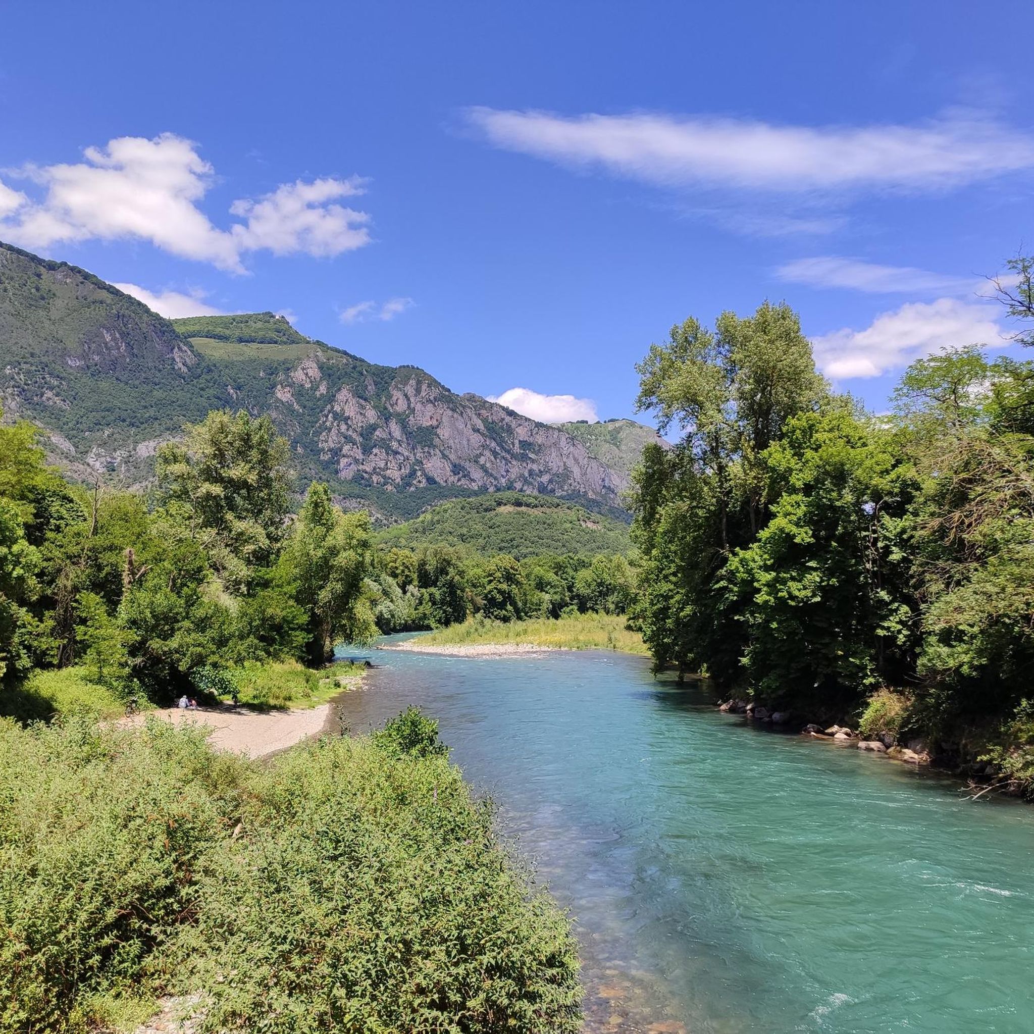
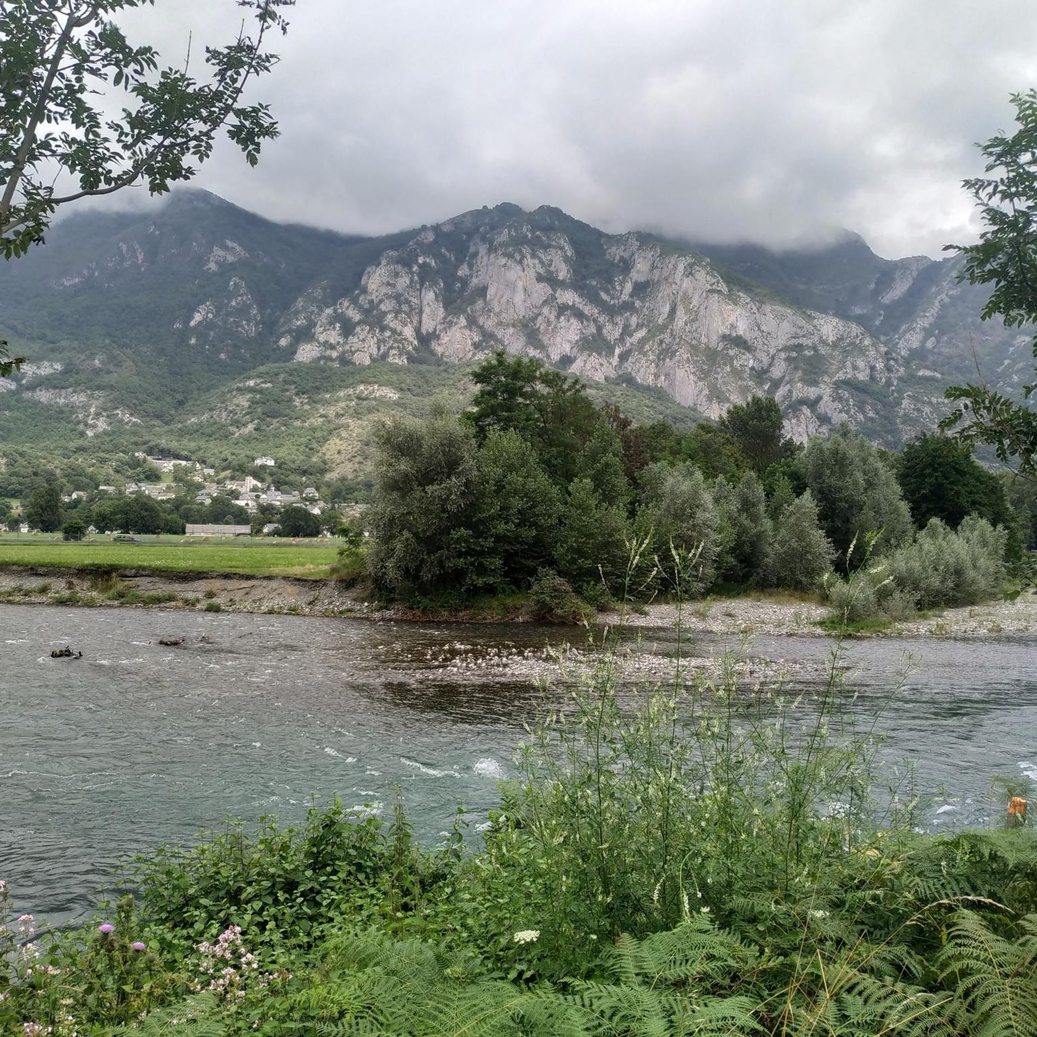
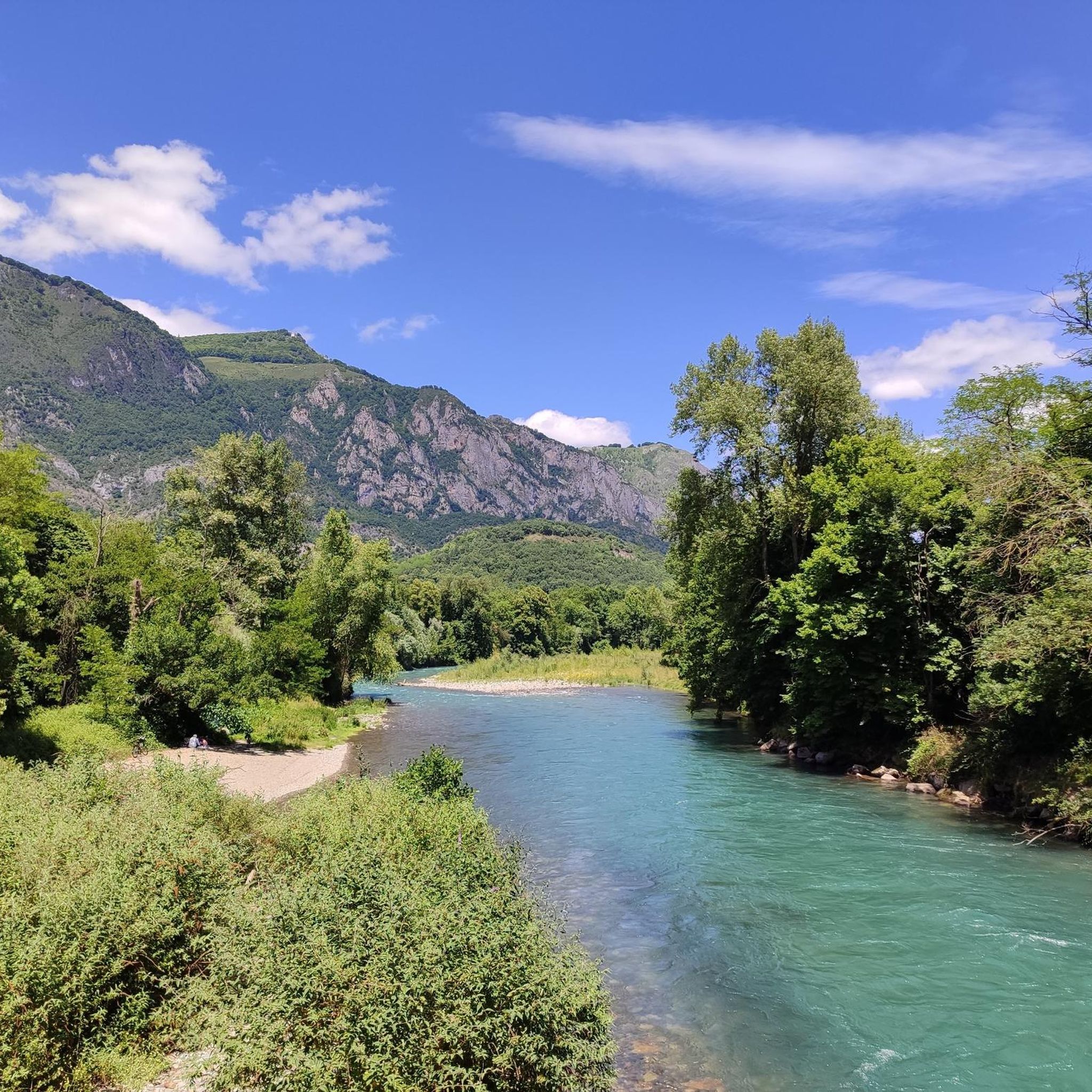
Jogging around Ayzac-Ost offers routes through the valleys and foothills of the region, characterized by the Gave de Pau river and surrounding elevated terrain. The landscape features a mix of open areas, riverbanks, and paths leading to higher ground. Routes often connect natural features with local town centers, providing varied running experiences.
Best jogging routes around Ayzac-Ost
- The most popular jogging route is Mount de Gez – Argelès-Gazost Town Square loop from Argelès-Gazost, a 9.5 miles (15.3 km) trail…
Last updated: July 4, 2026
5.0
(1)
364
runners
18.8km
03:10
1,080m
1,080m
Hard run. Very good fitness required. Sure-footedness, sturdy shoes and alpine experience required.
4.8
(5)
220
runners
15.4km
02:14
730m
730m
Hard run. Very good fitness required. Sure-footedness, sturdy shoes and alpine experience required.

Sign up for free
5.0
(2)
50
runners
12.8km
01:35
340m
340m
Hard run. Very good fitness required. Sure-footedness, sturdy shoes and alpine experience required.
5.0
(6)
31
runners
13.1km
01:24
170m
170m
Moderate run. Good fitness required. Mostly paved surfaces. Suitable for all skill levels.
5.0
(2)
24
runners
12.6km
01:54
650m
650m
Hard run. Very good fitness required. Sure-footedness, sturdy shoes and alpine experience required.
Get access to more routes and recommendations from other explorers.
Sign up for free
Already have an account?
Our route recommendations are based on thousands of hikes, rides, and runs completed by other people on komoot.
Start today with a free account
Your next adventure awaits.
Login or Signup

Tips from the Community

Cafes, bakeries and bars but also a public toilet and drinking water tap (at the back of the church). The climb to the Azun Valley, Soulor, Aubisque starts here.
0
0

For your information, historically this was the arrival station for the cable car. It operated until the installation of the television and radio relay. After a storm, it's not uncommon for the relay to go into standby mode. TDF has a contract that runs from Monday to Friday. In case of a power outage, the weekend is reserved for reading or playing board games.
0
0

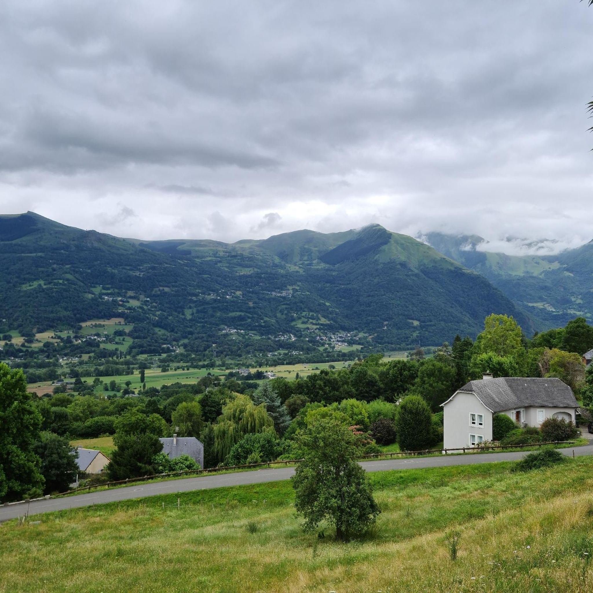
viewpoint over the valley of the gift de pau.
1
0


Magnificent view over the plain and the Gaves valley. On the other hand, it is not an old luxury hotel at the top, but the old cable car station. There is indeed a project to transform it into a shelter, but the funding is not forthcoming.
1
0

Do not stop at the station take the stairs on the right after the gate and climb to the top of the steps you will find a square platform and from there you will see Lourdes on your left and Argelès on your right at equal distance in Panoramic view
1
1

The peak of Pibeste culminates at 1,349 meters above sea level on the heights of the city. Its location allows to open a nice panorama on the chain of the Pyrenees as well as the valley which is below. A few meters from the top is an old luxury hotel.
1
1
The peak of Pibeste culminates at 1,349 meters above sea level on the heights of the city. Its location allows to open a nice panorama on the chain of the Pyrenees as well as the valley which is below. A few meters from the top is an old luxury hotel.
0
0
Frequently Asked Questions
How many running routes are available around Ayzac-Ost?
There are over 25 dedicated running routes around Ayzac-Ost, offering a diverse range of experiences for all fitness levels. These routes are highly rated by the komoot community.
Are there easy running routes suitable for beginners in Ayzac-Ost?
Yes, Ayzac-Ost offers several easy running routes perfect for beginners or those looking for a relaxed jog. While specific easy routes aren't detailed here, the region's network includes options along river valleys and through open areas that are less demanding.
What kind of terrain can I expect on running trails in Ayzac-Ost?
The running trails in Ayzac-Ost feature a varied landscape, including paths along the Gave de Pau river, through open areas, and routes leading into the foothills and elevated terrain. You'll find a mix of flat sections and gentle ascents.
Are there challenging running trails for experienced runners in Ayzac-Ost?
Absolutely. For experienced runners seeking a challenge, Ayzac-Ost has several difficult routes. One such route is the Mount de Gez – Argelès-Gazost Town Square loop from Argelès-Gazost, which is 9.5 miles (15.3 km) long and features significant elevation gain.
Can I find circular running routes in the Ayzac-Ost area?
Many of the running routes around Ayzac-Ost are designed as loops, allowing you to start and finish in the same location. Examples include The Chapel loop from Argelès-Gazost and the Bridge over the Gave de Pau – Argelès-Gazost Town Square loop from Argelès-Gazost.
What are some scenic points of interest I might see while running in Ayzac-Ost?
While jogging in Ayzac-Ost, you can enjoy views of the surrounding peaks and mountain passes. Notable highlights include Mount de Gez and Pibeste Peak. Some routes also pass through local town centers and along the Gave de Pau river.
Are the running trails in Ayzac-Ost suitable for families?
Yes, the variety of routes includes options suitable for families. Look for routes described as 'easy' or 'moderate' with less elevation gain, often found along the riverbanks or through open areas, which provide a pleasant experience for all ages.
What do other runners say about the trails in Ayzac-Ost?
The running trails in Ayzac-Ost are highly regarded by the komoot community, boasting an average rating of 4.6 stars from over 60 reviews. Runners often praise the varied terrain, the scenic views of the valleys and foothills, and the well-connected paths between natural areas and town centers.
Are there any long-distance running options available?
Yes, for those looking for longer runs, there are several routes exceeding 10 kilometers. For instance, the Argelès-Gazost Town Square – Mount de Gez loop from Argelès-Gazost covers 12.5 miles (20.1 km) and offers a substantial workout.
What is the best time of year to go running in Ayzac-Ost?
Ayzac-Ost offers good running conditions throughout much of the year. Spring and autumn provide pleasant temperatures and vibrant scenery. Summer is also popular, especially for routes along the river or in shaded areas. Winter running is possible, though higher elevation routes might require checking local conditions.
Can I bring my dog on the running trails in Ayzac-Ost?
Many trails in the Ayzac-Ost region are dog-friendly, allowing you to enjoy your run with your canine companion. However, it's always recommended to check specific trail regulations or local signage, especially in nature reserves or protected areas, and to keep your dog on a leash.
How can I find detailed maps and navigation for these running routes?
You can find detailed maps and turn-by-turn navigation for all these running routes directly on komoot. Simply search for the route by name or browse the Ayzac-Ost region on the komoot website or app to access GPX tracks, elevation profiles, and user reviews.
Most popular routes around Ayzac-Ost
Most popular attractions around Ayzac-Ost

Get inspired with the komoot mobile app


Explore more
Browse the best Running Trails & Routes in other regions.
