The best running trails around Viella
4.3
(41)
2,973
runners
115
runs
Jogging around Viella offers access to the diverse landscapes of the Val d'Aran in the Catalan Pyrenees. The region is characterized by majestic mountains, including peaks over 2,000 meters, and is rich in water features such as rivers and lakes. Runners can explore varied terrain, from riverside paths along the Nere and Garonne rivers to shaded forest trails through pine and fir woodlands. This unique Atlantic-facing valley provides a robust network of running trails for various fitness levels.
Best jogging routes around Viella
- The most popular jogging route is Stage 4: Luz-Saint-Sauveur to Vielle-Aure — Grand Raid des Pyrénées, a 26.2 miles (42.1 km) trail that takes 6 hours 53 minutes to complete. This difficult route traverses challenging Pyrenean mountain terrain with significant elevation gain.
- Another top favourite among local runners is Luz-Saint-Sauveur – Trail Luz Saint sauveur loop from Luz-Saint-Sauveur, a difficult 6.1 miles (9.8 km) path. This route offers a demanding ascent through forest trails, providing panoramic views of the surrounding peaks.
- Local runners also love the Bastan River – Luz-Saint-Sauveur loop from Luz-Saint-Sauveur, a 9.1 miles (14.6 km) trail leading through varied terrain including riverside paths and forested sections, often completed in about 2 hours 49 minutes.
- Jogging around Viella is defined by Pyrenean mountains, alpine forests, and river valleys. The extensive network offers options for both easy jogs and more challenging trail running experiences.
- The routes in Viella are highly rated by the komoot community with an average score of 4.3 stars from more than 40 reviews. More than 2,800 runners have used komoot to explore Viella's varied terrain.
Last updated: July 17, 2026
33
runners
42.1km
06:54
2,170m
2,080m
Hard run. Very good fitness required. Sure-footedness, sturdy shoes and alpine experience required.
5.0
(1)
46
runners
20.1km
02:56
1,100m
1,100m
Hard run. Very good fitness required. Mostly paved surfaces. Suitable for all skill levels.

Sign up for free
45
runners
14.6km
02:48
1,310m
1,310m
Hard run. Very good fitness required. Mostly paved surfaces. Suitable for all skill levels.
5.0
(1)
10
runners
7.21km
01:00
330m
330m
Hard run. Very good fitness required. Mostly paved surfaces. Suitable for all skill levels.
9
runners
3.57km
00:23
70m
70m
Easy run. Great for any fitness level. Mostly paved surfaces. Suitable for all skill levels.
Get access to more routes and recommendations from other explorers.
Sign up for free
Already have an account?
Our route recommendations are based on thousands of hikes, rides, and runs completed by other people on komoot.
Start today with a free account
Your next adventure awaits.
Login or Signup
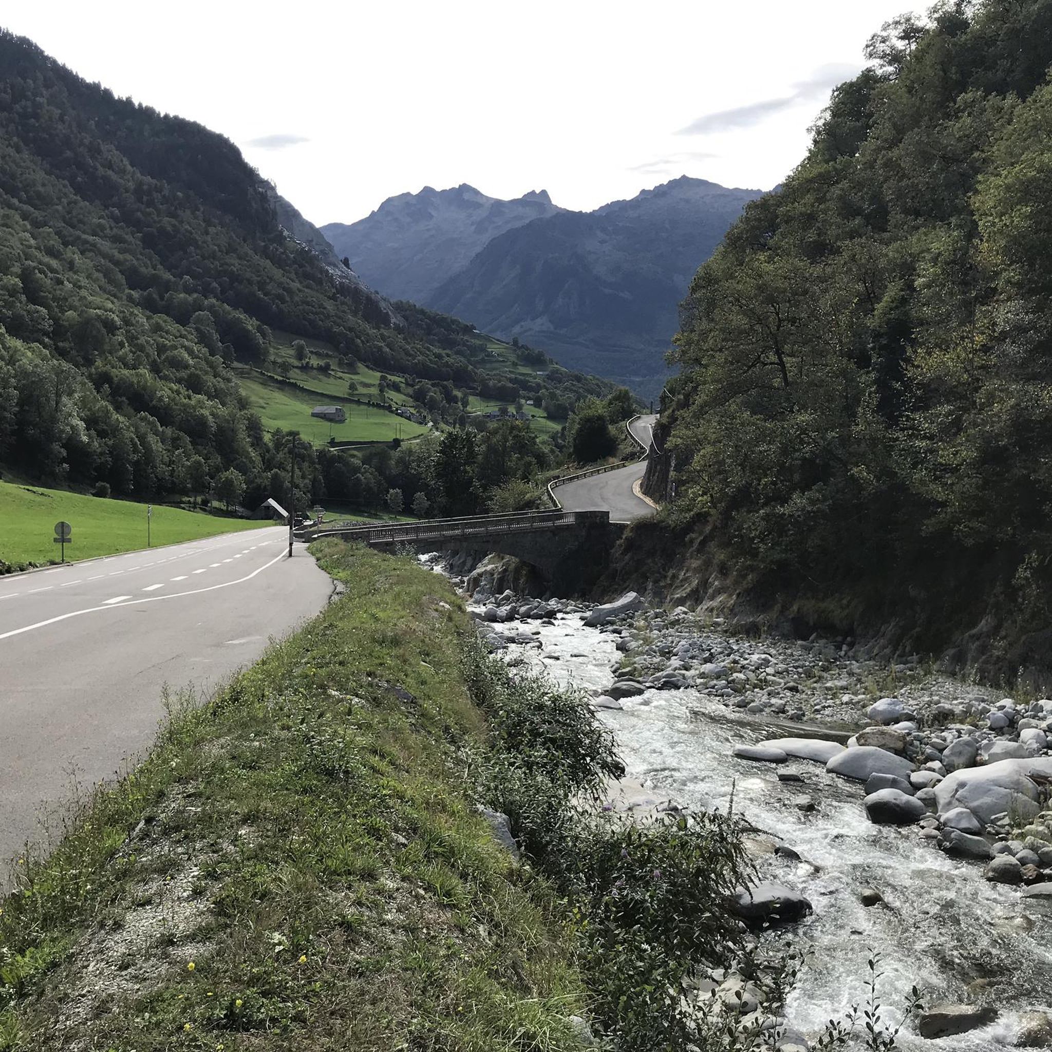
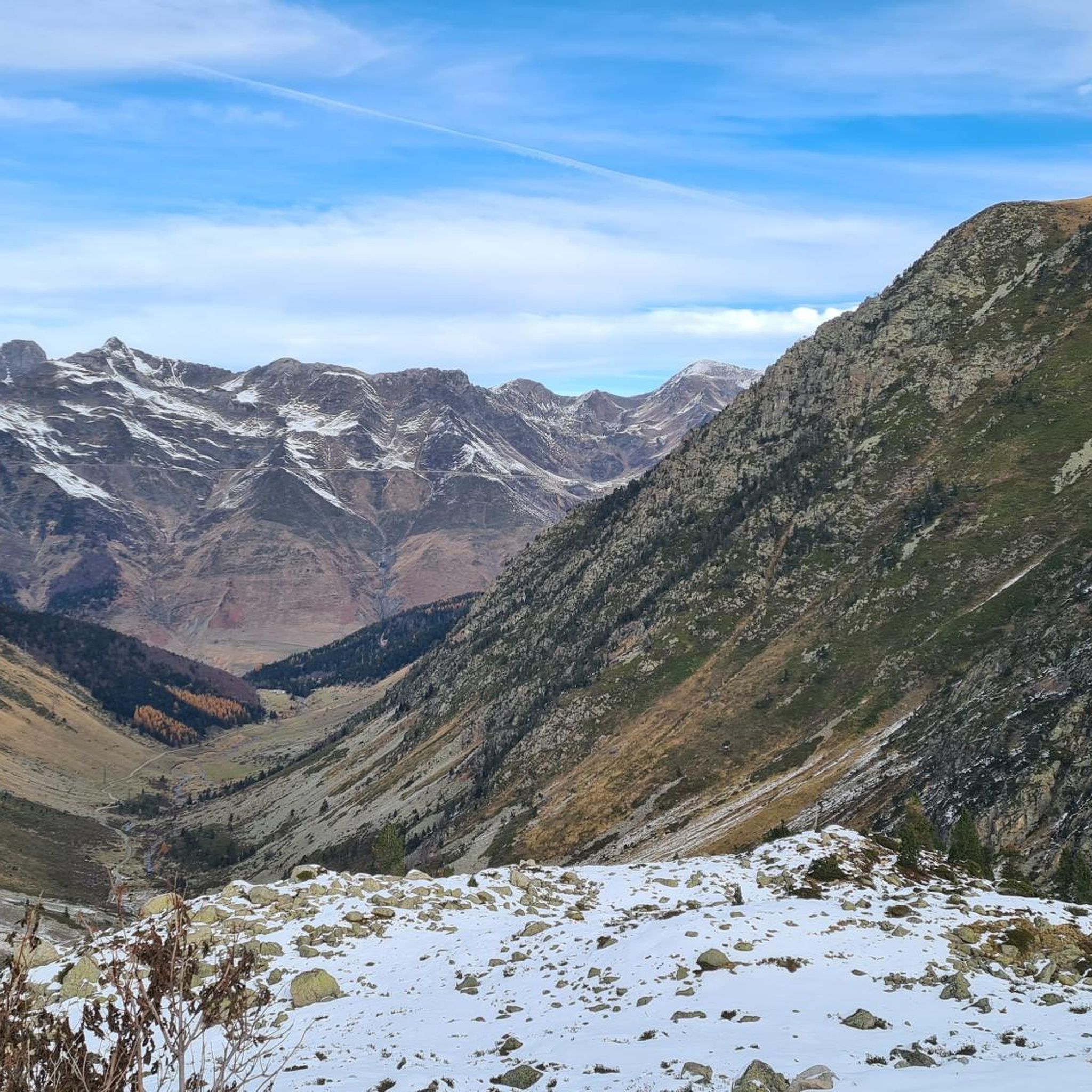
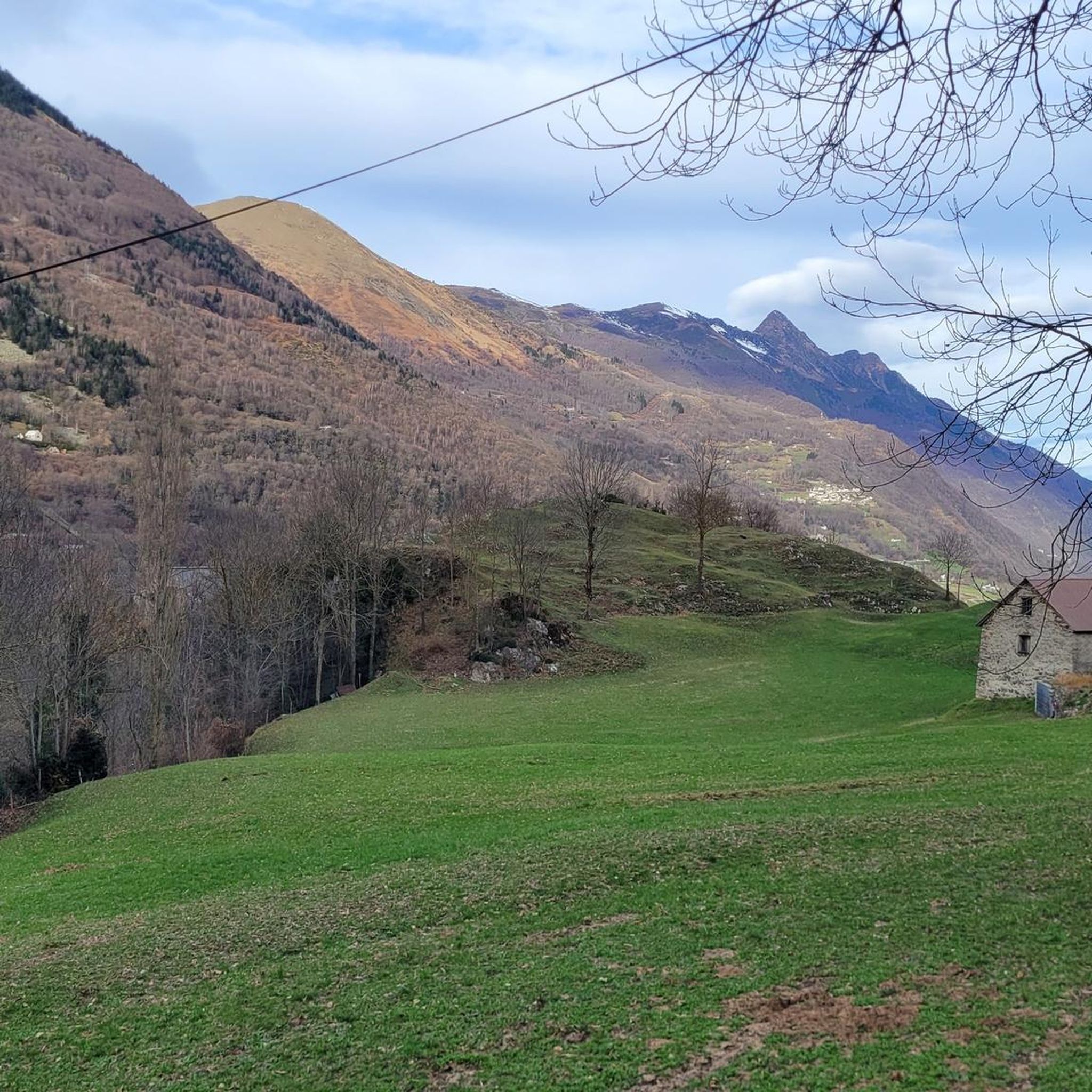
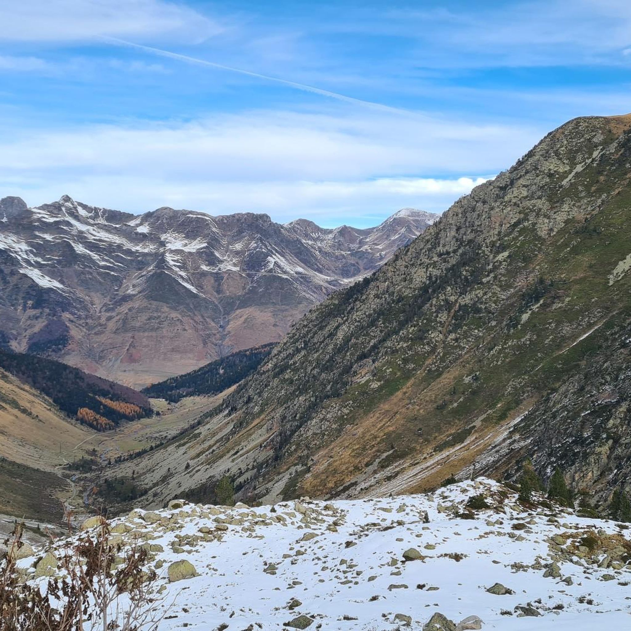


Tips from the Community

starting point to climb the Tourmalet from Luz-St-Sauveur
1
0

Town where you can settle down to do various bicycle routes and climb some of the mythical (and not so well-known) passes and Pyrenean peaks. Below I leave you a list: Tourmalet, Luz Ardiden, Cirque du Troumousse, Col des Tentes, Plateau de Saugué, Pont d'Espagne, Cambasque, Hautacam, Col des Borderes, Col de Soulor, Col d'Aubisque, Col des Spandelles.
0
0

The first kilometers of the ascent towards Luz-Ardiden pass through several small hamlets. Each of them offers a beautiful view of the town of Luz-Saint-Sauveur below as well as its valley.
1
0
Luz-Ardiden is one of the most beautiful climbs in the Pyrenees. The Luz-Ardiden station is located on the heights of Luz-Saint-Sauveur from where the climb begins. In total, it's 14.7 kilometers at 6.87% average that lead to 1,720 meters above sea level. The last kilometers and its many switchbacks make it all its charm. Enjoy the view which becomes more and more vertiginous.
1
0
Luz-Saint-Sauveur is a lively and welcoming town in the French Pyrenees. Its strategic location makes it a key crossing point to reach several valleys. Particularly welcoming, the town has no shortage of accommodation and dining options.
0
0

Luz-Saint-Sauveur seduces you quickly. This town is not only the starting point of Tourmalet but also an emblem within the Pyrenees. It is located near the Luz Ardiden, Gavarnie and Grand Tourmalet ski resorts.
0
0
The Gaubie valley includes the Gaubie and Pountou bridges. It houses the ruins of the Gaubie huts and leads to the plateau of Aygues Cluses and its refuge.
0
0
Vieille-Aure is a charming little village in the Pyrenees located in the Néouvielle national reserve. Authentic with its alleys and Auroises houses, it is the starting point for many mountain activities.
1
0
Frequently Asked Questions
How many jogging routes are available around Viella?
Viella offers a wide selection of running routes, with over 100 trails available for exploration. These range from easy riverside paths to challenging mountain ascents, catering to various fitness levels.
Are there easy jogging routes suitable for beginners or families in Viella?
Yes, while many routes are challenging, Viella does offer easier options. You can find paths along the Nere and Garonne rivers, or explore serene forest trails that are less demanding. The region's varied terrain ensures there are suitable routes for all abilities, including those looking for a gentle jog.
What kind of natural features can I expect to see on running trails in Viella?
Running routes around Viella are rich in natural beauty. You'll encounter majestic mountains, dense forests like the Varicauba and Bosque de Conangles, and crystal-clear rivers such as the Nere and Garonne. The area is also known for its impressive waterfalls, like the Saut deth Pish, and serene lakes, including the Bassa d'Oles. Many trails offer panoramic views of the Pyrenees.
Are there any circular jogging routes in Viella?
Yes, many of the running trails around Viella are designed as loops, offering a convenient way to explore the diverse landscapes without retracing your steps. For example, the Luz-Saint-Sauveur – Trail Luz Saint sauveur loop from Luz-Saint-Sauveur provides a demanding ascent through forest trails with panoramic views.
Can I bring my dog on the jogging trails in Val d'Aran?
The Val d'Aran region is generally dog-friendly, and many trails are suitable for running with your canine companion. However, it's always recommended to keep dogs on a leash, especially in protected areas or near livestock, and to check specific trail regulations before heading out.
What are some notable viewpoints or landmarks I can reach while running in Viella?
Many running routes in Viella lead to spectacular viewpoints. For instance, climbing Hourquette d’Aubert or Neouvielle Peak offers incredible vistas of the Pyrenees. You might also encounter historical paths like the Camin Reiau, or pass by the Cyclist statue at the Col du Tourmalet on longer routes.
What do other runners enjoy most about jogging in Viella?
The running experience in Viella is highly regarded by the komoot community, with an average rating of 4.3 stars. Runners frequently praise the region's unspoiled landscapes, the variety of terrain from riverbanks to mountain passes, and the breathtaking views of the Pyrenees. The extensive network of paths, many following ancient routes, also adds to the unique appeal.
Are there any long-distance or advanced running routes for experienced trail runners?
Absolutely. Viella is a fantastic destination for experienced trail runners seeking a challenge. Routes like Stage 4: Luz-Saint-Sauveur to Vielle-Aure — Grand Raid des Pyrénées, a 42.1 km trail with significant elevation gain, offer demanding terrain and stunning scenery. Other difficult options include the Grust Village – Luz-Ardiden loop from Luz-Saint-Sauveur, which covers 20 km.
What is the best season for jogging in Viella?
The best season for jogging in Viella largely depends on your preference. Spring and autumn offer pleasant temperatures and vibrant landscapes, ideal for most runners. Summer provides longer daylight hours, though some higher altitude trails might be warm. Winter running is possible, especially on lower elevation paths, but requires appropriate gear and awareness of snow conditions in the mountains.
Are there any routes that follow rivers or offer waterside running?
Yes, Viella is divided by the Nere and Garonne rivers, and many running paths follow their banks. These riverside routes offer a picturesque setting, often through shaded sections, and are generally less strenuous. The Bastan River – Luz-Saint-Sauveur loop from Luz-Saint-Sauveur is an example of a trail that includes varied terrain, including riverside paths.
How accessible are the jogging routes by public transport or car parking?
While many routes are accessible by car with available parking, public transport options to specific trailheads can be more limited, especially for routes deep within the valleys or mountains. It's advisable to check local transport schedules if you plan to rely on it. For popular starting points, parking facilities are generally available, though they might be busy during peak seasons.
Most popular attractions around Viella

Get inspired with the komoot mobile app


Explore more
Browse the best Running Trails & Routes in other regions.
