The best running trails around Bun
4.6
(125)
8,920
runners
267
runs
Jogging around Bun offers a variety of routes through its diverse landscape. The region features a mix of valleys and elevated terrain, providing options for different running preferences. Many routes include significant elevation changes, characteristic of the area's mountainous surroundings. These running trails in Bun allow for exploration of both natural and village environments.
Best jogging routes around Bun
- The most popular jogging route is Col des Bordères (1156 m) – Pont d'Arrens-Marsous loop from Aucun, a 9.7 miles…
Last updated: July 4, 2026
4.0
(1)
15
runners
10.3km
01:21
330m
330m
Hard run. Very good fitness required. Mostly paved surfaces. Suitable for all skill levels.
5.0
(1)
18
runners
10.5km
01:20
500m
500m
Hard run. Very good fitness required. Mostly paved surfaces. Suitable for all skill levels.

Sign up for free
5.0
(1)
13
runners
7.50km
00:47
50m
50m
Moderate run. Good fitness required. Mostly paved surfaces. Suitable for all skill levels.
13
runners
7.02km
01:05
440m
440m
Hard run. Very good fitness required. Sure-footedness, sturdy shoes and alpine experience required.
10
runners
13.6km
01:44
560m
560m
Hard run. Very good fitness required. Mostly paved surfaces. Suitable for all skill levels.
Get access to more routes and recommendations from other explorers.
Sign up for free
Already have an account?
Our route recommendations are based on thousands of hikes, rides, and runs completed by other people on komoot.
Start today with a free account
Your next adventure awaits.
Login or Signup
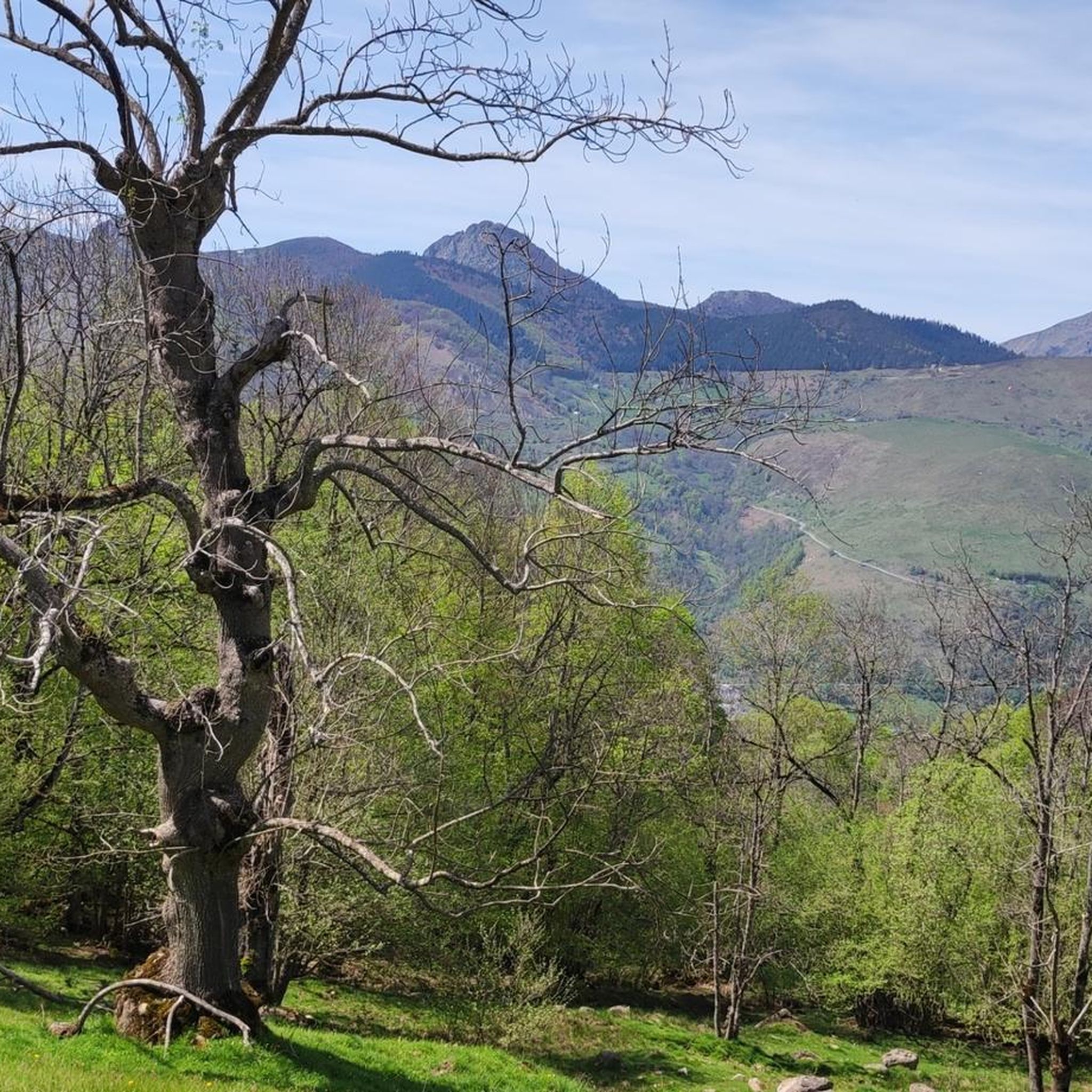
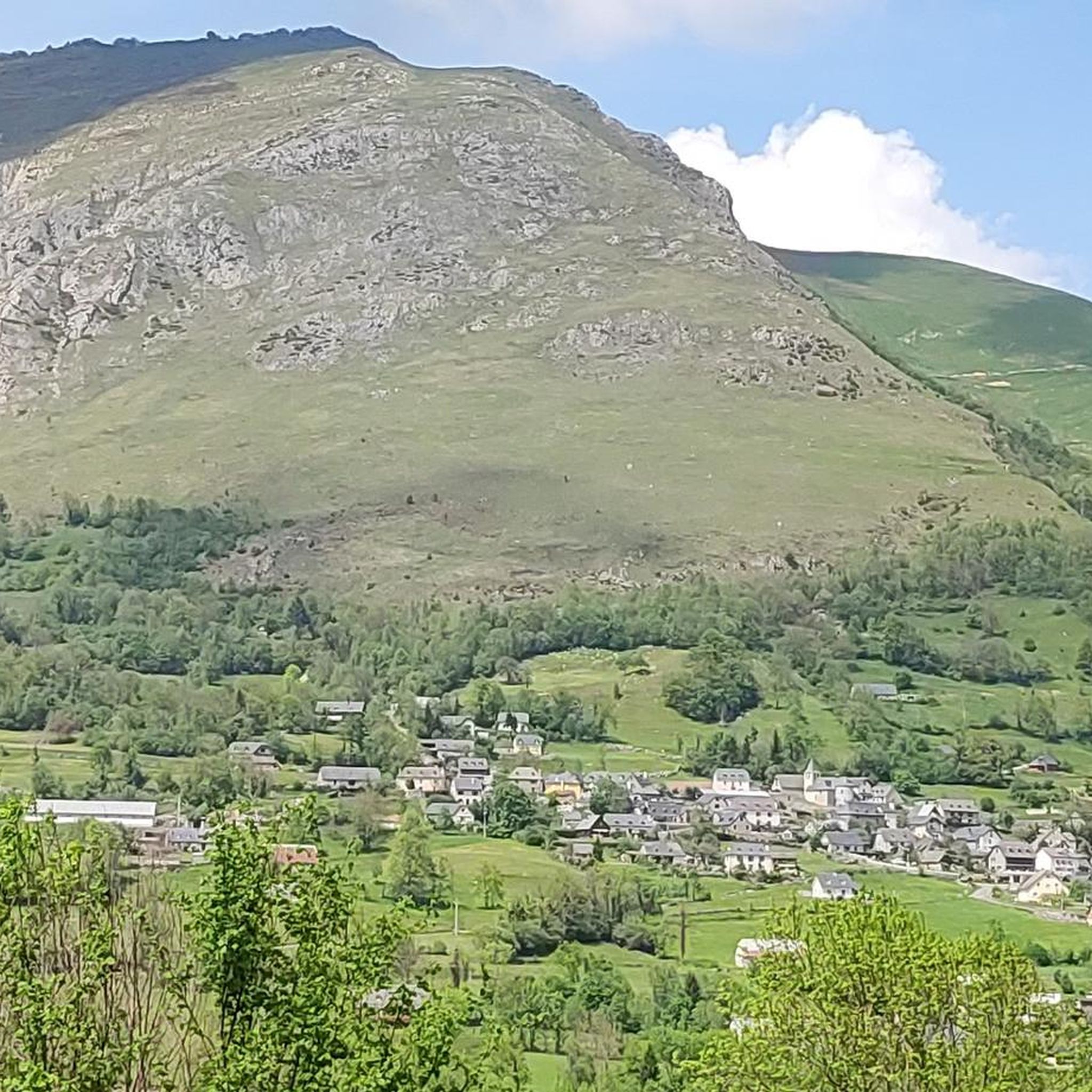
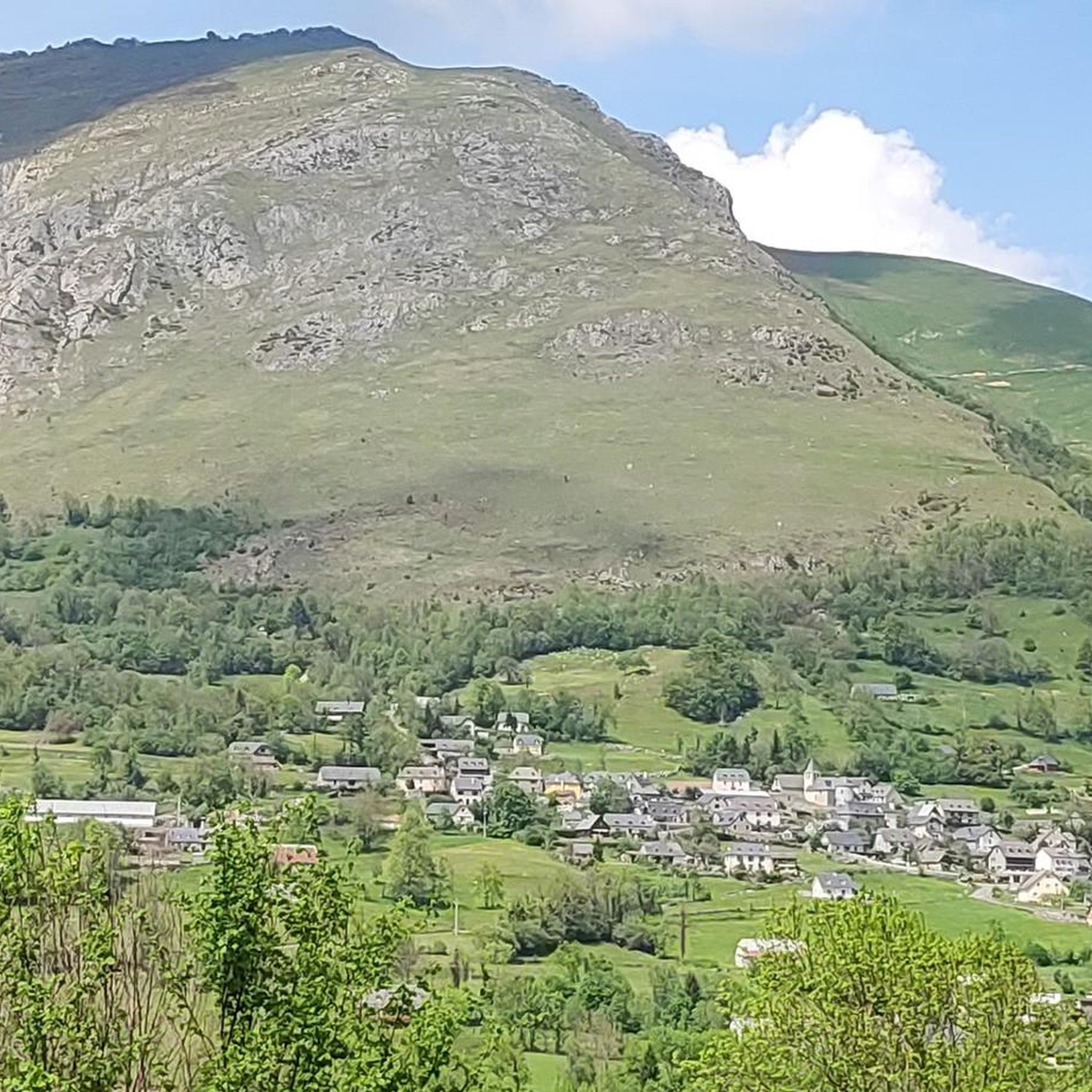
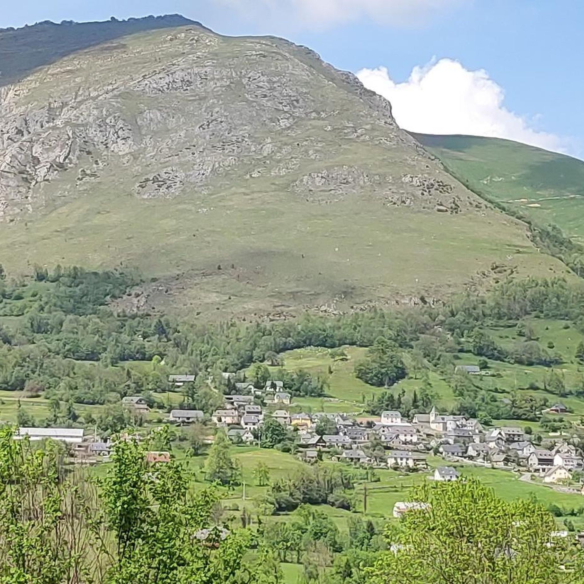


Tips from the Community

A good base for mountain bike tours through the Val d'Azun, as there are several parking areas. A pump track has also been built on the edge of the village.
0
0

A very nice climb. Be careful because there's a steep section. Check the altitude.
0
0

Superb views of the Pyrenees. Magnificent single track trails in autumn
1
0
From here you can make a nice descent to Arcizans-Dessus.
1
0
Beautiful viewpoint, paragliders often take off here.
2
0

The pass is nestled on a magnificent ridge line which offers countless panoramas over the Val d'Azun.
0
1
At an altitude of 1,350 meters, this pass offers a fantastic view of the valley and the surrounding peaks. It is also an ideal place to bivouac.
0
0

It is a beautiful port, very quiet, with a narrow and irregular road that drives very well. Both aspects are worth it, although they are very different. I like the east side better. It is a perfect alternative to climb the Col de Soulor, avoiding the busy passage through Argelès and the first part of the climb to Soulor.
0
0
Frequently Asked Questions
How many running routes are available in Bun?
Bun offers a wide variety of running options, with over 240 routes available. These range from easy paths to very challenging trails, catering to all fitness levels.
Are there challenging running trails in Bun for experienced runners?
Yes, Bun is known for its challenging terrain. Over 140 of the routes are classified as difficult, featuring significant elevation changes. For example, the Col des Bordères (1156 m) – Pont d'Arrens-Marsous loop from Aucun is a difficult 9.7-mile (15.6 km) trail with over 820 meters of ascent.
What are some good options for a moderate run in Bun?
For a moderate running experience, you can explore routes like the Arens-Marsous Village loop from Aucun. This 5.3-mile (8.5 km) trail takes you through village surroundings and has a manageable elevation gain of about 167 meters. Another good option is the Running loop from Bun, which is 6.6 km long with 177m of ascent.
Are there any long-distance running trails around Bun?
Yes, Bun offers several longer routes for endurance runners. Many of the difficult trails extend for considerable distances, such as the Col des Bordères (1156 m) – Pont d'Arrens-Marsous loop from Aucun, which is 15.6 km long. Another option is the Couret Pass – Couraduque Pass loop from Bun, covering 13.6 km with over 550 meters of ascent.
What do other runners enjoy most about jogging in Bun?
The running routes in Bun are highly rated by the komoot community, with an average score of 4.6 stars from over 120 reviews. Runners often praise the varied terrain, which includes both village paths and routes with significant elevation changes, offering diverse experiences for all ability levels.
Are there any circular running routes in Bun?
Yes, many of the running paths in Bun are designed as loops, allowing you to start and finish in the same location. Examples include the Pont d'Arrens-Marsous – Col des Bordères (1156 m) loop from Aucun and the Arens-Marsous Village loop from Aucun, which are popular choices for their convenience and scenic views.
What kind of terrain can I expect on the running trails in Bun?
The terrain around Bun is quite varied, characterized by a mix of valleys and elevated areas. You'll find village paths, forest trails, and routes with significant elevation changes, reflecting the region's mountainous surroundings. This diversity provides options for different running preferences and challenges.
Are there any viewpoints or scenic spots along the running routes in Bun?
Absolutely! The mountainous region around Bun offers numerous opportunities for scenic views. You might encounter stunning vistas from places like Soulor Panorama or the Balcon de Sireix. Many routes traverse mountain passes such as Col du Soulor, providing breathtaking landscapes.
What are some interesting landmarks or attractions near the running trails in Bun?
Beyond the trails themselves, the Bun area is rich with natural landmarks. Runners can explore mountain passes like Col du Soulor and Spandelles Pass. There are also prominent peaks such as Mount de Gez and Pan Peak, which offer impressive backdrops to your run.
Are there any easy or family-friendly running routes in Bun?
While Bun is known for its challenging terrain, there are still options for easier runs. The guide lists 10 routes classified as easy, and many of the moderate trails, such as the Arens-Marsous Village loop from Aucun, are suitable for families or those looking for a less strenuous experience.
What is the typical elevation gain on running routes in Bun?
Due to Bun's mountainous surroundings, many running routes feature significant elevation changes. While easier paths might have around 150-200 meters of ascent, difficult routes can involve over 800 meters of climbing, such as the Col des Bordères (1156 m) – Pont d'Arrens-Marsous loop from Aucun.
Most popular attractions around Bun

Get inspired with the komoot mobile app


Explore more
Browse the best Running Trails & Routes in other regions.
