The best mountain hikes around Sazos
4.3
(20)
126
hikers
16
hikes
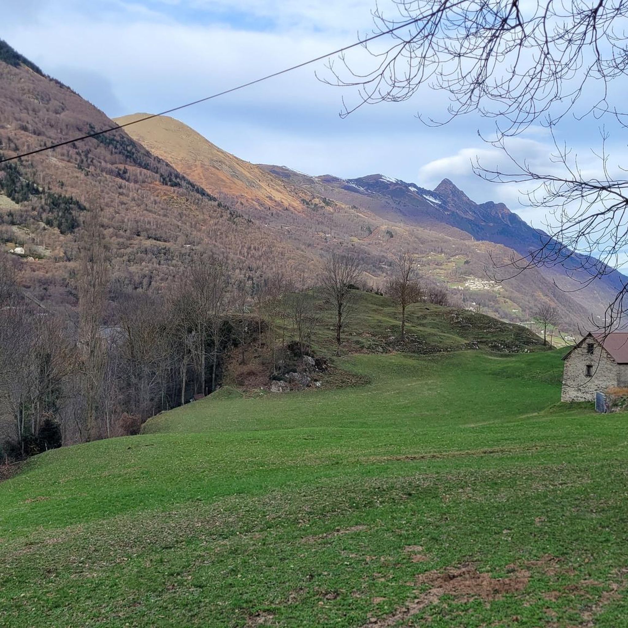
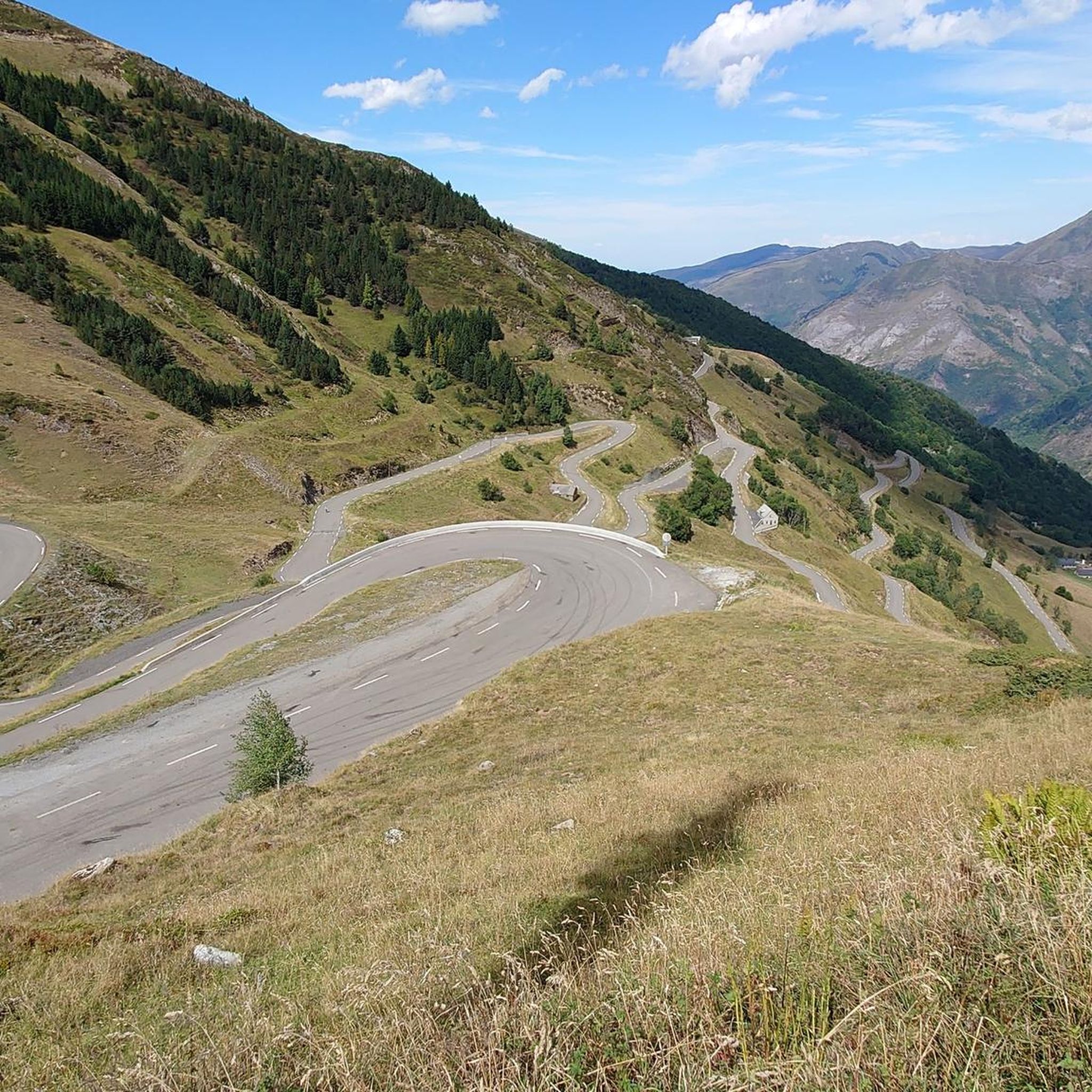
Mountaineering routes around Sazos are situated in the Hautes-Pyrénées department of France, within the Gavarnie Valley, offering access to the Pyrenees National Park. The region features dramatic mountain scenery, including prominent ridges, dense forests, and high-altitude lakes like Lac de Gaube. This area provides diverse terrain, from challenging peaks and cirques to varied landscapes suitable for both engaged hikes and technical climbing. The elevation range supports a wide array of outdoor experiences.
Best mountaineering routes around Sazos
- The most popular mountaineering route is Lakeside Hotel – Lake Gaube loop from Parking du Puntas, a 4.1 miles (6.6 km) trail that takes 2 hours 8 minutes to complete. This moderate route offers views of Lake Gaube, a significant high-altitude lake in the region.
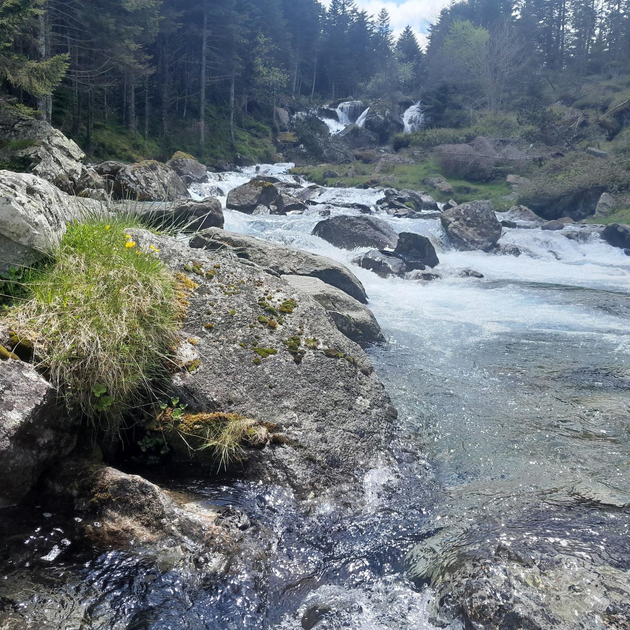
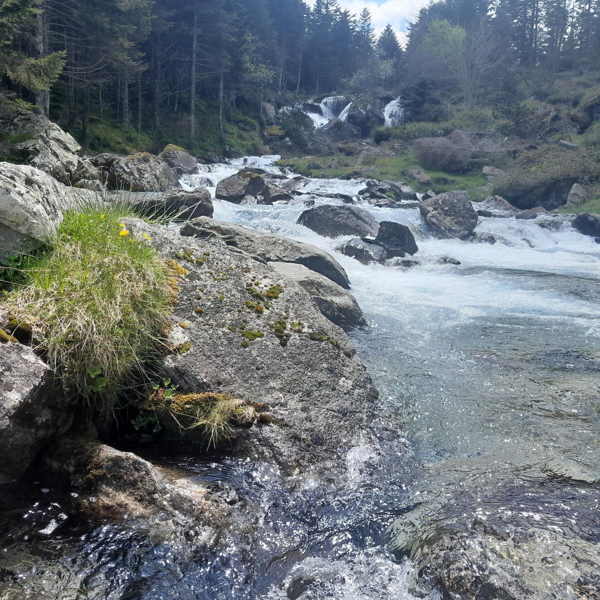
- Another top favourite among local mountaineers is Boussès Waterfall – Lake Gaube loop from Cauterets, a moderate 9.1 miles (14.7 km) path. This route features impressive waterfalls and leads towards the scenic Lake Gaube.
- Local mountaineers also love the Lac Noir – Refuge d'Ilhéou loop from Cambasque, a 5.9 miles (9.5 km) trail leading through high-mountain terrain towards Lac Noir, often completed in about 3 hours 30 minutes.
- Mountaineering around Sazos is defined by the dramatic Pyrenean landscapes, including high-altitude lakes, challenging cirques, and diverse mountain terrain. The network offers options for different ability levels, from moderate ascents to more difficult, engaged routes.
- The routes in Sazos are highly rated by the komoot community with an average score of 4.6 stars from over 20 reviews. More than 140 mountaineers have used komoot to explore Sazos's varied terrain.
Last updated: July 3, 2026
4.5
(2)
26
hikers
15.0km
09:04
1,370m
1,370m
Hard mountaineering route. Very good fitness required. Sure-footedness, sturdy shoes and alpine experience required.
4.9
(7)
19
hikers
6.64km
02:09
290m
290m
Moderate mountaineering route. Good fitness required. Easily-accessible paths. Suitable for all skill levels.

Sign up for free
4.3
(4)
14
hikers
14.7km
04:52
700m
700m
Moderate mountaineering route. Good fitness required. Easily-accessible paths. Suitable for all skill levels.
5.0
(1)
15
hikers
9.78km
03:34
630m
630m
Moderate mountaineering route. Good fitness required. Easily-accessible paths. Suitable for all skill levels.
14
hikers
16.6km
05:44
850m
850m
Hard mountaineering route. Very good fitness required. Mostly accessible paths. Sure-footedness required.
Get access to more routes and recommendations from other explorers.
Sign up for free
Already have an account?
Our route recommendations are based on thousands of hikes, rides, and runs completed by other people on komoot.
Start today with a free account
Your next adventure awaits.
Login or Signup

Tips from the Community

From the lake of Iléhou, if you continue on the path, it leads to the Col de la Hougade which allows you to cross over to the valley of the Pont d'Espagne and its many lakes. Count on an extra hour at an average pace to the pass." Pitou Pata" Nothing prevents!!
0
0

Because it's a summit that has to be won! A good difference in altitude whether you start from the Pont d'Espagne, the Baysselance refuge or the Ossoue dam, the passage of the Ossoue Glacier and the last part of climbing to reach the summit and enjoy this marvelous panorama
0
0

Large, welcoming refuge. An invigorating, cool shower during our stay. Very good meal and a great atmosphere in the evening. The caretaker was attentive. Maps, guidebooks, books, and board games are available in the common room.
1
0


... view of the bridge and the waterfall.
2
0
A phenomenal mountain lake that gets crowded later in the summer.
2
0

A beautiful, blue, ice-cold mountain lake. The path here is steep and rocky!
0
0
Frequently Asked Questions
How many mountaineering routes are available around Sazos?
There are over 15 mountaineering routes around Sazos, offering a diverse range of experiences from moderate ascents to more challenging, engaged routes. The region is known for its dramatic Pyrenean landscapes, including high-altitude lakes and challenging cirques.
Are there any circular mountaineering routes near Sazos?
Yes, several circular routes are available. For example, the Lakeside Hotel – Lake Gaube loop from Parking du Puntas is a moderate 4.1-mile (6.6 km) trail offering views of the significant high-altitude Lake Gaube. Another option is the Pont de la Pourtère – Marcadau Plateau loop from Pont d'Espagne, which is also a moderate route.
What kind of natural features can I expect to see on mountaineering routes around Sazos?
Mountaineering routes around Sazos are rich in natural beauty. You'll encounter dramatic mountain scenery, including prominent ridges, dense forests, and breathtaking high-altitude lakes such as Lac de Gaube. The region is also close to the grandiose natural amphitheaters of Cirque de Gavarnie and Cirque de Troumouse, both UNESCO World Heritage sites, offering spectacular vistas.
Are there any waterfalls along the mountaineering trails in Sazos?
Yes, the region is home to impressive waterfalls. The Boussès Waterfall – Lake Gaube loop from Cauterets is a moderate 9.1-mile (14.7 km) path that features stunning waterfalls and leads towards the scenic Lake Gaube. The Pont d'Espagne area, a common starting point for hikes, is also known for its impressive waterfalls.
What are some challenging mountaineering routes for experienced climbers?
For experienced mountaineers seeking a challenge, the Sazos area provides access to routes with significant elevation gain. The Lac Noir – Refuge d'Ilhéou loop from Cauterets is a difficult 10.1-mile (16.2 km) route with over 1000 meters of elevation gain. The broader Pyrenees also offer opportunities for technical climbing and high-altitude ascents.
Are there options for beginner mountaineers in Sazos?
While Sazos is a gateway to challenging Pyrenean terrain, the area also offers routes suitable for those new to mountaineering. The diverse terrain includes peaceful promenades and more accessible trails, making it a good training ground to develop skills before tackling more ambitious climbs. Look for routes rated as 'moderate' to start.
What is the best time of year for mountaineering in Sazos?
The best time for mountaineering in Sazos generally depends on the specific route and your experience level. The summer months offer the most accessible conditions for high-altitude routes. However, the diverse terrain allows for varied experiences throughout the year, with winter offering opportunities for ice climbing in certain areas.
Where can I find accommodation or huts along the routes?
The Sazos area and the broader Gavarnie Valleys offer welcoming refuges that support extended mountaineering adventures. Notable huts include the Oulettes de Gaube Mountain Hut and the Ilhéou Refuge, which can be found along various routes.
What kind of wildlife might I spot while mountaineering in Sazos?
The Pyrenees National Park, which is accessible from Sazos, is known for its diverse habitats. While mountaineering, you might spot various species adapted to the high-mountain environment. Keep an eye out for chamois, marmots, and a variety of raptors soaring overhead. The varied elevation range supports a rich ecosystem.
Are there any specific permits required for mountaineering in the Sazos region?
Mountaineering in the Pyrenees National Park, which borders Sazos, generally does not require specific permits for hiking on marked trails. However, for certain technical climbs, guided expeditions, or multi-day treks involving overnight stays in specific areas, it's always advisable to check with local authorities or mountain guides for any specific regulations or permits that might apply.
What do other mountaineers enjoy most about the routes around Sazos?
The mountaineering routes around Sazos are highly rated by the komoot community, with an average score of 4.6 stars from over 20 reviews. Reviewers often praise the dramatic Pyrenean landscapes, the stunning high-altitude lakes like Lac de Gaube, and the diverse terrain that offers options for various ability levels.
Are there any multi-day mountaineering options from Sazos?
Yes, Sazos serves as an excellent base for accessing multi-day treks in the larger Pyrenees region. The area's well-marked approaches and welcoming refuges, such as the Oulettes de Gaube Mountain Hut, support extended mountaineering adventures, allowing you to explore the challenging peaks and diverse terrain over several days.
Where can I park my car for mountaineering routes near Sazos?
Many popular mountaineering routes in the Sazos area have designated parking facilities at their trailheads. For instance, the Lakeside Hotel – Lake Gaube loop starts from Parking du Puntas. Other common starting points like Pont d'Espagne or Cauterets also offer parking options, providing convenient access to the trails.
Most popular attractions around Sazos

Get inspired with the komoot mobile app


Explore more
Browse the best Mountain Hikes & Routes in other regions.
