The best running trails around Gränichen
5.0
(6)
88
runners
21
runs
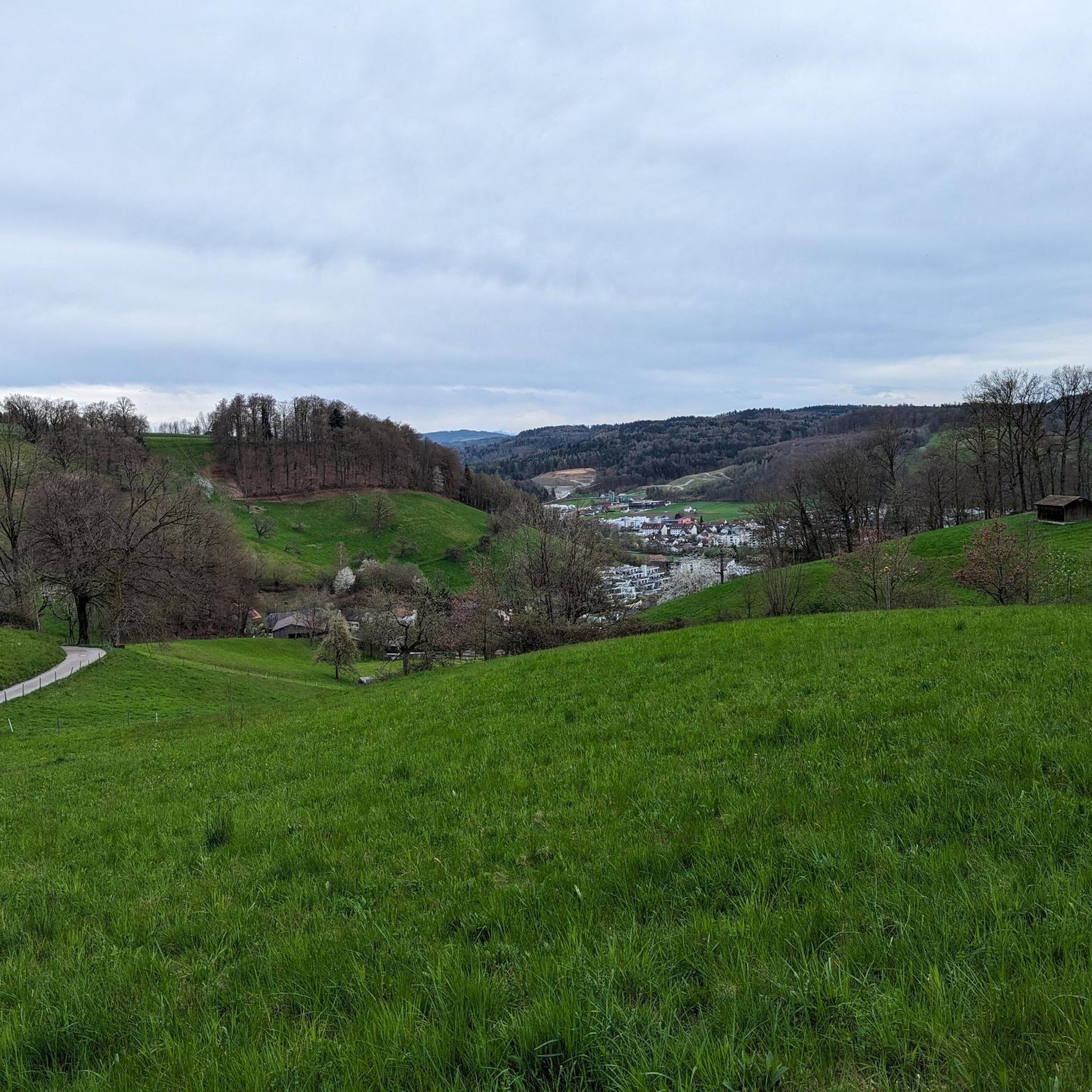
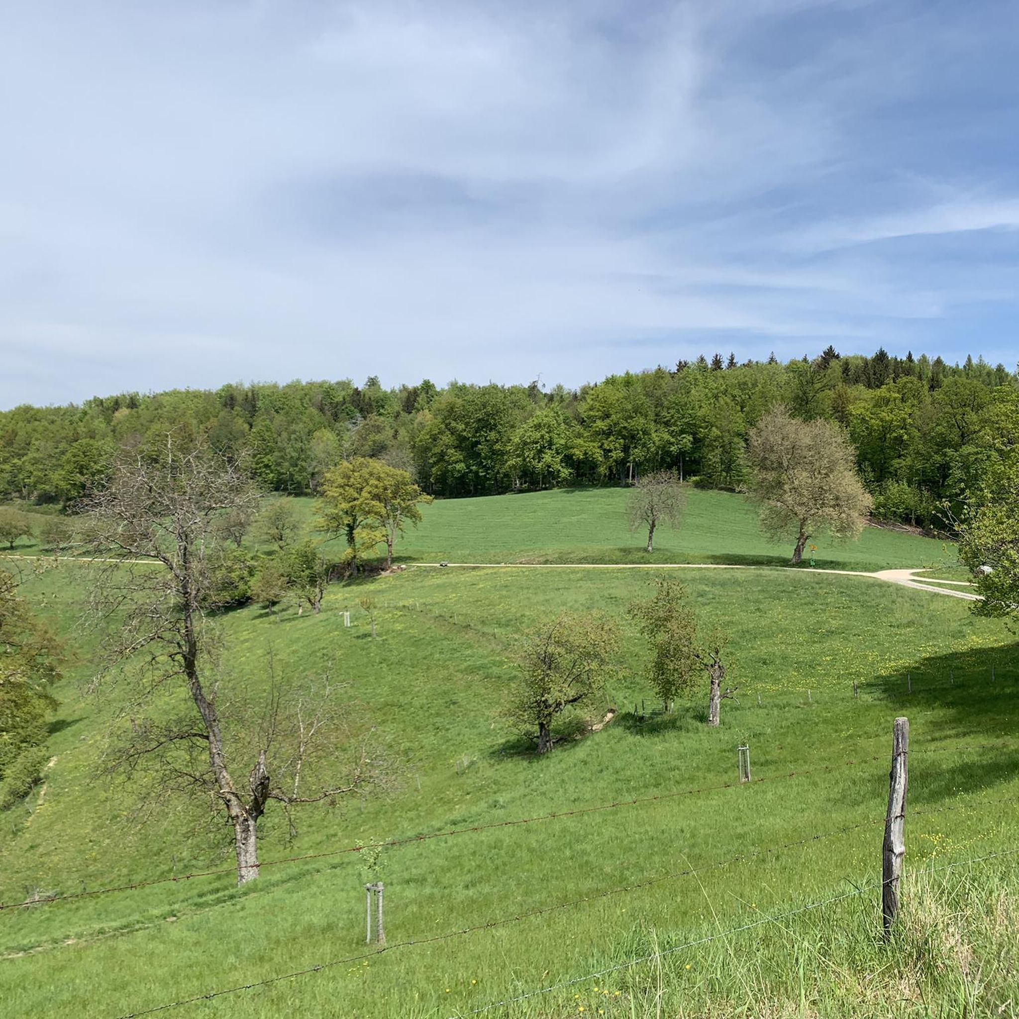
Jogging routes around Gränichen feature diverse natural landscapes and well-maintained trail networks. The region is characterized by a valley setting where the Wyna River flows, flanked by steep hills and smaller valleys. Over 56% of the area is forested, providing ample shaded routes and elevation changes for runners. This varied terrain offers options for different fitness levels, from flatter river paths to challenging ascents.
Best jogging routes around Gränichen
- The most popular jogging route is View of Gränichen – Fuden…
Last updated: September 30, 2026
5.0
(1)
6
runners
8.03km
00:54
160m
160m
Moderate run. Good fitness required. Mostly paved surfaces. Suitable for all skill levels.
5
runners
7.43km
00:48
140m
140m
Moderate run. Good fitness required. Mostly paved surfaces. Suitable for all skill levels.

4
runners
11.8km
01:16
160m
160m
Moderate run. Good fitness required. Mostly paved surfaces. Suitable for all skill levels.
5.0
(1)
4
runners
4.77km
00:32
130m
130m
Moderate run. Good fitness required. Mostly paved surfaces. Suitable for all skill levels.
6
runners
6.70km
00:42
70m
70m
Moderate run. Good fitness required. Mostly paved surfaces. Suitable for all skill levels.
Get access to more routes and recommendations from other explorers.
Already have an account?
Our route recommendations are based on thousands of hikes, rides, and runs completed by other people on komoot.
Start today with a free account
Your next adventure awaits.

Other adventures around Gränichen

Tips from the Community


Beautiful forest hut with fountain and public bench
1
0

Almost dry again, not easy to drive on, slightly deep ground.
1
1
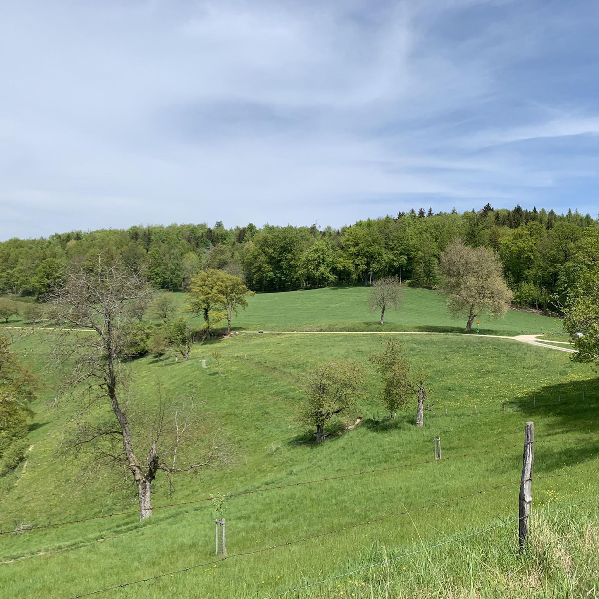
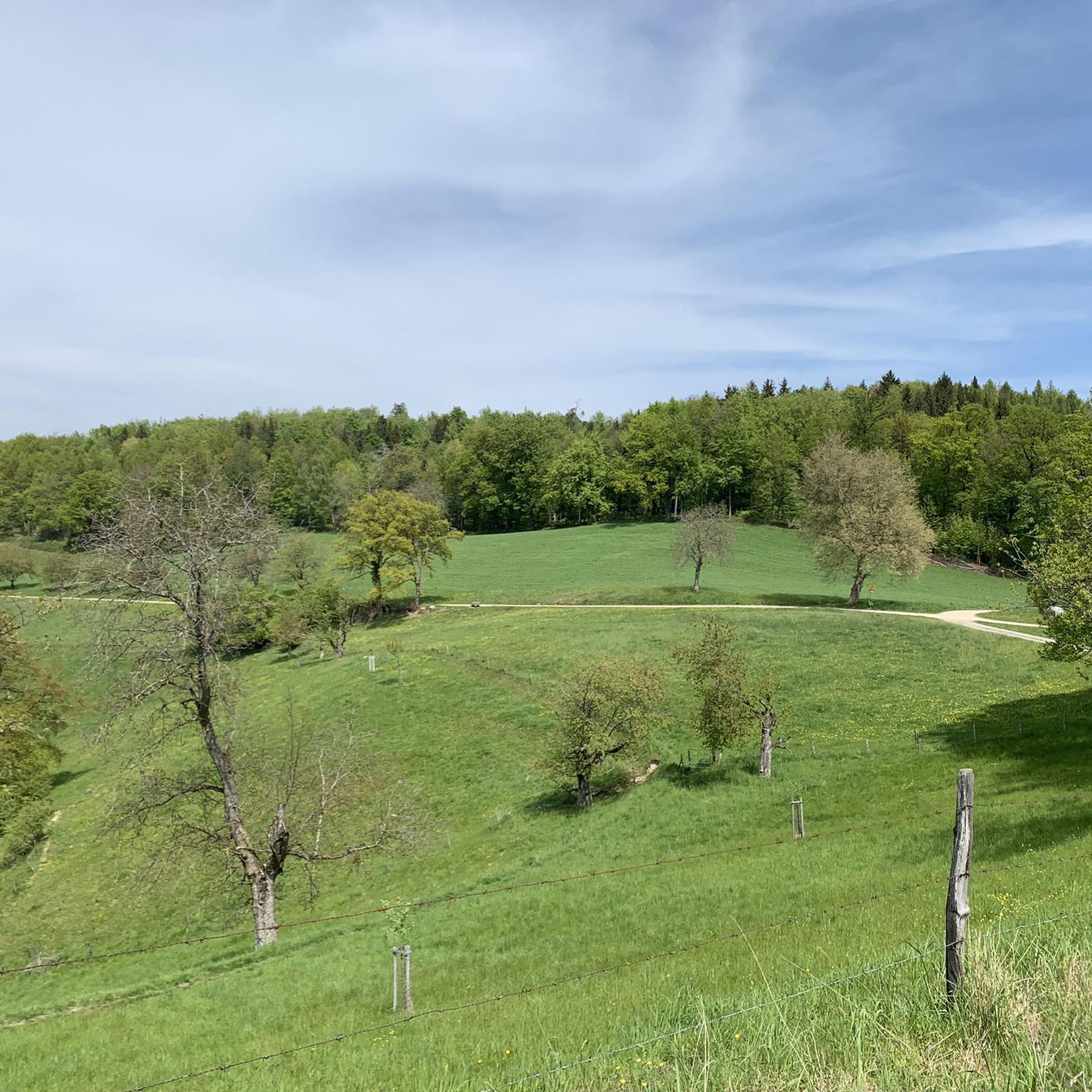
The view from above over Gränchen, not bad, it's worth stopping to pause.
1
0

Beautiful view, worth taking a short break and enjoying.
1
0

Here you can enjoy the view over the whole of Gränichen
1
0
Frequently Asked Questions
How many jogging routes are available in Gränichen?
Gränichen offers a diverse selection of over 20 running routes. These trails cater to various fitness levels, ranging from easy paths to more challenging runs with significant elevation changes.
What kind of terrain can I expect on running trails in Gränichen?
The running trails in Gränichen feature a varied landscape. You'll find routes through dense forests, over rolling hills, and along the flatter sections of the Wyna River valley. Over 56% of the area is forested, providing ample shaded paths and elevation changes.
Are there running routes suitable for beginners in Gränichen?
Yes, Gränichen has routes suitable for beginners. While most trails are moderate, there is at least one easy route available. The Wyna River valley offers flatter sections that are ideal for easier runs, such as the Picnic Spot by the Stream loop from Gränichen, which is a moderate 8 km path but follows the valley.
What do other runners say about the trails in Gränichen?
The running routes in Gränichen are highly regarded by the komoot community, boasting an average rating of 5.0 stars from more than 6 reviews. Over 100 runners have explored the area, often praising the diverse terrain and well-maintained paths.
Can I find running routes with scenic viewpoints in Gränichen?
Absolutely. Gränichen is known for its scenic viewpoints. Elevated points like Wasserflue offer panoramic views of the Swiss Alps and the Black Forest, while Gislifluh/Gisliflue is famous for beautiful sunsets. The Seven Ways Hut – View of Gränichen loop from Gränichen is a great option, leading through forested areas to viewpoints over Gränichen.
Are there any historical landmarks or natural attractions along the jogging routes?
Yes, Gränichen's routes can incorporate interesting historical and natural sites. You might encounter unique geological formations like the Liebeggerwald Sandstone Caves, or historical structures such as Liebegg Castle. While not directly on these routes, Hallwyl Castle is also a notable nearby attraction.
Are the running trails in Gränichen suitable for families?
Many of Gränichen's trails are suitable for families, especially those that follow the Wyna River valley or have less elevation gain. The diverse network allows you to choose routes that match your family's fitness level, ensuring an enjoyable outdoor experience for everyone.
Are there dog-friendly running routes in Gränichen?
Gränichen's natural landscape, with its extensive forests and varied trails, generally welcomes dogs. It's always recommended to keep your dog on a leash, especially in nature reserves or near wildlife, and to check local regulations for specific areas.
What are the options for long-distance running in Gränichen?
For longer runs, Gränichen offers several options. The "Gränichen Ridge Trail – Trostburg loop" extends to 14.2 km (8.8 miles), passing by historical castles. Another excellent choice is the Seven Ways Hut – Bridge over the Wyna loop from Gränichen, which covers nearly 12 km.
Are there running routes that pass by waterfalls or caves?
Yes, you can find running routes that lead near natural attractions like waterfalls and caves. For instance, the Liebeggerwald Sandstone Caves are a notable geological feature that can be incorporated into longer routes. You can also explore nearby waterfalls such as the Tuffgraben Waterfall near Auenstein or the Biberstein Waterfall, which are accessible from Gränichen.
Is parking available near the running trails in Gränichen?
Many of Gränichen's running routes are designed as loops, often with convenient starting and ending points where parking may be available. It's advisable to check specific route details on komoot for information on designated parking areas near trailheads.
How can I access the jogging routes in Gränichen using public transport?
Gränichen's trails are often well-connected and can be accessed by public transport. Many routes are designed as loops, making it convenient to start and finish near public transport stops within the municipality. Check local bus or train schedules for the best access points.
What's the best time of year for running in Gränichen?
Gränichen offers excellent running conditions throughout much of the year. The extensive forested areas provide shade during warmer months, while the varied terrain can be enjoyed in spring and autumn for vibrant scenery. Winter running is also possible, though some trails might require more suitable footwear depending on conditions.
Most popular attractions around Gränichen

Get inspired with the komoot mobile app


Explore more
Browse the best Running Trails & Routes in other regions.
