The best gravel rides around Gränichen
4.3
(212)
1,482
riders
121
rides
Gravel biking around Gränichen offers diverse terrain within the picturesque Wynental, characterized by the Wyna River valley flanked by steep hills and numerous natural forest reserves. The landscape features varied topography, including tributary valleys and small high plateaus, with elevations ranging from 402 meters to 615 meters at peaks like Pfendel. Over half of Gränichen's area is covered by forests, providing shaded trails and scenic routes ideal for gravel biking. This combination of rolling hills and dense woodlands creates a…
Last updated: September 29, 2026
4.7
(41)
124
riders
39.8km
02:34
590m
590m
Hard gravel ride. Very good fitness required. Mostly paved surfaces. Suitable for all skill levels.
4.0
(1)
30
riders
48.5km
03:59
1,050m
1,050m
Hard gravel ride. Very good fitness required. Mostly paved surfaces. Suitable for all skill levels.

5.0
(1)
10
riders
32.9km
02:25
270m
270m
Moderate gravel ride. Good fitness required. Mostly paved surfaces. Suitable for all skill levels.
4.0
(1)
14
riders
42.4km
03:19
730m
730m
Hard gravel ride. Very good fitness required. You may need to push your bike for some segments of this route.
5.0
(1)
19
riders
25.5km
01:54
480m
480m
Hard gravel ride. Very good fitness required. Mostly paved surfaces. Suitable for all skill levels.
Get access to more routes and recommendations from other explorers.
Already have an account?
Our route recommendations are based on thousands of hikes, rides, and runs completed by other people on komoot.
Start today with a free account
Your next adventure awaits.
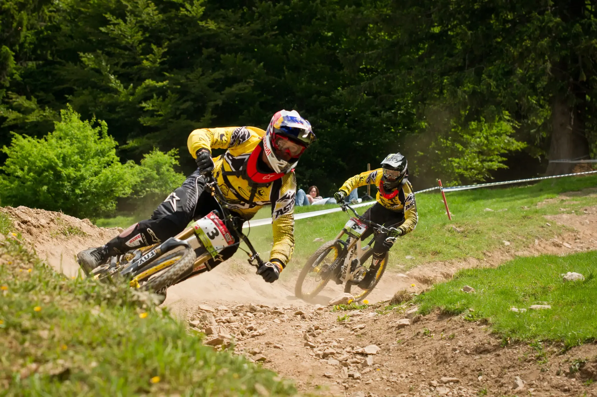
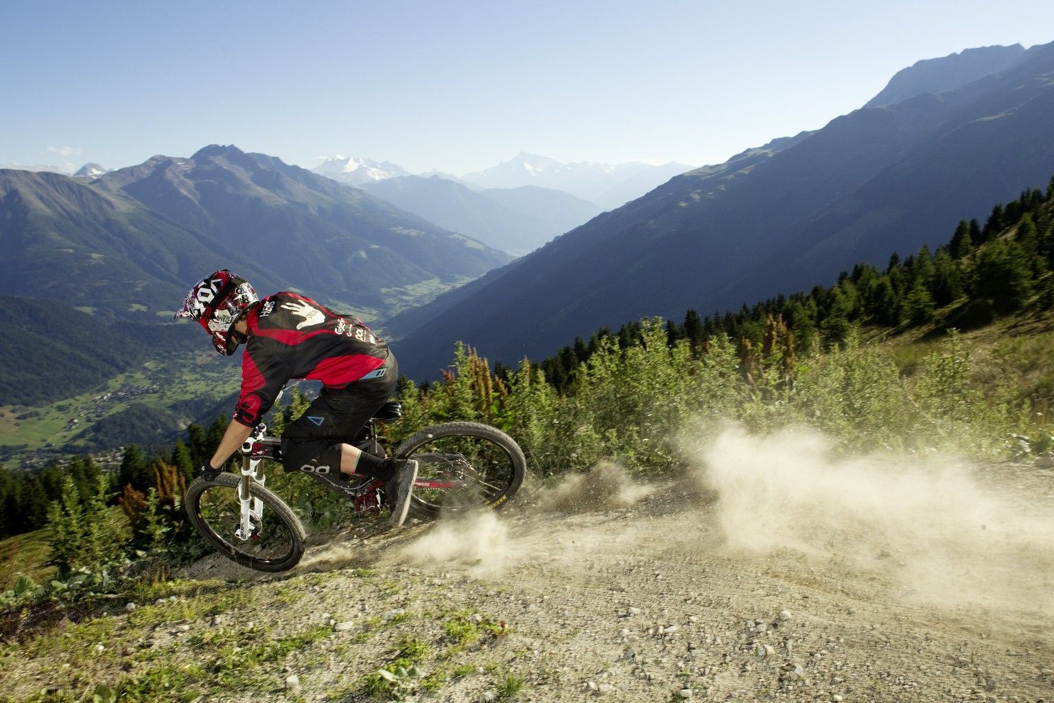
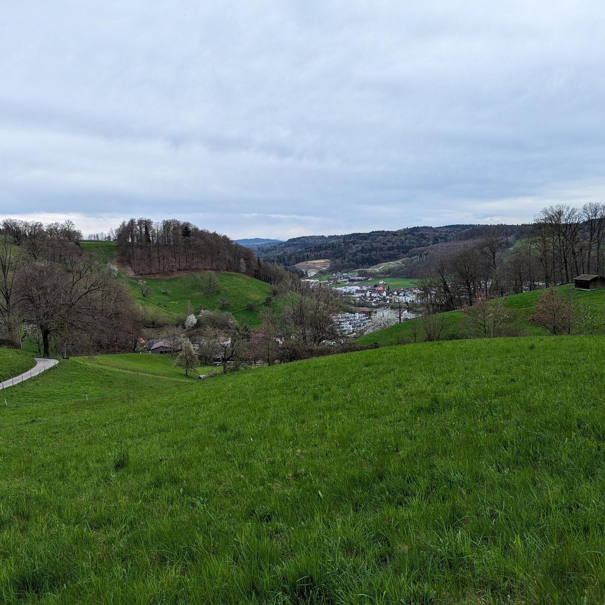
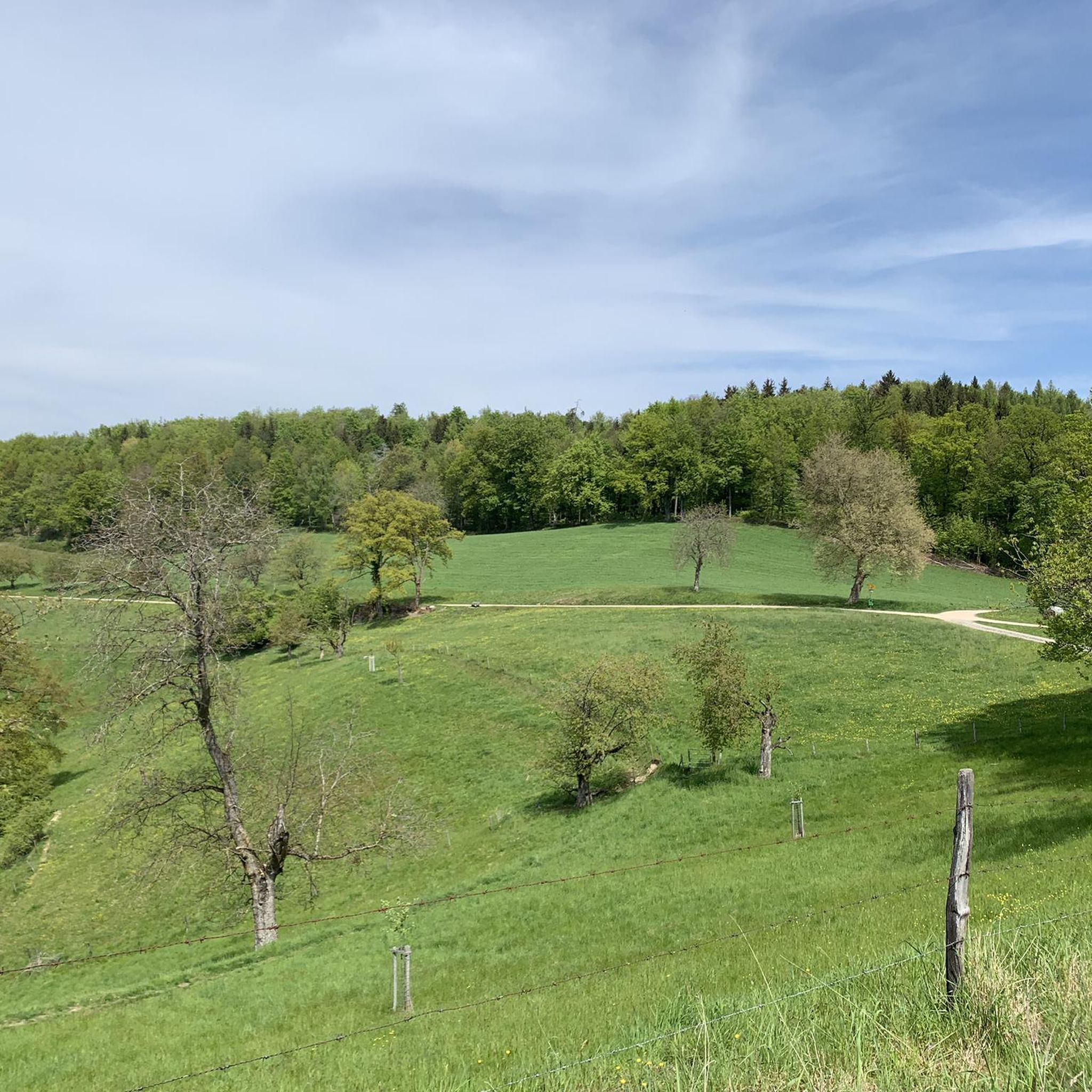
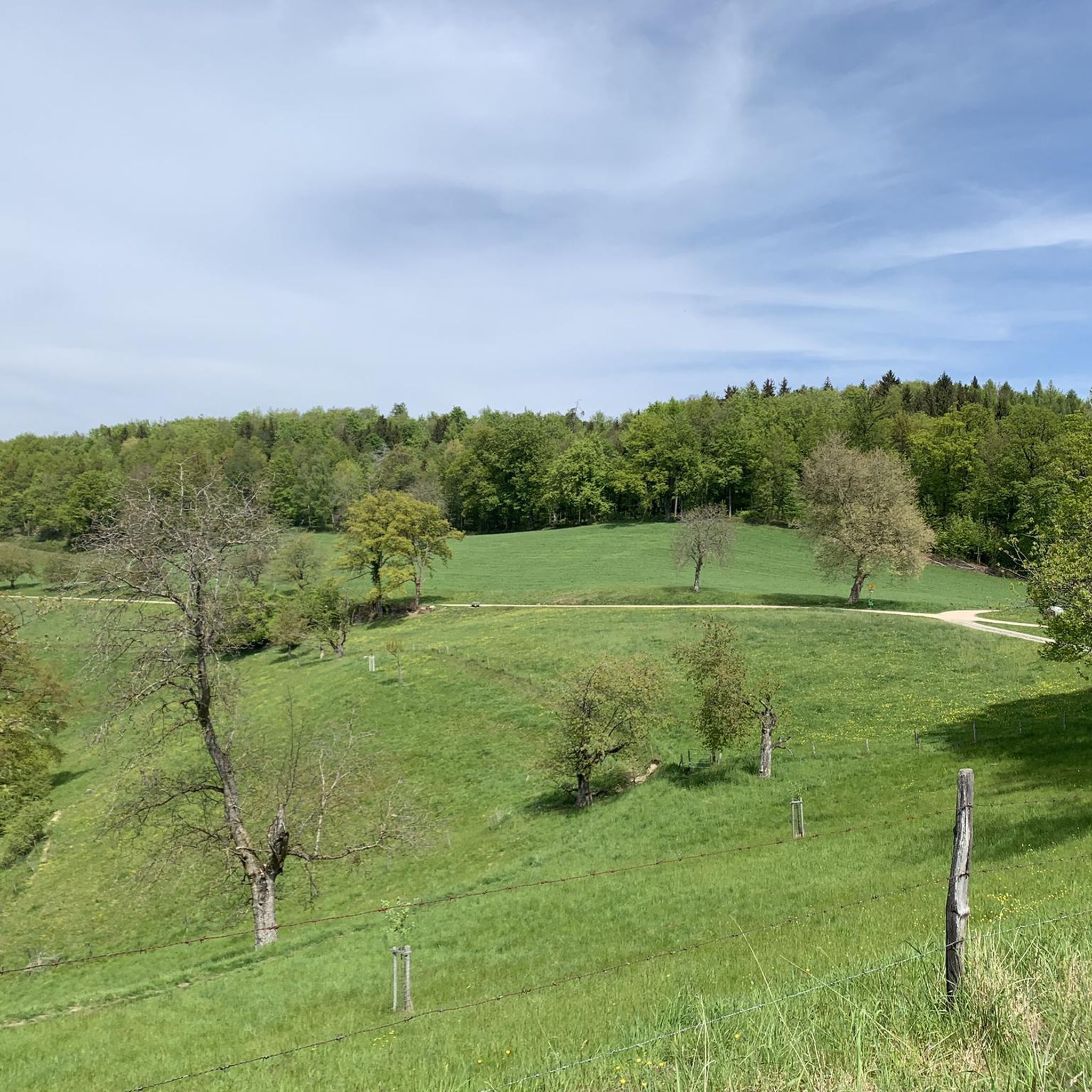
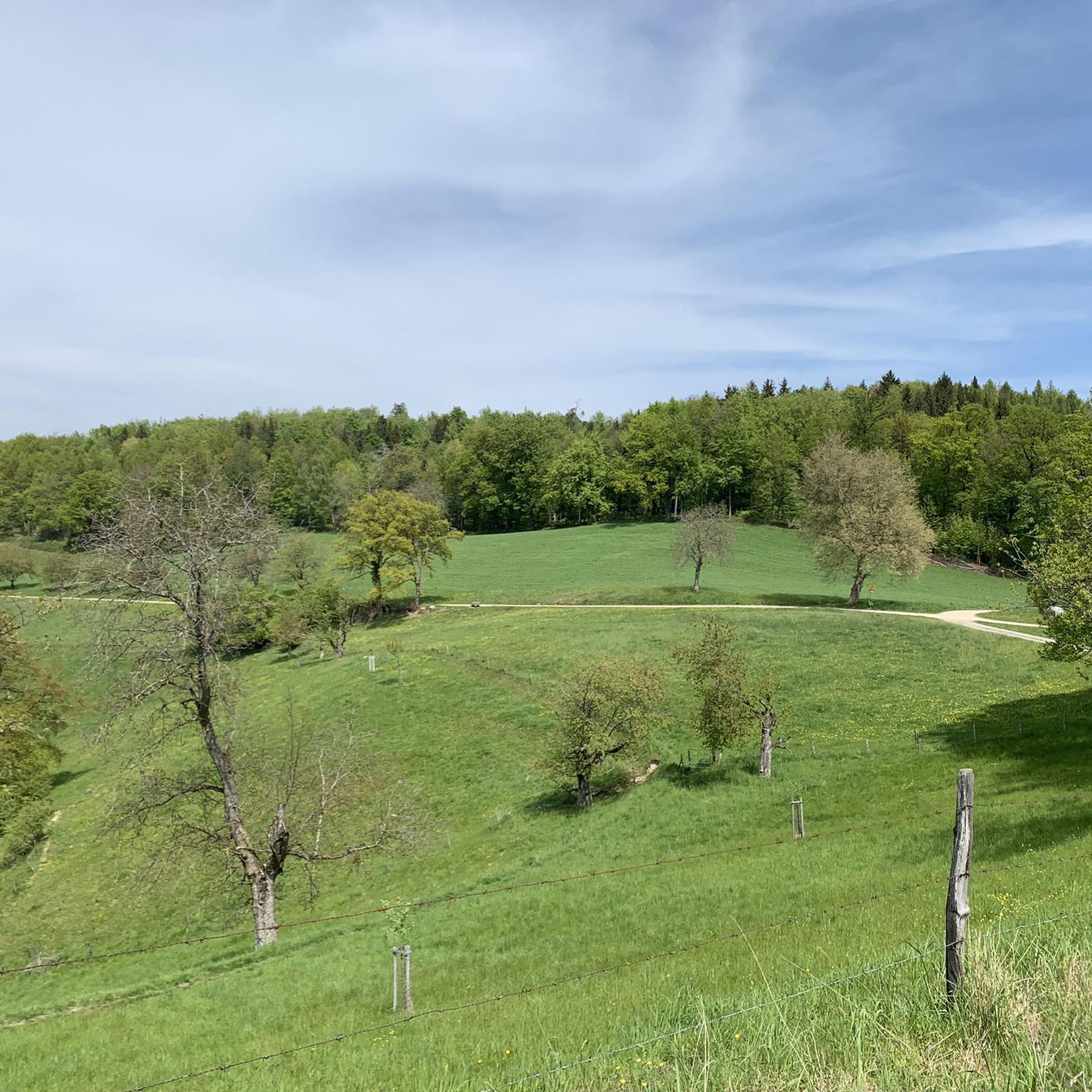
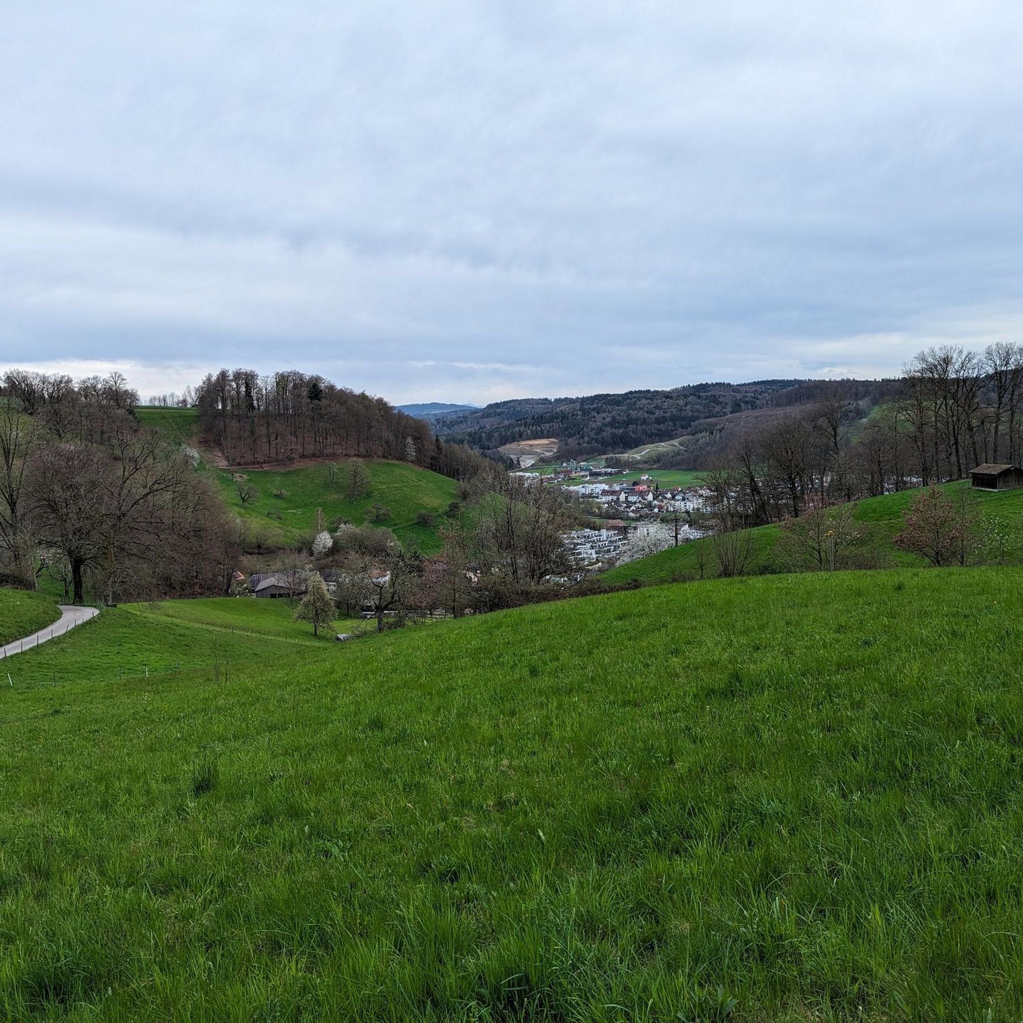
Other adventures around Gränichen

Tips from the Community

A historic castle mill from the 14th century is located right next to the "Hallwyl" castle. The mill is now a museum where guided tours are also held. There are plenty of parking spaces in the immediate vicinity (castle parking lot).
0
0

The Fünfweiher is popularly called Feufweier. It was created in the 16th century for fish farming and irrigating the lower meadows. Later, it served as a fire-fighting water reservoir for the city of Lenzburg. In May, entire schools of tadpoles frolic beneath its surface. We have never seen such a high population of tadpoles in our lives. The pond offers the opportunity for barbecues and picnics.
1
0


The lake is called Hallwilersee and lies in the valley. From the cycling route, you have a good view of this lake, further south the Baldeggersee, and even further on the horizon the Alps.
0
0

On Herzroute 599, view of the pass and surroundings 🤩
2
0

Beautiful hiking trail through forests or meadows along the Bünz
0
0

Open every Sunday from April 12th, 2026
0
0

Because it's simply beautiful there.
1
0
Frequently Asked Questions
How many gravel bike trails are available around Gränichen?
Gränichen offers an extensive network of over 200 gravel bike trails. These routes cater to various skill levels, with options ranging from moderate to challenging climbs through diverse terrain.
What kind of terrain can I expect on gravel bike trails in Gränichen?
The terrain around Gränichen is highly varied, featuring rolling hills, dense forests, and the picturesque Wyna River valley. You'll encounter significant elevation changes, with routes climbing from 402 meters up to 615 meters at peaks like Pfendel, offering both challenging ascents and rewarding descents. Over half of the area is forested, providing shaded trails and scenic routes.
Are there any family-friendly gravel bike trails in Gränichen?
While many routes offer challenging climbs, there are 13 easy-rated gravel bike trails around Gränichen suitable for families or those looking for a more relaxed ride. These routes often traverse the valley floor or less steep forested areas, providing a pleasant experience for all skill levels.
What are some notable landmarks or attractions I can see along the gravel bike trails?
Many gravel routes in Gränichen pass by interesting natural and historical sites. You might encounter the impressive Hallwyl Castle, explore the historic Aarau Old Town, or enjoy panoramic views from summits like Wasserflue or Gislifluh/Gisliflue. The Benkerjoch Pass also offers stunning valley vistas.
What is the best time of year for gravel biking in Gränichen?
Gränichen is suitable for gravel biking throughout much of the year. Spring and autumn offer pleasant temperatures and vibrant scenery, with the changing foliage in the extensive forests being particularly beautiful. Summer provides warm weather for longer rides, while winter can offer unique experiences on snow-covered trails, though some routes might be more challenging due to conditions.
Are there any loop gravel routes around Gränichen?
Yes, many of the gravel bike trails in Gränichen are designed as loops, allowing you to start and finish at the same point. An example is the challenging Zofingen Forest Trail – View of the Alps from Aargau loop from Muhen, which covers 42.4 km with significant elevation gain.
What is the difficulty level of gravel biking in Gränichen?
Gränichen offers a wide range of difficulties. While there are 13 easy routes, the majority are moderate (97 routes) or difficult (104 routes). You can find routes with extensive climbs, such as the Benkerjoch Pass – View of Schenkenberg Valley loop from Suhr, which features over 1000 meters of elevation gain, as well as more gentle rides along the Wyna River valley.
What do other gravel bikers enjoy most about Gränichen?
The area is highly rated by the komoot community, with an average score of 4.3 stars from over 270 reviews. Reviewers often praise the diverse terrain, the blend of open agricultural land and dense forests, and the rewarding climbs that offer panoramic views of the Wynental and beyond.
Are there any specific facilities for improving biking technique in Gränichen?
Yes, Gränichen is home to a dedicated Bike Skills Trail/Bike Educational Trail. This facility features over 20 stations with natural and man-made obstacles like technical root sections, a small North Shore, tight hairpin bends, rock gardens, jumps, drops, and steep wall curves. It's designed for all skill levels, from beginners to pros, and parts of it overlap with an international mountain bike race route, making it excellent for refining gravel biking skills.
Can I find routes that offer views of the Alps from Gränichen?
Yes, some of the higher elevation routes and viewpoints around Gränichen can offer distant views of the Alps on clear days. For instance, the Zofingen Forest Trail – View of the Alps from Aargau loop from Muhen is known for its scenic vistas, including potential glimpses of the Alps.
Are there any routes that pass through significant forest areas?
Absolutely. A substantial portion of Gränichen (56.7%) is covered by forests, including natural forest reserves like Pfendel, Surberg, and Häbiger. Many gravel routes, such as the Böhler Pass – Rütihof Trail loop from Suhr, wind through these dense woodlands, providing shaded trails and a serene riding experience.
Most popular attractions around Gränichen

Get inspired with the komoot mobile app


Explore more
Browse the best Gravel rides in other regions.
