The best walks and hikes around Cazarilh
4.5
(248)
1,701
hikers
84
hikes
Hiking around Cazarilh offers access to the majestic Pyrenean massif, characterized by panoramic views, numerous mountain passes, and picturesque lakes. The terrain features significant summits and impressive cirques, including the renowned Cirque de Gavarnie. This region provides a diverse landscape for hikers, from challenging mountain ascents to serene lake walks, with elevations varying across its many trails.
Best hiking trails around Cazarilh
- The most popular hiking route is Cascade du Gouffre de Saoule loop from Mauléon-Barousse, a 6.1 miles…
Last updated: August 28, 2026
4.9
(13)
104
hikers
Moderate hike. Good fitness required. Easily-accessible paths. Suitable for all skill levels.
4.7
(3)
18
hikers
11.1km
03:37
470m
480m
Moderate hike. Good fitness required. Easily-accessible paths. Suitable for all skill levels.

Sign up for free
4.8
(6)
16
hikers
8.16km
02:35
300m
290m
Moderate hike. Good fitness required. Mostly accessible paths. Sure-footedness required.
4.0
(1)
61
hikers
14.3km
05:36
1,000m
1,000m
Hard hike. Very good fitness required. Sure-footedness, sturdy shoes and alpine experience required.
5.0
(1)
23
hikers
Moderate hike. Great for any fitness level. Mostly accessible paths. Sure-footedness required.
Get access to more routes and recommendations from other explorers.
Sign up for free
Already have an account?
Our route recommendations are based on thousands of hikes, rides, and runs completed by other people on komoot.
Start today with a free account
Your next adventure awaits.
Login or Signup

Tips from the Community

A family-friendly hike or mountain bike ride around the world, very easy level. For an exceptional viewpoint.
0
0

Magnificent tree in the middle of the Village
0
1

Small and very pretty town at the foot of Port Balès. It is worth stopping at the town fountain to take a breather before the climb to Port de Balès.
0
0

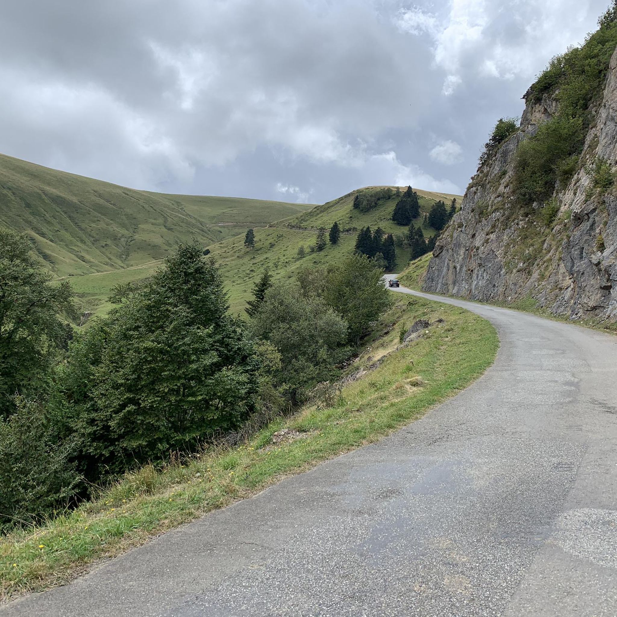
The pretty little village of Mauléon-Barousse marks the start of the ascent towards the port of Balès. The climb is 18.9 kilometers long with an average of 6.3%, some of which exceed 14%.
2
0

Hike worth the detour. Different car parks at different altitudes to make the exit more difficult.
1
0

Mauléon- Barousse marks the end of the first part of the low-sloping pass and the start of the steeper slopes.
1
0

Very helpful then nothing more comes up.
2
0
Frequently Asked Questions
What kind of hiking trails can I expect around Cazarilh?
Cazarilh offers a diverse range of hiking trails, from moderate walks to challenging ascents, set against the stunning backdrop of the Pyrenean massif. You'll find varied terrain including hills, valleys, and dramatic mountain passes. The region boasts 38 easy, 39 moderate, and 11 difficult trails, ensuring options for all skill levels.
Are there challenging hikes for experienced trekkers near Cazarilh?
Yes, for experienced trekkers, Cazarilh provides challenging routes with significant elevation gains and panoramic views. One such demanding option is the Tourroc Peak loop from Sacoué, which features nearly 1,000 meters of ascent over 12.5 kilometers. The broader Pyrenean region also offers high-altitude treks and ridge walks, such as the 'Circular route of Cap de Salières from Cazarilh-Laspènes' mentioned in regional research, providing extensive views of the massif.
What natural features and landmarks can I see while hiking near Cazarilh?
Hiking around Cazarilh allows you to discover a variety of natural features and landmarks. You can explore significant mountain passes like Col des Ares, enjoy views from summits such as Gar Peak, and visit serene spots like Lake Saint-Pé-d'Ardet. The region is also known for its diverse topography, including glacial cirques and deep gorges.
Are there any trails that feature waterfalls near Cazarilh?
Yes, the region around Cazarilh is home to beautiful water features. A popular trail that leads to a notable waterfall is the Mauléon-Barousse – Cascade du Gouffre de Saoule loop from Mauléon-Barousse. This 9.9 km route takes approximately 3 hours to complete and is a favorite among local hikers.
Are there family-friendly hiking options around Cazarilh?
While specific family-friendly routes are not detailed, the region offers 38 easy trails that are generally suitable for families. These trails often explore the local valleys and foothills, providing less strenuous options for a pleasant outing with children. Always check the route details for distance and elevation to ensure it matches your family's capabilities.
Can I bring my dog on the hiking trails near Cazarilh?
Many trails in the Pyrenees are dog-friendly, but regulations can vary, especially within protected areas like the Pyrénées National Park. It's always best to keep your dog on a leash and check specific trail rules or local signage. For general hikes outside strict protected zones, dogs are usually welcome, allowing you to enjoy the natural beauty with your canine companion.
What is the best time of year to hike in Cazarilh?
The best time to hike in Cazarilh generally depends on the type of experience you're seeking. Spring and autumn offer pleasant temperatures and vibrant scenery, with fewer crowds. Summer is ideal for higher-altitude treks, though trails can be busier. Winter hiking is possible, especially on lower-elevation routes, but requires appropriate gear and awareness of snow conditions.
Are there circular hiking routes available in Cazarilh?
Yes, Cazarilh and its surroundings offer several circular hiking routes. For example, the Mauléon-Barousse – Cascade du Gouffre de Saoule loop from Ferrère is a moderate 8.1 km circular path that explores local valleys. Another option is the Mauléon-Barousse – Château de Bramevaque loop from Mauléon-Barousse, a 9.3 km trail through varied terrain.
What do other hikers enjoy most about hiking in Cazarilh?
The hiking trails around Cazarilh are highly rated by the komoot community, with an average score of 4.5 stars from over 200 reviews. Hikers often praise the breathtaking panoramic views of the Pyrenean massif, the diverse and well-maintained paths, and the opportunity to explore varied terrain, from serene valleys to challenging mountain passes.
Are there any historical sites or cultural attractions accessible via hiking trails?
Yes, beyond natural beauty, you can discover historical sites. The Mauléon-Barousse – Château de Bramevaque loop from Bramevaque, for instance, takes you through an area where you can explore the local heritage. Additionally, the Saint-Just Church of Valcabrère is a notable religious building in the vicinity that can be visited.
Is public transport available to reach hiking trailheads in Cazarilh?
While specific public transport options directly to every trailhead in Cazarilh may be limited due to its rural setting, regional bus services might connect to larger towns nearby. For many trails, especially those starting in smaller villages, driving and parking are often the most convenient options. It's advisable to check local transport schedules if you plan to rely on public transport.
Most popular attractions around Cazarilh

Get inspired with the komoot mobile app


Explore more
Browse the best Hikes in other regions.
