The best MTB trails around Cazarilh
3.9
(82)
340
riders
52
rides
Mountain bike trails around Cazarilh navigate a landscape characterized by varied elevations, including mountain passes and valleys. The region offers a mix of challenging ascents and descents, often through forested areas and open terrain. This diverse topography provides a range of mountain biking experiences for different skill levels.
Best mountain bike trails around Cazarilh
- The most popular mountain bike trail is Rolling sunken path. – Col des Ares loop from Saléchan - Siradan, a 27.7 miles (44.5 km) trail…
Last updated: July 2, 2026
4.7
(6)
28
riders
44.5km
04:21
1,160m
1,160m
Hard mountain bike ride. Very good fitness required. Advanced riding skills necessary.
5.0
(4)
8
riders
17.6km
01:34
470m
470m
Moderate mountain bike ride. Good fitness required. Advanced riding skills necessary.

Sign up for free
3.7
(3)
7
riders
22.1km
02:16
710m
710m
Moderate mountain bike ride. Good fitness required. Suitable for all skill levels.
4.3
(3)
9
riders
13.5km
01:28
480m
480m
Moderate mountain bike ride. Good fitness required. Suitable for all skill levels.
4.3
(3)
6
riders
37.5km
02:30
500m
500m
Moderate mountain bike ride. Good fitness required. Suitable for all skill levels.
Get access to more routes and recommendations from other explorers.
Sign up for free
Already have an account?
Our route recommendations are based on thousands of hikes, rides, and runs completed by other people on komoot.
Start today with a free account
Your next adventure awaits.
Login or Signup

Tips from the Community

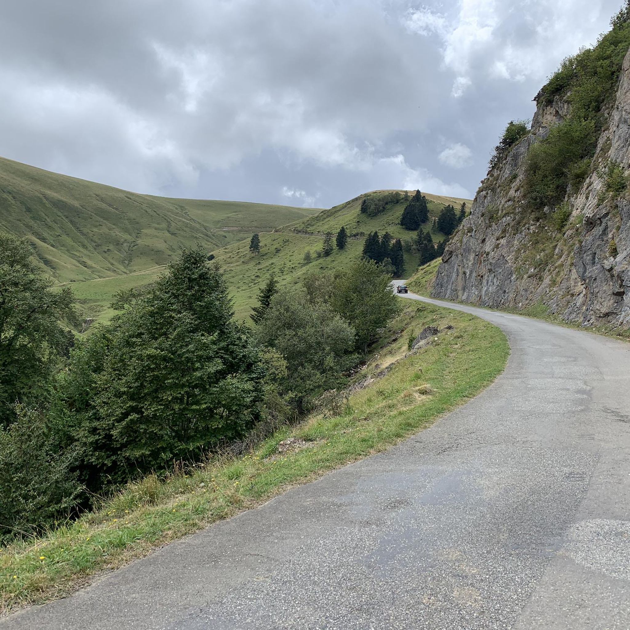
A beautiful transitional port between the Le Ger river valley and the Garonne river valley
0
0

Well done family!!! You are pros!!! It's in the genes. Kisses to all
0
0
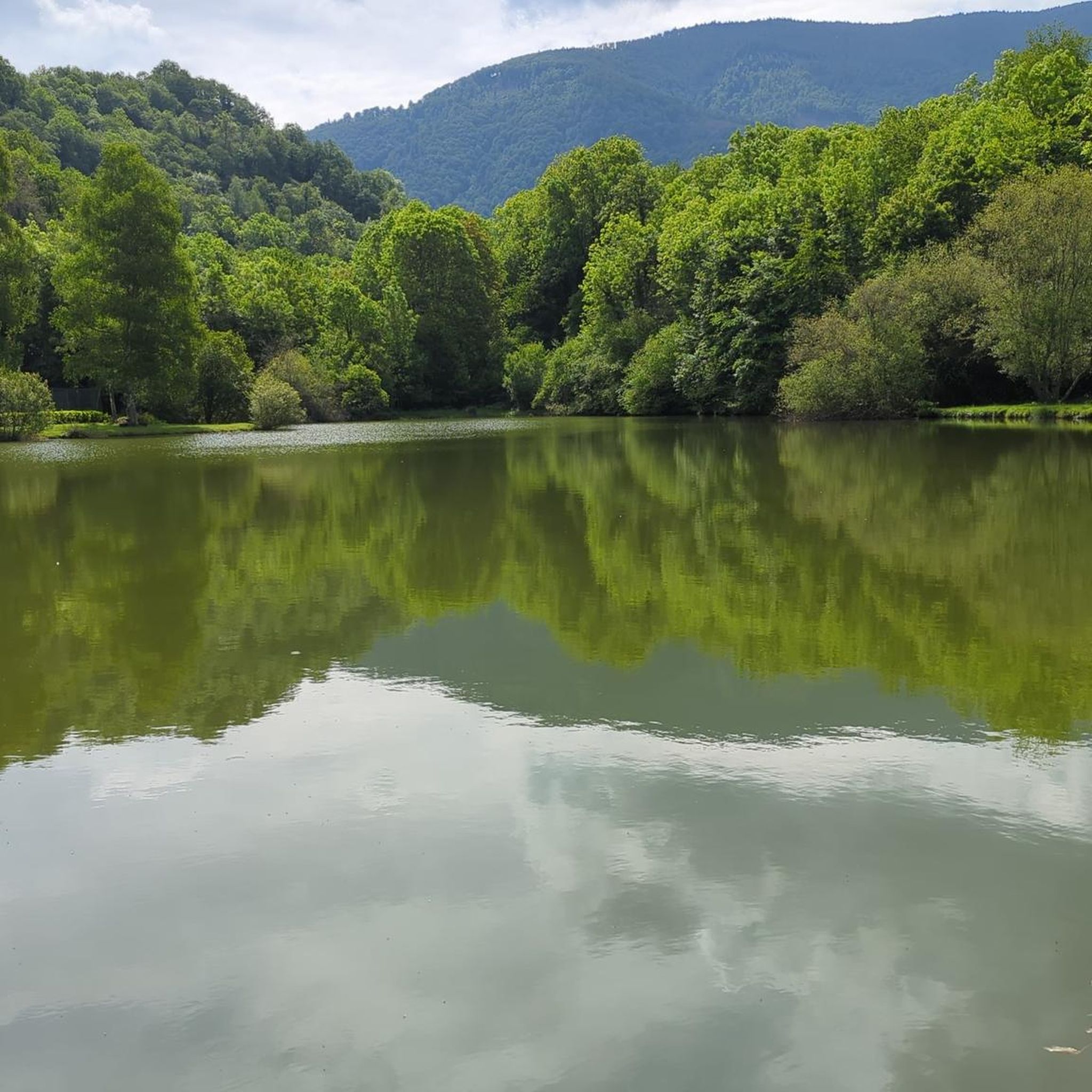
Very beautiful natural lake with picnic tables.
0
0

Small and very pretty town at the foot of Port Balès. It is worth stopping at the town fountain to take a breather before the climb to Port de Balès.
0
0

This pretty little lake in the Pyrenean foothills bears the name of the eponymous town which adjoins it. It is located on the heights of the Garonne, not far from its confluence with the Pique.
0
0

Magnificent view for the climb to the pass from Artichan-de-Frontignes, however I found the climb on the other side (from the Col de Buret) more interesting because it was a little longer.
0
0


Nice little pass between the Garonne valley and the Ger valley. More information: https://www.quaeldich.de/paesse/col-des-ares/
2
0
Frequently Asked Questions
How many mountain bike trails are available around Cazarilh?
There are over 50 mountain bike trails around Cazarilh, catering to various skill levels. This includes 8 easy routes, 28 moderate routes, and 16 difficult routes, ensuring options for everyone from beginners to experienced riders.
Are there easy mountain bike trails suitable for beginners in Cazarilh?
Yes, Cazarilh offers 8 easy mountain bike trails. These routes typically feature less challenging terrain and elevation changes, making them ideal for beginners or those looking for a more relaxed ride. Look for trails with shorter distances and gentler gradients.
What kind of challenges can advanced mountain bikers expect in Cazarilh?
Advanced mountain bikers will find 16 difficult trails around Cazarilh. These routes often feature significant elevation changes, technical descents, and varied surfaces. For example, the Rolling sunken path. – Col des Ares loop from Saléchan - Siradan is a challenging 27.7-mile route with over 1,100 meters of ascent.
Are there family-friendly mountain bike trails in Cazarilh?
While specific 'family-friendly' designations aren't always explicit, the 8 easy routes available around Cazarilh are generally suitable for families with older children or those new to mountain biking. These trails offer a good introduction to the region's landscape without overly strenuous demands.
When is the best time of year for mountain biking in Cazarilh?
The best time for mountain biking in Cazarilh is typically from spring through autumn (April to October). During these months, the weather is generally milder, and trails are less likely to be affected by snow or heavy rain, offering optimal riding conditions.
What are the winter conditions like for mountain biking in Cazarilh?
Winter conditions in Cazarilh can vary. Higher elevation trails may be covered in snow or ice, making them impassable or very challenging. Lower routes might still be rideable, but expect colder temperatures, potentially muddy sections, and shorter daylight hours. Always check local weather and trail conditions before heading out.
Are there loop mountain bike trails available in Cazarilh?
Yes, many mountain bike trails in Cazarilh are designed as loops, allowing you to start and finish at the same point. Examples include the moderate Rolling sunken path. – Col des Ares loop from Chaum and the difficult Mauléon-Barousse – Col de l'Esclette loop from Mauléon-Barousse.
What do other mountain bikers enjoy the most about mountain biking in Cazarilh?
The mountain bike trails around Cazarilh are highly rated by the komoot community, with an average score of 4.0 stars from over 100 reviews. Riders often praise the varied terrain, the challenging ascents and descents, and the scenic beauty of the forested areas and valleys.
What is the typical length of mountain bike trails around Cazarilh?
The lengths of mountain bike trails in Cazarilh vary significantly. You can find shorter routes, but many popular trails range from 13 to over 27 miles (22 to 44 km). For instance, the Rolling sunken path. – Col des Ares loop from Chaum is 13.7 miles, while the Rolling sunken path. – Col des Ares loop from Saléchan - Siradan is 27.7 miles.
Are mountain bike trails in Cazarilh dog-friendly?
Many outdoor trails in the Cazarilh region are generally dog-friendly, especially if your dog is well-behaved and kept on a leash. However, it's always recommended to check specific trail regulations or local signage, particularly in protected areas or during certain seasons, to ensure dogs are permitted.
What interesting landmarks can I see along mountain bike trails near Cazarilh?
While riding mountain bike trails near Cazarilh, you might encounter several notable landmarks. These include natural features like Gar Peak and Col des Ares. You could also explore cultural sites such as the Saint-Just Church of Valcabrère or the serene Lake Saint-Pé-d'Ardet.
Are there any mountain bike trails that pass by lakes or water features?
Yes, some mountain bike routes in the Cazarilh area incorporate water features. For example, the Lac de Géry – Tour en Frontignes loop from Saléchan - Siradan offers views of Lac de Géry, providing a scenic element to your ride.
Most popular attractions around Cazarilh

Get inspired with the komoot mobile app


Explore more
Browse the best MTB trails in other regions.
