The best walks and hikes around Asson
4.4
(888)
7,633
hikers
187
hikes
Hiking around Asson provides access to varied terrain, from challenging mountain peaks and cols to more accessible paths near lakes. The landscape is characterized by significant elevation changes, with routes ascending to summits and traversing valleys. This area offers a network of trails suitable for different hiking preferences.
Best hiking trails around Asson
- The most popular hiking route is Pic de l'Estibète loop from Col de Spandelles, a 3.3 miles (5.3 km) trail that takes 2 hours 41 minutes…
Last updated: June 25, 2026
5.0
(1)
40
hikers
5.30km
02:41
450m
450m
Moderate hike. Good fitness required. Mostly accessible paths. Sure-footedness required.
3.0
(1)
17
hikers
9.74km
03:45
680m
680m
Moderate hike. Good fitness required. Easily-accessible paths. Suitable for all skill levels.

Sign up for free
2.0
(1)
17
hikers
13.5km
05:22
1,000m
1,000m
Hard hike. Very good fitness required. Easily-accessible paths. Suitable for all skill levels.
5.0
(1)
14
hikers
20.4km
07:26
1,220m
1,220m
Hard hike. Very good fitness required. Easily-accessible paths. Suitable for all skill levels.
4.0
(3)
23
hikers
6.92km
01:46
30m
30m
Easy hike. Great for any fitness level. Easily-accessible paths. Suitable for all skill levels.
Get access to more routes and recommendations from other explorers.
Sign up for free
Already have an account?
Our route recommendations are based on thousands of hikes, rides, and runs completed by other people on komoot.
Start today with a free account
Your next adventure awaits.
Login or Signup

Tips from the Community


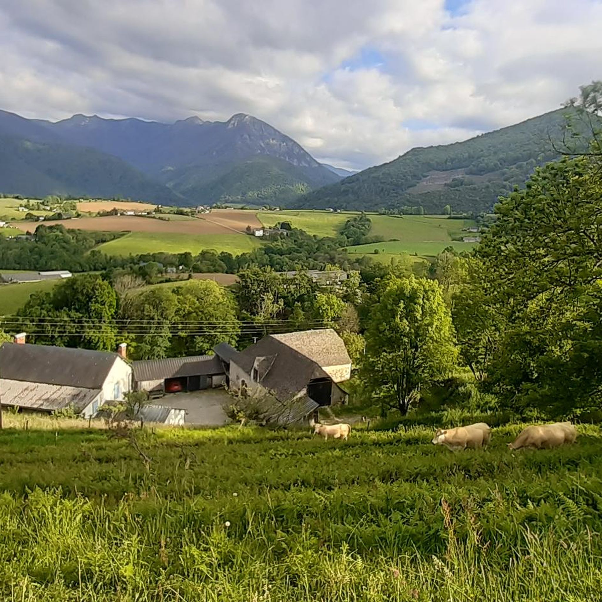
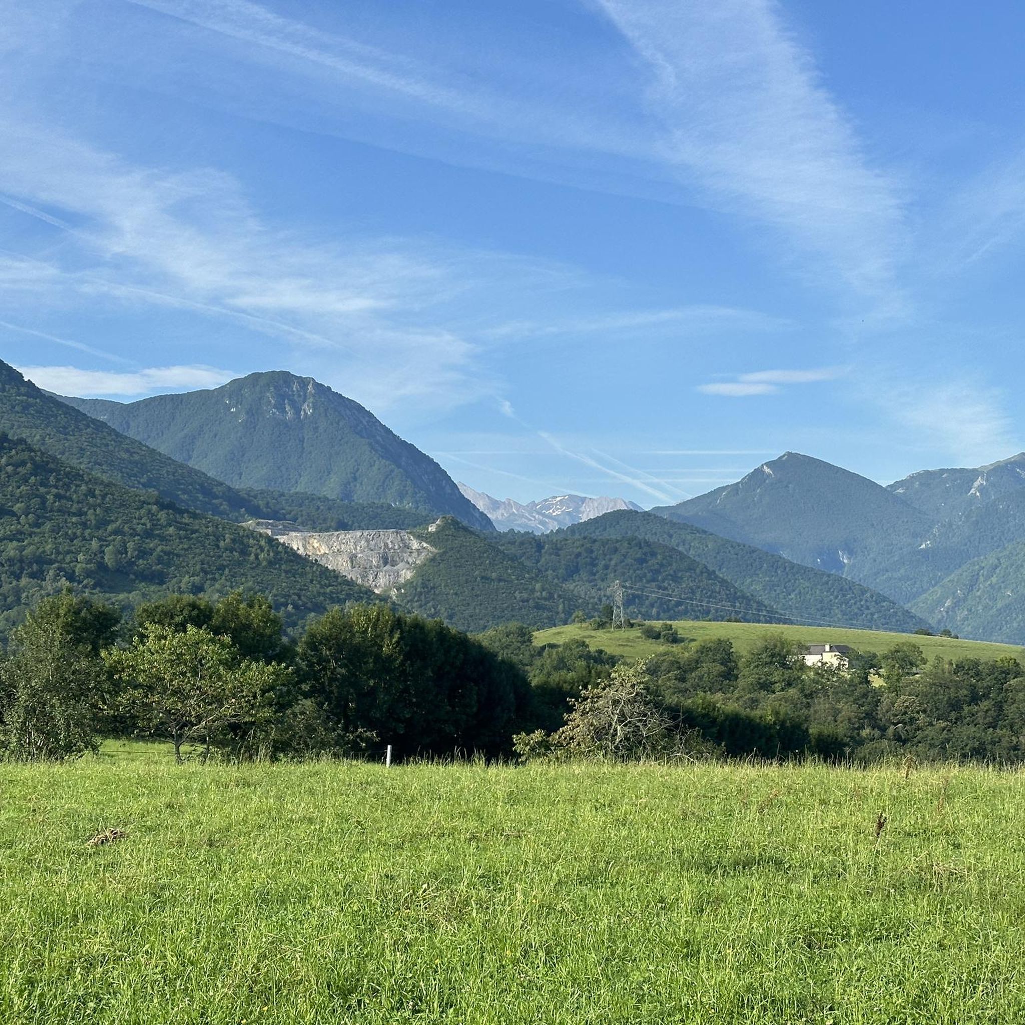
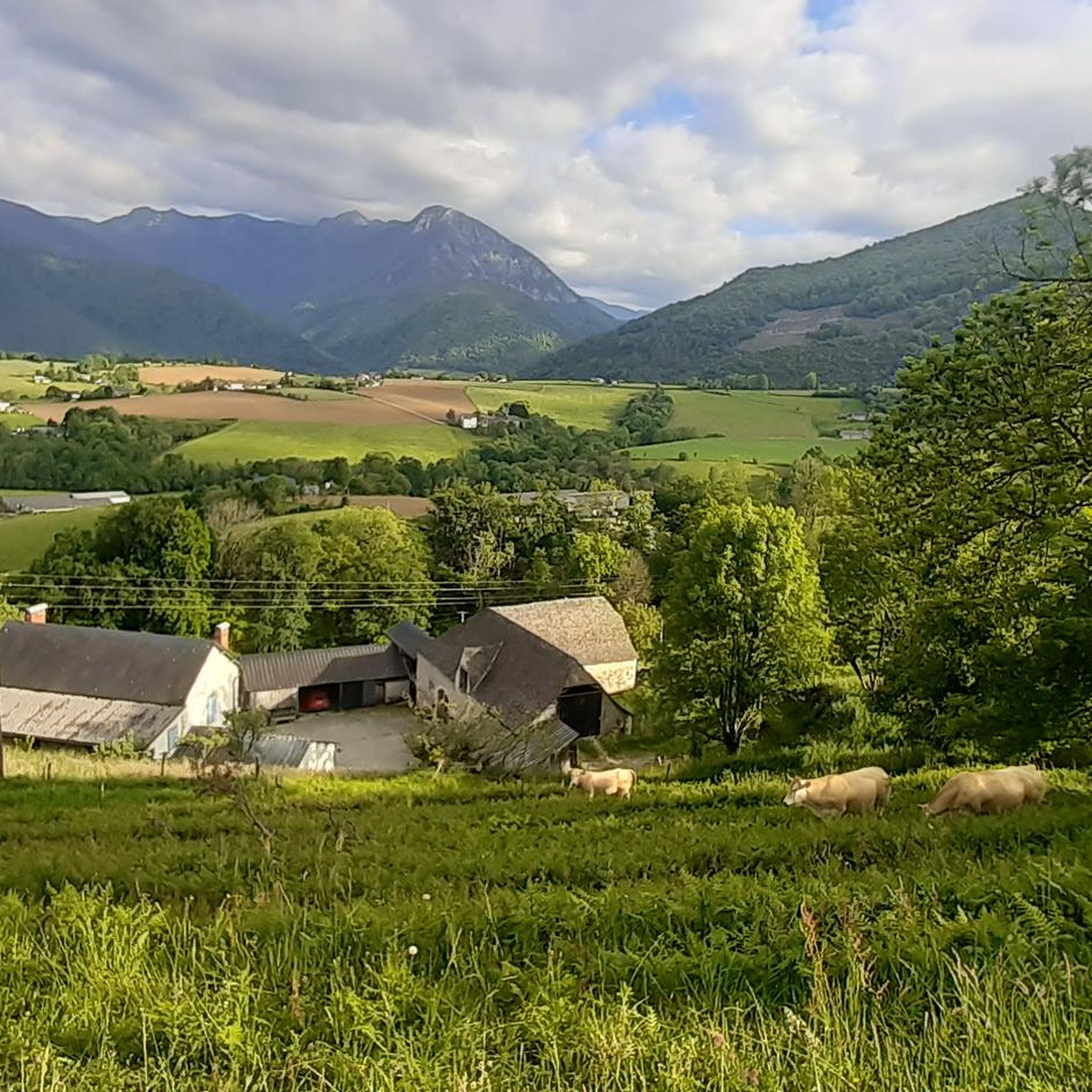
Beautiful viewpoint overlooking the plain and Arthez d'Asson. Follow the track from Pedehourat to get there or through the forest from Arthez d'Asson. Continue the track to reach the Pic du Merdanson.
0
0
Magnificent panorama at the foot of the Pic du Merdanson.
1
0
Superb viewpoint over the Ouzoum Valley. At the foot of the Pic du Merdanson. 360° panorama
0
0

Edge of the wooded and calm Gave
0
1

Beautiful demanding hike with fabulous landscapes
1
0
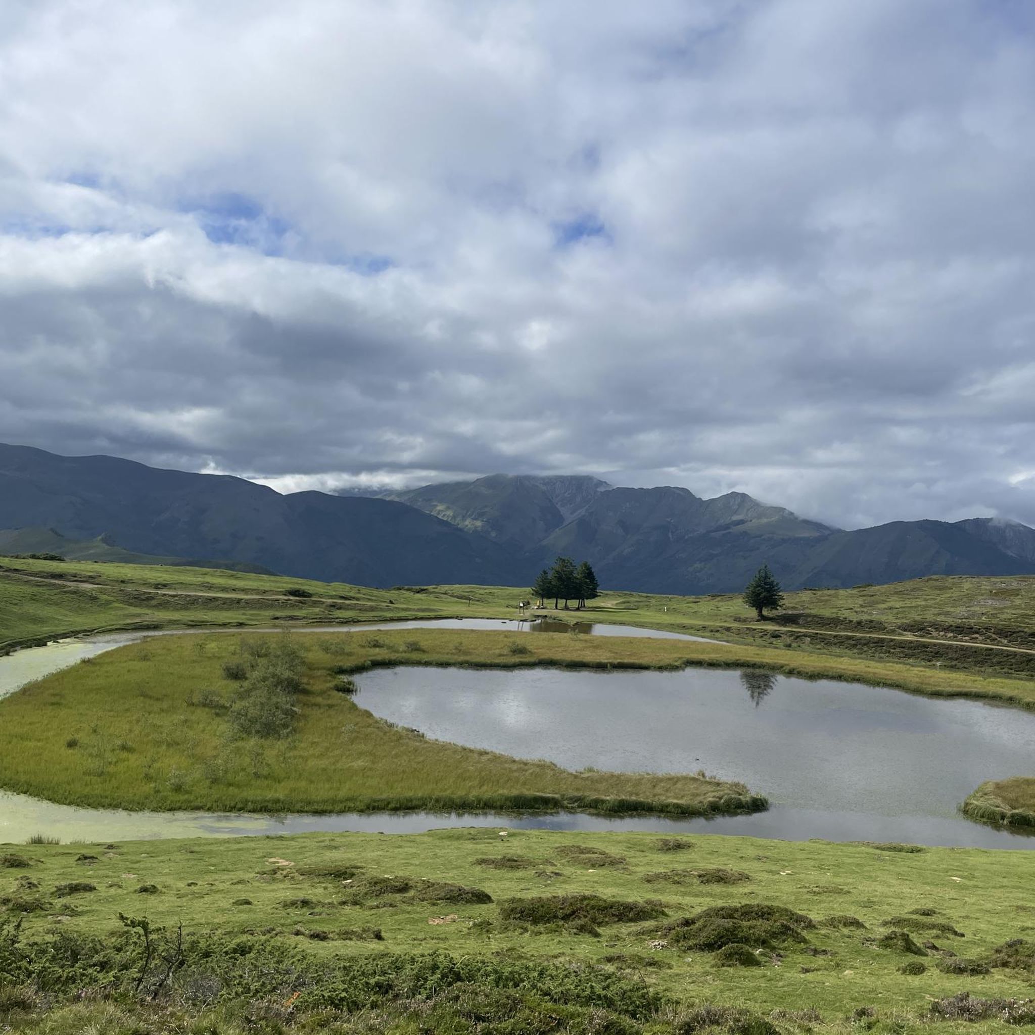
Hike from the Col de Spandelles. Sloping passage in the wood then from the pass path on a well marked slope. The slope is well supported with delicate passages. The peak of Estibété is reached by putting your hands a little. Panorama guaranteed!
0
0

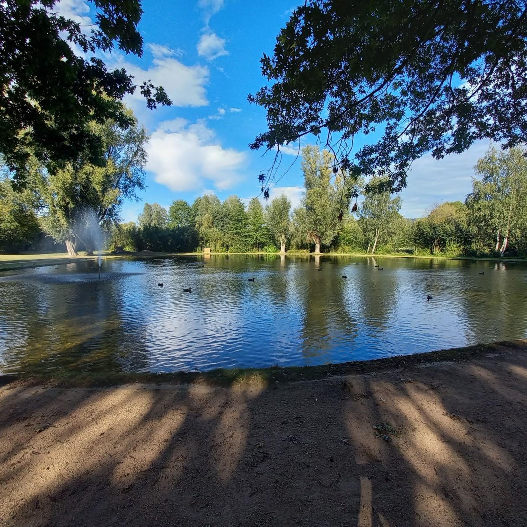
Small gravel section on the shores of Lake Baudreix to join cycle route 81
0
1
Frequently Asked Questions
How many hiking trails are available around Asson?
There are over 180 hiking trails around Asson, offering a wide variety of options. These include 52 easy routes, 92 moderate trails, and 39 difficult paths, catering to different skill levels and preferences.
Are there easy hiking trails suitable for beginners in Asson?
Yes, Asson offers several easy hiking trails perfect for beginners. An excellent option is the Gravel Path by Lac de Baudreix loop from Nay, an easy 4.4 miles (7.2 km) path that follows a gravel path around a lake, providing flat terrain and scenic water views.
Can I find circular hiking routes in Asson?
Many trails around Asson are designed as circular routes. For example, the Col de Nabails loop from Arthez-d'Asson is a popular 6.0 miles (9.6 km) circular trail that takes you through varied terrain, including a mountain pass. Another option is the challenging Pic de l'Estibète loop from Col de Spandelles.
What kind of natural attractions can I see while hiking near Asson?
The hiking trails around Asson offer access to various natural attractions. You can explore mountain peaks like Mount de Gez and Alian Peak, or discover stunning viewpoints such as the Soulor Panorama. The region is also known for its mountain passes, including Col de Couret and Col du Soulor.
Are there any historical sites accessible via hiking trails?
Yes, you can encounter historical sites while hiking in the area. A notable example is the Dolmen de Peyre Duset on the Chemin Henri IV, which offers a glimpse into the region's past as you traverse the trails.
What do other hikers say about the trails in Asson?
The trails in Asson are highly regarded by the komoot community, with an average rating of 4.4 stars from over 1000 reviews. Hikers often praise the varied terrain, from challenging mountain ascents to serene lakeside paths, and the well-maintained network of trails suitable for different ability levels.
What is the typical duration of hikes in Asson?
Hikes in Asson vary significantly in duration depending on the route and your pace. Shorter, easier trails like the Gravel Path by Lac de Baudreix loop from Nay can take around 1 hour 50 minutes. More challenging routes, such as the Pas de Broc Peak loop from Moncaut, can extend to over 5 hours.
Are there options for more challenging or difficult hikes in Asson?
Absolutely. Asson is known for its significant elevation changes and offers 39 difficult routes for experienced hikers. The Merdanson Peak loop from Arthez-d'Asson is a demanding 11.3 miles (18.1 km) trail with over 1100 meters of ascent, typically taking over 6 hours to complete.
Is there parking available at the trailheads in Asson?
While specific parking information for every trailhead isn't detailed, many popular routes in Asson, especially those starting from mountain passes like Col de Spandelles or villages such as Arthez-d'Asson, typically have designated parking areas nearby to accommodate hikers. It's always advisable to check route descriptions for specific parking recommendations.
Are dogs allowed on the hiking trails around Asson?
Generally, dogs are welcome on many hiking trails in the Asson region, especially on public footpaths. However, it's always recommended to keep them on a leash, especially in areas with livestock or protected wildlife. Specific restrictions might apply in certain nature reserves or national park areas, so checking local signage is advised.
What is the best time of year to go hiking in Asson?
The best time for hiking in Asson is typically from late spring to early autumn (May to October). During these months, the weather is generally mild and stable, and mountain passes are usually clear of snow. Summer offers warmer temperatures, while spring and autumn provide beautiful scenery with blooming wildflowers or vibrant foliage.
Can I find trails that offer scenic viewpoints?
Yes, the mountainous terrain around Asson provides numerous opportunities for scenic viewpoints. Many trails lead to or pass by stunning vistas, such as the Soulor Panorama, offering expansive views of the surrounding Pyrenean landscape. Routes that ascend peaks or mountain passes are particularly rewarding for panoramic sights.
Most popular attractions around Asson

Get inspired with the komoot mobile app


Explore more
Browse the best Hikes in other regions.
