The best MTB trails around Lambruisse
4.5
(81)
808
riders
34
rides
Mountain bike trails around Lambruisse are set within a quiet valley, surrounded by green meadows and wooded hills, providing a varied landscape for outdoor activities. The area is part of the Alpes-de-Haute-Provence region, known for its diverse natural features including impressive gorges, numerous lakes, and mountainous terrain. This geological richness offers a range of mountain biking experiences, from tranquil rides through valleys to more challenging routes in higher elevations.
Best mountain bike trails around Lambruisse
- The most popular mountain bike…
Last updated: July 8, 2026
7
riders
29.3km
02:42
700m
700m
Moderate mountain bike ride. Good fitness required. Suitable for all skill levels.
4.5
(4)
31
riders
43.8km
04:03
1,010m
1,010m
Hard mountain bike ride. Very good fitness required. Suitable for all skill levels.

Sign up for free
5.0
(1)
18
riders
81.5km
09:31
2,400m
2,400m
Hard mountain bike ride. Very good fitness required. Advanced riding skills necessary.
20
riders
45.5km
04:58
1,450m
1,450m
Hard mountain bike ride. Very good fitness required. Advanced riding skills necessary.
4.5
(2)
7
riders
32.4km
02:59
760m
760m
Moderate mountain bike ride. Good fitness required. Suitable for all skill levels.
Get access to more routes and recommendations from other explorers.
Sign up for free
Already have an account?
Our route recommendations are based on thousands of hikes, rides, and runs completed by other people on komoot.
Start today with a free account
Your next adventure awaits.
Login or Signup
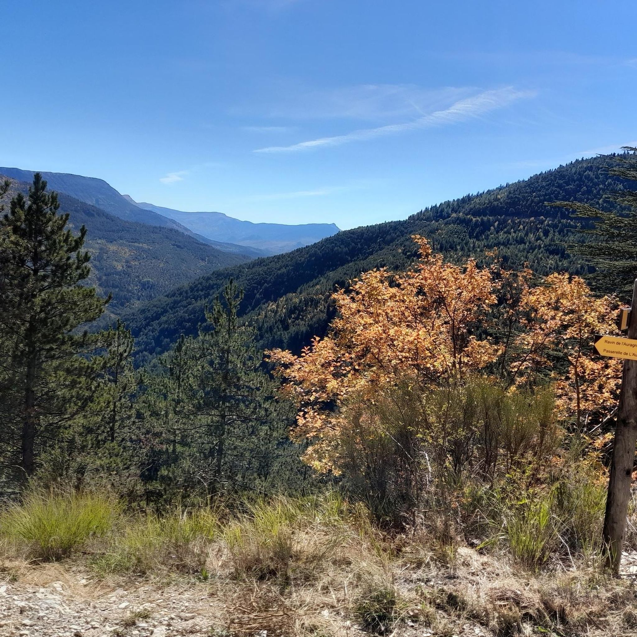
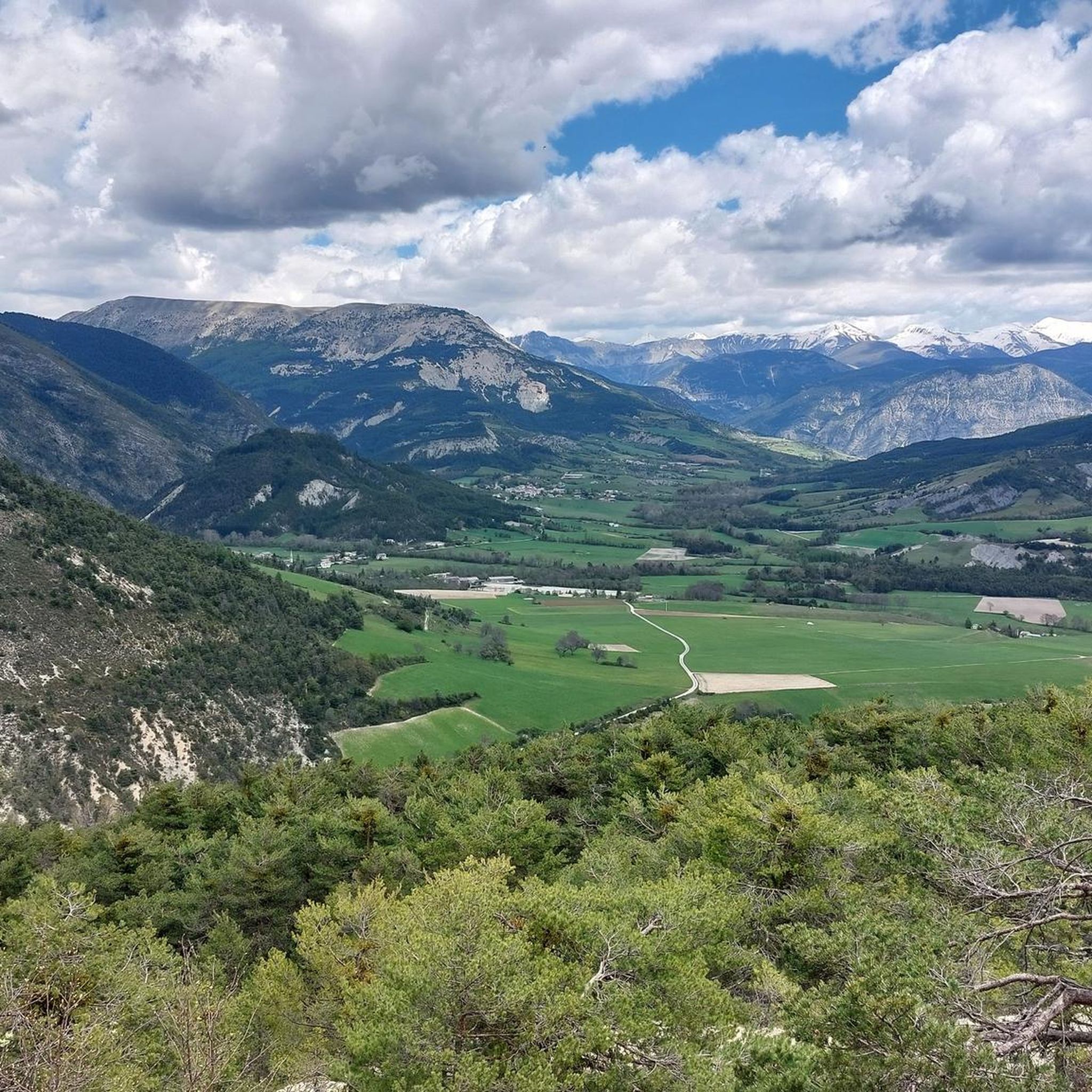
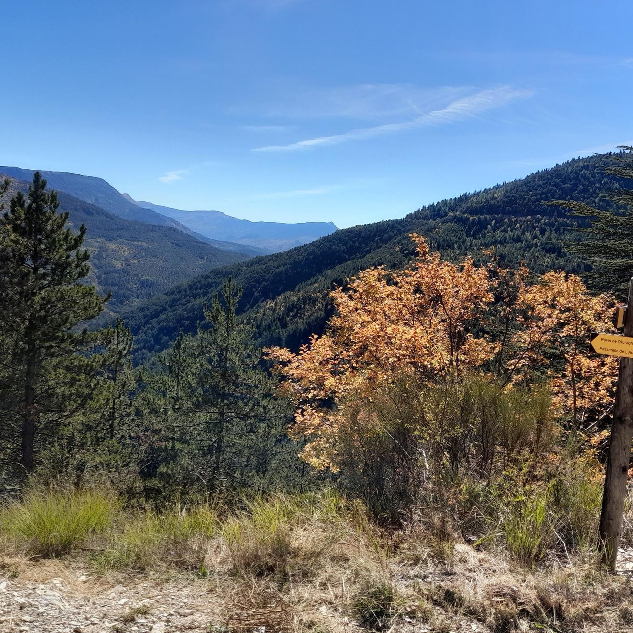
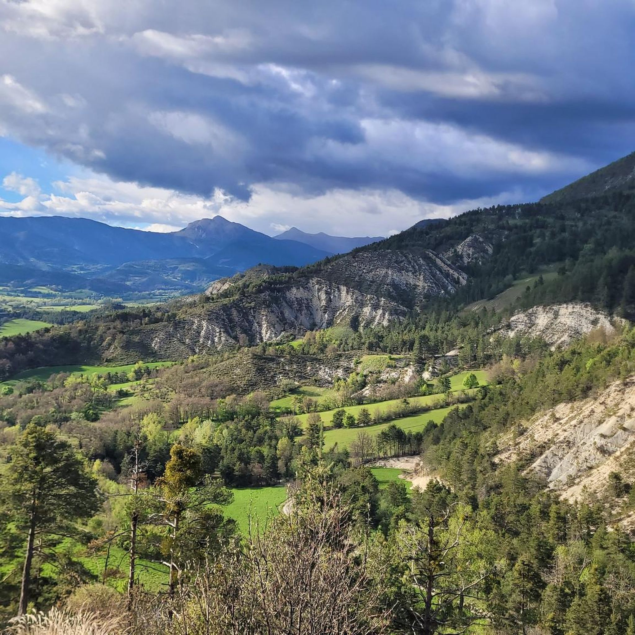
Tips from the Community

We never get tired of it! Superb long single, with hairpins not too difficult to be fun and long rails where we can pick up speed, all seasoned with autumn colors
0
0

Beautiful landscape, small road, only the last bends are strenuous.
3
0
Nice little place, small church and small passage.
0
0

The Col des Robines peaks at 988m and will allow you to climb to almost 1000m without making any effort because from Moriez you would have a slope of around 3km with a slope not exceeding 5% and on the Saint-André les Alpes side this will be shorter, around 1.5 km, but harder with an average of 6-7%. Be careful, however, of the often very heavy traffic on this pass because it is on the RN 202 which is HUGELY used almost all year round.
1
0

The path offers a breathtaking view of Le Petit Cordoeil. This is a renowned site for free flight and competitions at European level take place there.
0
0

On the western slope, after going up the long Asse de Clumanc Valley from Barrême, the difficulties really begin in Tartonne with a first ramp of 1.5 km at 6.5%. Then after a small flat area comes a nice final of 2.6 km where the slope will be around 7%. On this side you can see one of Andy Goldsworthy's sentinels, an ovoid-shaped cairn placed at the side of the road as part of an artistic trail created by this renowned artist practicing land art. On the eastern slope, nothing very complicated until Lambruisse with 5 km where the hardest passage will not exceed 4.5%. On the other hand, things become tougher with the final including 1.8 km at 6.5% on average, but the last 350 meters are at 8.5%. The road is very beautiful and quiet on both sides. This pass is enchanting.
2
0

Clumanc is a place a little out of time where time seems to have slowed down. Besides the ruins of a magnificent castle, you will find splendid landscapes and a beautiful church.
1
0
The ascent of the Col du Défens is on a good quality road with very little traffic, beautiful scenery and an easy climb on both sides. The icing on the cake is an egg-shaped sculpture by Andy Goldworthy that you will come across at some point.
1
0
Frequently Asked Questions
How many mountain bike trails are there in Lambruisse?
There are over 30 mountain bike trails around Lambruisse listed on komoot, offering a variety of experiences for different skill levels. These include routes through green meadows, wooded hills, and more challenging mountainous terrain.
What kind of terrain can I expect on mountain bike trails around Lambruisse?
The terrain around Lambruisse is quite varied, ranging from tranquil rides through green meadows and wooded hills in the valleys to more rugged, challenging routes in the mountainous areas. You'll encounter diverse landscapes, including impressive gorges and scenic lake views, reflecting the region's geological richness.
Are there any family-friendly mountain bike trails in Lambruisse?
While many trails in the region cater to moderate to difficult riders, some routes offer gentler gradients suitable for families. For example, the area around Lambruisse itself, with its quiet valleys and meadows, can provide less strenuous options. Always check the difficulty rating on komoot for specific routes to ensure it matches your family's skill level.
Can I bring my dog on the mountain bike trails in Lambruisse?
Many trails in the Alpes-de-Haute-Provence region are dog-friendly, especially those that pass through natural areas and less technical terrain. However, it's always advisable to keep your dog on a leash, especially in protected natural reserves or areas with livestock, and to check local regulations for specific trails. Ensure your dog is fit enough for the ride and carry water for them.
What natural features or landmarks can I see along the mountain bike trails?
The trails around Lambruisse offer access to stunning natural features. You can ride past the impressive The Geological Slides of the Haute-Provence Nature Reserve, or explore areas near the Col du Défens (1,230 m). The region is also known for its proximity to the Gorges du Verdon and several beautiful lakes like Lac de Castillon.
Are there any mountain bike trails that are loop routes?
Yes, many mountain bike trails around Lambruisse are designed as loops. For instance, the View of Lac de Castillon – View of Lac de Castillon loop from Saint-André les Alpes offers scenic views and is a popular loop. Another option is the Saint-André-les-Alpes – Col des Robines loop from La Mure, which features varied terrain.
What is the best time of year for mountain biking in Lambruisse?
The best time for mountain biking in Lambruisse is generally from spring to autumn (April to October). During these months, the weather is usually pleasant, and trails are dry. Summer can be hot, so early morning or late afternoon rides are recommended. Winter can bring snow to higher elevations, making some trails inaccessible, but lower valley routes might still be rideable on clear days.
Are there any long-distance or advanced mountain bike trails in the area?
Yes, for experienced riders seeking a challenge, there are several longer and more difficult routes. The Tartonne – Hairpins galore loop from Gévaudan is a demanding 81 km trail with significant elevation gain. The region is also part of major French Cycling Federation mountain bike crossings like Les Chemins du Soleil and L'Alpes-Provence, offering extensive routes.
What do other mountain bikers enjoy most about mountain biking in Lambruisse?
The mountain bike trails around Lambruisse are highly rated by the komoot community, with an average score of 4.6 stars from over 80 reviews. Riders often praise the diverse landscapes, from tranquil valleys to challenging mountain passes, and the well-maintained network of trails that cater to various skill levels. The stunning views of lakes and gorges are also frequently highlighted.
Are there mountain bike trails near Digne-les-Bains from Lambruisse?
Yes, Digne-les-Bains, about 17 km from Lambruisse, is recognized as the 'Provençal Capital of Mountain Biking'. Its Val de Durance Mountain Bike Base offers an extensive network of 600 kilometers of marked routes and 30 trails, including dedicated electric mountain bike courses. This makes it an excellent hub for exploring more trails within easy reach of Lambruisse.
Are there any mountain bike trails that offer views of Lac de Castillon?
Absolutely! The View of Lac de Castillon – View of Lac de Castillon loop from Saint-André les Alpes is a popular moderate trail specifically designed to showcase the beautiful Lac de Castillon. This route provides stunning vistas of the lake's emerald green waters and surrounding landscapes.
What are the options for parking or public transport near the trailheads?
While specific parking details vary by trailhead, many routes around Lambruisse and nearby towns like Saint-André-les-Alpes offer designated parking areas. For public transport, regional bus services connect some villages, but access to more remote trailheads might require a car. It's best to check local transport schedules and parking availability for your chosen starting point.
Most popular attractions around Lambruisse

Get inspired with the komoot mobile app


Explore more
Browse the best MTB trails in other regions.
