The best running trails around Lambruisse
4.5
(7)
354
runners
33
runs
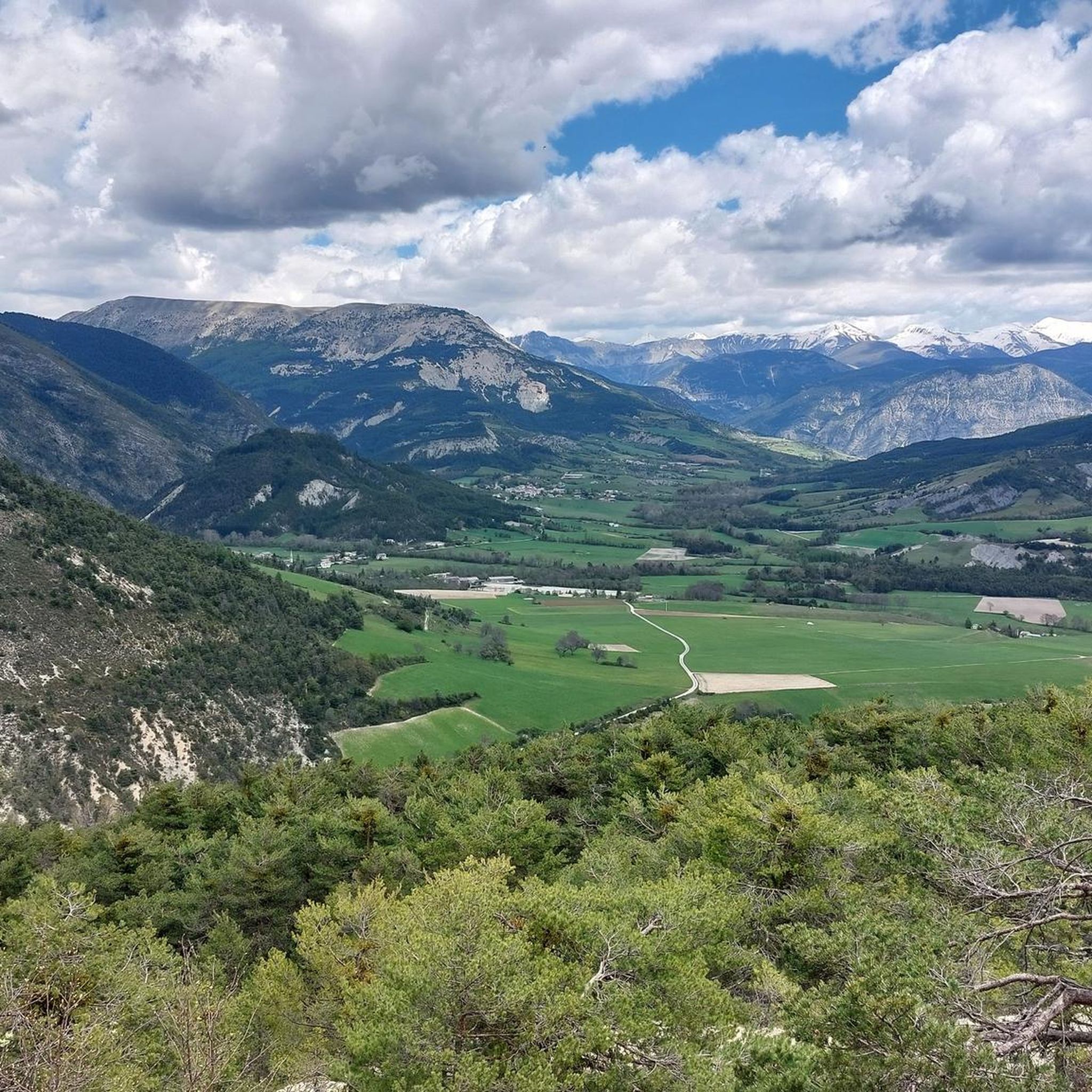
Jogging routes around Lambruisse traverse a tranquil valley setting, characterized by verdant meadows and wooded hills. The Encure river flows through the area, offering potential for flat or gently undulating paths along its banks. The region's diverse terrain includes varied gradients, from easy riverside trails to more challenging routes through the surrounding hills, and is in proximity to scenic lakes and gorges.
Best jogging routes around Lambruisse
- The most popular jogging route is Col des Robines loop from Moriez,…
Last updated: July 10, 2026
28
runners
25.1km
03:46
1,260m
1,260m
Hard run. Very good fitness required. Sure-footedness, sturdy shoes and alpine experience required.
24
runners
Moderate run. Good fitness required. Mostly paved surfaces. Suitable for all skill levels.

Sign up for free
5.0
(1)
16
runners
10.7km
01:14
210m
210m
Moderate run. Good fitness required. Mostly paved surfaces. Suitable for all skill levels.
22
runners
45.1km
06:28
1,930m
1,930m
Hard run. Very good fitness required. Sure-footedness, sturdy shoes and alpine experience required.
5.0
(1)
17
runners
12.6km
01:35
310m
310m
Hard run. Very good fitness required. Mostly paved surfaces. Suitable for all skill levels.
Get access to more routes and recommendations from other explorers.
Sign up for free
Already have an account?
Our route recommendations are based on thousands of hikes, rides, and runs completed by other people on komoot.
Start today with a free account
Your next adventure awaits.
Login or Signup
Tips from the Community

Beautiful bike ride right along the lake. Make sure to stop in Saint-Julien-du Verdon and enjoy a cool drink down by the lake. There is also a small snack bar if you get a little hungry.
0
0

Nice little place, small church and small passage.
0
0

The Col des Robines peaks at 988m and will allow you to climb to almost 1000m without making any effort because from Moriez you would have a slope of around 3km with a slope not exceeding 5% and on the Saint-André les Alpes side this will be shorter, around 1.5 km, but harder with an average of 6-7%. Be careful, however, of the often very heavy traffic on this pass because it is on the RN 202 which is HUGELY used almost all year round.
1
0

Lake Castillon results from a water reservoir at the Cheiron hill. When the dam was installed, water engulfed the village of Castillon and the Saint-Julien bridge. This lake with azure waters is perfect for cooling off.
4
0

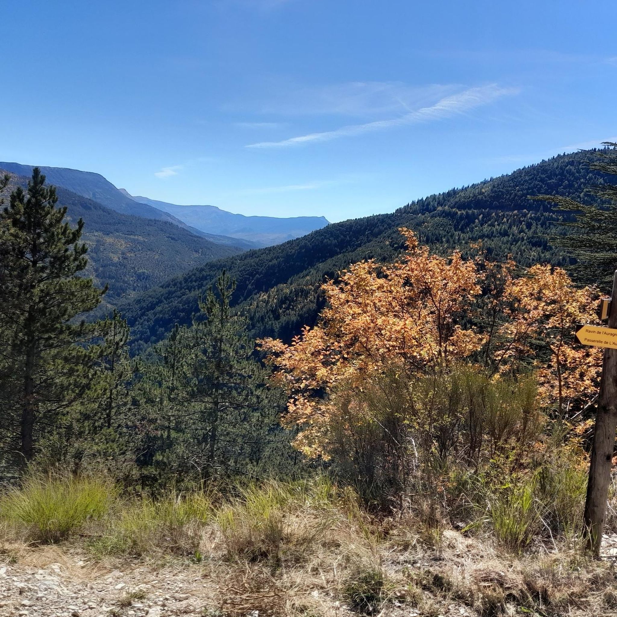
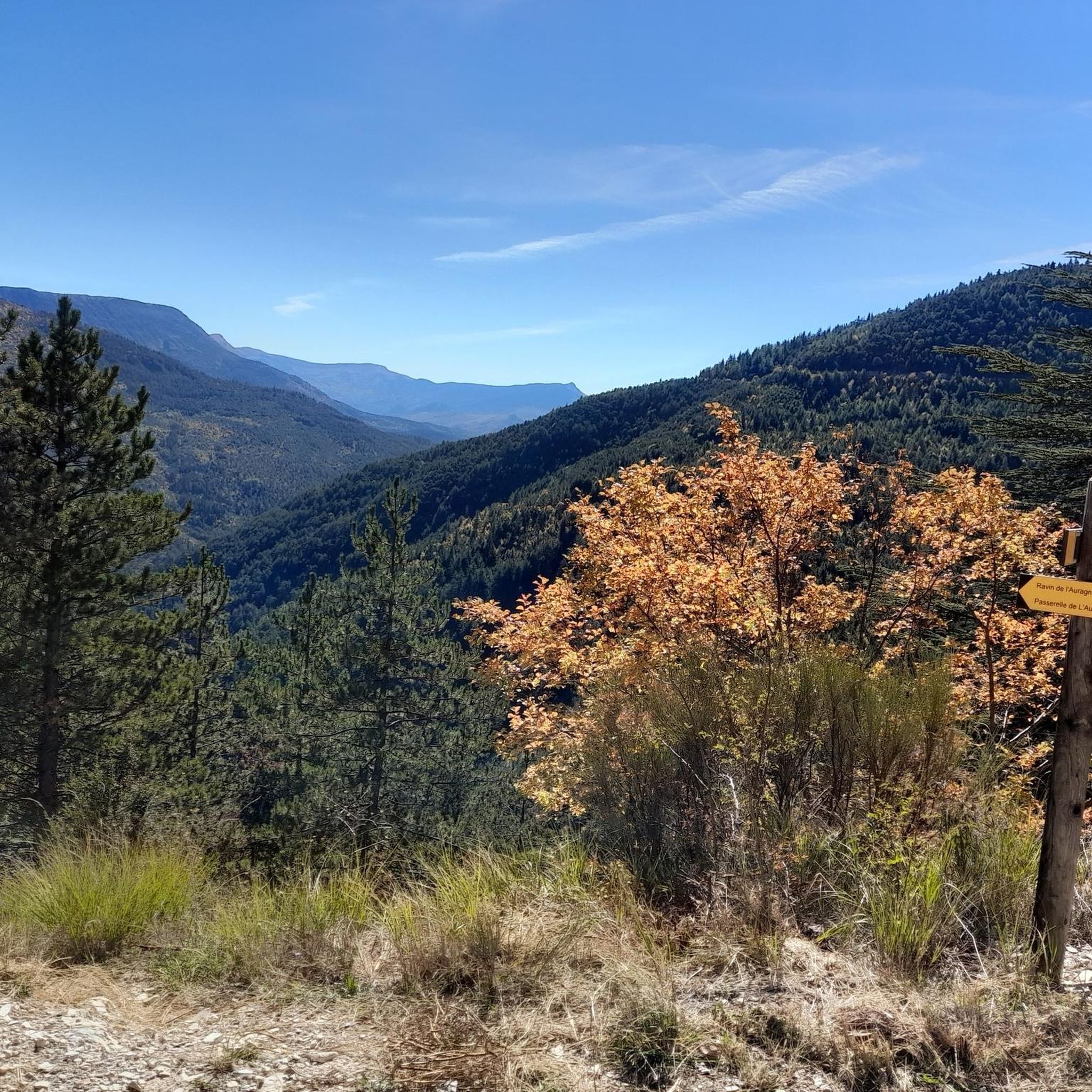
Located between Moriez and Corchon, this path offers a clear view of the surrounding area. A small cross is erected at the top.
0
0

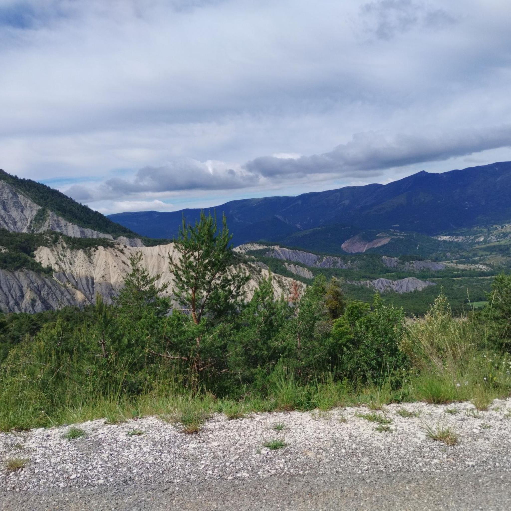
The hills soften around the Col de la Pierre Plantée. The valleys indeed seem to be less steep than in certain other parts of this department of the Alpes de Haute-Provence.
1
0

A pretty village located in the heart of the Verdon gorges and lakes. From here many bike tours start. We will see paragliders if the wind is good as the site is well known for the sport!
4
0

Good driving technique and safe handling of the bike are really important here, otherwise you will quickly find yourself 30m lower
0
1
Frequently Asked Questions
How many running trails are available around Lambruisse?
There are over 30 running trails around Lambruisse, offering a variety of distances and difficulty levels. These routes traverse the tranquil valley, wooded hills, and areas near the Encure river.
Are there any easy or beginner-friendly jogging routes in the Lambruisse area?
Yes, Lambruisse offers several routes suitable for beginners or those seeking a gentler run. For instance, the Sentier des Pêcheurs loop from Saint-André-les-Alpes is a moderate 3.6-mile (5.9 km) path with minimal elevation change, likely following a river or stream. In total, there are 2 easy and 10 moderate routes available.
What kind of terrain can I expect on the running routes near Lambruisse?
The terrain around Lambruisse is quite varied. You'll find routes through verdant valleys and wooded hills, with paths along the Encure river offering flat or gently undulating surfaces. Other trails can be more challenging, featuring significant elevation gains as they climb through the surrounding rugged landscapes, especially towards mountain passes like the Col des Robines.
Are there any circular running routes around Lambruisse?
Yes, many of the running routes in the area are circular, allowing you to start and end in the same location. Examples include the Sentier des Pêcheurs loop from Saint-André-les-Alpes and the Lake Castillon loop from Saint-André-les-Alpes, which offers scenic lakeside terrain.
What natural features or landmarks can I see while running in Lambruisse?
Jogging around Lambruisse allows you to experience the region's rich natural beauty. You might encounter picturesque valleys, wooded hills, and the Encure river. The area is also close to stunning natural sites like the Barrage and Lac de Castillon, and the dramatic Gorges du Verdon. Notable landmarks include the Col des Robines and unique geological formations like Les Terres Noires - Slides, part of the UNESCO Geopark of Haute-Provence.
Are there any family-friendly running trails in the Lambruisse region?
While specific 'family-friendly' designations aren't always explicit, routes with minimal elevation change and shorter distances are generally suitable. The Sentier des Pêcheurs loop from Saint-André-les-Alpes, being a moderate 3.6-mile path with gentle gradients, could be a good option for families looking for a pleasant run.
Can I bring my dog on the running trails near Lambruisse?
The Alpes-de-Haute-Provence region is generally welcoming to dogs on trails, especially in natural areas. However, it's always recommended to keep your dog on a leash, especially in protected areas, near livestock, or during nesting seasons. Check local signage for any specific restrictions on individual routes.
What do other runners enjoy most about the trails in Lambruisse?
The running routes in Lambruisse are highly rated by the komoot community, with an average score of 3.8 stars from over 7 reviews. Runners often praise the diverse terrain, from tranquil valley paths to more challenging climbs, and the stunning natural scenery, including lakes and wooded areas. Over 300 runners have used komoot to explore the varied landscape.
What is the best time of year for jogging in Lambruisse?
The region's pleasant climate makes it suitable for jogging for much of the year. Spring and autumn offer mild temperatures and beautiful scenery, including lavender fields in bloom during late spring/early summer. Summer can be warm, so early morning or late afternoon runs are advisable. Winter jogging is possible, but some higher elevation trails might be affected by snow or ice.
Are there any challenging or advanced running routes for experienced runners?
Absolutely. For experienced runners seeking a challenge, routes like the Col des Robines loop from Moriez offer a significant test. This 15.6-mile (25.1 km) trail features substantial elevation gain (over 1200 meters) through rugged landscapes, providing an invigorating workout. There are 19 difficult routes in the area for those looking for demanding runs.
Are there any running routes that pass by lakes or offer water views?
Yes, the region's proximity to several beautiful lakes means you can enjoy runs with stunning water views. The Lake Castillon loop from Saint-André-les-Alpes is a prime example, leading through scenic lakeside terrain. The broader area also provides access to Lac d'Allos and Lac de Sainte-Croix, offering further opportunities for picturesque waterside runs.
Where can I find parking for the running trails around Lambruisse?
While specific parking details for every trailhead are not always listed, many routes start from villages like Moriez or Saint-André-les-Alpes, where public parking is typically available. For routes that venture into more remote areas, look for designated parking spots near trailheads or consult local maps for suitable access points.
Most popular attractions around Lambruisse

Get inspired with the komoot mobile app


Explore more
Browse the best Running Trails & Routes in other regions.
