The best running trails around Thierachern
4.3
(17)
354
runners
36
runs
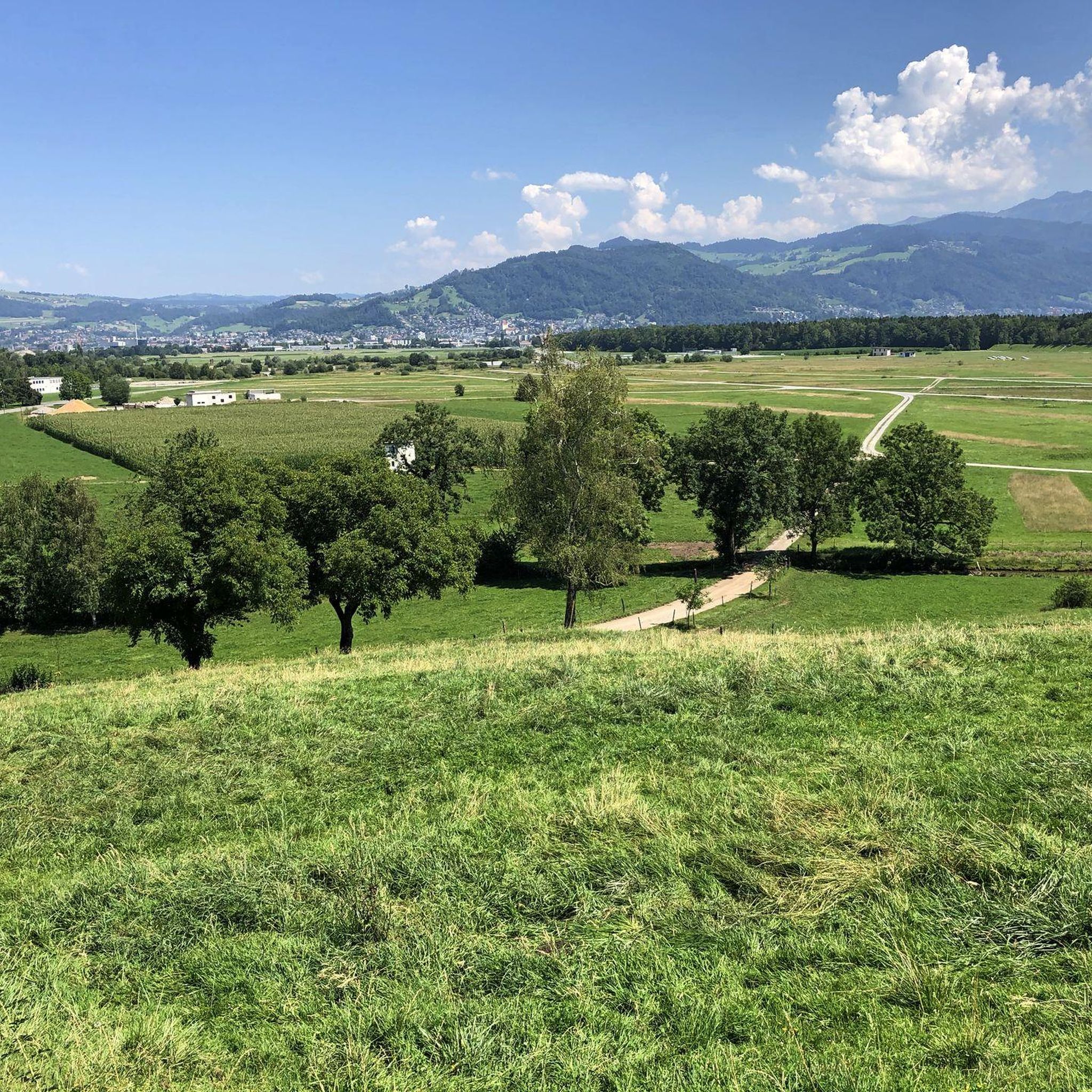
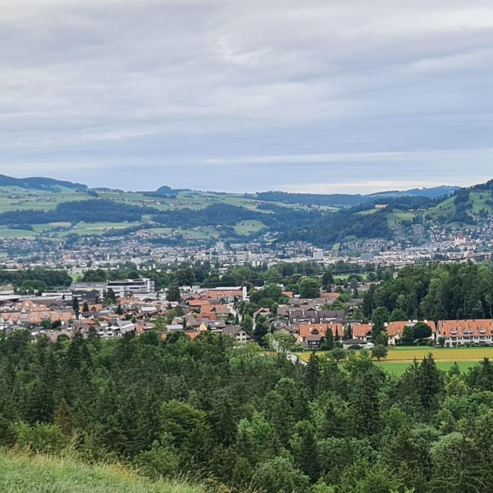
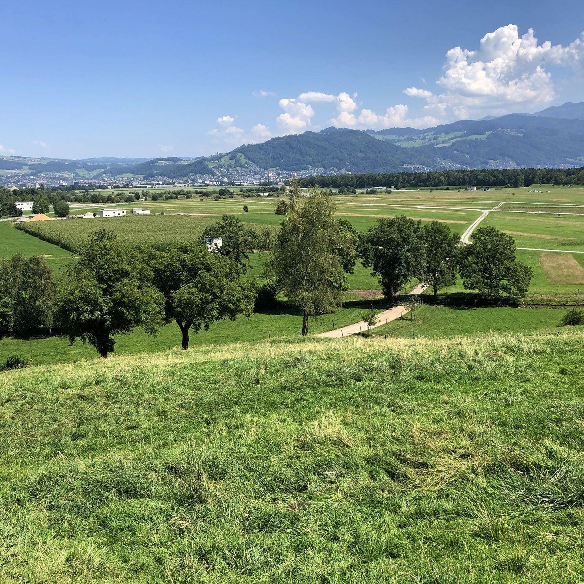
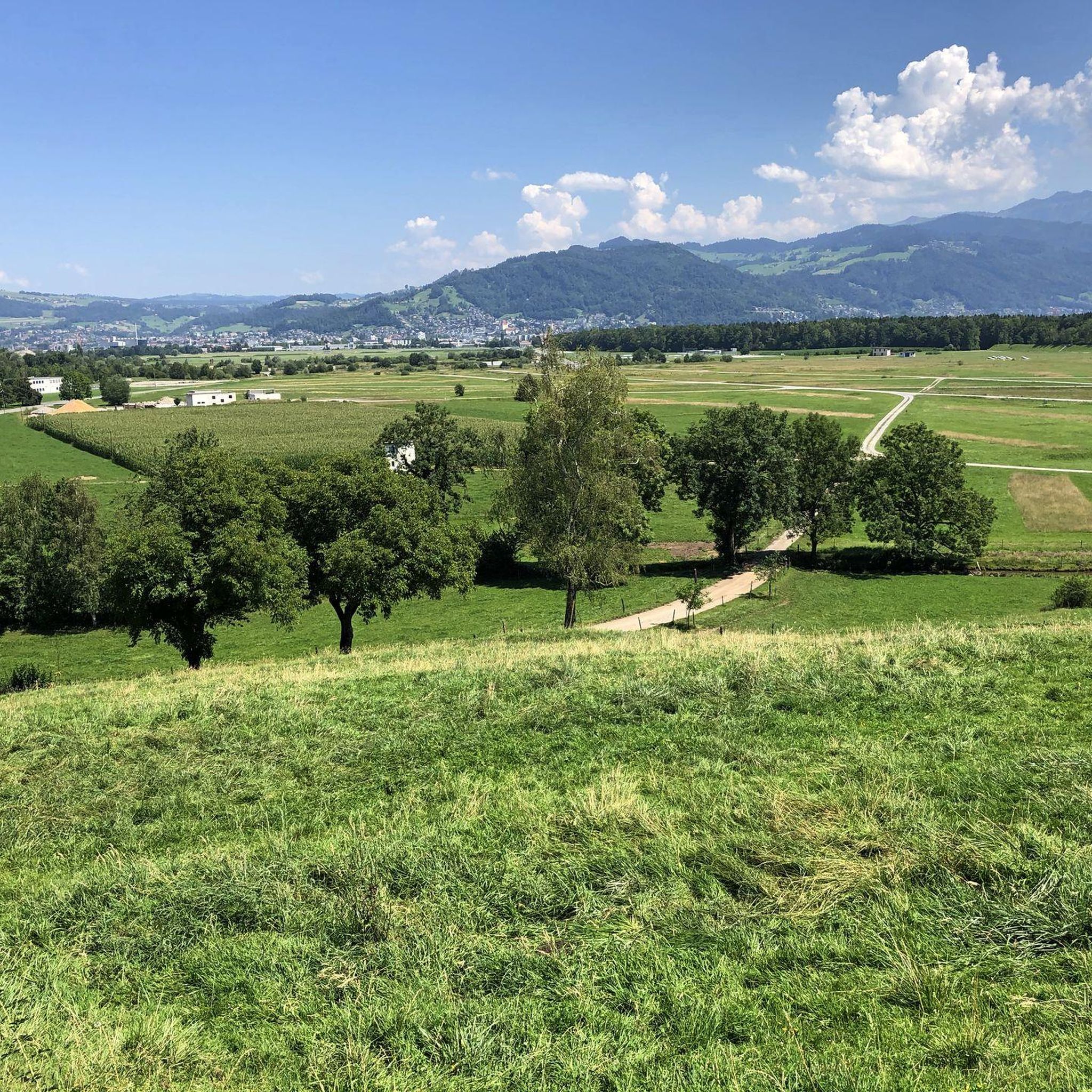
Jogging around Thierachern offers diverse landscapes for outdoor enthusiasts. The region is characterized by hilly agricultural land, providing varied terrain and views of the surrounding natural beauty. Joggers can experience panoramic vistas of the Bernese Alps and explore forested areas like the Längebüelwald and Chumelwald. The area also features moraine lakes, such as Dittligsee, and the Glütschbach valley, which offers family-friendly routes.
Best jogging routes around Thierachern
- The most popular jogging route is Running loop from Uetendorf, a 3.5…
Last updated: June 27, 2026
5.0
(1)
119
runners
5.71km
00:35
10m
10m
Moderate run. Good fitness required. Mostly paved surfaces. Suitable for all skill levels.
2.7
(3)
20
runners
5.39km
00:34
50m
50m
Moderate run. Good fitness required. Mostly paved surfaces. Suitable for all skill levels.

Sign up for free
19
runners
Moderate run. Good fitness required. Mostly paved surfaces. Suitable for all skill levels.
12
runners
Easy run. Great for any fitness level. Mostly paved surfaces. Suitable for all skill levels.
5.0
(4)
13
runners
9.06km
01:01
100m
100m
Moderate run. Good fitness required. Mostly paved surfaces. Suitable for all skill levels.
Get access to more routes and recommendations from other explorers.
Sign up for free
Already have an account?
Our route recommendations are based on thousands of hikes, rides, and runs completed by other people on komoot.
Start today with a free account
Your next adventure awaits.
Login or Signup

Tips from the Community

Thierachern is a municipality in the Swiss canton of Bern. It belongs to the administrative district of Thun. It is located just under five kilometers from Thun's city center. Thierachern does not have a specific village center, but is divided into five subdivisions (Wahlen, Dorf, upper, middle, and lower Schwand, and Brügg).
1
0

Beautiful barbecue spot at Blauseeli in Uttigen
0
0

“Aareböötler” know this place. The so-called “Uttiger threshold” below this railway bridge is the most sensitive place between Thun and Bern. The Aaare is easily passable here on foot or by bike.
0
0

The Aare is a dreamlike river. Crystal blue water and pleasantly cool temperatures. It is hardly surprising that swimming in the Aare is a popular sport among the people of Bern.
0
0

Railway bridge over the Aare on the Bern - Thun route, near Uttigen. Below her is the Uttigerwelle, which is notorious among the "Aareböötler". This has capsized many a rubber boat and caused an unwanted cooling.
2
0
Railway bridge over the Aare on the Bern - Thun route, near Uttigen. Below her is the Uttigerwelle, which is notorious among the "Aareböötler". This has capsized many a rubber boat and caused an unwanted cooling.
3
0
This small groundwater lake is a rocky desert in winter and a bathing lake in summer. It lies between the Aare and Uttigen, in a nature reserve, which is why it is also called "Uttigenseeli".
2
0

If you want to cross the Aare without getting your feet wet, if you want to watch the thousands of rubber boats in summer, if you would like to dive into the cold water of the Aare yourself... is in the right place at the Uttigen bridge with its Uttigen sill. And for those of you who can't get enough of the trains rushing by... et voilà. All train traffic to and from Thun thunders by here.
1
0
Frequently Asked Questions
How many running trails are available around Thierachern?
Thierachern offers a good selection of routes for runners, with over 35 running trails available. These range from easy loops to more challenging runs, catering to various fitness levels.
Are there easy running routes suitable for beginners in Thierachern?
Yes, Thierachern has routes suitable for beginners. For instance, the Glütschbach – Rosindli Path – Hubelmattweg Equestrian Farm loop from Thierachern is an easy 3.0-mile (4.8 km) trail that takes about 33 minutes to complete, offering gentle terrain through the Glütschbach valley.
What kind of scenery can I expect on jogging routes in Thierachern?
Jogging in Thierachern offers diverse and scenic landscapes. You can expect to run through hilly agricultural land, providing panoramic views of the majestic Bernese Alps, including peaks like the Eiger, Mönch, and Jungfrau. Many routes also traverse forested areas such as the Längebüelwald and Chumelwald, and some pass by moraine lakes like Dittligsee.
Are there any longer running routes for more experienced runners?
Yes, for those seeking a longer run, the Uttigen Wave on the Aare River – Aareweg Towards Uttigen loop from Uetendorf is a moderate 6.8-mile (10.9 km) trail. While most routes are moderate, the region's hilly terrain and proximity to the Gantrisch Nature Park also provide opportunities for more rugged and challenging runs.
What do other runners enjoy most about jogging in Thierachern?
The running trails in Thierachern are highly rated by the komoot community, with an average score of 4.3 stars from over 10 reviews. Runners often praise the varied terrain, from flat sections to moderate ascents, and the beautiful views of the Bernese Alps and surrounding natural beauty.
Are there any specific landmarks or attractions I can see along the running trails?
While jogging, you might encounter natural features like the Dittligsee moraine lake, which even has a small animal park on its shore. For historical sights, you could extend your trip to see nearby castles such as Thun Old Town and Castle or Schadau Castle, though these might require a slight detour from direct running paths.
Can I find running routes that are approximately 5km long?
Absolutely. Many routes in Thierachern are around the 5km mark. For example, the Running loop from Uetendorf is 3.5 miles (5.7 km) and the Running loop from Thierachern is 3.3 miles (5.4 km), both offering moderate runs within this distance range.
Are there any running routes that pass by water features?
Yes, the region features several water elements. The Glütschbach valley offers routes with gentle terrain, and moraine lakes like Dittligsee can be incorporated into your runs. The Gürbe River flows through the wider Gürbetal, and the prominent Aare River passes through nearby Thun and Bern, offering scenic views, though direct jogging paths along the Aare specifically within Thierachern are less common.
Are the running trails in Thierachern generally circular?
Many of the popular running routes in Thierachern are designed as loops, allowing you to start and finish at the same point. This includes routes like the Running loop from Uetendorf and the Mahasler Advent Lights – Lake Dittlig loop from Thierachern, making them convenient for exploration.
What are the typical terrain conditions for running in Thierachern?
The terrain in Thierachern is varied, characterized by hilly agricultural land, which provides both flat sections and moderate ascents. You'll also find paths through forested areas like the Längebüelwald and Chumelwald, offering natural and shaded running surfaces.
Can I find running routes with good viewpoints in Thierachern?
Absolutely. The hilly nature of Thierachern means many routes offer exceptional viewpoints. You can enjoy stunning panoramic vistas of the Bernese Alps, including iconic peaks, especially on clear days, as you traverse the agricultural land and higher elevations.
Most popular routes around Thierachern
Most popular attractions around Thierachern

Get inspired with the komoot mobile app


Explore more
Browse the best Running Trails & Routes in other regions.
