The best traffic-free bike rides around Thierachern
4.5
(842)
19,393
riders
54
rides
No traffic road cycling routes around Thierachern offer diverse terrain, from flat sections suitable for families to more challenging ascents. The region is characterized by views of the Bernese and Fribourg Alps, the Stockhorn chain, and the scenic Lake Thun. Cyclists can explore areas featuring moraine lakes and the Glütschbachtal valley, providing varied landscapes for road cycling.
Best no traffic road cycling routes around Thierachern
- The most popular no traffic road cycling route is Eriz Valley – Flüeli Ascent loop…
Last updated: July 12, 2026
4.7
(3)
111
riders
49.7km
02:25
550m
550m
Moderate road ride. Good fitness required. Mostly well-paved surfaces and easy to ride.
68
riders
18.8km
01:55
130m
130m
Easy road ride. Great for any fitness level. Mostly well-paved surfaces and easy to ride.

Sign up for free
5.0
(1)
34
riders
26.3km
01:10
200m
200m
Moderate road ride. Great for any fitness level. Some segments of this route may be unpaved and difficult to ride.
21
riders
69.6km
03:36
1,120m
1,120m
Hard road ride. Very good fitness required. Mostly well-paved surfaces and easy to ride.
5.0
(3)
26
riders
24.5km
01:05
190m
190m
Easy road ride. Great for any fitness level. Mostly well-paved surfaces and easy to ride.
Get access to more routes and recommendations from other explorers.
Sign up for free
Already have an account?
Our route recommendations are based on thousands of hikes, rides, and runs completed by other people on komoot.
Start today with a free account
Your next adventure awaits.
Login or Signup
Popular around Thierachern
Tips from the Community

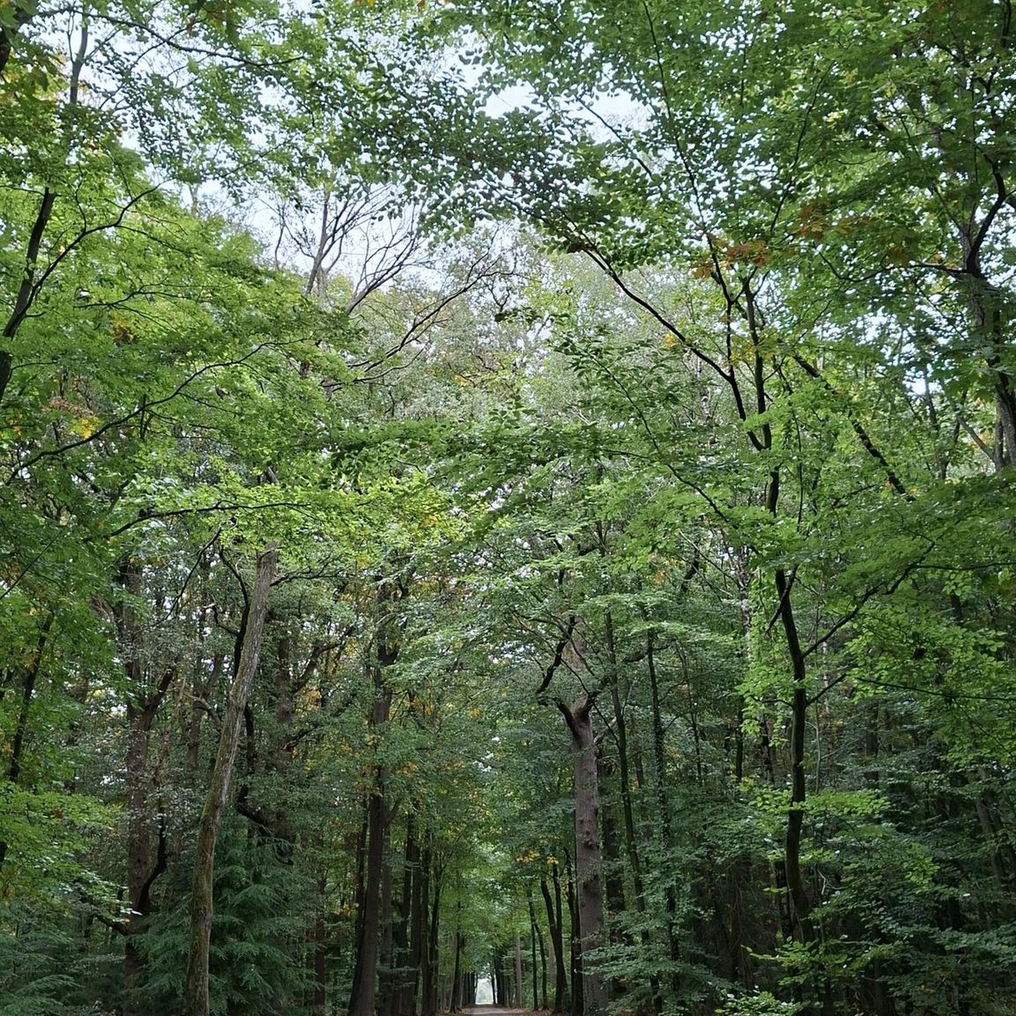
Take this nice road, then you don't have to drive on the narrow and dangerous main road.
0
0

After the ascent from the Aare Valley to Grosshöchstetten, the "dessert" begins with a beautiful descent.
0
0
Relatively little car traffic on this road from Grosshöchstetten towards Münsingen.
0
0


A super flat route. However, if you approach from the gravel side, you'll mostly be riding against the wind.
0
0
Lake Gerzensee is privately owned. It's not possible to walk around it. From Kirchdorf, there's a dirt road that leads to a wonderful seating area.
0
0

Lake Gerzen is a lake located between the villages of Gerzensee, Mühledorf, and Kirchdorf in the canton of Bern, Switzerland. Its water level is at an average elevation of 603 meters above sea level. At normal water levels, the lake is approximately 8.5 meters deep on average and reaches a maximum of 11 meters deep, and has a surface area of 0.25 km², making it one of the medium-sized pre-Alpine lakes in Switzerland.
1
0
Beautiful views of the Bernese Alps and the Jura.
0
0
Frequently Asked Questions
How many no-traffic road cycling routes are available in Thierachern?
Thierachern offers a wide selection of road cycling routes designed to minimize traffic. You can find over 50 routes in the area, with options ranging from easy to difficult, ensuring there's something for every skill level.
What is the general difficulty level of the no-traffic road cycling routes in Thierachern?
The routes around Thierachern cater to various abilities. You'll find a good mix, with approximately 16 easy routes perfect for beginners or casual rides, around 30 moderate routes for those seeking a bit more challenge, and about 8 difficult routes for experienced cyclists looking for demanding ascents and descents.
What do other cyclists enjoy most about road cycling in Thierachern?
The komoot community highly rates road cycling in Thierachern, with an average score of 4.57 stars. Cyclists often praise the diverse terrain, from flat, family-friendly paths to routes with panoramic alpine vistas, and the opportunity to experience the region's natural beauty away from heavy traffic.
Are there any easy, family-friendly no-traffic road cycling routes?
Yes, for an easy and family-friendly option, consider routes that explore the Glütschbachtal. This area offers flat terrain, ideal for beginners or a relaxed ride. While specific routes are not listed as 'family-friendly' in the data, the Glütschbachtal is known for its gentle gradients.
Can I find routes with scenic views of lakes or mountains?
Absolutely. Many routes in the Thierachern region offer breathtaking views. You can enjoy vistas of the Bernese and Fribourg Alps, especially along routes like the Alpine panorama route. The area is also known for its moraine lakes, remnants of the Aletsch Glacier, which provide scenic backdrops. For example, the Zwieselberg Scenic Road – Übeschisee loop from Thun offers beautiful scenery.
Are there any challenging no-traffic road cycling routes for experienced riders?
Yes, for experienced riders seeking a challenge, routes like the Mill Lock Bridge, Thun loop from Lädeli offer significant elevation gain, with over 1000 meters of climbing. The region also features segments of the IRONMAN Switzerland Thun bike course, known for its demanding nature.
What natural attractions can I see along the no-traffic road cycling routes?
The region boasts several natural attractions. You can encounter beautiful moraine lakes, such as Gantrischseeli, Hinterstockensee, and Oberstockensee. The Glütschbachtal also offers a pleasant natural environment. These features are often integrated into the scenic routes.
Are there any historical landmarks or castles near the no-traffic road cycling routes?
Yes, the area around Thierachern is rich in history. You can find several castles and historical sites. Notable examples include Thun Old Town and Castle, Schadau Castle, and Oberhofen Castle. These can make for interesting stops or scenic backdrops during your rides.
What is the best time of year for no-traffic road cycling in Thierachern?
The best time for road cycling in Thierachern is generally from spring through autumn. During these seasons, the weather is more favorable, and the scenic landscapes are at their most vibrant. Always check local weather conditions before heading out.
Where can I park my car when accessing these routes?
Parking options are available at various starting points for routes in the Thierachern area. For example, if you're starting a route from Uetendorf, such as the Zäziwil–Oberthal Scenic Route – Wyl Castle loop, you can typically find parking in or around the town. Specific parking details often depend on the exact trailhead.
Is public transport an option to reach the starting points of these routes?
Yes, public transport is a viable option to reach many starting points. The region is well-connected, and you can often take trains or buses to towns like Thun or Uetendorf, which serve as access points for several routes. It's advisable to check the specific public transport provider's rules regarding bicycle transport beforehand.
Are there places to eat or stay near the no-traffic routes?
Yes, the towns and villages surrounding Thierachern, such as Thun, Uetendorf, and Amsoldingen, offer various options for dining and accommodation. You'll find cafes, restaurants, and hotels where you can refuel or stay overnight, often conveniently located near popular cycling routes.
Most popular routes around Thierachern
Most popular attractions around Thierachern

Get inspired with the komoot mobile app


Explore more
Browse the best Road cycling routes in other regions.
