The best MTB trails around Montclar
4.6
(55)
400
riders
19
rides
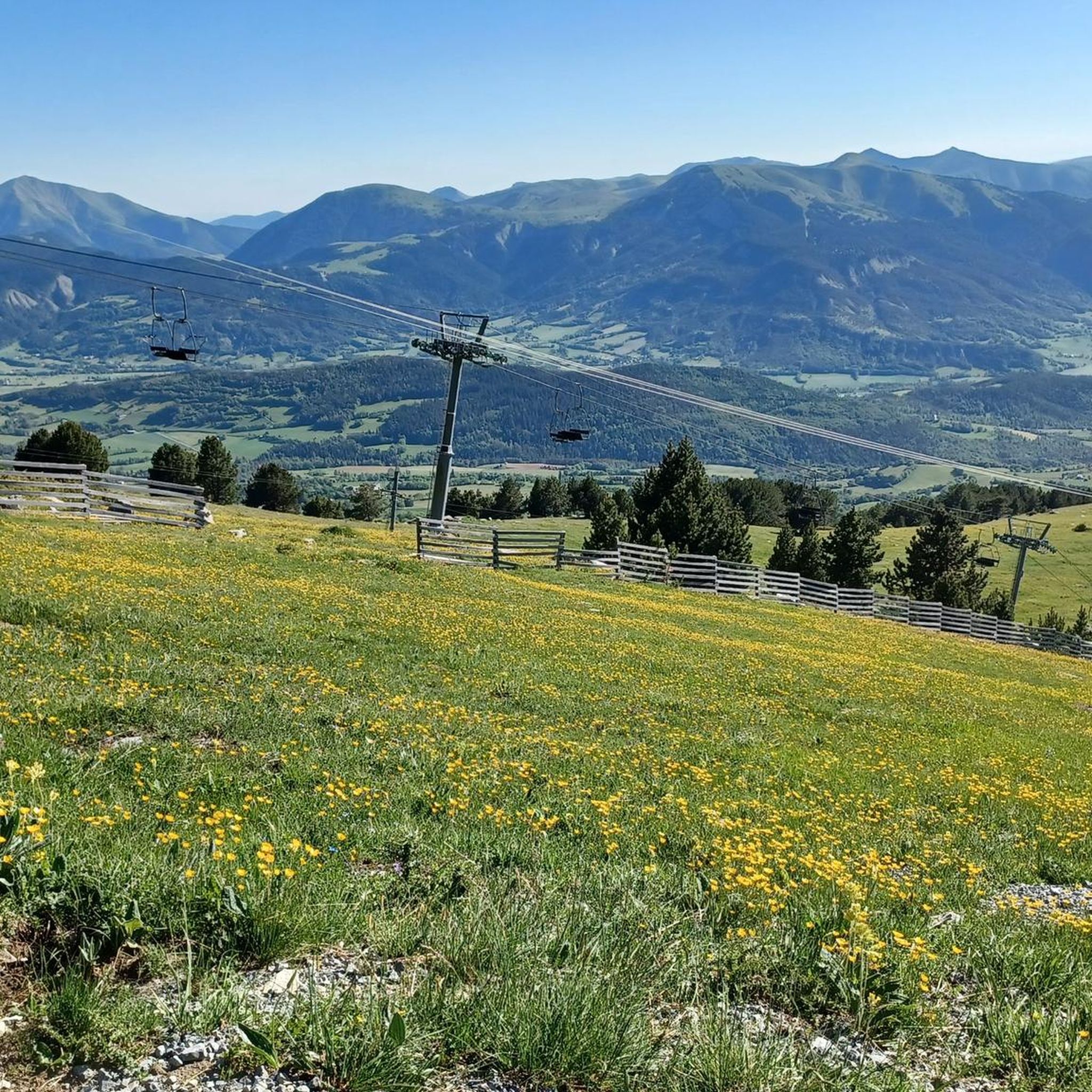
Mountain biking around Montclar, situated in the Alpes-de-Haute-Provence, features diverse terrain within an alpine environment. The area is characterized by mountainous landscapes and forests, offering varied riding conditions. Riders can experience trails with panoramic views, notably overlooking Lac de Serre-Ponçon. This setting provides a range of natural features suitable for mountain biking.
Best mountain bike trails around Montclar
- The most popular mountain bike trail is Col Bas – Col Saint Jean (1332 m) loop from Montclar, a 25.0 miles (40.3 km) difficult route that takes about 4 hours 42 minutes to complete. This route features significant elevation gain through alpine terrain.
- Another top favourite among local mountain bikers is Col Saint Jean (1332 m) – View of Lac de Serre-Ponçon loop from Montclar, an easy 8.1 miles (13.1 km) path. This route offers views of Lac de Serre-Ponçon.
- Local mountain bikers also love the Col Saint Jean (1332 m) – Col Bas loop from Montclar, a 17.3 miles (27.9 km) trail leading through mountainous landscapes, often completed in about 3 hours 39 minutes.
- Mountain biking around Montclar is defined by alpine environments, forests, and views of Lac de Serre-Ponçon. The network offers options for different ability levels, from easy paths to difficult routes.
- The routes in Montclar are highly rated by the komoot community with an average score of 4.7 stars from over 50 reviews. More than 300 mountain bikers have used komoot to explore Montclar's varied terrain.
Last updated: July 8, 2026
4.3
(12)
89
riders
40.4km
04:43
1,450m
1,450m
Hard mountain bike ride. Very good fitness required. Advanced riding skills necessary. Some portions of the route may require you to push your bike.
4.9
(8)
54
riders
24.2km
02:35
740m
740m
Moderate mountain bike ride. Good fitness required. Suitable for all skill levels.

Sign up for free
48
riders
13.5km
01:54
760m
760m
Moderate mountain bike ride. Good fitness required. Suitable for all skill levels.
4.5
(4)
16
riders
13.6km
01:13
360m
360m
Moderate mountain bike ride. Good fitness required. Suitable for all skill levels.
5.0
(2)
17
riders
39.4km
04:22
1,480m
1,480m
Hard mountain bike ride. Very good fitness required. Suitable for all skill levels.
Get access to more routes and recommendations from other explorers.
Sign up for free
Already have an account?
Our route recommendations are based on thousands of hikes, rides, and runs completed by other people on komoot.
Start today with a free account
Your next adventure awaits.
Login or Signup

Tips from the Community

Completely false description, probably a mistake in location. We are here in the Alpes de Haute Provence. Larches and stone pines, but no umbrella pines. But above all, it is strictly forbidden to swim in the Col Bas lakes (see Prefectural Biotope Protection Order) and also prohibited from leaving mountain bike trails or marked trails.
1
0

A climb with gentle slopes.
14
0

Magnificent viewpoint over Lake Serre Poncon and the entire valley at 360°
4
0

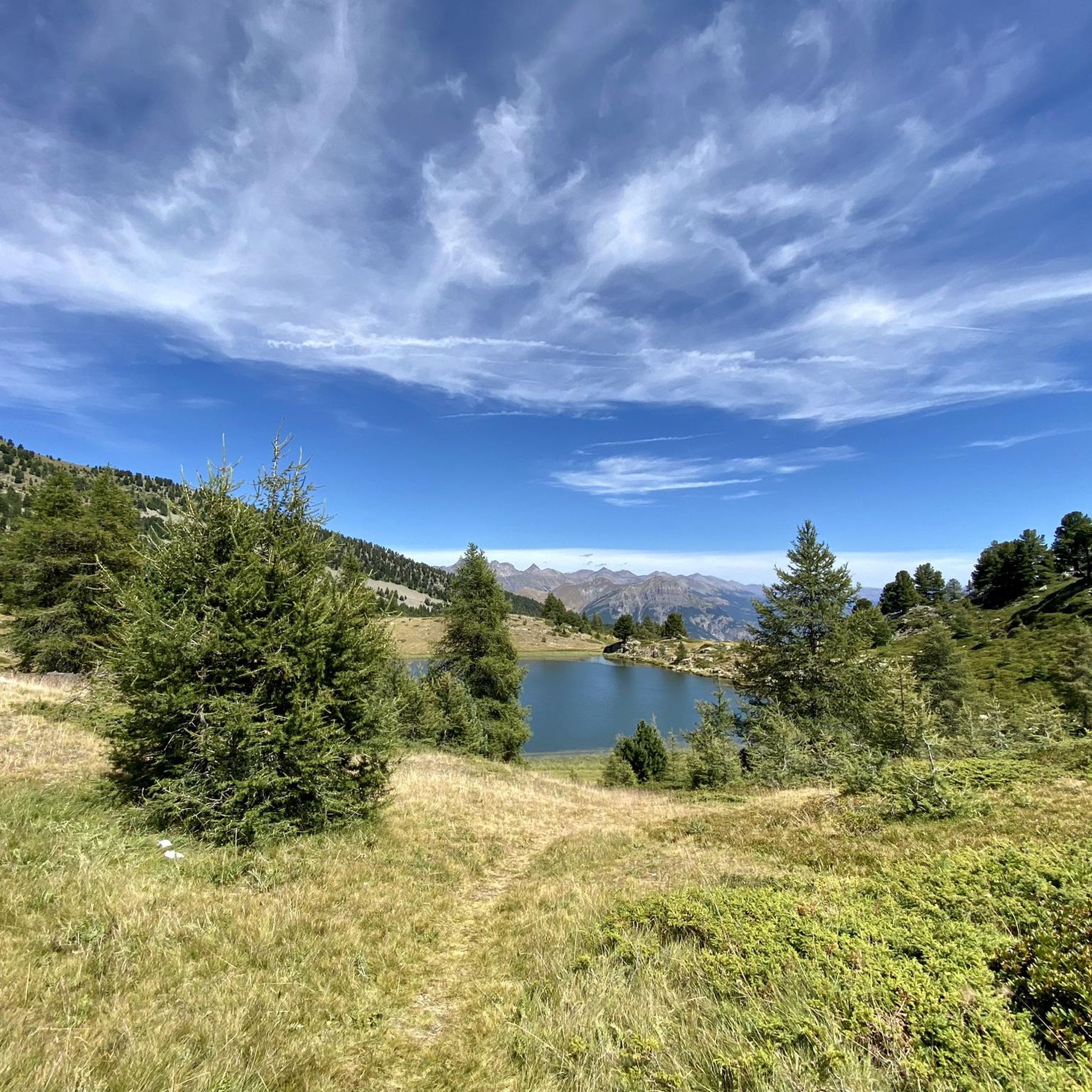
Nestled between the Tête du Vallon du Loup and the Savernes peak, the Col Bas culminates at an altitude of 2,115 meters. It opens the way to the lakes of the same name located a little further below.
1
0
Built in 1862, the so-called “Bas Col” battery was part of the defense system of the Southern Alps against neighboring Italy. Culminating at 2,505 meters, it monitored the Ubaye valley and the passage of the pass while serving as a relay for an optical transmission chain linking Grenoble to Toulon. The bends of the track provided for its access are so steep that at each turn it was necessary to unharness the horses, turn the hand cannons and re-harness!
3
0

The Col Bas from La Ferrière is a climb in the Alpes-Maritimes region. It has a length of 1.7 kilometers and an ascent of 124 vertical meters with an average gradient of 7.2%, which implies a difficulty level of 110. The top of the ascent is located at 1,199 meters above sea level. A beautiful and hard climb to Col Bas, in which we cross a beautiful forest of larch and stone pines. The landscapes are incredible and you will have time to take a dip in one of the lakes higher up. The climb can be a bit steep but it is worth it for the landscapes of exceptional plant and animal richness.
1
0

Located at an altitude of 1260m, Seyne adheres to the "Villages and Cities of Character" label with its Fort Vauban overlooking the village and the old buildings testifying to its historical past. From the end of the Middle Ages, Seyne-les-Alpes became a fortified border town facing Savoy. At the end of the 17th century, Vauban, under the orders of Louis XIV, decided to reinforce the fortifications. He orders the construction of new ramparts flanked by bastions. The Fort will be added to the set and will include the "Great Tower". The city was long renowned for its mule farms which were an important activity for the city. The mule is an animal born from an act of reproduction between a mare and a donkey. A smaller animal than the horse, the mule is particularly resistant to heat, cold and physical effort. It is very comfortable on steep mountain trails. In memory of this past, the city has organized every year since 1995, around August 15, a mule competition which is the only event in France dedicated to mules and the last competition of its kind in France.
0
0

Frequently Asked Questions
How many mountain bike trails are available around Montclar?
Montclar offers a comprehensive network of 69 trails, with 38 specifically designed for mountain biking. Komoot lists 18 routes in the immediate area, catering to various skill levels.
Are there mountain bike trails suitable for beginners in Montclar?
Yes, Montclar has several trails suitable for beginners. For example, the Col Saint Jean (1332 m) – View of Lac de Serre-Ponçon loop from Montclar is an easy 8.1-mile (13.1 km) path offering scenic views of Lac de Serre-Ponçon.
What kind of terrain can I expect on advanced mountain bike trails in Montclar?
Advanced mountain bike trails in Montclar, particularly within the Montclar Bike Park, feature diverse terrain elements such as berms, drops, jumps, gap jumps, and rock gardens. These routes include both downhill (DH) and enduro tracks, providing a dynamic and engaging experience for experienced riders.
What are the best times of year to go mountain biking in Montclar?
Montclar is situated in an alpine environment, so the best time for mountain biking is typically during the warmer months, from late spring through early autumn, when trails are clear of snow and weather conditions are most favorable. Always check local conditions before heading out.
Are there any family-friendly mountain bike trails in Montclar?
Yes, Montclar offers trails suitable for families. While specific family-friendly routes are not detailed, the presence of easy trails, such as the Col Saint Jean (1332 m) – View of Lac de Serre-Ponçon loop from Montclar, suggests options for varying skill levels, including those with children.
Can I bring my e-bike on the trails in Montclar?
Yes, Montclar is e-bike friendly. Many trails accommodate e-bikes, with 24 of the trails specifically designed to be accessible for electric mountain bikes, allowing a wider range of riders to enjoy the area.
What scenic viewpoints or natural features can I see along the mountain bike trails?
Many trails in Montclar offer breathtaking, unobstructed panoramic views, most notably over the picturesque Lac de Serre-Ponçon. You can also explore nearby natural attractions like the Gorges de la Blanche or the Serre-Ponçon Dam.
Are there any circular mountain bike routes available?
Yes, many routes in Montclar are designed as loops. For instance, the Col Saint Jean (1332 m) – The Seyne Valley loop from Montclar is a moderate 8.5-mile (13.6 km) circular route that allows you to experience the diverse landscapes of the region.
What do other mountain bikers enjoy most about Montclar?
The area is highly rated by the komoot community, with an average score of 4.7 stars from over 50 reviews. Reviewers often praise the diverse terrain, the stunning alpine environment, and the panoramic views, especially those overlooking Lac de Serre-Ponçon.
Are there any specific permits required for mountain biking in Montclar?
There is no information indicating that specific permits are required for mountain biking on the general trails in Montclar. However, it's always advisable to check with local tourism offices or the Montclar Bike Park for any specific regulations, especially for organized events or certain park areas.
Is there parking available near the mountain bike trails in Montclar?
As a popular outdoor destination, Montclar typically offers designated parking areas for visitors accessing its trails and the bike park. Specific parking locations would depend on your chosen starting point, but facilities are generally available within the resort area.
Are there any moderate difficulty mountain bike trails in Montclar?
Yes, Montclar offers a good selection of moderate trails. An example is the Seyne-les-Alpes – Selonnet Village loop from Montclar, which is an 11.7-mile (18.9 km) route through varied landscapes.
Most popular attractions around Montclar

Get inspired with the komoot mobile app


Explore more
Browse the best MTB trails in other regions.
