The best mountain hikes in Plessur
5.0
(3)
43
hikers
6
hikes
Mountaineering in Plessur, located in the Eastern Swiss Alps, features majestic mountain chains and deep valleys, including the prominent Schanfigg Valley. The region is characterized by significant peaks such as the Aroser Rothorn (2,980 m / 9,776 ft) and Aroser Weisshorn (2,653 m / 8,704 ft). Rivers like the Plessur, Landwasser, and Landquart drain the area, contributing to its diverse alpine terrain. Clear mountain lakes such as Lake Schwellisee and Älplisee are also notable natural features.
Best mountaineering routes in…
Last updated: August 16, 2026
25
hikers
12.9km
06:56
1,020m
1,020m
Hard mountaineering route. Very good fitness required. Sure-footedness, sturdy shoes and alpine experience required.
5.0
(1)
4
hikers
19.7km
07:59
1,270m
1,270m
Hard mountaineering route. Very good fitness required. Sure-footedness, sturdy shoes and alpine experience required.

Sign up for free
2
hikers
7.68km
02:37
330m
330m
Moderate mountaineering route. Good fitness required. Mostly accessible paths. Sure-footedness required.
2
hikers
11.1km
04:06
560m
560m
Moderate mountaineering route. Good fitness required. Mostly accessible paths. Sure-footedness required.
2
hikers
18.6km
07:51
1,200m
1,200m
Hard mountaineering route. Very good fitness required. Sure-footedness, sturdy shoes and alpine experience required.
Our route recommendations are based on thousands of hikes, rides, and runs completed by other people on komoot.
Start today with a free account
Your next adventure awaits.
Login or Signup
Popular around Plessur

Mountain Hikes around Maladers

Mountain Hikes around Churwalden

Alpine Passes Trail in Switzerland – 34 stages of pure mountain fun
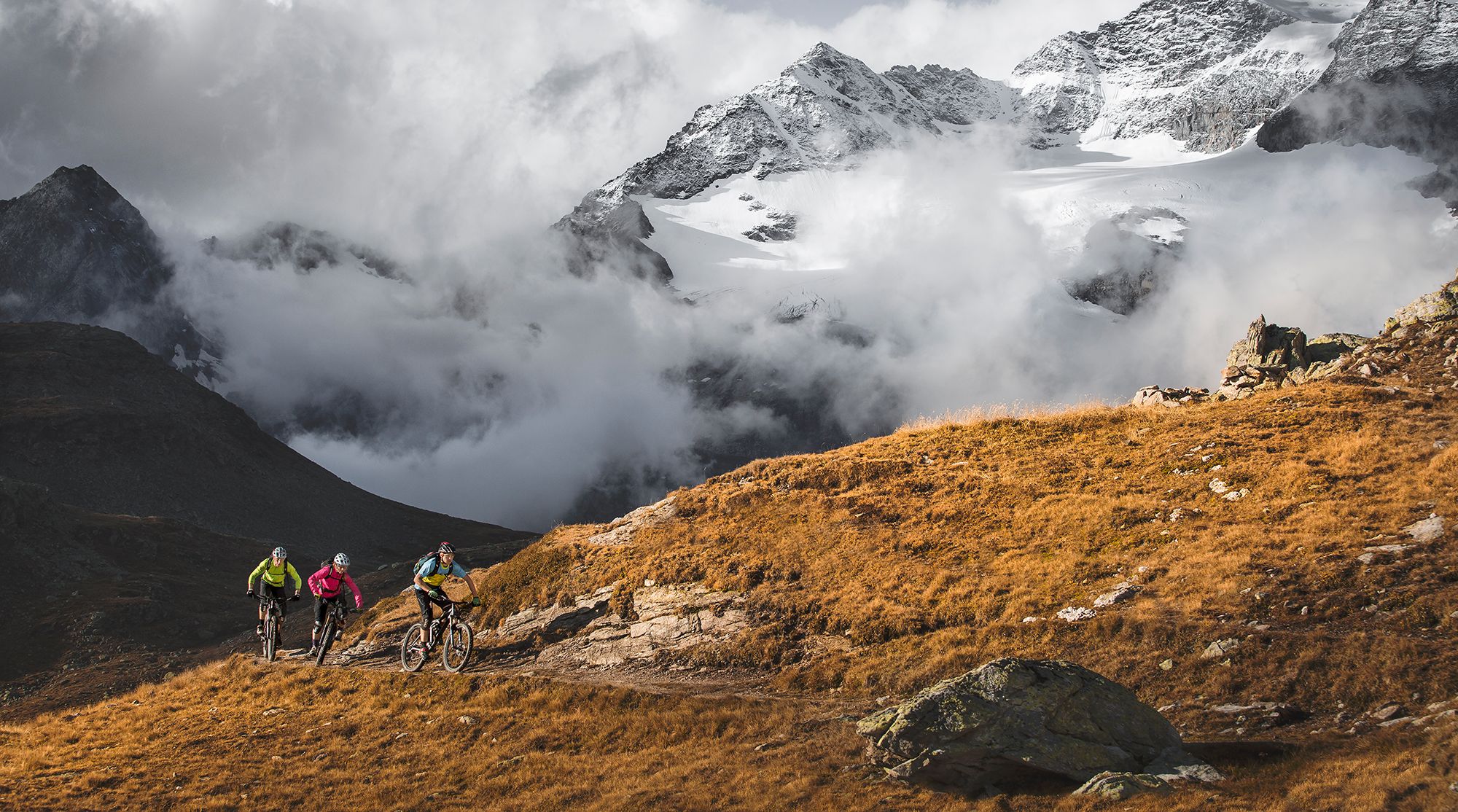
Great heights from Chur to Tirano with your mountain bike & post bus

The Rhine Cycle Path — From the source to the North Sea
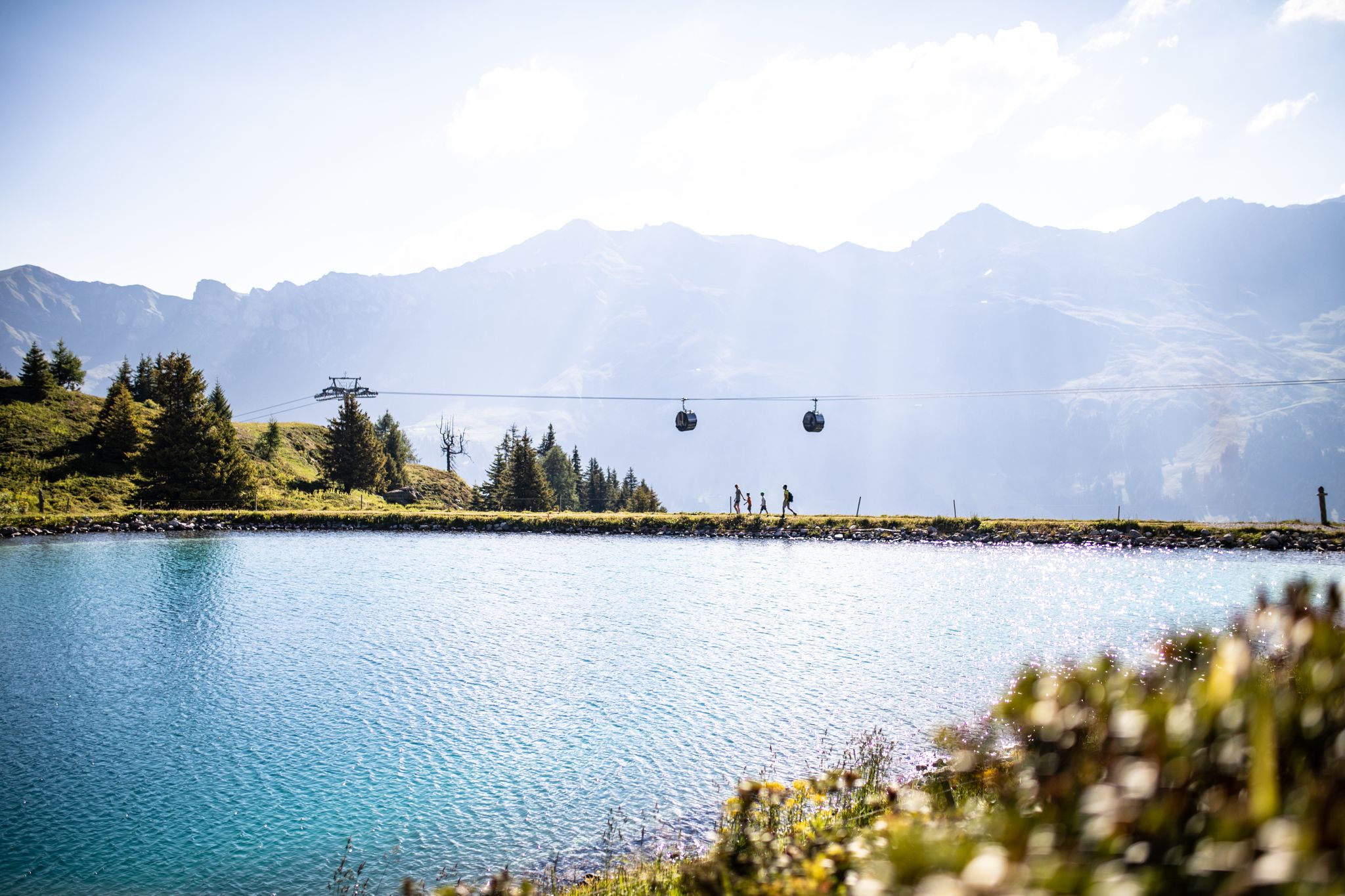
From the peaks to the cool waters – Coolcation Lenzerheide
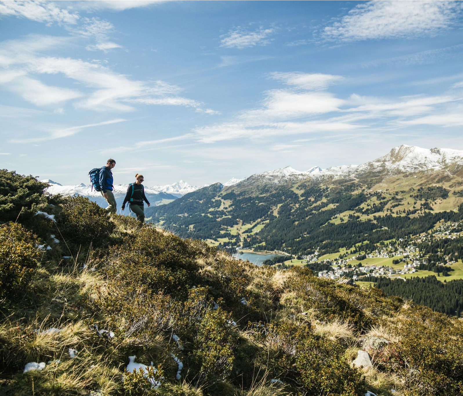
Diverse natural beauty – autumn hiking in Lenzerheide
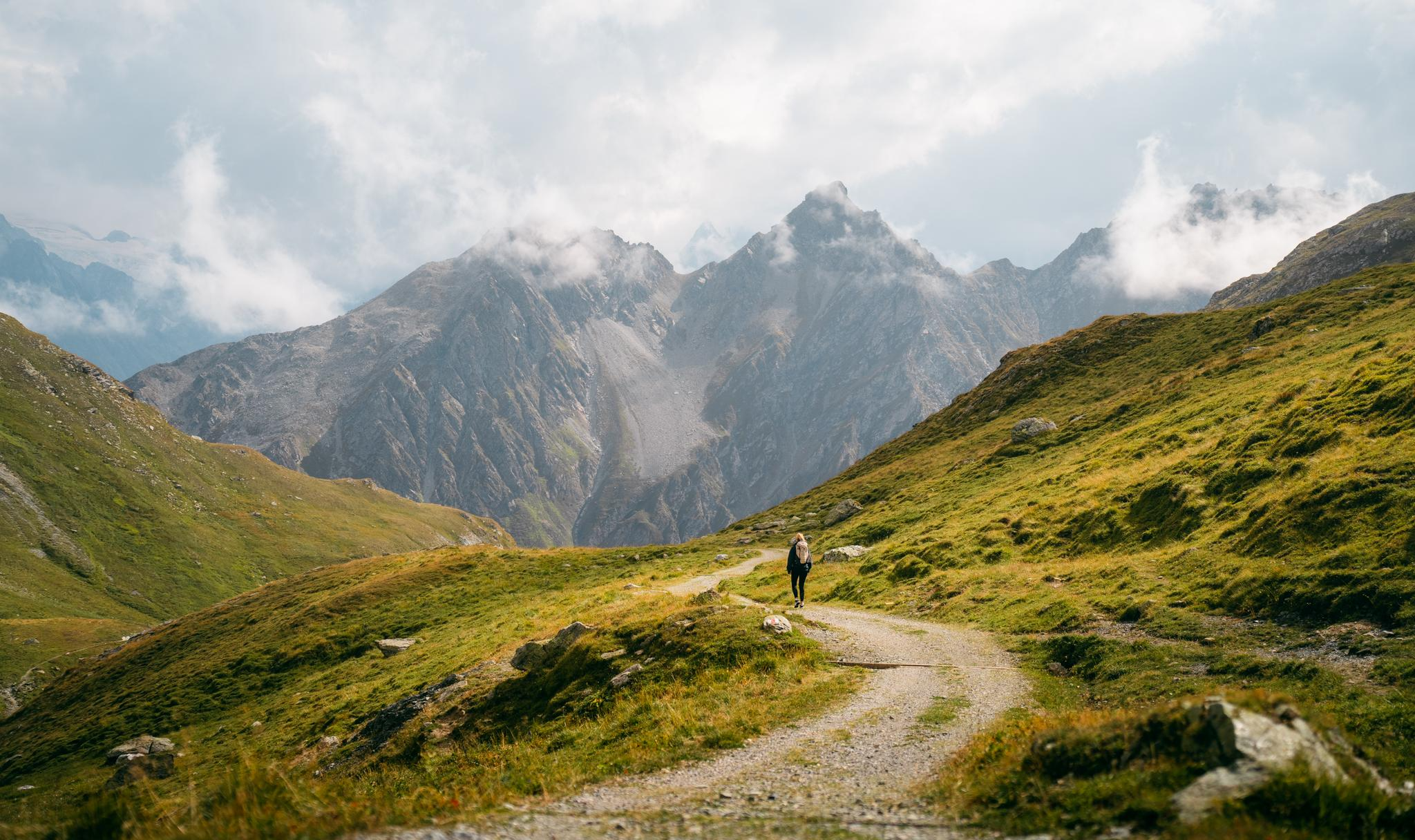
Quiet villages, proud passes, impressive history – the Via Sett

Every cycling trip is a little holiday – bike to work Challenge 2026
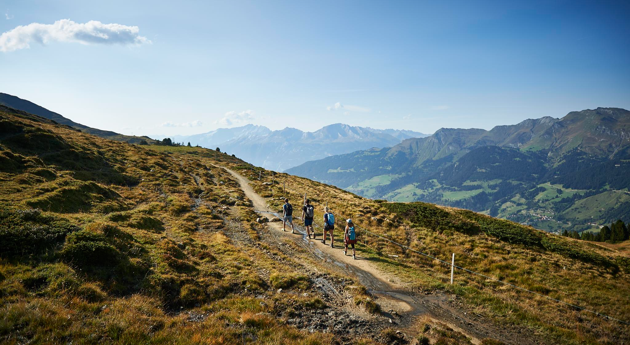
The favourite routes of the locals - hiking around Arosa
Other adventures in Plessur


Tips from the Community


Above the hut there's a viewpoint with benches. Beautiful views, and you can enjoy them in wonderful peace and quiet before the lifts and huts open.
0
0

Several beautiful hiking trails (both short and long) lead from the mountain station. There's also a botanical garden, a summer toboggan run, and a small wooden ball track, so you can pass the time.
3
0

nice connection from Dark side of the Moon to Alplisee
0
0

Highly recommended: Hörnlihütte with regional products and friendly staff.
1
0

beautiful, crystal-clear mountain lake; you can also swim if you can stand the temperature
0
0

Summits, radar stations, and mountain restaurants: There's plenty to marvel at on the Weissfluh at over 2,800 meters. You can reach the top comfortably year-round by gondola or under your own steam via various hiking trails via the Weissfluhjoch.
1
0
Frequently Asked Questions
How many mountaineering routes are available in Plessur?
Plessur offers a diverse range of mountaineering routes. There are currently 10 routes detailed in this guide, catering to various skill levels, from moderate to difficult.
Are there any beginner-friendly mountaineering routes in Plessur?
While many routes in Plessur are challenging, there are moderate options available. For example, the Strelapass loop from Weissfluhjoch is a moderate 8.3 km route, offering a good introduction to the region's alpine terrain.
What are some challenging mountaineering routes for experienced climbers in Plessur?
For experienced mountaineers, Plessur offers several demanding routes. The Calanda Hut – Calanda Summit loop from Hintere Alp is a difficult 13 km route with over 1000 meters of ascent, providing a significant challenge.
Are there any circular mountaineering routes in Plessur?
Yes, many of the mountaineering routes in Plessur are designed as loops. For instance, the View of Davos – Rinerhorn Summit loop from Wunder-Bar is a moderate 7.7 km circular route offering great views.
What natural features can I expect to see along the mountaineering routes in Plessur?
The Plessur Alps are known for their majestic mountain chains, deep valleys, and pristine water bodies. You'll encounter clear mountain lakes like Älplisee and Urdensee, as well as prominent peaks such as the Parpaner Rothorn Summit.
Are there any notable landmarks or points of interest along the trails?
Absolutely. Beyond the stunning natural scenery, you can discover landmarks like the Dreibündenstein Monument, which offers panoramic views. Mountain passes like the Strela Pass are also significant points of interest.
What is the best time of year for mountaineering in Plessur?
The best time for mountaineering in Plessur is generally during the warmer months, from late spring to early autumn, when trails are clear of snow and weather conditions are more stable. However, some routes may be accessible earlier or later depending on elevation and specific conditions.
Are there mountain huts available for overnight stays or refreshments?
Yes, the region has mountain huts that can serve as rest stops or overnight accommodation. The Ochsenalp Mountain Hut is one such example, providing a welcome break for mountaineers.
What do other mountaineers enjoy most about the routes in Plessur?
The mountaineering routes in Plessur are highly rated by the komoot community, with an average score of 5.0 stars. Reviewers often praise the diverse alpine terrain, the challenging ascents, and the breathtaking views from prominent peaks like the Weissflue Summit.
Are there any routes that offer views of the Plessur region's lakes?
Many routes provide glimpses of the region's beautiful lakes. The Yellow Lady's Slipper Orchids loop from Arosa, for example, takes you through areas with scenic lake views, including the nearby Upper Lake (Arosa).
How long do the mountaineering routes in Plessur typically take to complete?
The duration of routes varies significantly based on distance and difficulty. For instance, the Parpaner Rothorn – Gredigs Fürggli loop from Arosa, a difficult 18.8 km trail, typically takes around 7 hours and 24 minutes, while shorter moderate routes can be completed in 3-4 hours.
What kind of gear is recommended for mountaineering in Plessur?
Given the alpine nature of Plessur, sturdy hiking boots, appropriate layers of clothing, and navigation tools are essential. For more difficult routes, sure-footedness and alpine experience are required, and you should consider bringing gear suitable for challenging mountain conditions.
Most popular routes in Plessur
Most popular attractions in Plessur

Get inspired with the komoot mobile app


Didn’t find what you were looking for?
Check out more Mountain Hikes & Routes throughout Plessur below and find the perfect route in your destination.
Explore more
Browse the best Mountain Hikes & Routes in other regions.
