The best walks and hikes around Molleville
4.5
(60)
589
hikers
46
hikes
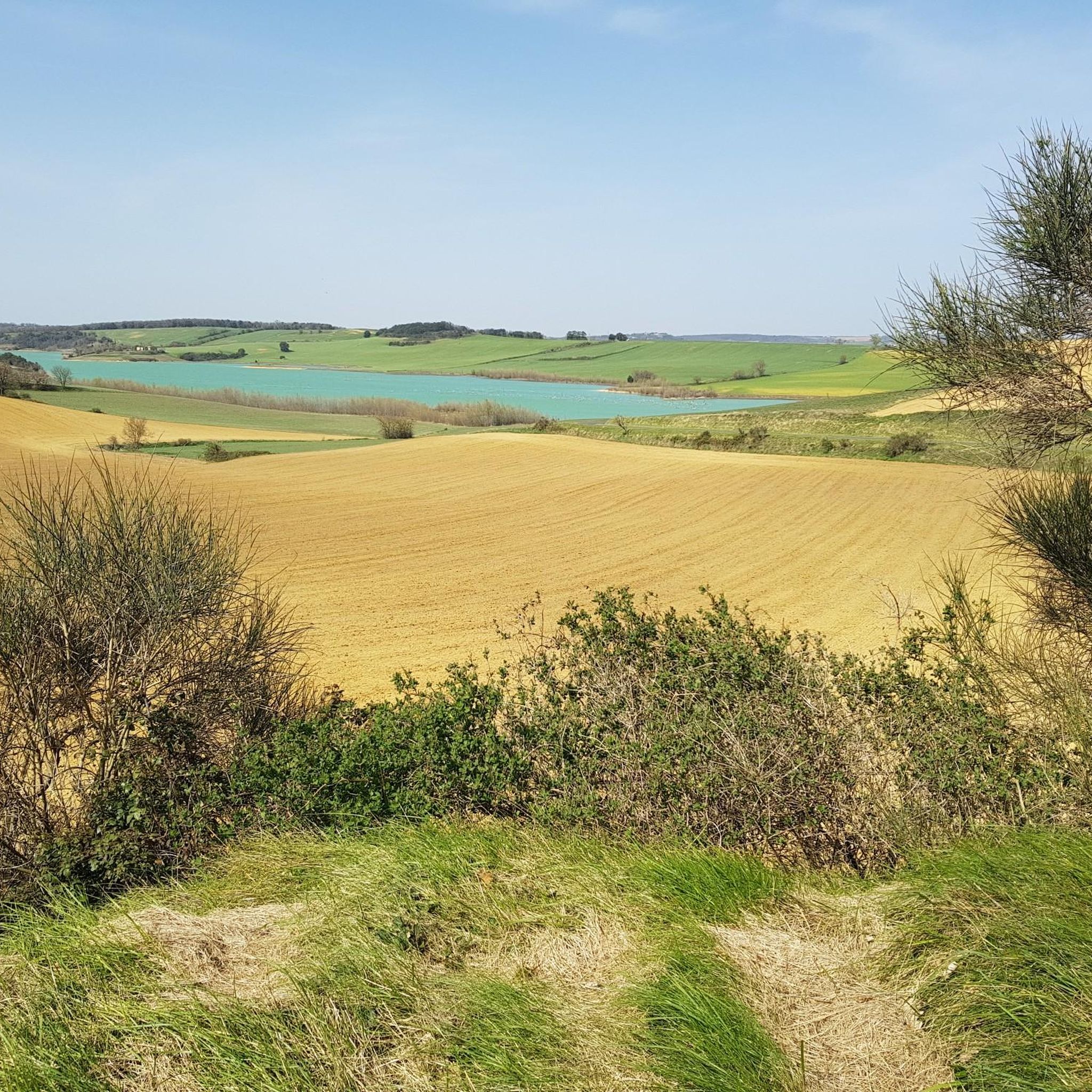
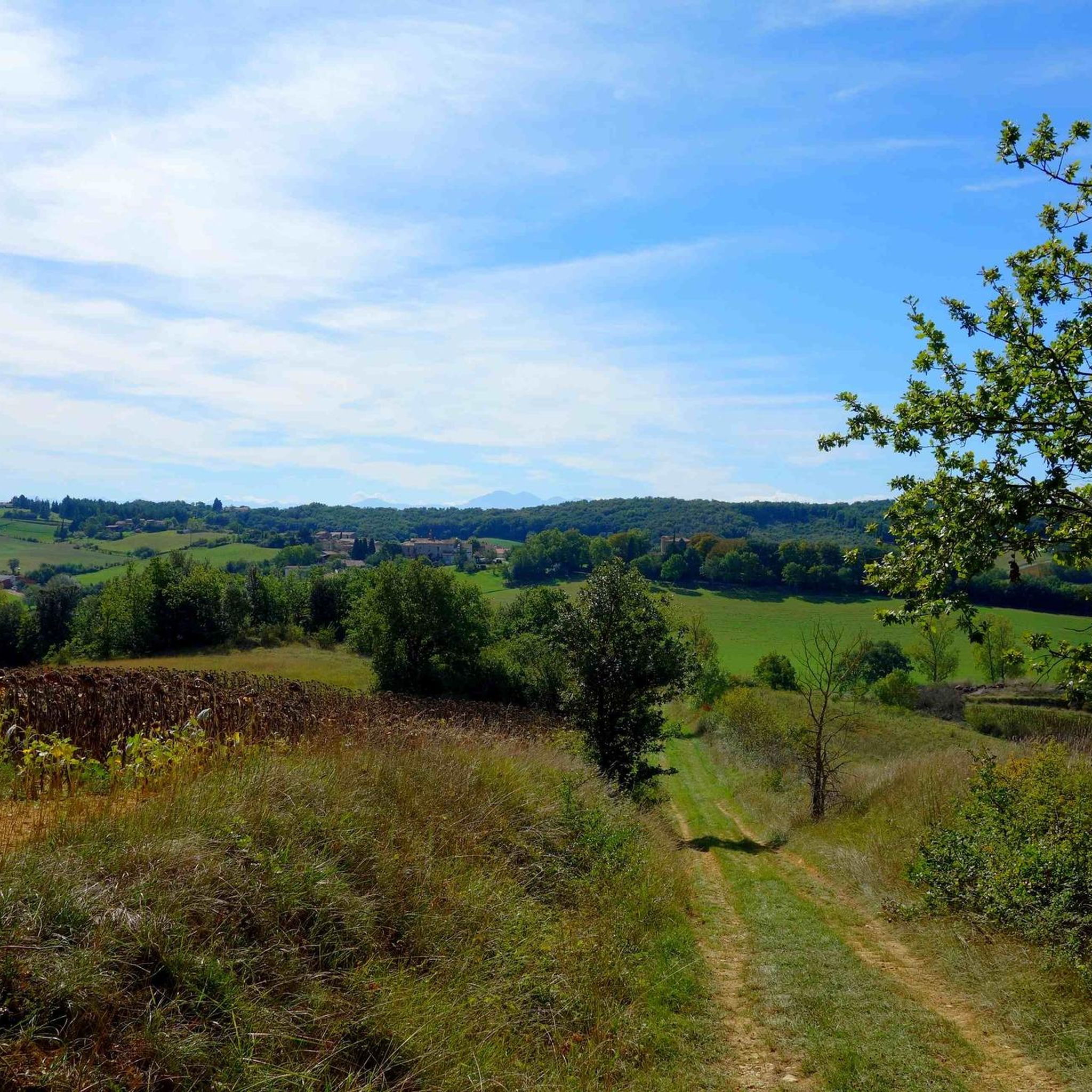
Hiking around Molleville offers trails that explore a landscape characterized by waterways, historical châteaux, and gentle terrain. The routes often follow the Canal du Midi and pass through areas with basins and small hills. This region provides opportunities for outdoor activity with minimal elevation changes, making it accessible for various hiking abilities.
Best hiking trails around Molleville
- The most popular hiking route is Belflou Castle loop from Belflou, a 4.6 miles (7.4 km) trail that takes 2 hours 1…
Last updated: November 4, 2026
4.5
(6)
36
hikers
7.48km
02:03
110m
120m
Moderate hike. Good fitness required. Easily walkable paths.
4.3
(3)
16
hikers
7.90km
02:00
20m
20m
Moderate hike. Good fitness required. Easily walkable paths.

4.0
(1)
15
hikers
5.45km
01:32
110m
110m
Easy hike. Easily walkable paths.
12
hikers
6.06km
01:39
90m
80m
Easy hike. Easily walkable paths.
4.3
(3)
14
hikers
5.16km
01:19
10m
10m
Easy hike. Easily walkable paths.
Get access to more routes and recommendations from other explorers.
Already have an account?
Our route recommendations are based on thousands of hikes, rides, and runs completed by other people on komoot.
Start today with a free account
Your next adventure awaits.


Tips from the Community

It is sometimes called the Naurouze lock because it is the closest lock to the Naurouze threshold. The Ocean lock marks the beginning of the ascending section of the canal when going from west to east.
0
0
In May 1787, Thomas Jefferson — then future President of the United States and ambassador to France — traveled along the Canal du Midi. Commemorative plaques mark his historic passage, notably on the lock house of the Ocean lock (Montferrand / Négra) and in the village of Le Somail.
0
0
Le Seuil de Naurouze is a strategic location in the operation and water supply of the Canal du Midi. The highest point on the canal's route, it is the birthplace as a watershed. Framed by the Ocean lock and the Mediterranean lock, it is from this site that the waters carried by the Rigole de la Plaine are distributed from one slope to the other.
0
0
The Seuil de Naurouze is a strategic location in the operation and water supply of the Canal du Midi. The highest point on the canal's route, it is the birthplace as a watershed. Flanked by the Ocean lock and the Mediterranean lock, it is from this site that the waters carried by the Rigole de la Plaine are distributed from one slope to the other.
0
0
The Naurouze Mill is a flour mill built in 1670 on the feeding channel of the Canal du Midi (a UNESCO World Heritage historic monument) and which evolved into an industrial mill between 1844 and 1985.
0
0
Castelnaudary designates the port of Ségala, a hamlet and a nautical stopover located in the commune of Labastide-d'Anjou. Founded by Pierre-Paul Riquet during the construction of the Canal du Midi, this historic site is located on the watershed.
0
0

The water that flows into the canal at this point can flow towards the Mediterranean as well as towards the Atlantic. 😉
0
0
Frequently Asked Questions
How many hiking trails are available around Molleville?
Molleville offers a wide selection of hiking trails, with over 45 routes to explore. These include 20 easy trails, 25 moderate options, and a couple of more challenging routes, ensuring there's something for every skill level.
Are there easy or family-friendly hiking trails around Molleville?
Yes, Molleville is well-suited for easy and family-friendly hikes due to its gentle terrain and minimal elevation changes. Many trails follow the historic Canal du Midi, offering flat and accessible paths. An excellent option is the Château de Molleville loop from Molleville, an easy 4.8 km route that takes you through the local countryside.
What interesting sights or landmarks can I see while hiking near Molleville?
While hiking around Molleville, you can discover a blend of natural beauty and historical sites. Many routes follow the iconic Canal du Midi, allowing you to see features like the Écluse de l'Océan and the Old Naurouze Basin. The region is also home to charming châteaux, such as the historic Château de Belflou, which you can explore on the Belflou Castle loop from Belflou. On clear days, you might even catch distant views of the Montagne Noire and the Pyrenees.
Can I find circular hiking routes in the Molleville area?
Absolutely. Many of the hiking trails around Molleville are designed as circular routes, allowing you to start and end at the same point. Popular circular options include the Belflou Castle loop from Belflou, the Old Naurouze Basin – Canal du midi loop from Montferrand, and the Naurouze Summit – Old Naurouze Basin loop from Montferrand.
What is the best time of year to hike around Molleville?
The Molleville region is beautiful for hiking throughout much of the year. Spring and autumn offer pleasant temperatures and vibrant landscapes. Summer is also popular, especially for walks along the Canal du Midi, where you can enjoy fields of sunflowers. The gentle terrain makes it suitable even for winter hikes, though conditions can vary.
Are the hiking trails around Molleville dog-friendly?
Many trails in the Molleville area, particularly those along the Canal du Midi and through the countryside, are generally dog-friendly. However, it's always recommended to keep your dog on a leash, especially in agricultural areas or near wildlife, and to check specific route details for any restrictions. Remember to bring water for your pet.
What should I wear for hiking in Molleville?
Given the varied terrain, which includes dirt tracks and canal paths, comfortable walking shoes or light hiking boots are recommended. Layers are always a good idea, as temperatures can change. In summer, consider a hat and sun protection, while in cooler months, a waterproof jacket might be useful. Don't forget water, especially on longer routes.
What do other hikers enjoy most about hiking in Molleville?
The Molleville area is highly rated by the komoot community, with an average score of 4.5 stars from over 50 reviews. Hikers often praise the tranquil canal paths, the picturesque rolling hills reminiscent of 'little Tuscany,' and the opportunity to combine natural exploration with historical sites like the Canal du Midi and local châteaux. The accessibility of the trails for various fitness levels is also frequently highlighted.
Are there opportunities for wildlife spotting on Molleville's trails?
Molleville is situated within a Natura 2000 site and a ZNIEFF (Natural Zone of Ecological, Faunistic, and Floristic Interest), indicating its rich biodiversity. The mosaic of cultivated fields, oak woods, and water retention lakes provides diverse habitats. While hiking, you might spot various bird species, small mammals, and local flora, especially in the quieter, wooded sections and around water bodies like Lac de la Ganguise.
Is public transport available to reach hiking trails near Molleville?
Molleville is a rural commune, and public transport options directly to trailheads might be limited. It's generally advisable to travel by car to access the starting points of many hikes in the region. Some routes, particularly those along the Canal du Midi, might be accessible from larger towns with better public transport links, but planning ahead is essential.
Where can I park when hiking around Molleville?
Parking availability varies depending on the specific trailhead. For routes starting in villages like Belflou or Montferrand, you can often find public parking areas. When hiking along the Canal du Midi, there are sometimes designated parking spots near locks or popular access points. Always ensure you park legally and respectfully, especially in residential or agricultural areas.
Most popular routes around Molleville
Most popular attractions around Molleville

Get inspired with the komoot mobile app


Explore more
Browse the best Hikes in other regions.
