The best MTB trails around Molleville
4.5
(95)
495
riders
51
rides
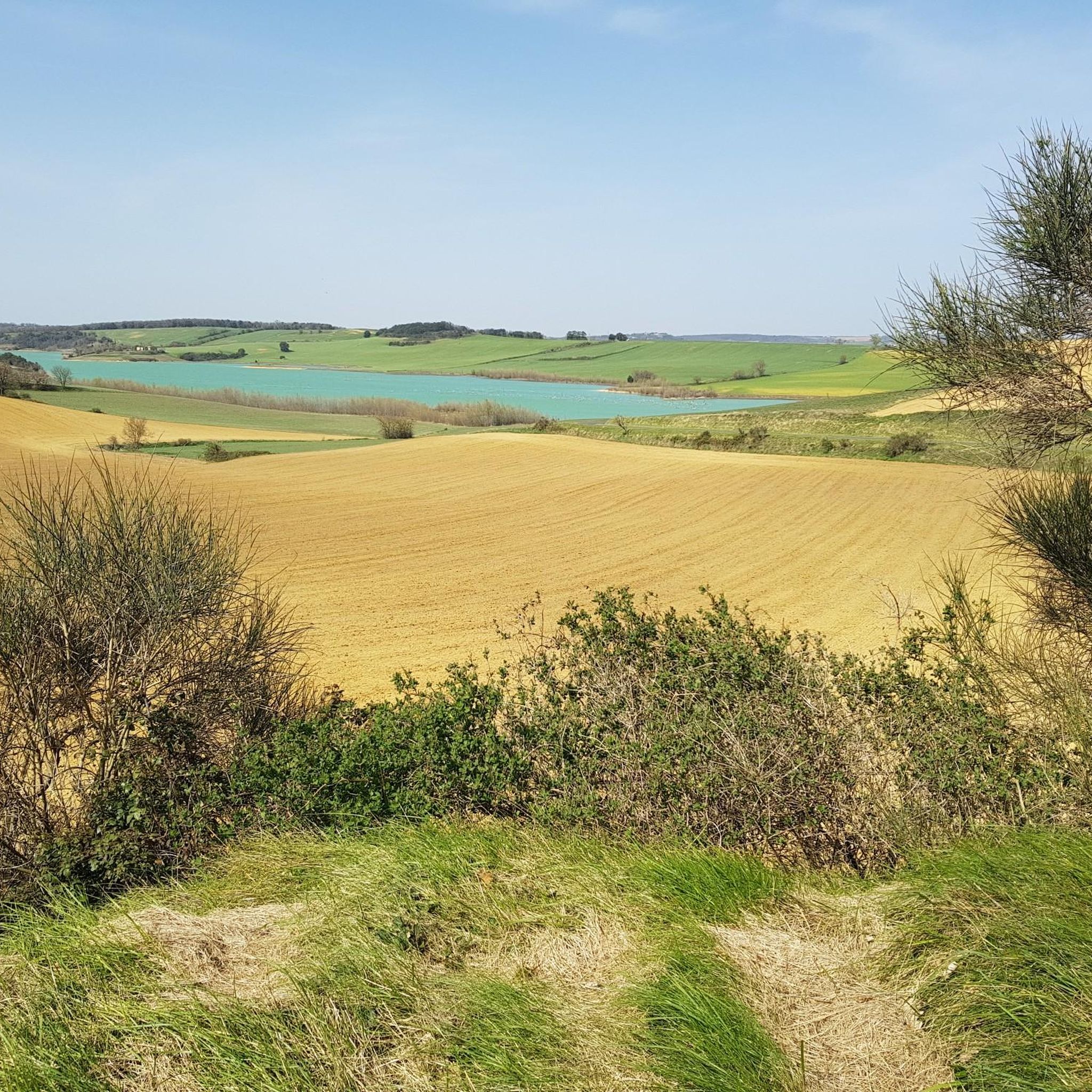
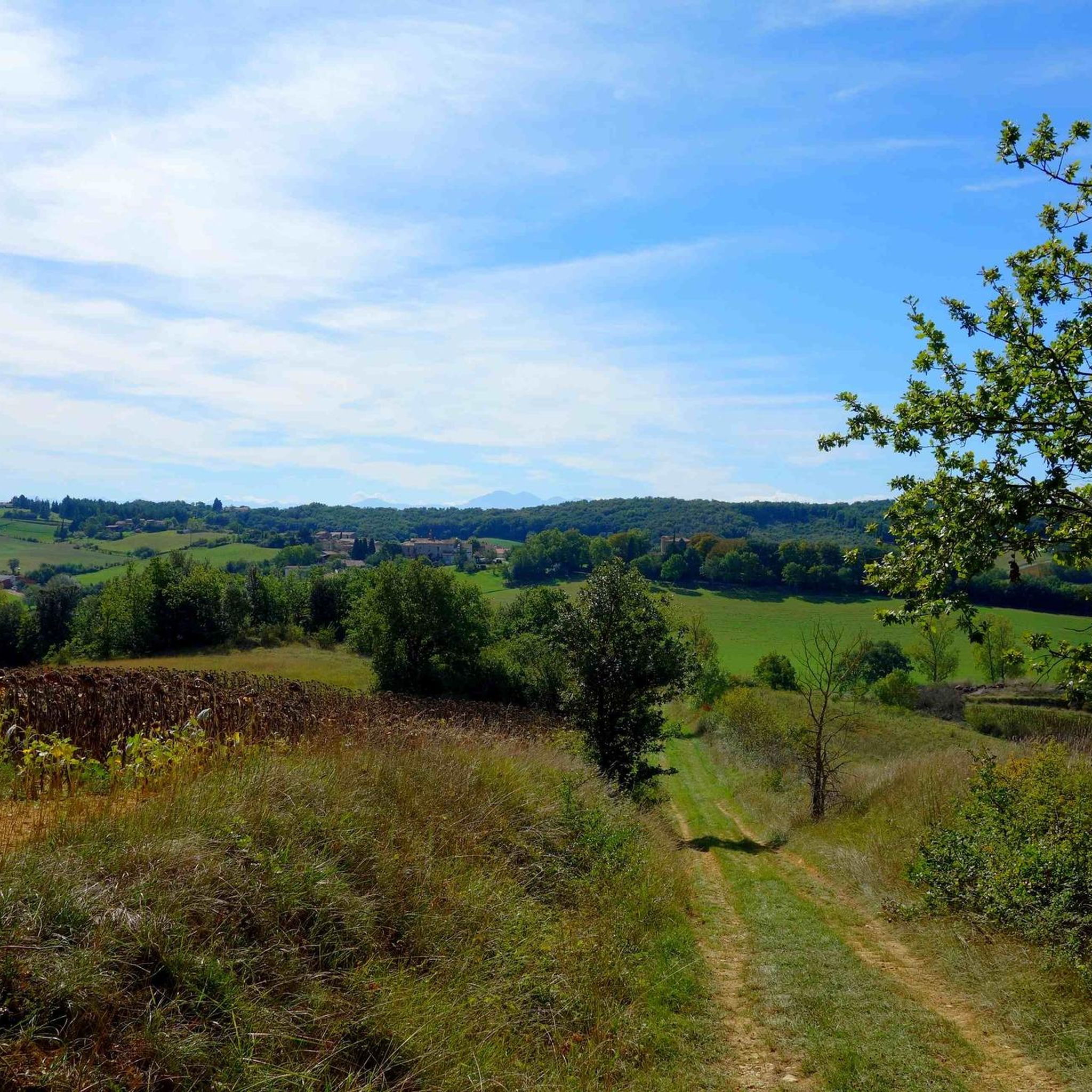
Molleville mountain bike trails offer a variety of routes for different skill levels. The area features a mix of terrain, including paths around the Naurouze Pass and loops near Lac de la Ganguise. Mountain biking routes in this region often include gentle climbs and descents, with some trails featuring more significant elevation changes. The landscape is characterized by open areas and routes that traverse agricultural lands and natural water bodies.
Best mountain bike trails around Molleville
- The most popular mountain…
Last updated: November 4, 2026
4.7
(3)
41
riders
46.6km
02:56
140m
140m
Moderate mountain bike ride. Good fitness required. Advanced riding skills necessary.
18
riders
33.4km
03:00
620m
620m
Moderate mountain bike ride. Good fitness required. Advanced riding skills necessary.

3.0
(2)
20
riders
83.5km
05:12
220m
220m
Hard mountain bike ride. Very good fitness required.
4.5
(2)
12
riders
40.1km
03:26
600m
600m
Moderate mountain bike ride. Good fitness required. Advanced riding skills necessary.
5.0
(2)
14
riders
Easy mountain bike ride.
Get access to more routes and recommendations from other explorers.
Already have an account?
Our route recommendations are based on thousands of hikes, rides, and runs completed by other people on komoot.
Start today with a free account
Your next adventure awaits.

Tips from the Community

The Canal du Midi, formerly Canal Royal, is a 17th-century technical feat designed by Pierre-Paul Riquet to connect the Atlantic to the Mediterranean. Today, it is above all a place for relaxation and discovery, where heritage, nature, and conviviality meet.
0
0
It is sometimes called the Naurouze lock because it is the closest lock to the Naurouze threshold. The Ocean lock marks the beginning of the ascending section of the canal when going from west to east.
0
0
Le Seuil de Naurouze is a strategic location in the operation and water supply of the Canal du Midi. The highest point on the canal's route, it is the birthplace as a watershed. Framed by the Ocean lock and the Mediterranean lock, it is from this site that the waters carried by the Rigole de la Plaine are distributed from one slope to the other.
0
0
The Seuil de Naurouze is a strategic location in the operation and water supply of the Canal du Midi. The highest point on the canal's route, it is the birthplace as a watershed. Flanked by the Ocean lock and the Mediterranean lock, it is from this site that the waters carried by the Rigole de la Plaine are distributed from one slope to the other.
0
0
The Mediterranean lock is a historic structure on the Canal du Midi built around 1670. Located in Mas-Saintes-Puelles (Aude), it marks the beginning of the downward slope towards the Mediterranean Sea. It was formerly called the Doctor's lock or Medici lock.
0
0
The Canal du Midi, as originally planned in 1666, was not supposed to pass through Castelnaudary. However, in 1671, the consuls of the town of Castelnaudary obtained a modification of the canal's route from King Louis XIV. Thus, the canal passes by the town gates, under the city walls.
0
0
The Canal du Midi, formerly Canal Royal, is a 17th-century technical feat designed by Pierre-Paul Riquet to connect the Atlantic to the Mediterranean. Today, it is above all a place for relaxation and discovery, where heritage, nature, and conviviality blend together.
0
0
Frequently Asked Questions
What kind of mountain biking terrain can I expect around Molleville?
Mountain biking around Molleville primarily features gentle climbs and descents across open landscapes and agricultural lands. You'll find paths around water bodies like Lac de la Ganguise and routes that traverse passes such as Naurouze. The terrain is generally accessible, making it suitable for various skill levels, though it's not known for challenging, technical mountain biking often found in dedicated bike parks.
Are there mountain bike trails suitable for beginners or families in Molleville?
Yes, Molleville offers several easy mountain bike trails perfect for beginners and families. These routes typically have minimal elevation gain and are shorter in distance. An example is the Écluse de l'Océan – Grand Bassin in Castelnaudary loop from Montferrand, which is an easy 29.6 km route with very little elevation change.
How many mountain bike trails are available in the Molleville area?
There are nearly 50 mountain bike trails available around Molleville. These routes cater to different abilities, with a good mix of easy, moderate, and a few more difficult options.
What are the typical distances and durations for mountain bike trails in Molleville?
Trail distances vary, ranging from shorter loops around 10 km to longer routes exceeding 40 km. Durations can range from just over an hour for shorter trails, like the Lac de la Ganguise – Lake Ganguise loop from Belflou (17.1 km, ~1 hour 5 minutes), to nearly four hours for more extensive rides such as the Cross – Col de Naurouse loop from Labastide-d'Anjou (44.3 km, ~3 hours 50 minutes).
Are there any challenging mountain bike routes for experienced riders?
While Molleville is generally known for its gentler terrain, there are some routes that offer more significant elevation changes and a moderate challenge. The Cross – Col de Naurouse loop from Labastide-d'Anjou, for instance, is a moderate 44.3 km path with over 700 meters of elevation gain, providing a more demanding experience through varied terrain.
What can I see along the mountain bike trails around Molleville?
Many routes in Molleville pass by notable natural and historical features. You can explore sections of the historic Canal du Midi, including the Écluse de l'Océan and the Grand Bassin in Castelnaudary. The trails also often lead around the scenic Lac de la Ganguise and through the picturesque Lauragais region, offering views of the Montagne Noire.
What do other mountain bikers enjoy most about Molleville?
The mountain bike trails around Molleville are highly rated by the komoot community, with an average score of 4.4 stars from over 60 reviews. Riders often praise the accessible nature of the routes, the scenic open landscapes, and the opportunities to cycle alongside waterways like the Canal du Midi and Lac de la Ganguise.
Are there mountain bike routes that are circular loops?
Yes, many of the mountain bike trails in Molleville are designed as circular loops, allowing you to start and end at the same point. Examples include the Lac de la Ganguise – Lake Ganguise loop from Belflou and the Lac de la Ganguise – Lake Ganguise loop from Gourvieille, both offering scenic rides around the lake.
When is the best time of year to go mountain biking in Molleville?
The Molleville area, located in the Aude department, generally offers pleasant conditions for mountain biking during spring and autumn, when temperatures are mild. Summer can be warm, but routes near waterways like the Canal du Midi might offer some shade. Winter riding is possible, but check local conditions as paths can be wet.
Can I find mountain bike trails that offer scenic viewpoints?
Yes, the Molleville area, situated within the Lauragais region, provides scenic views, particularly of the Montagne Noire and potentially the Pyrénées on clear days. Trails that traverse the 'Collines du Vent' (Hills of the Wind) itinerary are known for their spectacular, wind-swept landscapes.
Are there other outdoor activities to enjoy in Molleville besides mountain biking?
Molleville and its surroundings are well-suited for various outdoor activities beyond mountain biking. The gentle terrain and numerous waterways make it ideal for walking, jogging, and exploring historical sites. Many trails follow the Canal du Midi, perfect for leisurely strolls or road cycling. For more general information on activities in the region, you can visit audetourisme.com.
Most popular routes around Molleville
Most popular attractions around Molleville

Get inspired with the komoot mobile app


Explore more
Browse the best MTB trails in other regions.
