The 13 Most Amazing Peaks around Bolquère
Best mountain peaks around Bolquère are found in the heart of the Catalan Pyrenees, offering access to diverse mountain landscapes. The region features numerous peaks with trails ranging from moderate to challenging, providing panoramic views of surrounding valleys and lakes. Bolquère-Pyrénées 2000 is also a ski resort, with views of the Cerdan Plateau. The area is characterized by dramatic landscapes and a rich biodiversity.
Best mountain peaks around Bolquère
- The most popular mountain peaks is Summit of Pic Carlit, a summit culminating at 2,921 meters within an exceptional natural environment. It offers wide panoramas over the valley and its countless lakes.
- Another must-see spot is Mount Llaret, a summit that dominates Lake Aude at an altitude of 2,376 meters. It is accessible from Les Angles and its hiking trails, offering views of the Carlit and the Cerdagne valley.
- Visitors also love Peak of the Moors, a summit that culminates at 2,138 meters on the heights of Font-Romeu. Easy to access, it offers a remarkable panorama of the Pyrenees chain and the Cerdagne and Capcir plateaus.
- Bolquère is known for high-altitude summits, accessible viewpoints, and mountain passes. The region offers a variety of mountain peaks to see and explore, catering to different levels of hiking experience.
- The mountain peaks around Bolquère are appreciated by the komoot community, with 97 upvotes and 64 photos shared across the highlights.
Last updated: October 23, 2026
Summit of Pic Carlit
Highlight • Summit
Translated by Google •
Tip by

Pic de Finestrelles
Highlight • Summit
It is at the south-west end of the Eina district, at the south-east, also end, of Llo and at the northern limit, towards the north-west side, of Queralbs. It has Pic de Núria nearby to the east, Coll de Finestrelles to the southwest and Puigmal de Segre, or Llo, a little further to the southwest.
It has the singularity of being the mountain from which the world record of portraying the most distant landscape on the planet has been achieved. In other words, this means, from a point on the planet (not aerial means or from celestial bodies), to be able to grasp a horizon that is maximally distant and that is defined enough to identify its relief. Specifically, the Ecrins (French Alps) were photographed at dawn on July 16, 2016, so that the distance of 443 km to Pic Gaspard was covered. Two and a half years later it still stands as a world record.
Translated by Google •
Tip by

Sign up now to discover places like this
Get recommendations on the best single tracks, peaks, & plenty of other exciting outdoor places.
Col Mitjà
Highlight • Mountain Pass
Translated by Google •
Tip by

Cabane de Rouzet
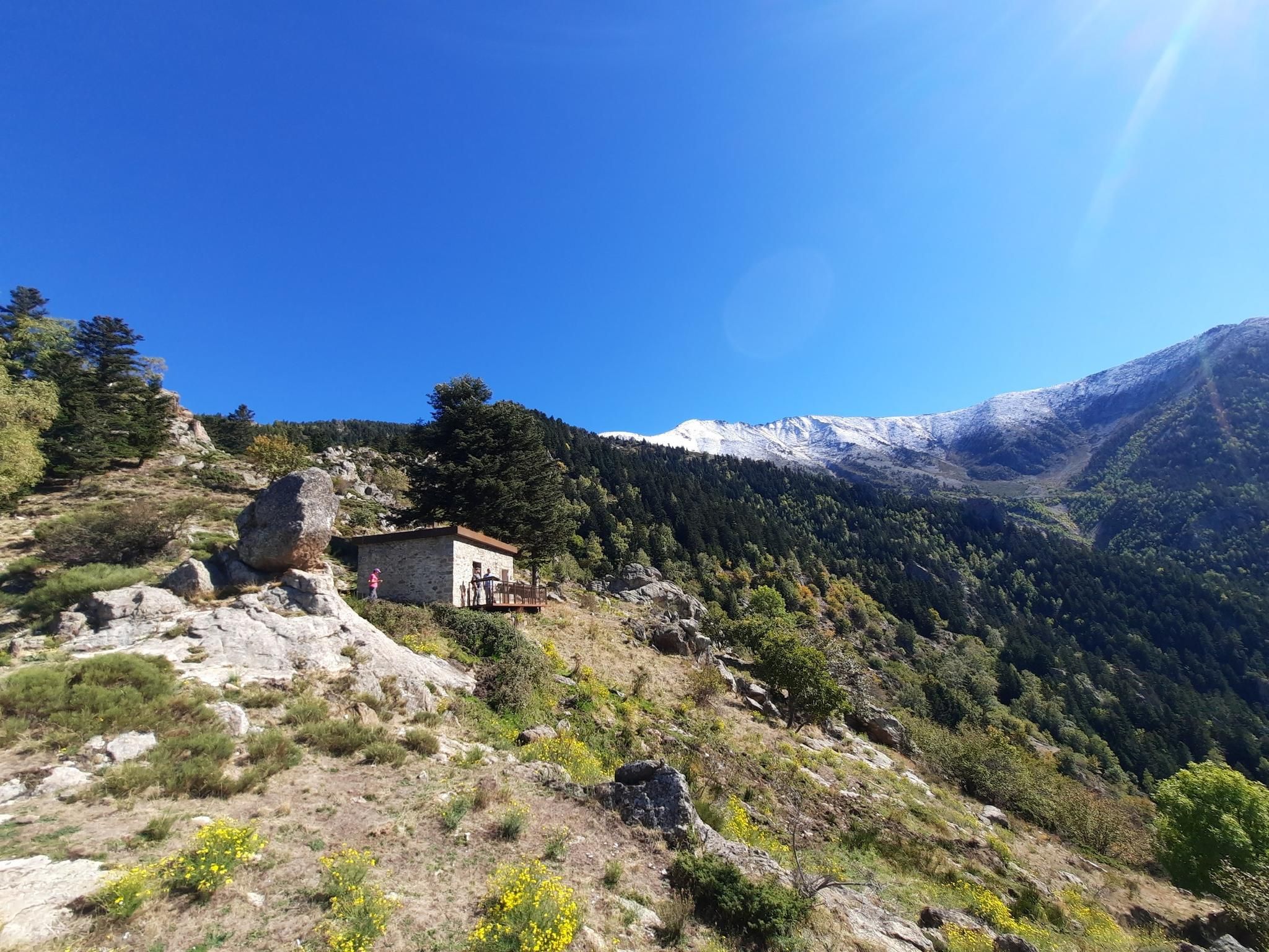
Highlight • Mountain Hut
In 1983 it was still in a pitiful condition. It was probably newly built. See image.
At the end of September, during my first crossing of the Pyrenees in 1983, it snowed at night and early in the morning there was 15 cm of fresh snow. It was a full moon night and there was a mystical atmosphere in this solitude.
I then escaped the snow via the GR7 to Porte-Puymorens and took the train around the area.
Translated by Google •
Tip by

Peak of the Moors
Highlight • Summit
Translated by Google •
Tip by

Sign up for free to discover even more peaks around Bolquère.
Already have an account?
Start today with a free account
Your next adventure awaits.
Other adventures around Bolquère

Tips from the Community


Carlit Peak is part of the Capcir granite massif, which is dotted with 27 lakes and small lakes in the Occitanie region, northwest of Font-Romeu. Its summit is located at 2921 meters, allowing you to observe an immense panorama (from Canigó to the Central Pyrenees).
1
2

This pedestrian pass allows hikers to switch from the Carança valley to the Riberola valley. It peaks at 2,367 meters and forms the junction between two magnificent peaks: Puigs Rodon to the south, and Gallinàs to the north.
5
0

Culminating at 2,921 meters, the peak of Carlit reigns within an exceptional natural environment. It offers wide panoramas over the valley and its countless lakes.
2
0
The Pic dels Moros culminates at 2,138 meters on the heights of Font-Romeu. Easy to access, it offers a remarkable panorama of the Pyrenees chain.
0
0


The Pic dels Moros, at an altitude of 2,138 meters west of Font-Romeu, offers magnificent views of Cerdanya.
1
0
Frequently Asked Questions
What are some of the most popular mountain peaks to visit around Bolquère?
The region around Bolquère offers several popular peaks. Among them, the Summit of Pic Carlit is highly regarded as the highest peak in the Eastern Pyrenees, offering extensive panoramas. Other notable peaks include Mount Llaret, known for its views over Lake Aude, and the Peak of the Moors, which provides remarkable views of the Pyrenean chain from Font-Romeu.
What kind of views can I expect from the mountain peaks near Bolquère?
From the mountain peaks near Bolquère, you can expect breathtaking panoramic views. Many peaks offer vistas of the surrounding valleys, the Cerdan and Capcir plateaus, and numerous high-altitude lakes. For instance, Pic Carlit provides unparalleled views stretching from the Canigó massif to the Central Pyrenees, encompassing 27 lakes.
Are there any easily accessible mountain peaks near Bolquère for less strenuous hikes?
Yes, for those seeking significant mountain views without extreme difficulty, Peak of the Moors (Pic dels Moros) is an excellent choice. Located above Font-Romeu at 2,138 meters, it is considered easy to access and offers a remarkable panorama. Mount Llaret (2,376 meters) is also relatively accessible from Les Angles and its hiking trails.
What are the most challenging mountain peaks for experienced hikers in the Bolquère area?
For experienced hikers, the ascent to the Summit of Pic Carlit (2,921 meters) is highly rewarding but challenging, requiring very good fitness and alpine experience. The Cambre d'Aze massif also offers demanding mountaineering routes, such as the Cambre d'Aze Summit loop, which can be a full-day hike.
What outdoor activities can I do near the mountain peaks around Bolquère?
Beyond peak bagging, the area around Bolquère's mountain peaks is a haven for outdoor enthusiasts. You can find numerous hiking trails, including sections of the long-distance GR10 footpath. There are also many cycling and gravel biking routes. For example, you can explore routes like the "Lac des Bouillouses – Sheepfold of the Jasse d'Amunt loop" for gravel biking or "Along the Têt river – Plà de Barrès River and Forest loop" for hiking. You can find more details on these activities in the Cycling around Bolquère, Hiking around Bolquère, and Gravel biking around Bolquère guides.
When is the best time to visit the mountain peaks around Bolquère for hiking?
The warmer months are generally the best time for hiking the mountain peaks around Bolquère, typically from late spring to early autumn. This period offers more favorable weather conditions for challenging ascents and enjoying the diverse glacial lakes. Winter transforms the region into a ski resort, offering different activities but requiring specific gear and experience for high-altitude peaks.
What natural features can I expect to see when hiking the peaks around Bolquère?
The mountains around Bolquère are characterized by dramatic landscapes, numerous lakes, and rich biodiversity. You'll encounter granite massifs, alpine meadows, and stunning cirques like that of Cambre d'Aze. Many peaks, such as Pic Carlit, are surrounded by countless high-altitude lakes, adding to the scenic beauty.
What is unique about Pic de Finestrelles?
Pic de Finestrelles, at 2,826.9 meters, holds the unique distinction of being the mountain from which the world record for portraying the most distant landscape on the planet was achieved. From this peak, the Ecrins (French Alps) were photographed at a distance of 443 km, a remarkable feat of long-distance photography.
Are there family-friendly mountain trails around Bolquère?
While some peaks offer challenging ascents, the region also provides options for families. Peaks like Peak of the Moors are noted for their easy access and rewarding views, making them suitable for less strenuous family outings. Look for trails marked as 'easy' or 'moderate' in the Hiking around Bolquère guide for suitable options.
What is the Cambre d'Aze massif known for?
The Cambre d'Aze massif is a prominent feature near Bolquère, renowned for its distinctive cirque. It offers a diverse range of outdoor activities, from challenging mountaineering routes in warmer months to skiing at the Cambre d'Aze - Eyne resort in winter. Its northern slopes provide excellent views towards Eyne, Font Romeu, and Pic du Carlit.
What is Col Mitjà and what does it offer?
Col Mitjà is a mountain pass located at 2,367 meters. It serves as a pedestrian route allowing hikers to transition between the Carança valley and the Riberola valley. It's known as a wonderful viewpoint and forms a junction between the Puigs Rodon to the south and Gallinàs to the north, offering expansive views.
Are there dog-friendly mountain walks near Bolquère?
Many trails in the Bolquère region are suitable for walking with dogs, especially those that are less technical and well-maintained. It's always advisable to keep dogs on a leash, especially in areas with livestock or protected wildlife. Check local regulations and trail conditions before heading out, particularly for higher-altitude or more challenging routes.
Most popular routes around Bolquère
Most popular attractions around Bolquère

Get inspired with the komoot mobile app


Explore more
See even more amazing summits around Bolquère with these guides:
