The best mountain hikes around Russin
4.4
(13)
71
hikers
5
hikes
Mountaineering routes around Russin are situated in the proximity of the Jura mountains, offering diverse terrain for outdoor enthusiasts. The region is characterized by limestone ridges, dense forests, and open alpine pastures, providing varied ascents and descents. These routes often feature panoramic views of the surrounding landscape, including Lake Geneva and the distant Alps. The elevation gains on these trails present a good challenge for mountaineers.
Best mountaineering routes around Russin
- The most popular mountaineering route is Le Reculet loop…
Last updated: July 11, 2026
4.7
(6)
27
hikers
10.7km
05:29
1,100m
1,100m
Hard mountaineering route. Very good fitness required. Mostly accessible paths. Sure-footedness required.
4.7
(6)
19
hikers
8.18km
04:15
840m
840m
Moderate mountaineering route. Good fitness required. Mostly accessible paths. Sure-footedness required.

Sign up for free
4.0
(1)
16
hikers
13.4km
05:48
1,120m
1,120m
Hard mountaineering route. Very good fitness required. Mostly accessible paths. Sure-footedness required.
7
hikers
8.29km
04:08
830m
830m
Moderate mountaineering route. Good fitness required. Mostly accessible paths. Sure-footedness required.
2
hikers
7.91km
02:40
380m
380m
Moderate mountaineering route. Good fitness required. Easily-accessible paths. Suitable for all skill levels.
Our route recommendations are based on thousands of hikes, rides, and runs completed by other people on komoot.
Start today with a free account
Your next adventure awaits.
Login or Signup
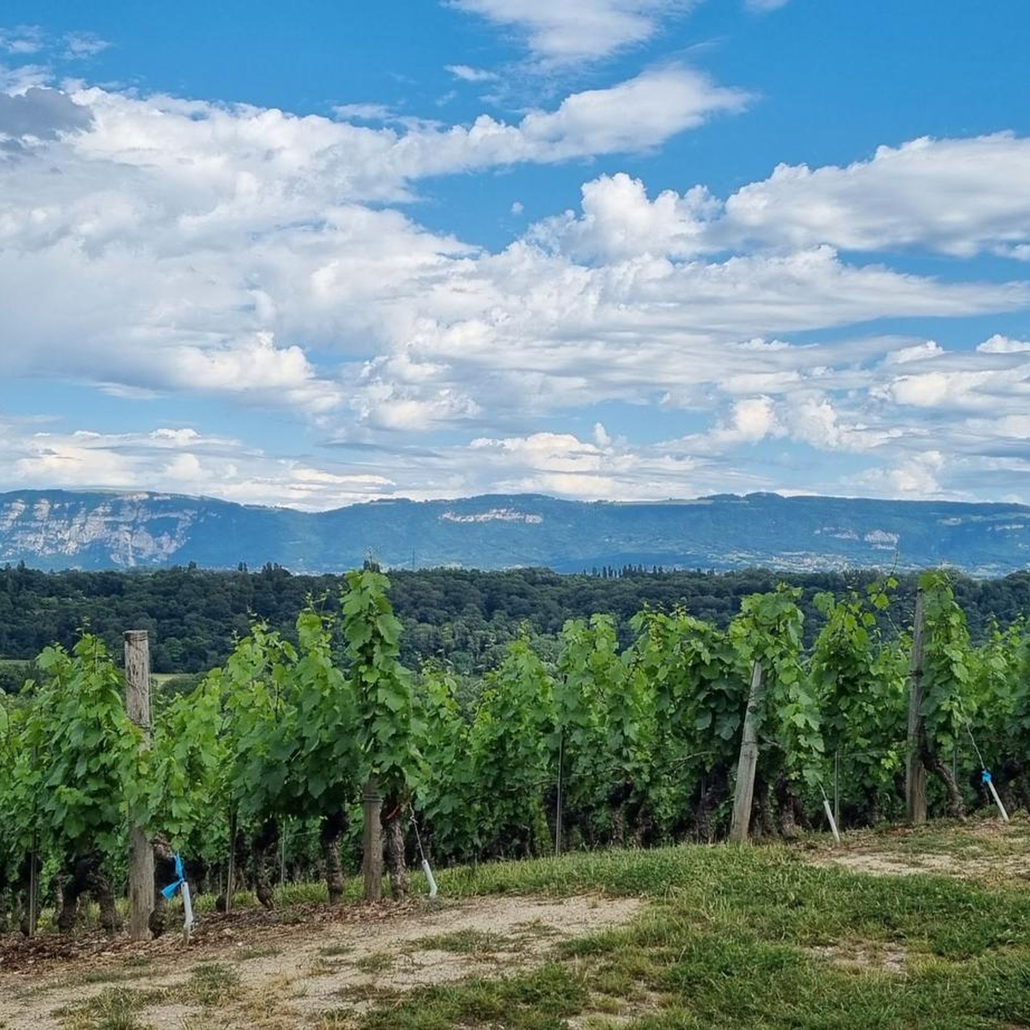
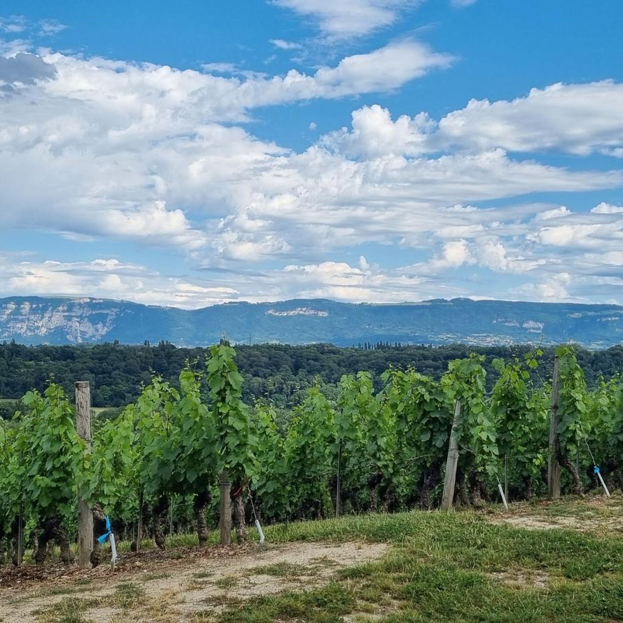
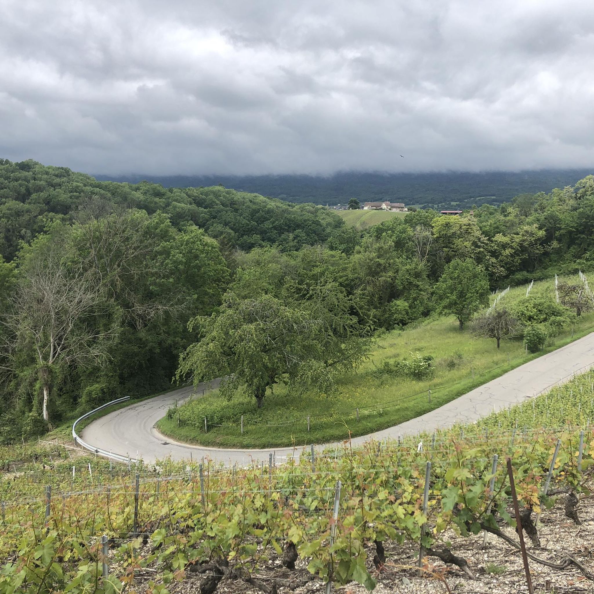
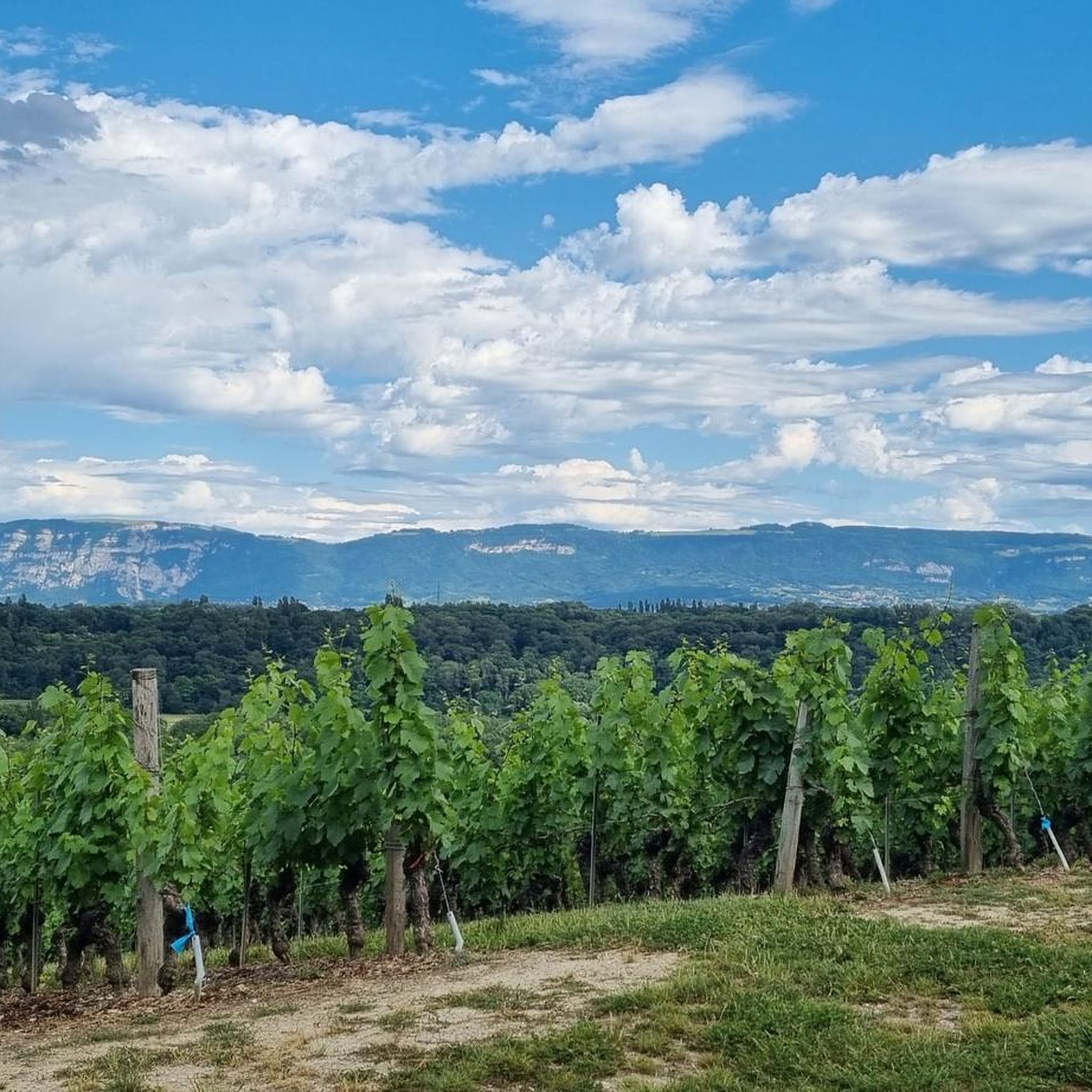

Tips from the Community

Summit in the forest, ideal for taking a break
0
0
Very beautiful 360° view with the added bonus of Mont Blanc when the weather permits
1
0

Super beautiful summit with a wonderful view! The climb is definitely worth it!
0
0

Highest peak in the Jura massif
0
0
Second highest peak in the Jura massif, magnificent viewpoint.
0
0

Very nice hike. Perfect with 2 children and a dog. However, there is no sign indicating that we are entering a nature reserve, just a sign when we leave.
0
0
Very beautiful view !
2
0
Frequently Asked Questions
How many mountaineering routes can I explore around Russin?
There are 5 distinct mountaineering routes available around Russin. These include 3 moderate and 2 difficult trails, offering a range of challenges for different skill levels.
What are the typical difficulty levels for mountaineering in Russin?
Mountaineering routes around Russin range from moderate to difficult. You'll find 3 moderate routes, such as Le Reculet – Somewhere on the ridge loop from Parking du Tiocan, and 2 difficult routes, including Le Reculet loop from Thoiry, providing varied challenges across limestone ridges and alpine pastures.
What do other mountaineers think about the routes in Russin?
The mountaineering routes in Russin are highly regarded by the komoot community, boasting an average score of 4.4 stars from over 10 reviews. Mountaineers often praise the varied terrain, panoramic views of Lake Geneva, and the challenging ascents.
Are there any circular mountaineering routes in Russin?
Yes, many of the mountaineering routes around Russin are circular. For example, the difficult Crêt der la Neige – Somewhere on the ridge loop from Thoiry offers a challenging loop experience, while the moderate Le Reculet loop from Parking du Tiocan provides a scenic circular path through forested slopes.
What kind of natural features can I expect to see on the mountaineering routes?
The mountaineering routes around Russin are characterized by limestone ridges, dense forests, and open alpine pastures. You'll encounter diverse landscapes and often enjoy panoramic views of the surrounding region, including Lake Geneva and the distant Alps.
Are there any interesting landmarks or attractions near the mountaineering routes in Russin?
Absolutely! Beyond the trails, you can explore several nearby attractions. Consider visiting the historic Commandery of Compesières or the charming Château de Dardagny. For natural beauty, the Jet d'Eau and the Lake Geneva waterfront are also within reach.
What is the longest mountaineering route available in Russin?
The longest mountaineering route is the difficult Crêt der la Neige – Somewhere on the ridge loop from Thoiry, which spans 8.3 miles (13.3 km) and typically takes around 5 hours 47 minutes to complete.
What is the shortest mountaineering route in Russin?
The shortest mountaineering route is the moderate Tiocan – Grottes de Chazuet loop from Thoiry, covering 5 miles (8.0 km) and usually taking about 2 hours 42 minutes.
Which route offers the most significant elevation gain?
The route with the most significant elevation gain is the difficult Crêt der la Neige – Somewhere on the ridge loop from Thoiry, featuring an ascent of approximately 1,122 meters (3,682 feet).
Are there any moderate mountaineering options for those looking for a less strenuous climb?
Yes, there are several moderate options. The Le Reculet – Somewhere on the ridge loop from Parking du Tiocan is a moderate 7.9 km route, and the Tiocan – Grottes de Chazuet loop from Thoiry is another moderate choice at 8.0 km, both offering rewarding experiences without extreme difficulty.
What kind of views can I expect from the mountaineering trails?
Many routes offer expansive panoramic views, particularly from the higher ridges. You can often see across the surrounding landscape, including the sparkling waters of Lake Geneva and the majestic distant Alps.
How long do the mountaineering routes typically take to complete?
The duration of the routes varies depending on their length and difficulty. For instance, the difficult Le Reculet loop from Thoiry takes approximately 5 hours 24 minutes, while the moderate Le Reculet loop from Parking du Tiocan can be completed in about 4 hours 8 minutes.
Most popular attractions around Russin

Get inspired with the komoot mobile app


Explore more
Browse the best Mountain Hikes & Routes in other regions.
