The best running trails around Derendingen
4.0
(3)
217
runners
16
runs
Jogging routes around Derendingen offer access to diverse natural landscapes, including riverine paths and tranquil lake areas. The region is characterized by its proximity to the Aare and Emme rivers, providing flat terrain along waterways. Runners can also explore agricultural fields, green meadows, and dense forests that define the Wasseramt area. The idyllic Burgäschisee is another notable feature, offering serene routes around its shores.
Best jogging routes around Derendingen
- The most popular jogging route is Emme Wetlands loop from Bezirk Wasseramt, a 3.9 miles (6.2 km) trail that takes 38 minutes to complete, leading through the natural Emme Wetlands.
- Another top favourite among local runners is Emmesteg Kräiligen – Emme Wetlands loop from Bezirk Wasseramt, a difficult 12.9 miles (20.7 km) path. This longer route follows the Emme River, offering extensive views of the riverine landscape.
- Local runners also love the Canteen 1881 – Red Bridge loop from Bezirk Wasseramt, a 7.6 miles (12.3 km) trail leading through varied terrain near the Emme, often completed in about 1 hour 18 minutes.
- Jogging around Derendingen is defined by its river paths along the Aare and Emme, the serene Burgäschisee, and a mix of agricultural fields and forests. This network offers options for different ability levels, from flat riverside runs to routes with gentle elevation changes.
- The routes in Derendingen are highly rated by the komoot community with an average score of 3.0 stars from over 2 reviews. More than 200 runners have used komoot to explore Derendingen's varied terrain.
Last updated: June 27, 2026
3.0
(2)
65
runners
8.66km
00:54
30m
30m
Moderate run. Good fitness required. Mostly paved surfaces. Suitable for all skill levels.
5.0
(1)
52
runners
20.5km
02:12
90m
90m
Hard run. Very good fitness required. Mostly paved surfaces. Suitable for all skill levels.

Sign up for free
24
runners
12.3km
01:18
60m
60m
Moderate run. Good fitness required. Mostly paved surfaces. Suitable for all skill levels.
14
runners
6.71km
00:41
10m
10m
Moderate run. Good fitness required. Mostly paved surfaces. Suitable for all skill levels.
14
runners
13.8km
01:28
50m
50m
Moderate run. Good fitness required. Mostly paved surfaces. Suitable for all skill levels.
Get access to more routes and recommendations from other explorers.
Sign up for free
Already have an account?
Our route recommendations are based on thousands of hikes, rides, and runs completed by other people on komoot.
Start today with a free account
Your next adventure awaits.
Login or Signup

Tips from the Community

1881 Kantine - the culinary meeting place on the Aare. Succulent meat specialties or vegan delicacies, freshly prepared daily - whether to take away or enjoy on site. Info: https://www.1881kantine.ch/de/
0
0


It must be very nice to sit here when the sun is shining!
1
0

The Emme has been extensively renaturalized. A lot has been done from a dreary, straight river from Emmenspitz (Luterbach) to almost Burgdorf. The riverbed has been widened, trees have been cleared, space has been created. It is well worth cycling along it!!
1
0


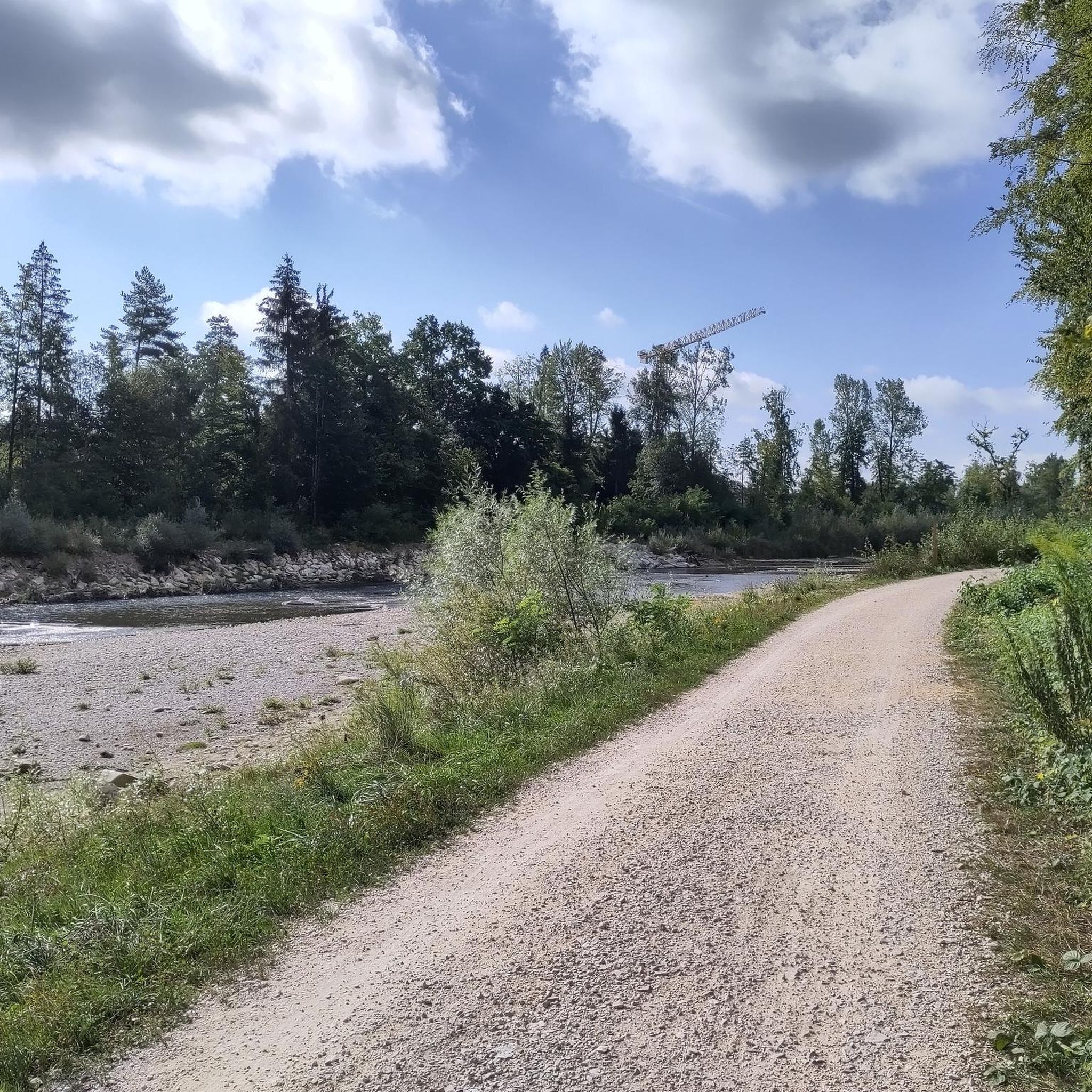
Nice MTB or gravel path. Stop at the power plant, opposite there is a beautiful, small lake
0
0

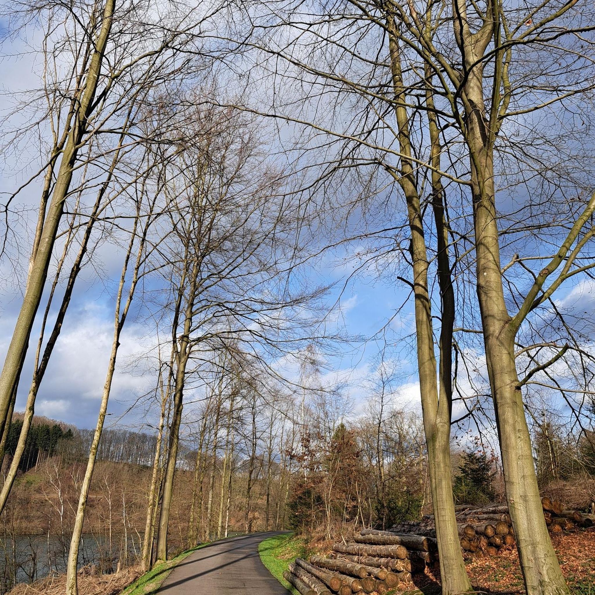
Another beautiful piece of forest path along the Emme. Here you run through shady, fresh forest along the Emme. Fresh and cool forest air provides the mind with a great running experience through lush nature.
0
0
Frequently Asked Questions
What types of landscapes can I expect on running routes around Derendingen?
Running routes around Derendingen offer a diverse mix of landscapes. You'll find tranquil riverine paths along the Aare and Emme rivers, serene trails around the idyllic Burgäschisee, and routes that traverse agricultural fields, green meadows, and dense forests typical of the Wasseramt area.
Are there any long-distance running options in Derendingen?
Yes, for those seeking a longer run, the Emmesteg Kräiligen – Emme Wetlands loop from Bezirk Wasseramt is a challenging 12.9 miles (20.7 km) route. It follows the Emme River, providing extensive views of the riverine landscape.
What is the community's general impression of the running trails in Derendingen?
The running routes in Derendingen are highly rated by the komoot community, with an average score of 3.0 stars from over 2 reviews. Runners often praise the varied terrain and scenic beauty, particularly the river paths and natural wetlands.
Are there any family-friendly jogging routes in the area?
Many routes around Derendingen are suitable for families, especially those with flatter terrain. The Emme Wetlands loop from Bezirk Wasseramt, at 3.9 miles (6.2 km), is a moderate option that leads through natural wetlands and is generally well-suited for a family outing.
Can I bring my dog on the running trails in Derendingen?
Yes, many of the natural paths and open areas around Derendingen are dog-friendly. When running with your dog, especially near agricultural fields or populated areas, it's always best to keep them on a leash and ensure you clean up after them. Specific regulations may apply in nature reserves, so always check local signage.
Are there any circular running routes available?
Yes, many routes around Derendingen are designed as loops, offering a convenient way to start and end your run at the same point. Examples include the popular Emme Wetlands loop from Bezirk Wasseramt and the Alte Oesch loop from Bezirk Wasseramt.
What natural features or landmarks can I see along the running paths?
Along the running paths, you can enjoy the natural beauty of the Emme Wetlands and the Emme River itself. The region's proximity to the Aare River also means riverine scenery is common. For broader natural attractions, the idyllic Burgäschisee is a significant highlight, offering serene views and a refreshing atmosphere.
Where can I find parking for the running routes?
Parking availability varies by trailhead. For routes like the Emme Wetlands loop from Bezirk Wasseramt, you can often find parking in or near the starting points within Bezirk Wasseramt. It's advisable to check specific route details on komoot for designated parking areas.
Are there any viewpoints or scenic spots along the trails?
While specific viewpoints are not always marked, the region's varied terrain, including open fields and certain elevated paths, offers inspiring vistas. The 'Buechibärg route' in the wider vicinity, for example, is known for unique views of the Jura chain, suggesting similar panoramic opportunities can be found in the Derendingen area, especially along routes that traverse higher ground or open meadows.
What is the best time of year to go running in Derendingen?
Derendingen offers enjoyable running conditions throughout much of the year. Spring and autumn provide pleasant temperatures and beautiful scenery with changing foliage. Summer is ideal for early morning or late evening runs to avoid the heat, especially along shaded forest trails or by the water. Winter running is also possible, though some paths might be muddy or icy, so appropriate footwear is recommended.
Are there any cafes or restaurants near the running routes?
Yes, Derendingen and its surrounding towns offer various options for refreshments. While not directly on every trail, you can often find cafes and restaurants in the villages and towns close to the starting or ending points of many running routes, such as the Canteen 1881 mentioned in the Canteen 1881 – Red Bridge loop from Bezirk Wasseramt route description.
How accessible are the running trails by public transport?
Many running routes in the Derendingen area are accessible via public transport, particularly those starting from or passing through towns and villages with bus or train connections. For example, routes along the Emme River are often reachable from nearby public transport stops. Checking local bus and train schedules for specific trailheads is recommended.
What is the typical elevation gain on running routes in Derendingen?
The running routes around Derendingen generally feature gentle elevation changes, making them suitable for various fitness levels. Many riverine paths are relatively flat. For instance, the Emme River – Emmesteg Kräiligen loop from Bezirk Wasseramt has an elevation gain of about 50 meters over 13.7 km, while the Emme Wetlands loop from Bezirk Wasseramt has only about 22 meters over 6.2 km.
Most popular routes around Derendingen
Most popular attractions around Derendingen

Get inspired with the komoot mobile app


Explore more
Browse the best Running Trails & Routes in other regions.
