The best cycling routes around Derendingen
4.4
(1331)
10,883
riders
486
rides
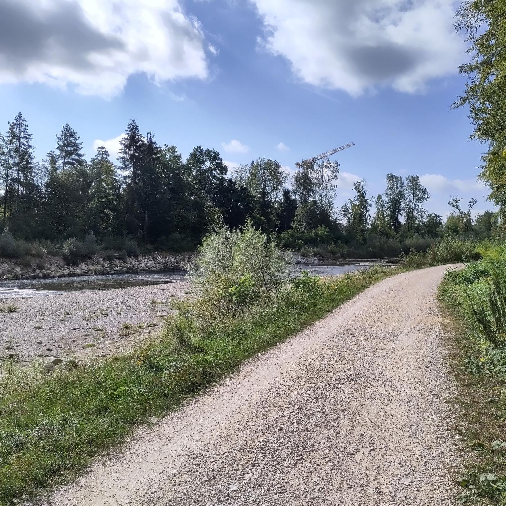
Touring cycling around Derendingen offers routes through varied landscapes in the canton of Solothurn, Switzerland. The region features riverine scenery along the Emme and Aare rivers, extensive agricultural land, and forested areas. Cyclists can expect to traverse green meadows and dense forests, with views extending to the Jura chain and into the Emmental hills.
Best touring cycling routes around Derendingen
- The most popular touring cycling route is Aare riverbank in Solothurn – Stork colony in Altreu loop from Biberist Ost…
Last updated: October 5, 2026
4.4
(5)
84
riders
Moderate bike ride. Good fitness required. Mostly paved surfaces. Suitable for all skill levels.
4.3
(3)
67
riders
Easy bike ride. Great for any fitness level. Mostly paved surfaces. Suitable for all skill levels.

3.3
(3)
36
riders
12.2km
00:57
30m
30m
Easy bike ride. Great for any fitness level. Mostly paved surfaces. Suitable for all skill levels.
4.0
(5)
24
riders
22.2km
01:19
100m
100m
Easy bike ride. Great for any fitness level. Mostly paved surfaces. Suitable for all skill levels.
20
riders
24.5km
01:35
170m
170m
Moderate bike ride. Good fitness required. Mostly paved surfaces. Suitable for all skill levels.
Get access to more routes and recommendations from other explorers.
Already have an account?
Our route recommendations are based on thousands of hikes, rides, and runs completed by other people on komoot.
Start today with a free account
Your next adventure awaits.
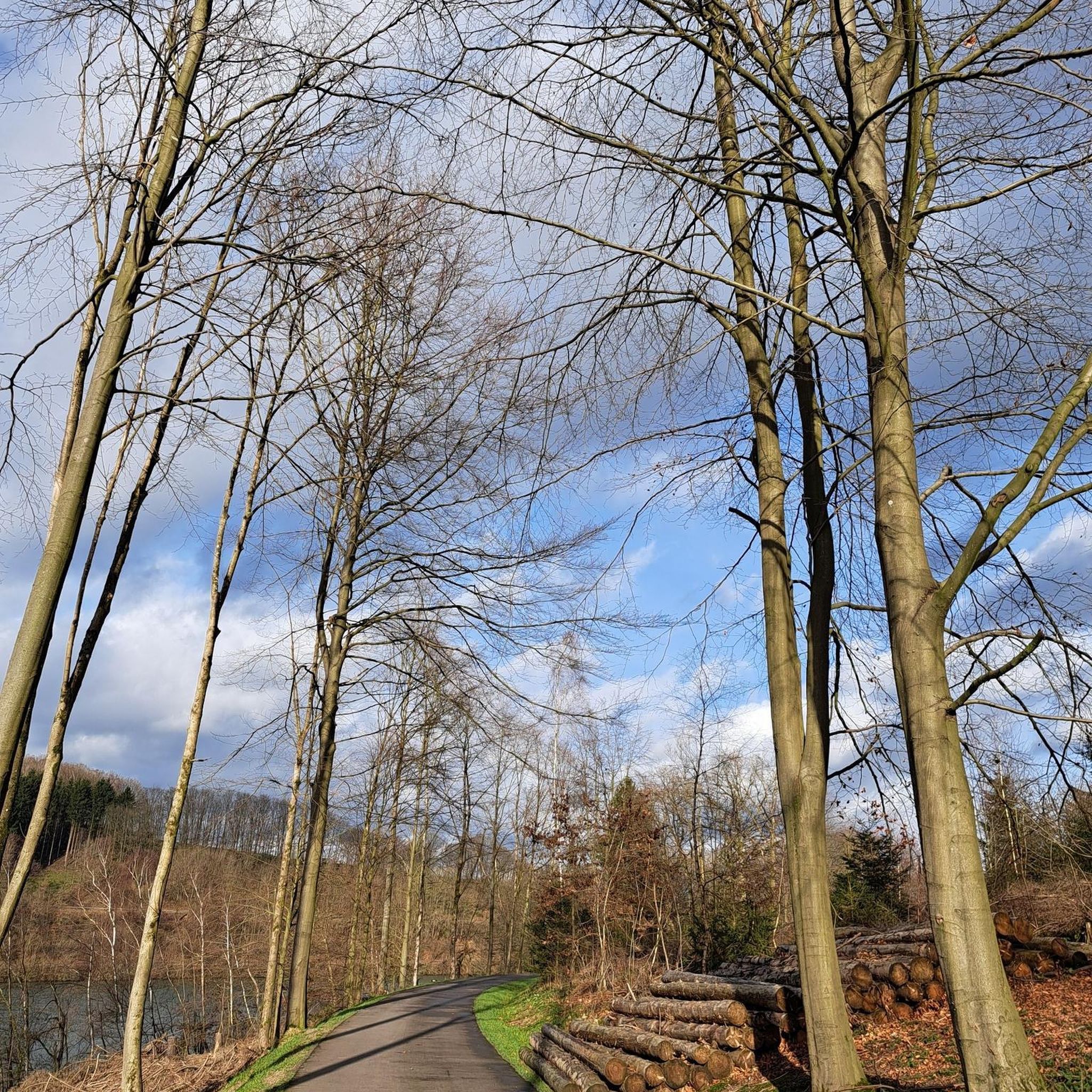
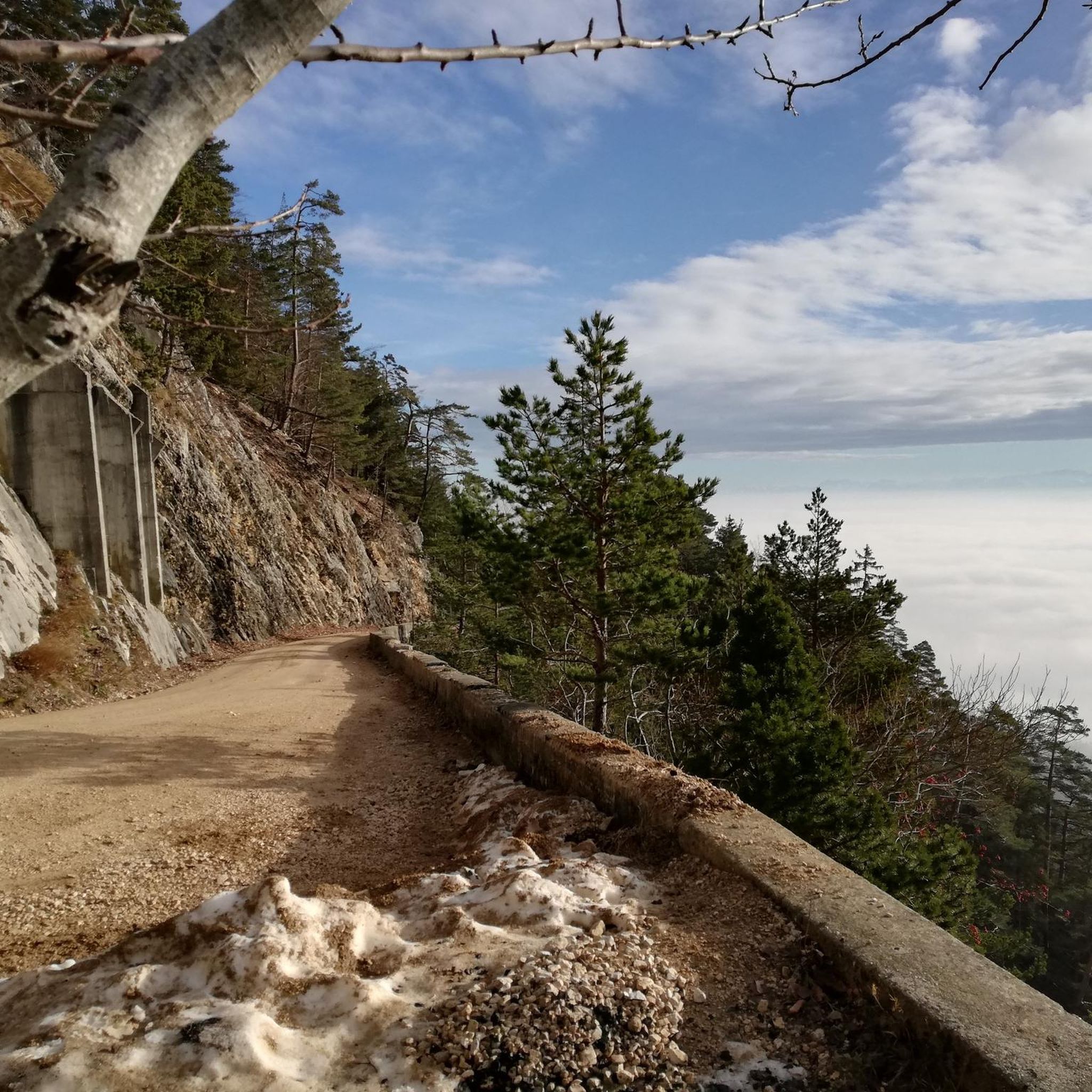
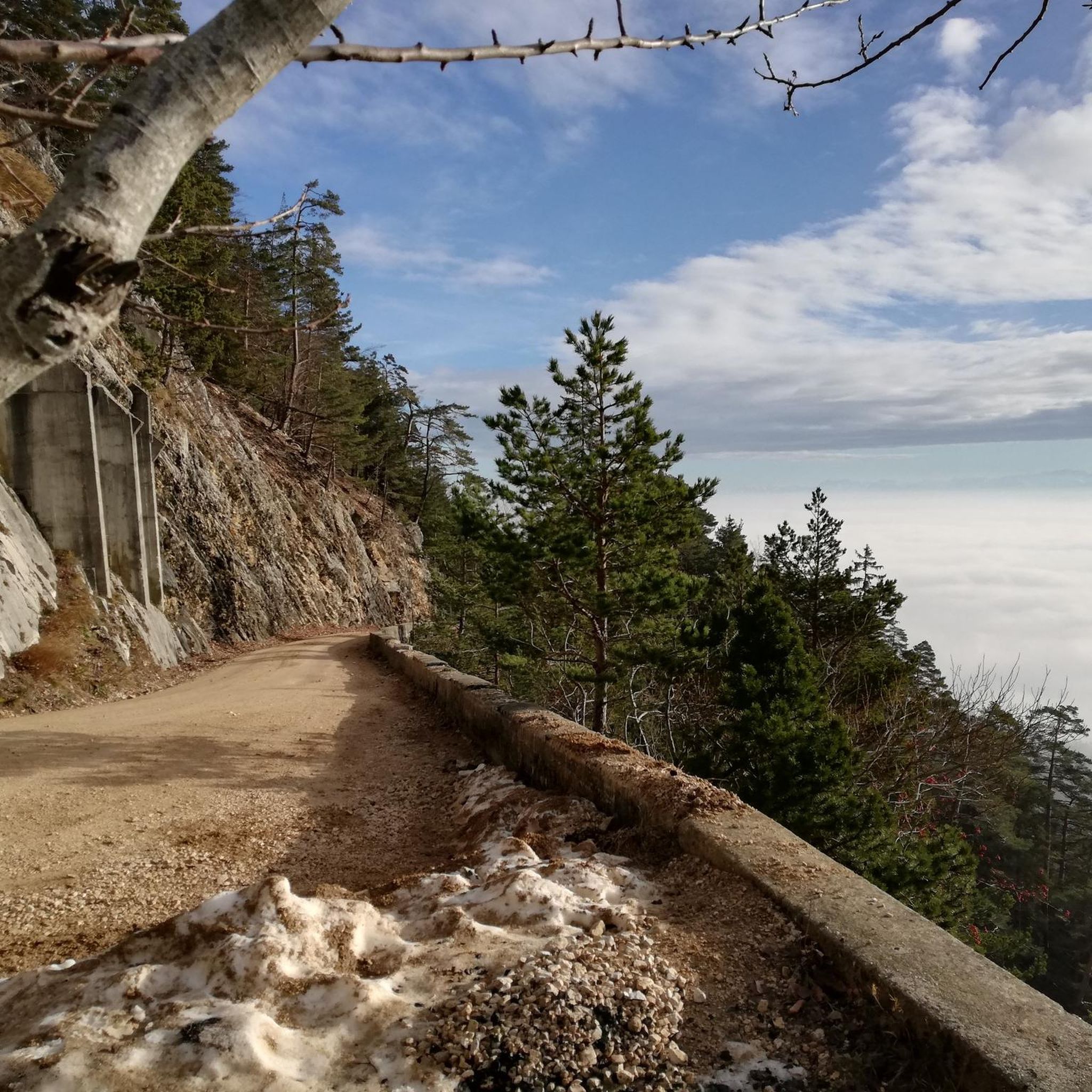
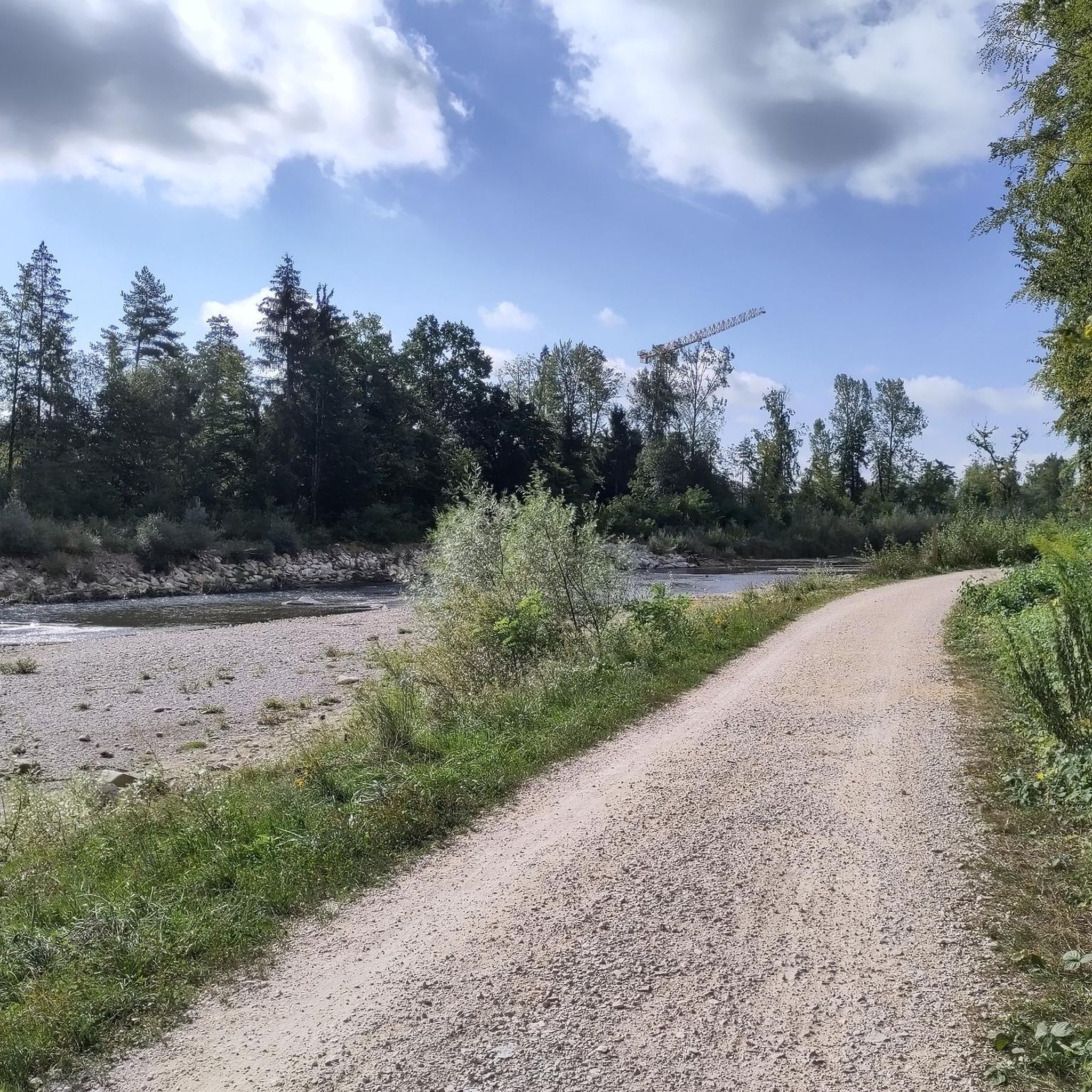

Tips from the Community

Solothurn really has a very worthwhile old town!
0
0

Beautiful barbecue area with plenty of space to play
0
0

Besides the old wooden bridge, the Salt House is probably the most mentioned building in Wangen an der Aare
0
0
The Zytgloggetrum is one of two remaining city gates. Along with the old wooden bridge and the imposing Salt House, it is one of the town's landmarks.
0
0

With a little luck you might see a kingfisher here.
0
0

Very practical. Very good water quality.
0
0

Storks have settled and built nests on a number of houses in Altreu. Stork chicks can also be observed here in mid- to late June.
0
0

Drink a Kilkannan in the pub
0
0
Frequently Asked Questions
How many touring cycling routes can I explore around Derendingen?
There are over 500 touring cycling routes available around Derendingen, catering to various preferences and skill levels. These routes cover diverse landscapes, including river valleys, agricultural fields, and forests.
What kind of terrain can I expect on touring cycling routes near Derendingen?
The terrain around Derendingen is quite varied. You'll find routes along the picturesque Emme and Aare rivers, through green meadows, and dense forested areas. Some routes offer views of the Jura chain and extend into the rolling Emmental hills. While many are relaxed rides, there are also more challenging options with significant elevation gains, some of which may include unpaved segments suitable for gravel or mountain biking.
Are there any easy touring cycling routes suitable for beginners or relaxed rides?
Yes, Derendingen offers many easy routes. For a relaxed ride, consider the Drinking Water Fountain – Aare riverbank in Solothurn loop from Bezirk Wasseramt, an easy 9.3-mile (14.9 km) path featuring the Aare riverbank. Another easy option is the Bridge Over the Emme – Emme River loop from Biberist Ost, a 7.6-mile (12.2 km) trail through the Emme River valley.
What are some popular landmarks or natural features to see along the touring cycling routes?
Many routes offer scenic views and pass by notable features. You can cycle along the Aare and Emme rivers, enjoy views of the Jura chain, and explore agricultural lands. The Aare riverbank in Solothurn – Stork colony in Altreu loop from Biberist Ost, for example, follows the Aare riverbank and passes a stork colony. The region also features the idyllic Burgäschisee, which is a highlight on routes like the Wasseramt Route No. 802.
Are there any circular touring cycling routes around Derendingen?
Yes, many routes around Derendingen are designed as loops, allowing you to start and finish in the same location. Examples include the Aare riverbank in Solothurn – Stork colony in Altreu loop from Biberist Ost and the Beautiful gravel route – Inkwilersee loop from Bezirk Wasseramt. These circular routes make planning your ride convenient.
What is the best time of year for touring cycling in Derendingen?
Cycling around Derendingen is particularly popular between May and July, when the weather is generally favorable for outdoor activities. During these months, you can enjoy the green meadows and riverine scenery at their best. However, the region offers enjoyable cycling conditions throughout the warmer months.
What do other touring cyclists say about the routes in Derendingen?
The touring cycling routes around Derendingen are highly rated by the komoot community, with an average score of 4.5 stars from over 1000 reviews. Cyclists often praise the varied landscapes, the well-maintained paths along the rivers, and the opportunities to discover both natural beauty and charming villages.
Are there any family-friendly touring cycling routes in the area?
Many of the easier, flatter routes along the rivers and through agricultural areas are suitable for families. These paths often have minimal elevation gain and offer a relaxed cycling experience. The Drinking Water Fountain – Aare riverbank in Solothurn loop from Bezirk Wasseramt is an easy option that families might enjoy.
What are some nearby attractions or points of interest I can visit while cycling?
While cycling, you can explore several interesting points. The Aare River Promenade in Solothurn is a pleasant spot. You might also consider visiting the Verenaschlucht and Hermitage, a scenic gorge with a hermitage, or the historic Wangen an der Aare Covered Wooden Bridge. For panoramic views, the Weissenstein viewpoint is also accessible from the region.
How long do touring cycling routes around Derendingen typically take to complete?
Route durations vary significantly based on distance and difficulty. Shorter, easy routes like the Bridge Over the Emme – Emme River loop from Biberist Ost can be completed in under an hour. Moderate routes, such as the Cycle Path Subingen–Derendingen – Lake Burgäschi loop from Bezirk Wasseramt, which is 15.1 miles (24.2 km), typically take around 1 hour 30 minutes to 2 hours.
Are there any routes that feature lakes or water bodies for swimming?
Yes, the region is known for its proximity to the Burgäschisee, where swimming is possible during the summer. Routes like the Wasseramt Route No. 802, which connects Solothurn to Herzogenbuchsee, highlight this idyllic lake. The Beautiful gravel route – Inkwilersee loop from Bezirk Wasseramt also features a lake.
Most popular routes around Derendingen
Most popular attractions around Derendingen

Get inspired with the komoot mobile app


Explore more
Browse the best Cycling routes in other regions.
