The best walks and hikes around Gigors
4.4
(222)
1,274
hikers
51
hikes
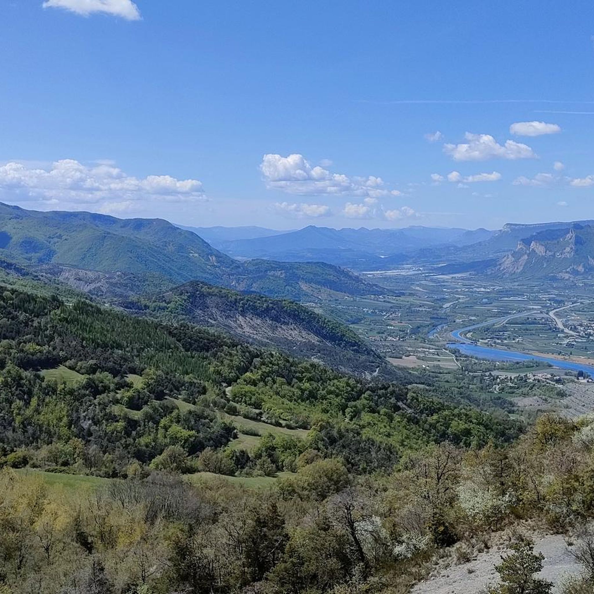
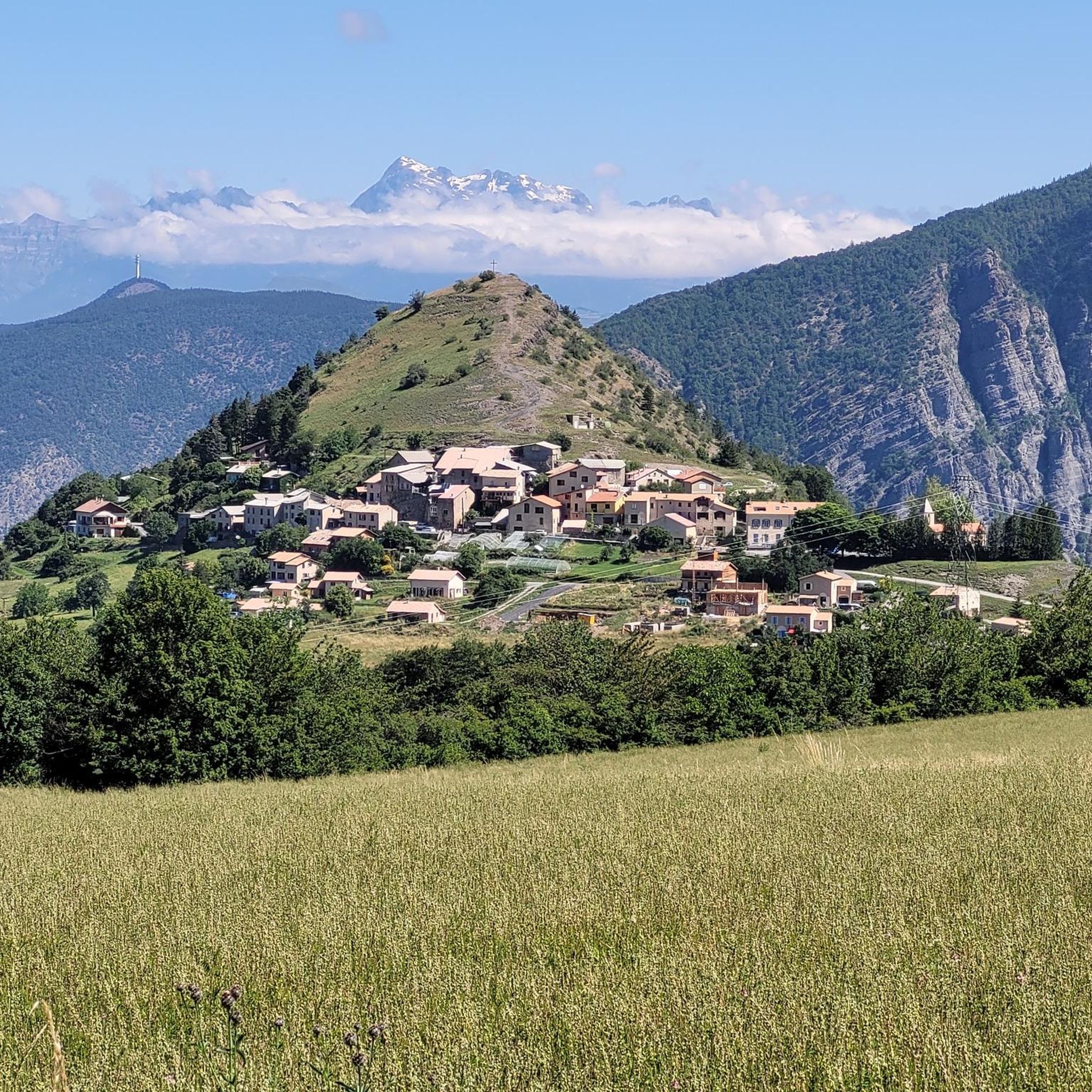
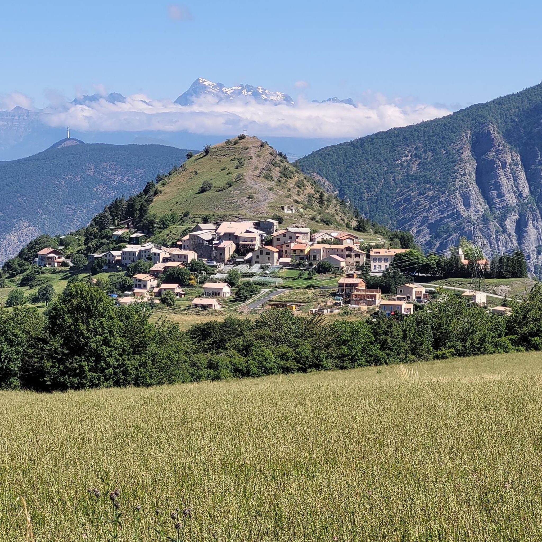
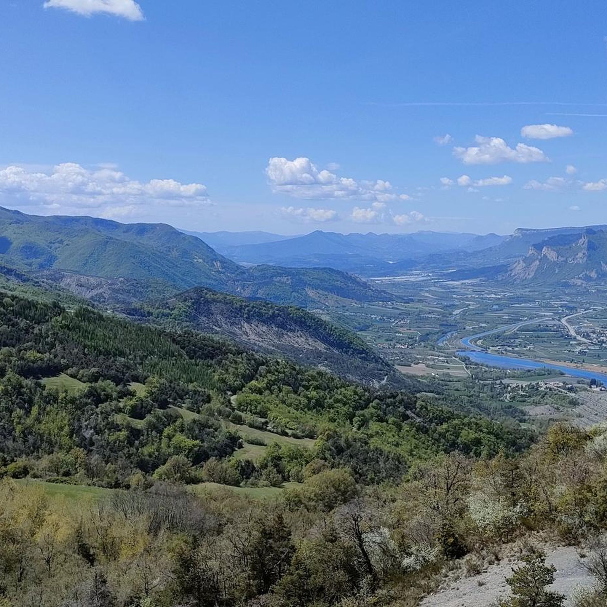
Hiking around Gigors offers diverse terrain within the Alpes-de-Haute-Provence and Drôme departments, bordering the Vercors Regional Natural Park. The region features hills and small mountains, with elevations ranging from 806 meters to 1,586 meters, characteristic of the French Alps foothills. Trails often traverse beech forests, open grassy valleys, and ridges, providing varied landscapes for outdoor activities. Panoramic viewpoints are common, offering extensive vistas over surrounding massifs and valleys, including the Rhône Valley and Vercors Massif.
Best hiking trails around Gigors
…Last updated: July 8, 2026
4.7
(3)
17
hikers
5.71km
02:13
400m
400m
Moderate hike. Good fitness required. Easily-accessible paths. Suitable for all skill levels.
5.0
(4)
12
hikers
18.4km
06:21
960m
960m
Hard hike. Very good fitness required. Easily-accessible paths. Suitable for all skill levels.

Sign up for free
4.3
(4)
7
hikers
7.59km
02:34
370m
370m
Moderate hike. Good fitness required. Easily-accessible paths. Suitable for all skill levels.
3.7
(3)
9
hikers
5.13km
01:30
150m
150m
Easy hike. Great for any fitness level. Easily-accessible paths. Suitable for all skill levels.
5.0
(3)
3
hikers
12.2km
03:56
510m
510m
Moderate hike. Good fitness required. Easily-accessible paths. Suitable for all skill levels.
Get access to more routes and recommendations from other explorers.
Sign up for free
Already have an account?
Our route recommendations are based on thousands of hikes, rides, and runs completed by other people on komoot.
Start today with a free account
Your next adventure awaits.
Login or Signup
Tips from the Community

Easy hike for all audiences, trails and markings rehabilitated by the students of the hiking workshop at the Marie Marvingt college in Tallard, under the direction of their teacher Laurence Maurel.
0
0

A magnificent place between road and paths. Switchbacks and stone paths in good condition.
0
1

360 degree view and orientation table - magnificent summit
0
0
Frequently Asked Questions
How many hiking trails are available in Gigors?
There are over 50 hiking routes around Gigors, offering a diverse range of experiences. These include 21 easy trails, 33 moderate routes, and 3 more challenging options for experienced hikers.
What kind of terrain can I expect on hikes around Gigors?
Hiking around Gigors features a varied landscape of hills and small mountains, with elevations ranging from 806 meters to 1,586 meters. Trails often traverse beech forests, open grassy valleys, and scenic ridges, characteristic of the French Alps foothills.
Are there any easy, family-friendly hikes in Gigors?
Yes, Gigors offers several easy routes suitable for families. An example is The Ravine of la Piche, an easy 2.4-mile trail that explores a scenic ravine. Another accessible option is the Trail loop from Curbans, a 2.9-mile route through varied landscapes.
Where can I find panoramic views in Gigors?
Many trails in Gigors offer panoramic viewpoints with extensive vistas. For a truly expansive experience, consider the Sommet St Colombant - 360° view – Piégut Church loop from Piégut, which provides wide-ranging views over surrounding massifs and valleys, including the Rhône Valley and Vercors Massif.
Are there any challenging hikes for experienced trekkers?
Yes, for those seeking a more demanding experience, Gigors has a few challenging routes. The Monserieux Summit – Piégut Church loop from Piégut is a difficult 11.4-mile trail with significant elevation gain, offering a strenuous but rewarding adventure.
What do other hikers say about the trails in Gigors?
The routes in Gigors are highly rated by the komoot community, with an average score of 4.4 stars from over 200 reviews. Hikers often praise the diverse terrain, the scenic beech forests, and the rewarding panoramic views from the ridges.
Are there any gorges or natural attractions to see near Gigors?
Yes, the area around Gigors features notable natural attractions. You can explore the Gorges de la Blanche, which offers dramatic scenery. Another highlight is the View of the Courbons, providing picturesque vistas.
Can I find circular hiking routes in Gigors?
Many of the trails in Gigors are designed as loops, allowing you to start and end at the same point. Examples include the Sommet St Colombant - 360° view – Piégut Church loop from Piégut and the Trail loop from Curbans, both offering convenient circular paths.
What kind of landscapes will I encounter on a hike in Gigors?
You will encounter a mix of landscapes, including dense beech forests, open grassy valleys, and elevated ridges. The region's position bordering the Vercors Regional Natural Park means you'll experience the characteristic hills and small mountains of the French Alps foothills.
Are there any specific viewpoints or landmarks along the trails?
Beyond the general panoramic views, you can find specific points of interest. The View of the Courbons is a notable viewpoint. Additionally, the region includes features like the Col des Garcinets and the Col des Sagnes, which are mountain passes offering unique perspectives.
What is the typical elevation gain on hikes in Gigors?
The elevation gain varies significantly depending on the trail's difficulty. Easy routes like The Ravine of la Piche have around 285 meters of ascent, while more challenging trails such as Monserieux Summit – Piégut Church loop from Piégut can involve over 960 meters of climbing.
Most popular attractions around Gigors

Get inspired with the komoot mobile app


Explore more
Browse the best Hikes in other regions.
