Top 7 Mountain Passes around Champtercier
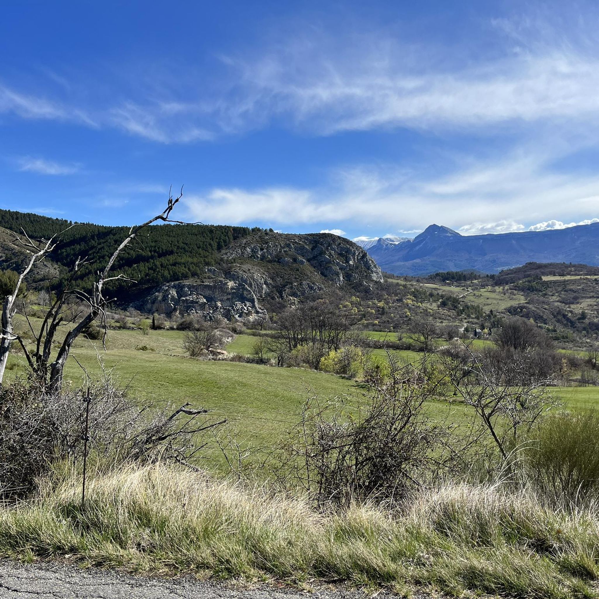
Mountain passes around Champtercier offer access to the Alpes-de-Haute-Provence region, situated at an altitude of 700 meters. This commune provides opportunities for exploration within its immediate mountainous surroundings. The area is characterized by its natural landscapes and varied topography. Several passes in the broader region feature distinct geological formations and provide views of local valleys.
Best mountain passes around Champtercier
- The most popular mountain passes is Col d'Espinouse (838 m), a mountain_pass that is considered a rather low pass…
Last updated: July 10, 2026
Col d'Espinouse (838 m)
Highlight • Mountain Pass
Tip by

Col du Pas de Bonnet (886 m)
Highlight • Mountain Pass
The first part, up to the village …
Translated by Google •
Tip by

Sign up now to discover places like this
Get recommendations on the best single tracks, peaks, & plenty of other exciting outdoor places.
Sign up for free
L'Orme Pass
Highlight • Mountain Pass
Translated by Google •
Tip by
Col d'Hysope
Highlight • Mountain Pass
Geology enthusiasts will be able to distinguish the overlap of the Digne-les-Bains aquifer on that of Valensole.
Translated by Google •
Tip by

Col du Jas
Highlight • Mountain Pass
Translated by Google •
Tip by

Sign up for free to discover even more mountain passes around Champtercier.
Sign up for free
Already have an account?
Start today with a free account
Your next adventure awaits.
Login or Signup

Tips from the Community

climb suitable for everyone, with very gentle and regular slopes
0
0


The Col du Jas culminates at 840 meters above a small forest. Accessible by a track or a path, it has the particularity of being close to the geological site of the ichthyosaur.
0
0

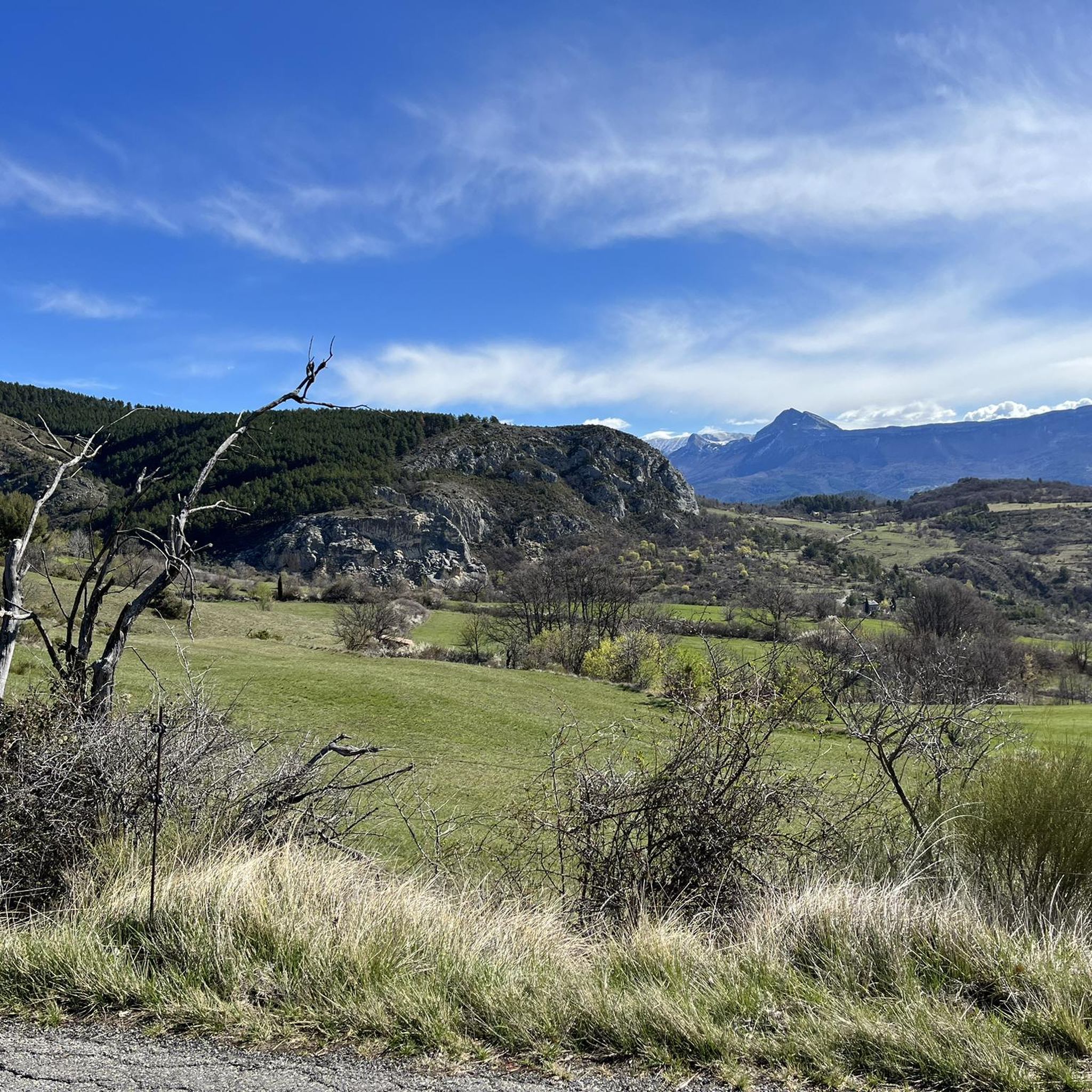
The Col d'Espinouse peaks at 838m and has two very different sides. From Bras d'Asse, more than 10 km of climbing awaits you and be careful not to be fooled by its low average percentage because this pass has many passages at more than 7%, especially towards the end with the last 700 meters at 8% and above all this slope is very exposed to the wind which often blows very strongly. On the other side from the Chaffaut road the climb is around 3-4 km shorter, is not exposed to the wind but has a steep and regular gradient (6-7% on average and passages at 11%).
2
0

A great viewing platform is installed here.
0
0

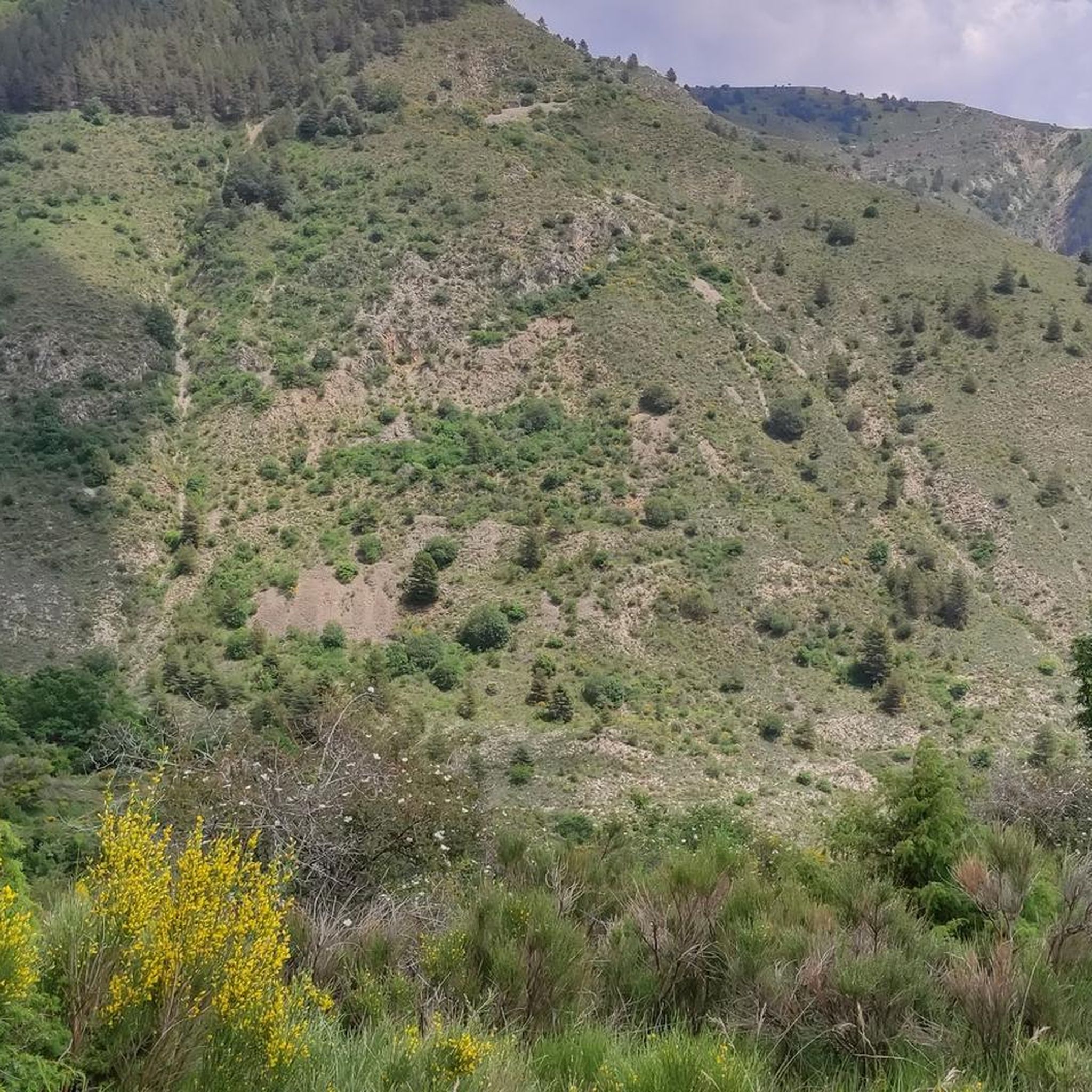
Hyssope Pass is 1,236 meters above sea level. It has a view over the Duyes valley. Geology enthusiasts will be able to distinguish the overlap of the Digne-les-Bains aquifer on that of Valensole.
2
0
The Col de l'Orme peaks at 734m. This pass is really simple, especially from the baths despite its 9km climb. To put it simply, this pass has an average of not even 3%. The big downside is that it's a road pass located on the RN 85 and it's very busy so don't linger too long at the top, there's not much to see...
2
1
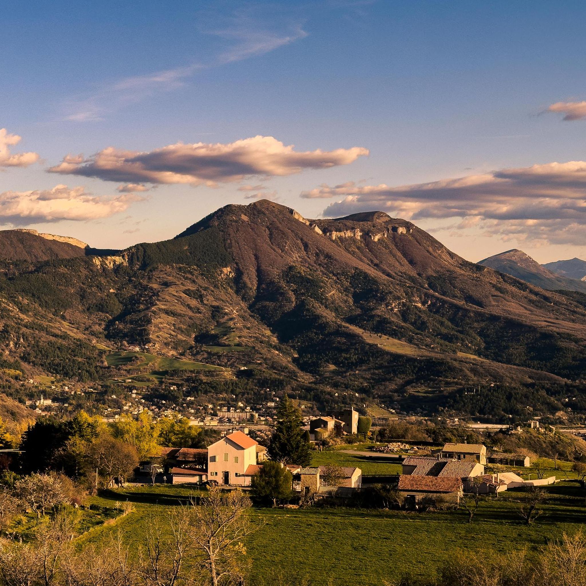
The Pas de Bonnet culminates at an altitude of 886 meters. From Digne-les-Bains, the longest slope awaits you with 7 kilometers of climbing. The first part, up to the village of Champtercier, is the most complicated even if the slope does not exceed an average of 5.5%. You will still be entitled to a small section of 100 meters just before Champtercier at almost 10%, which is an injection. The second part is simpler and more regular, the slope barely exceeding 6%.
4
0
Frequently Asked Questions
What unique natural features can I observe at mountain passes around Champtercier?
The mountain passes in the Champtercier region offer diverse natural and geological points of interest. For instance, Col d'Hysope provides a scenic view over the Duyes Valley and is notable for geology enthusiasts, allowing observation of the overlapping Digne-les-Bains and Valensole aquifers. Additionally, Col du Jas is situated near a geological site featuring the ichthyosaur, offering a glimpse into the region's ancient past.
Are there family-friendly mountain passes near Champtercier?
While specific passes are not explicitly labeled 'family-friendly' in the data, the Col de L'Orme is described as a relatively easy climb, especially from the Digne-les-Bains side, with an average gradient of less than 3% over 9 km. This gentler ascent could make it suitable for families looking for a less strenuous mountain experience, though it's on a busy road (RN 85) with limited attractions at the summit.
What outdoor activities can I do near the mountain passes around Champtercier?
The area around Champtercier's mountain passes is excellent for various outdoor activities. You can find numerous options for running, gravel biking, and hiking. For detailed routes and guides, explore the dedicated pages for Running Trails around Champtercier, Gravel biking around Champtercier, and Hiking around Champtercier.
What are the best times of year to visit the mountain passes in the Champtercier region?
The Alpes-de-Haute-Provence region, where Champtercier is located, generally offers pleasant conditions for exploring mountain passes from spring through autumn. During these seasons, the weather is typically mild, making it ideal for cycling, hiking, and enjoying the scenic views. Winter can bring snow and colder temperatures, which might limit access or require specialized equipment for some higher passes.
What are some challenging mountain passes for cyclists near Champtercier?
For cyclists seeking a challenge, Col d'Espinouse (838 m) offers a notable excursion. Climbing from Bras d'Asse involves more than 10 km with passages exceeding 7% gradient, and the last 700 meters can be 8% or more, often exposed to strong winds. The other side, from the Chaffaut road, has a steep and regular gradient of 6-7% on average with passages up to 11%.
Are there any mountain passes with significant climbs from Digne-les-Bains?
Yes, Col du Pas de Bonnet (886 m) offers a significant climb from Digne-les-Bains. This route is 7 kilometers long, with an average slope of 4.5% and sections reaching 5.5%, including a short, steep 100-meter section at almost 10% just before the village of Champtercier.
What do visitors enjoy most about the mountain passes around Champtercier?
Visitors appreciate the varied climbing experiences, panoramic viewpoints, and geological interest offered by the mountain passes around Champtercier. The region provides a range of passes, from those with gentle gradients suitable for casual exploration to more challenging ascents for experienced cyclists and hikers. The natural beauty and opportunities for outdoor activities are frequently highlighted.
Are there hiking trails directly accessible from the mountain passes?
While specific trails directly from each pass are not detailed, the passes often serve as access points or are integrated into broader trail networks. For example, the area around Champtercier offers numerous hiking opportunities, with routes like the 'Andran Summit – Courbons loop' and 'The Darau – Church of Our Lady of the Angels loop' being popular. You can find more details on the Hiking around Champtercier guide page.
What are the typical weather conditions for mountain passes in the Champtercier area?
Weather conditions in the Champtercier area, being at an altitude of 700 meters within the Alpes-de-Haute-Provence, can vary. Summers are generally warm and sunny, ideal for outdoor activities. Spring and autumn offer cooler temperatures and beautiful scenery. Winters can be cold, with potential for snow at higher elevations, which might affect accessibility and require appropriate gear. Always check local forecasts before heading out.
Is public transport available to reach the mountain passes near Champtercier?
Public transport options directly to the summits of mountain passes around Champtercier are generally limited. Access is primarily by car, bicycle, or on foot. For reaching the general vicinity or starting points of climbs, you might find regional bus services connecting to towns like Digne-les-Bains, from where you can then cycle or hike towards the passes. It's advisable to research local bus schedules for specific routes.
Are there any amenities or cafes near the mountain passes around Champtercier?
The mountain passes themselves typically have limited amenities at their summits. For example, Col de L'Orme is noted to have 'not much to see' at the top. However, the nearby commune of Champtercier and larger towns like Digne-les-Bains offer various amenities, including cafes, restaurants, and accommodation options, which can serve as convenient bases for exploring the passes.
Can I bring my dog on trails near the mountain passes?
Many outdoor trails in the Champtercier region are dog-friendly, especially if your dog is well-behaved and kept on a leash. However, specific regulations can vary depending on the exact location, especially within protected natural areas. It's always recommended to check local signage or specific trail guidelines for any restrictions regarding dogs before you go.
Most popular routes around Champtercier
Most popular attractions around Champtercier

Get inspired with the komoot mobile app


Explore more
See even more epic mountain passes by checking out these guides around Champtercier:
