The best running trails on Vancouver Island
4.7
(35)
2,481
runners
212
runs
Jogging on Vancouver Island offers diverse terrain, from rugged coastlines to dense rainforests and serene lake paths. The region is characterized by a mix of flat, paved sections and challenging trails with varied elevation, catering to different running preferences. Extensive trail networks provide opportunities to explore ancient forests, ocean views, and numerous lakes. This landscape composition makes Vancouver Island a suitable destination for a wide range of running experiences.
Best jogging routes on Vancouver Island
- The most popular jogging route is Westwood Lake loop from Seafair, a 6.0 miles (9.7 km) trail that takes 1 hour 2 minutes to complete. This route offers a scenic loop around Westwood Lake.
- Another top favourite among local runners is Mushroom Island – MacKenzie Beach loop from Tofino, a moderate 8.1 miles (13.1 km) path. This route provides coastal running along beaches with ocean views.
- Local runners also love the Crow's nest – Little Beach loop from Ucluelet, a 6.3 miles (10.2 km) trail leading through coastal landscapes, often completed in about 1 hour 4 minutes.
- Jogging on Vancouver Island is defined by coastal paths, dense rainforests, and lake loops. The network offers options for different ability levels, from easy jogs to challenging trail runs.
- The routes in Vancouver Island are highly rated by the komoot community with an average score of 4.7 stars from over 25 reviews. More than 2600 runners have used komoot to explore Vancouver Island's varied terrain.
Last updated: July 14, 2026
5.0
(1)
141
runners
10.1km
01:05
60m
60m
Hard run. Good fitness required. Sure-footedness, sturdy shoes and alpine experience required.
5.0
(1)
58
runners
10.2km
01:04
80m
80m
Moderate run. Good fitness required. Mostly paved surfaces. Suitable for all skill levels.

Sign up for free
25
runners
11.0km
01:10
60m
60m
Moderate run. Good fitness required. Mostly paved surfaces. Suitable for all skill levels.
5.0
(1)
49
runners
13.4km
01:23
70m
70m
Moderate run. Good fitness required. Mostly paved surfaces. Suitable for all skill levels.
5.0
(1)
53
runners
8.01km
00:50
50m
50m
Moderate run. Good fitness required. Mostly paved surfaces. Suitable for all skill levels.
Get access to more routes and recommendations from other explorers.
Sign up for free
Already have an account?
Our route recommendations are based on thousands of hikes, rides, and runs completed by other people on komoot.
Start today with a free account
Your next adventure awaits.
Login or Signup
Popular around Vancouver Island

Long-distance hiking in Canada – between mountains and coast
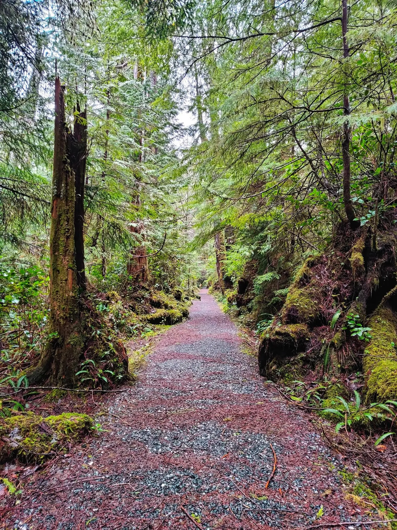
North Coast Trail — Vancouver Island's Wildest Adventure
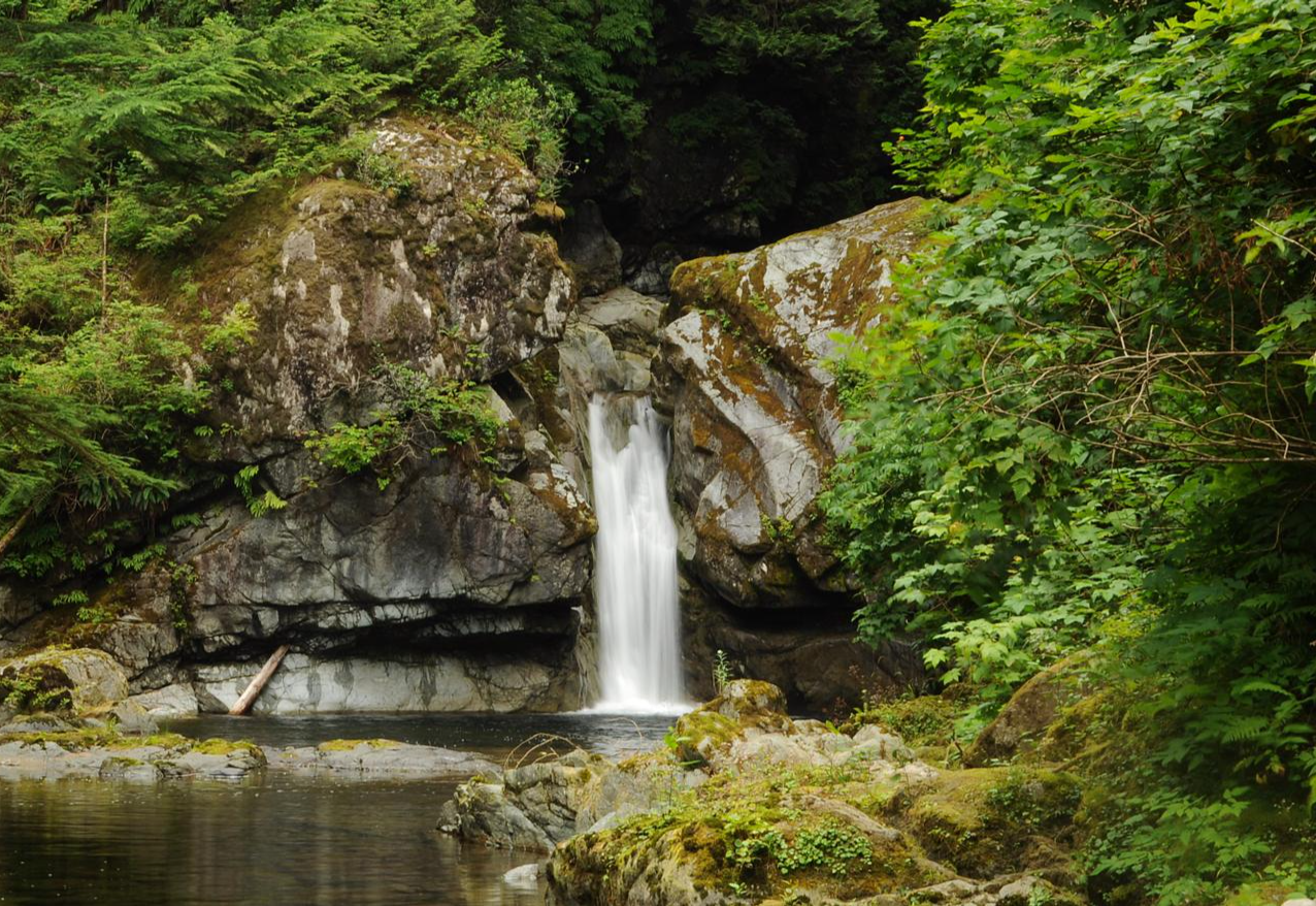
West Coast Trail — Seven days on the Graveyard of the Pacific

Pacific charm and peak happiness in British Columbia
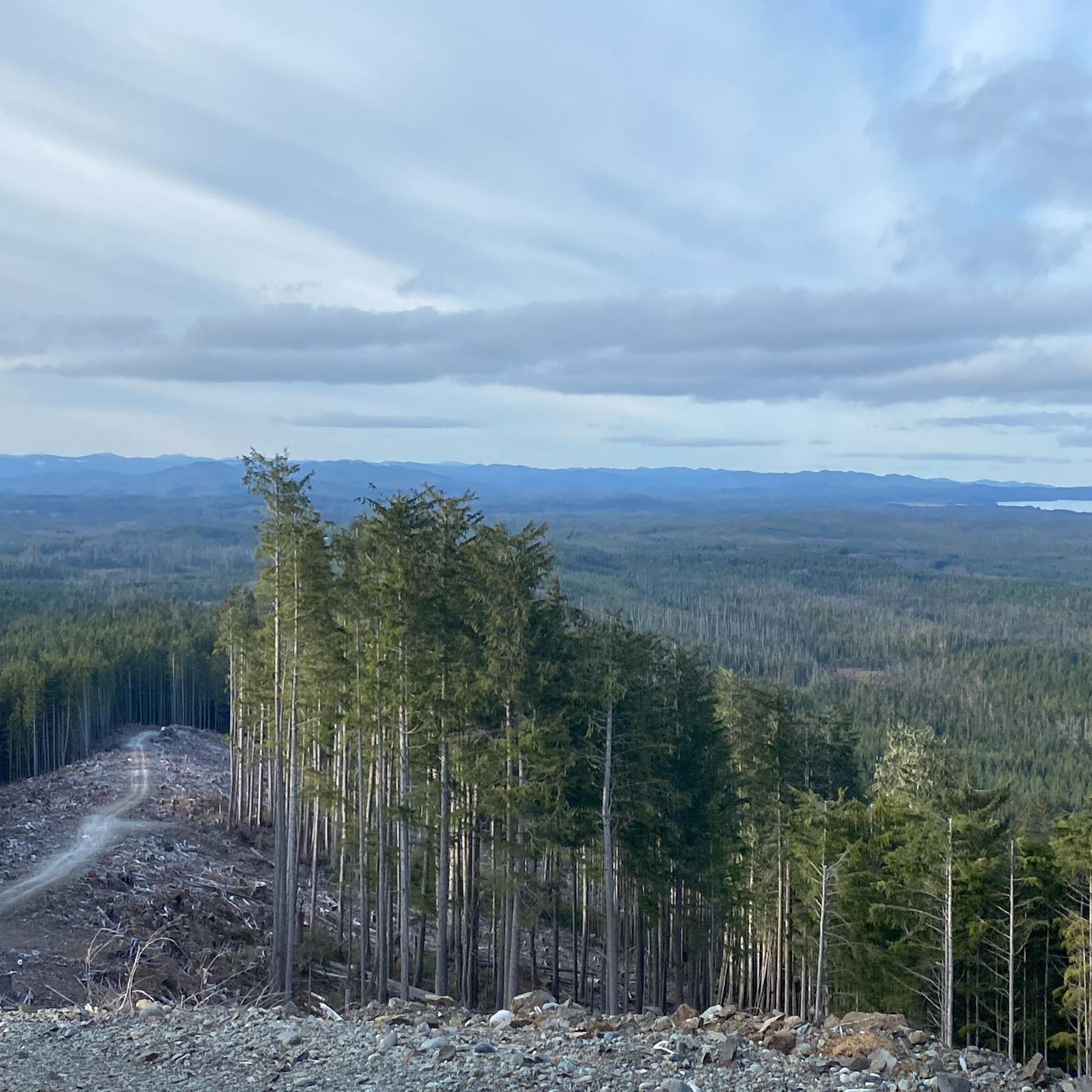
Hiking on Vancouver Island
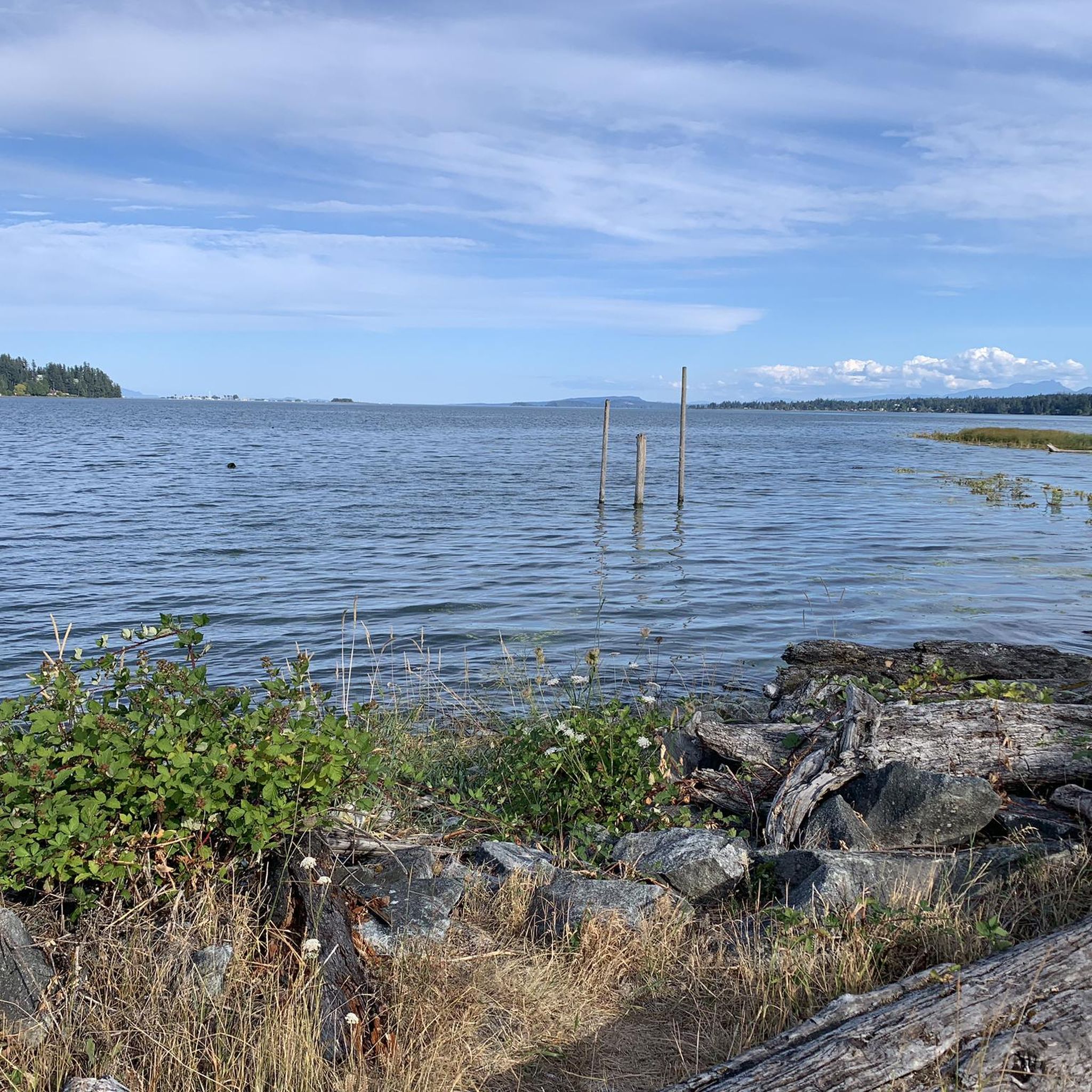
Cycling on Vancouver Island
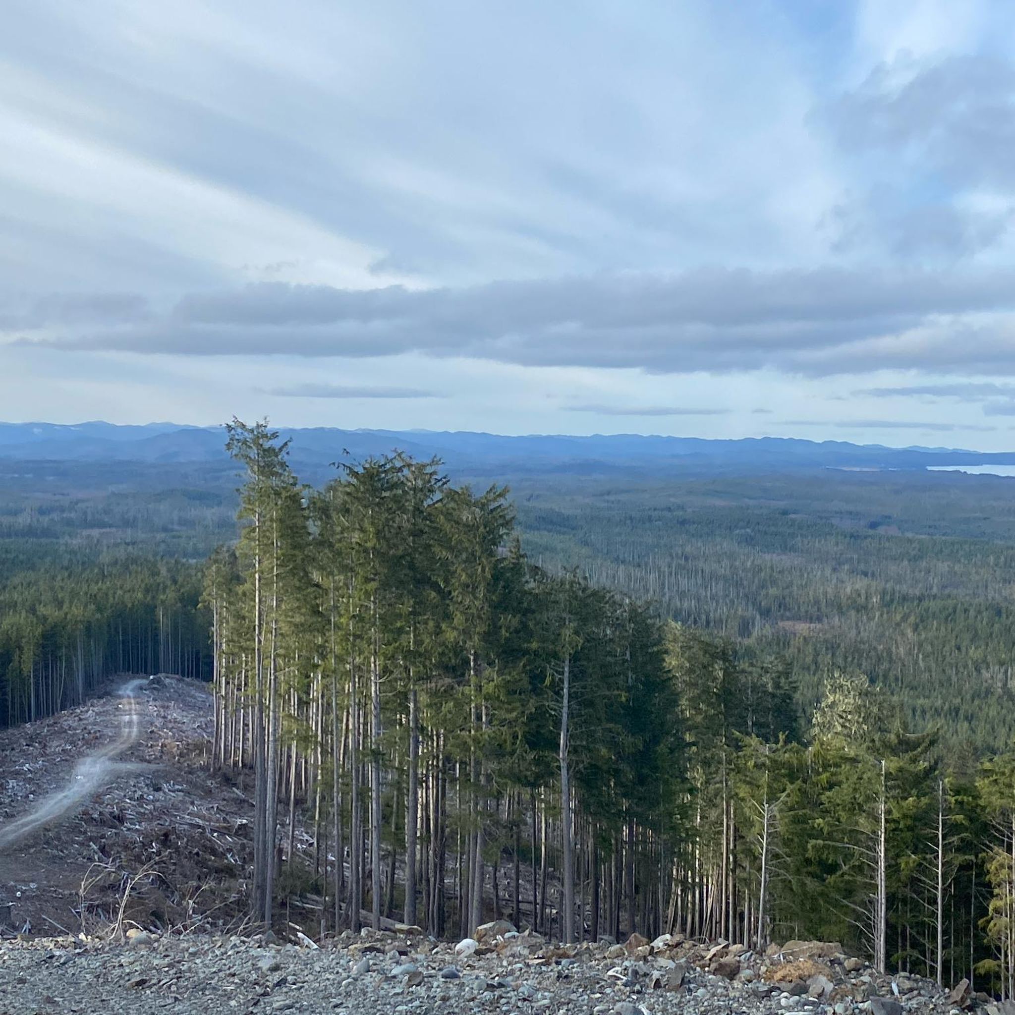
MTB Trails on Vancouver Island
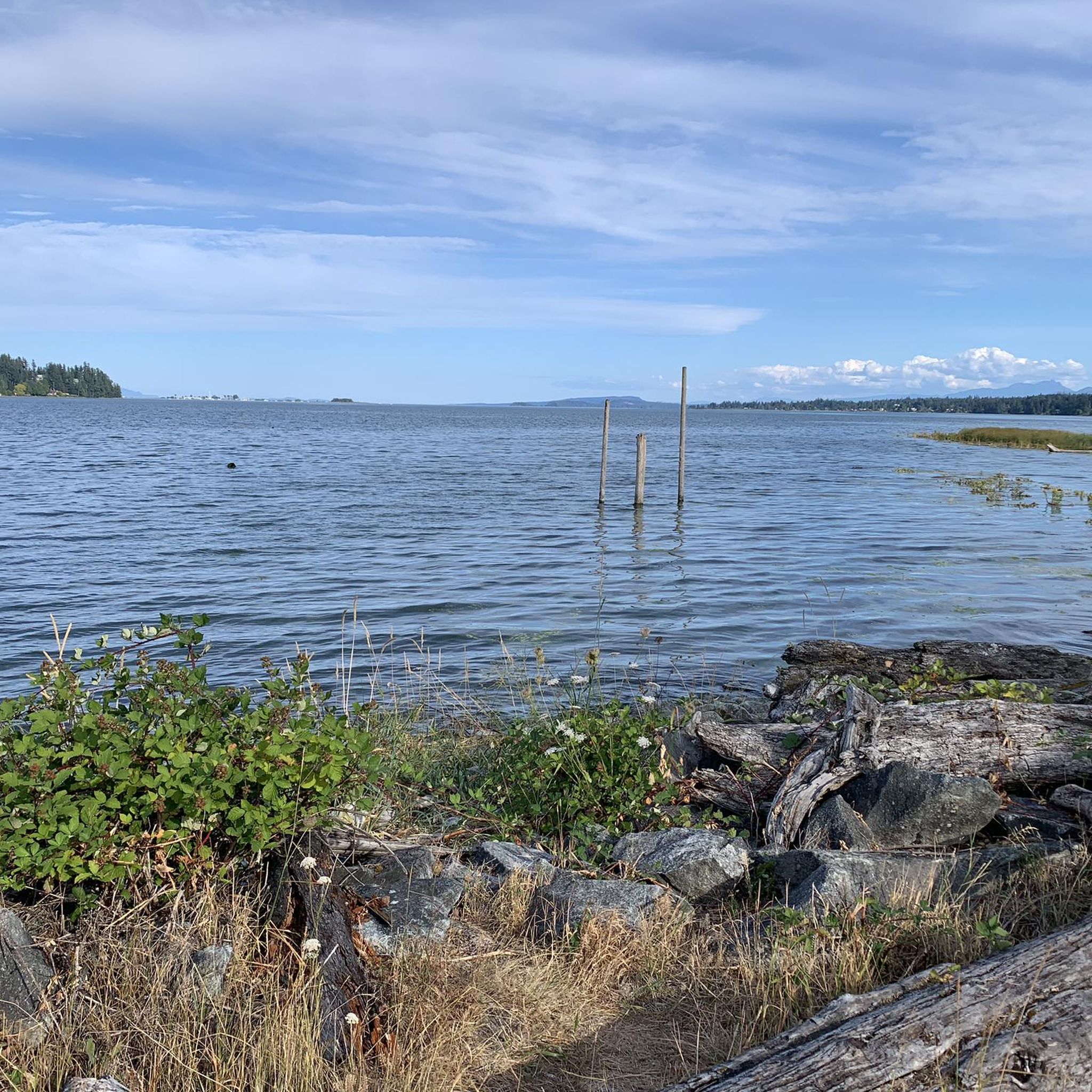
Road Cycling Routes on Vancouver Island
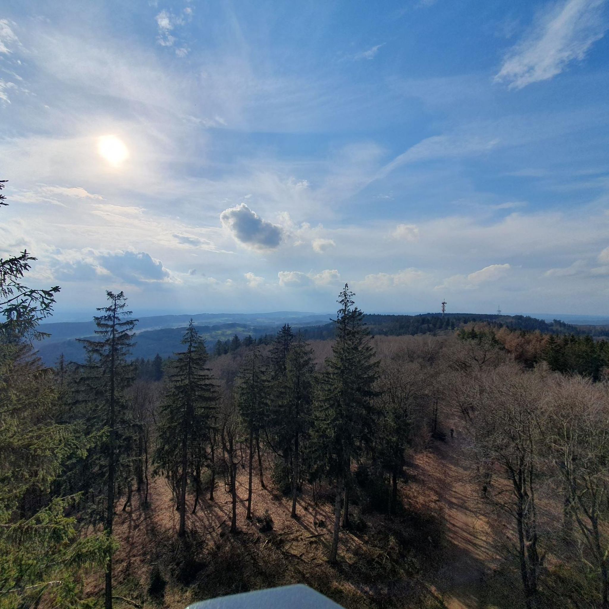
Gravel biking on Vancouver Island
Other adventures on Vancouver Island


Tips from the Community

Patricia Bay Park is a quiet waterfront spot in North Saanich with open views of the Saanich Inlet and easy access to the paved Scoter Trail. There are picnic tables, restrooms, and a small beach area, making it a lovely place to stop for lunch or take a break. It’s low-key and family-friendly, perfect for birdwatching, a short walk, or just sitting by the water.
2
0

Such a shame. Not every change is positive. Thanks for your update.
0
0

The Tonquin Trail Connector, opened in March 2014, has been partially widened to a gravel road. Residential construction plans are expected in the upper section; the trail is not recommended. (May 17, 2025)
0
0

Trail connector closed - updated October 12th 2023
1
1
Frequently Asked Questions
How many running routes are available on Vancouver Island?
Vancouver Island offers a vast network of running trails, with over 220 routes available for jogging. These routes cater to various skill levels, including easy, moderate, and challenging options.
What kind of terrain can I expect on Vancouver Island's running trails?
Runners on Vancouver Island can experience incredibly diverse terrain. You'll find everything from flat, paved paths ideal for a gentle jog to challenging trails with steep sections, rocks, and roots through dense rainforests, along rugged coastlines, and around serene lakes. The island's landscape includes majestic mountains, lush forests, and extensive beaches, providing varied surfaces and inclines.
Are there any family-friendly jogging routes on Vancouver Island?
Yes, Vancouver Island has several routes suitable for families. While specific family-friendly routes aren't detailed here, many of the easier, flatter trails, especially those around lakes or in regional parks like Elk/Beaver Lake Regional Park, are great for a family outing. Look for routes with minimal elevation gain and well-maintained paths.
Can I bring my dog on the running trails?
Many trails on Vancouver Island are dog-friendly, but it's always best to check local regulations for specific parks and trails. Generally, dogs are welcome on leash in most regional parks and on many multi-use trails. Always ensure your dog is under control and clean up after them.
Are there any running routes that feature waterfalls or lakes?
Absolutely! Vancouver Island is dotted with picturesque lakes and stunning waterfalls. For routes near lakes, you might enjoy the popular Westwood Lake loop from Seafair. If you're looking for waterfalls, consider exploring areas near Stamp Falls and Canyon or Nymph Falls, which are surrounded by lush trails. The island's rainforests often hide beautiful cascades.
What do other runners say about the jogging routes on Vancouver Island?
The running routes on Vancouver Island are highly regarded by the komoot community, boasting an impressive average rating of 4.7 stars from over 25 reviews. Runners frequently praise the diverse scenery, from coastal paths to dense rainforests, and the variety of options available for all ability levels.
Are there any circular running routes on Vancouver Island?
Yes, many of the best running experiences on Vancouver Island are circular routes, allowing you to start and end at the same point. A great example is the Swy-a-lana Lagoon – Commercial Inlet loop from Cameron Heights, which offers a scenic loop. The Westwood Lake loop from Seafair is another popular circular option.
What are some scenic coastal running routes on Vancouver Island?
Vancouver Island's coastline offers breathtaking ocean views for runners. The Mushroom Island – MacKenzie Beach loop from Tofino provides an excellent coastal running experience. Another fantastic option is the Crow's nest – Little Beach loop from Ucluelet, which also leads through stunning coastal landscapes.
Are there options for challenging trail running on Vancouver Island?
For those seeking a more strenuous run, Vancouver Island delivers. The island's mountainous regions and rugged wilderness areas, such as parts of Strathcona Provincial Park or trails like Mount Finlayson in Goldstream Park, offer excellent opportunities for hill training and challenging ascents. The MacKenzie Beach – Chesterman Beach loop from Tofino is rated as difficult, providing a good test for experienced trail runners.
How accessible are the running routes by public transport or car parking?
Accessibility varies across the island. Major urban centers like Victoria and Nanaimo often have public transport options to popular parks and trailheads, such as Thetis Lake Park. For many other routes, especially in more remote areas, car access is necessary. Many trailheads, particularly in provincial parks, offer designated parking facilities, though it's always advisable to check specific route details for parking availability.
What is the best time of year for jogging on Vancouver Island?
Vancouver Island offers year-round running opportunities, but the best time often depends on your preference. Spring and fall provide mild temperatures and vibrant scenery, ideal for comfortable runs. Summer is excellent for coastal trails and higher elevations, though some areas can be warm. Winter can be beautiful for running in the rainforests, which offer natural shelter, but be prepared for rain and potentially muddy conditions on trails.
Are there any specific landmarks or points of interest I can see while running?
Yes, many running routes on Vancouver Island pass by or lead to interesting landmarks. Beyond the natural beauty of lakes and waterfalls, you might encounter unique geological formations like the Hole-in-the-Wall or explore ancient forests with towering trees in places like Cathedral Grove. Coastal runs often feature sea stacks and tide pools, especially in areas like Mystic Beach or Long Beach.
Most popular routes on Vancouver Island
Most popular attractions on Vancouver Island

Get inspired with the komoot mobile app


Explore more
Browse the best Running Trails & Routes in other regions.
