The best road cycling routes on Vancouver Island
4.7
(38)
1,450
riders
105
rides
Road cycling routes on Vancouver Island offer diverse terrain, from rugged coastlines and dense rainforests to varied elevations. The island features a mix of urban and rural scenery, with paths winding past beaches, farmlands, and through lush forests and quiet waterways. This region provides a range of experiences for road cyclists, from gentle coastal cruises to challenging climbs through forested areas and hills.
Best road cycling routes on Vancouver Island
- The most popular road cycling route is Inner Harbour, Victoria – Victoria Inner Harbour loop from Madrona at Wain, a 57.4 miles (92.4 km) trail that takes 4 hours 35 minutes to complete. This moderate route offers a scenic loop with varied terrain.
- Another top favourite among local road cyclists is Rosewall Creek Provincial Park – Qualicum Beach Heritage Forest loop from Courtenay, a difficult 77.2 miles (124.3 km) path. This challenging loop traverses diverse landscapes, including provincial parks and heritage forests.
- Local road cyclists also love the Walker Hook loop from Ganges, a 25.1 miles (40.4 km) trail leading through scenic island roads, often completed in about 2 hours 9 minutes.
- Road cycling on Vancouver Island is defined by rugged coastlines, dense rainforests, and varied terrain. The network offers options for different ability levels, from easy coastal cruises to more advanced climbs.
- The routes in Vancouver Island are highly rated by the komoot community with an average score of 4.8 stars from over 30 reviews. More than 1,400 road cyclists have used komoot to explore Vancouver Island's varied terrain.
Last updated: July 14, 2026
4.0
(1)
179
riders
80.4km
03:35
600m
600m
Moderate road ride. Good fitness required. Mostly well-paved surfaces and easy to ride.
4.5
(2)
66
riders
Moderate road ride. Good fitness required. Mostly well-paved surfaces and easy to ride.

Sign up for free
4.0
(2)
147
riders
73.0km
03:26
430m
430m
Moderate road ride. Good fitness required. Some segments of this route may be unpaved and difficult to ride.
53
riders
Hard road ride. Very good fitness required. Some segments of this route may be unpaved and difficult to ride.
5.0
(2)
45
riders
76.9km
03:33
560m
560m
Moderate road ride. Good fitness required. Some segments of this route may be unpaved and difficult to ride.
Get access to more routes and recommendations from other explorers.
Sign up for free
Already have an account?
Our route recommendations are based on thousands of hikes, rides, and runs completed by other people on komoot.
Start today with a free account
Your next adventure awaits.
Login or Signup
Popular around Vancouver Island
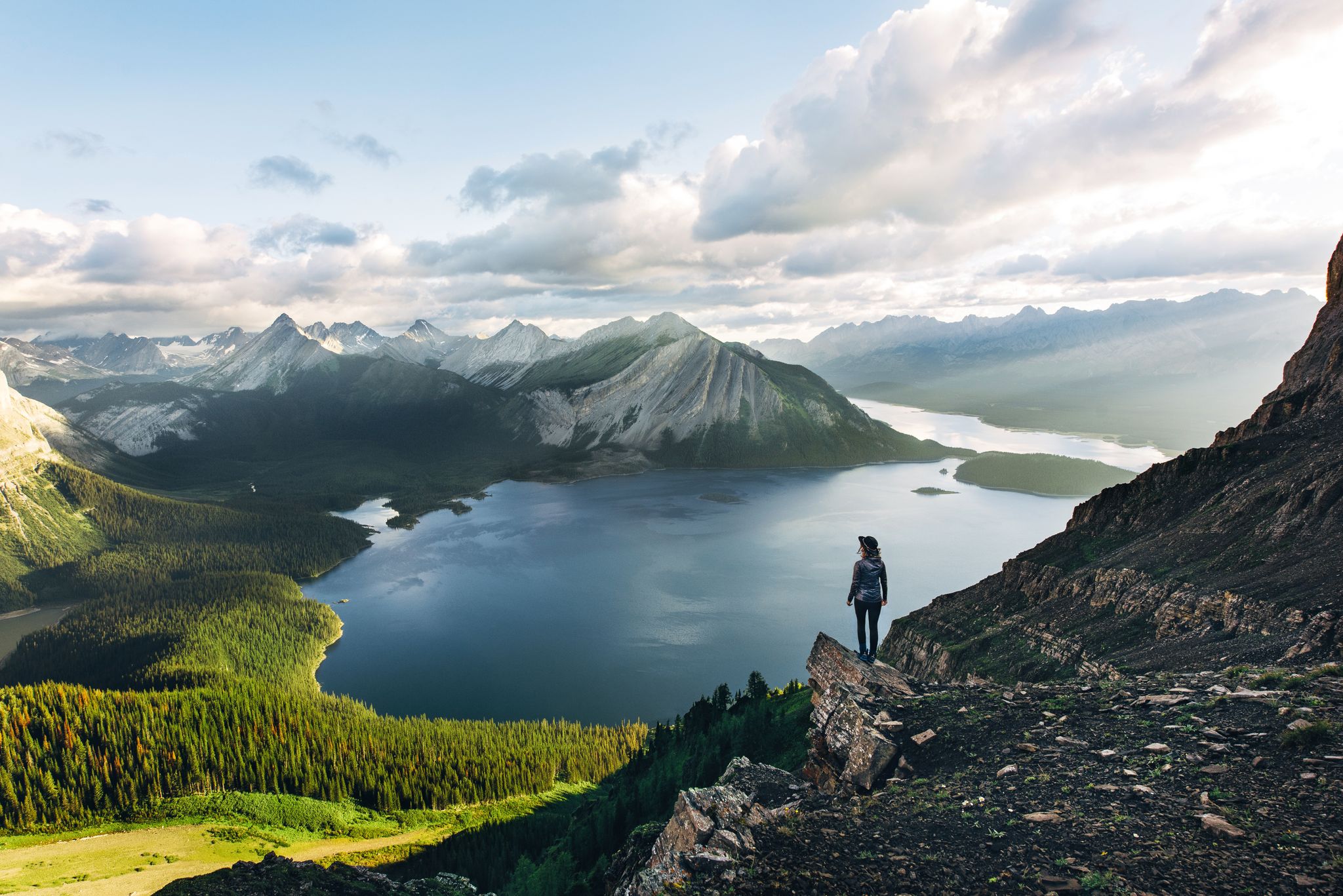
Long-distance hiking in Canada – between mountains and coast
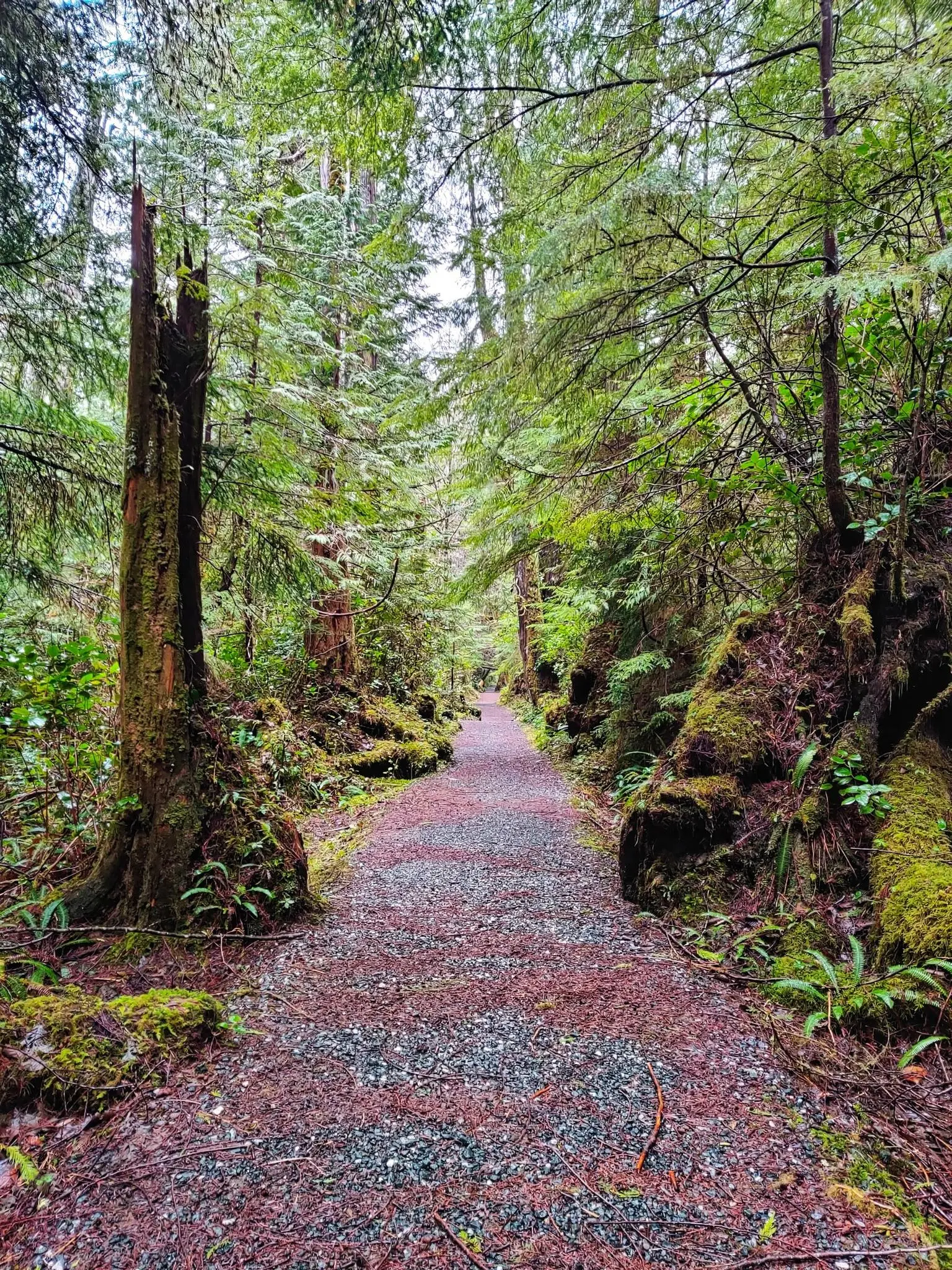
North Coast Trail — Vancouver Island's Wildest Adventure
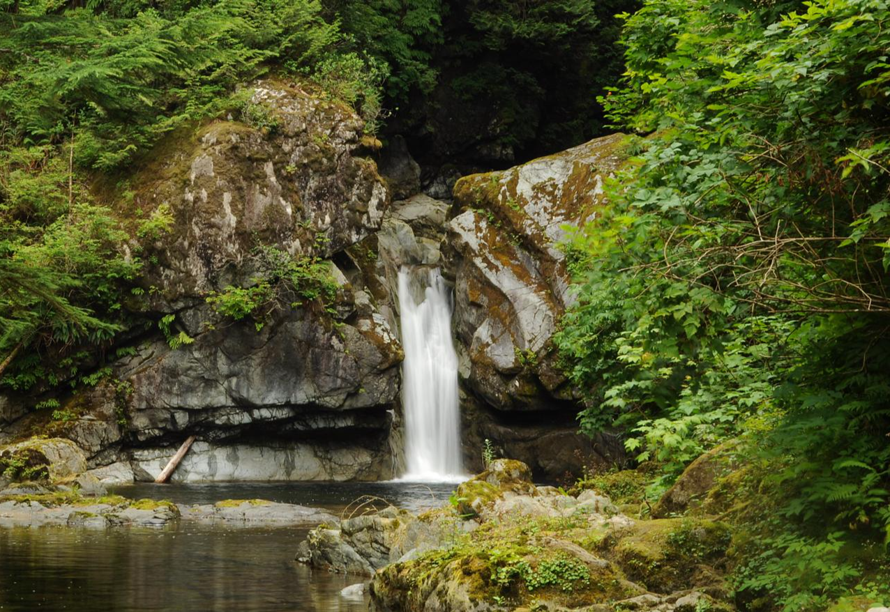
West Coast Trail — Seven days on the Graveyard of the Pacific

Pacific charm and peak happiness in British Columbia
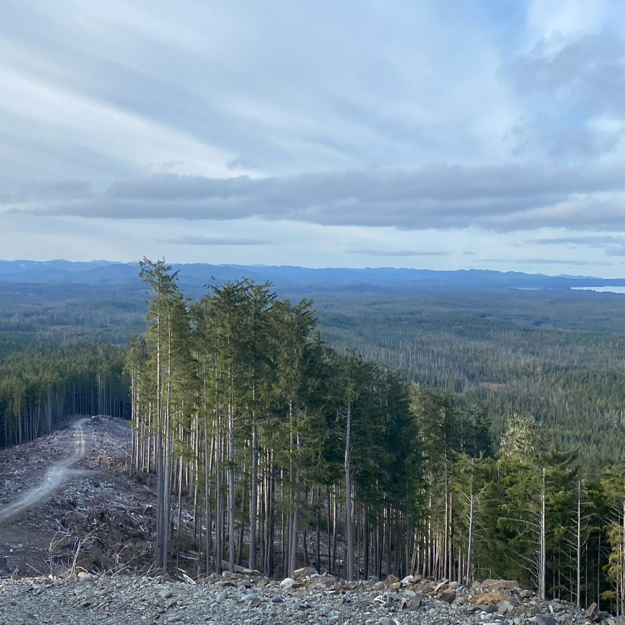
Hiking on Vancouver Island
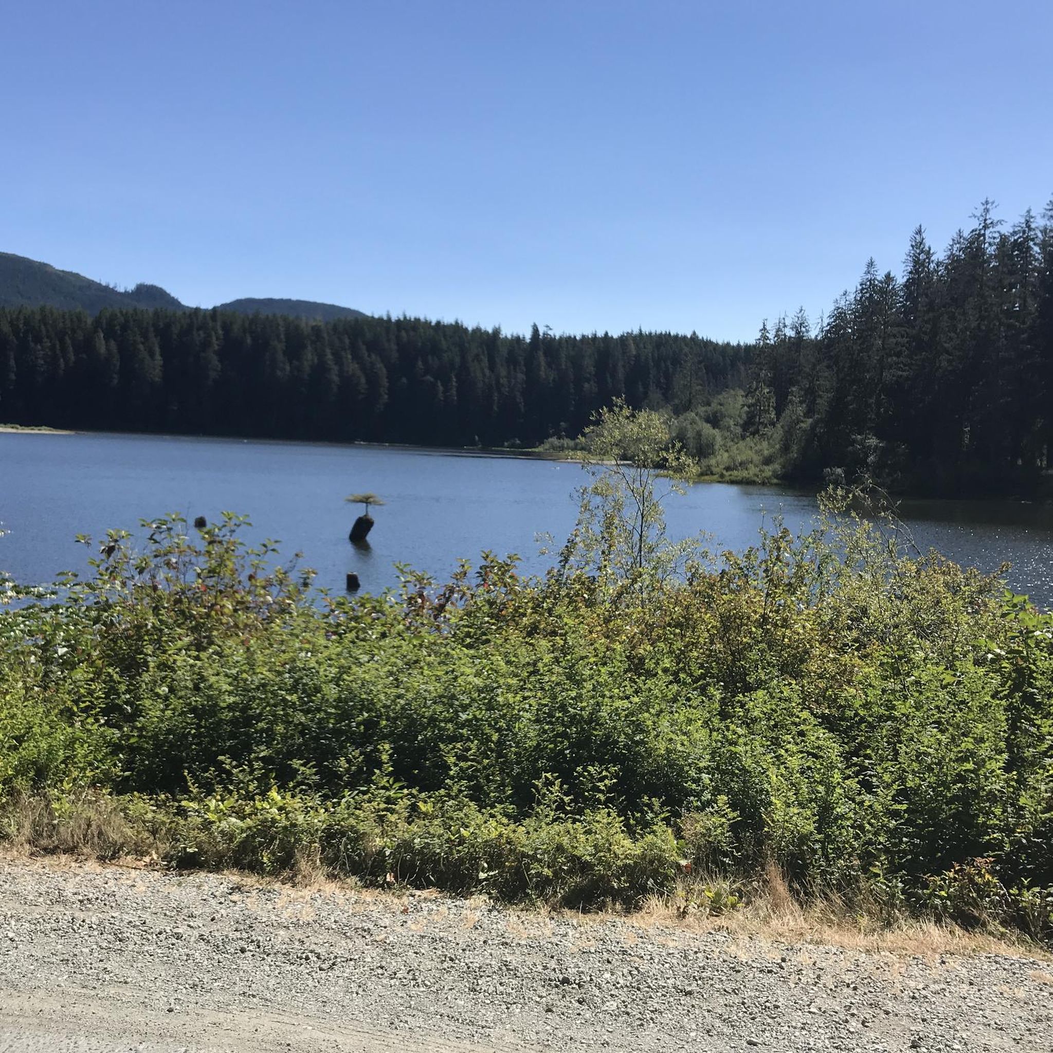
Cycling on Vancouver Island
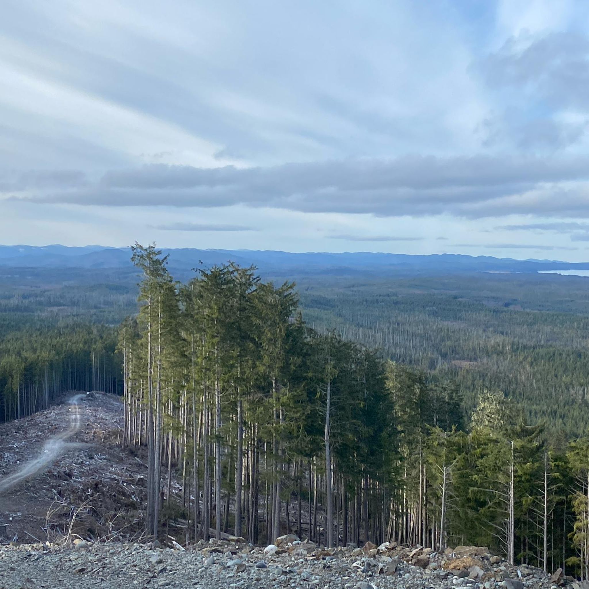
Running Trails on Vancouver Island
MTB Trails on Vancouver Island
Gravel biking on Vancouver Island
Other adventures on Vancouver Island


Tips from the Community

There are a bunch of seaplanes and other small aircraft that are usually parked along the fence opposite the Riverway Path. You can check them out as you pass by.
0
0

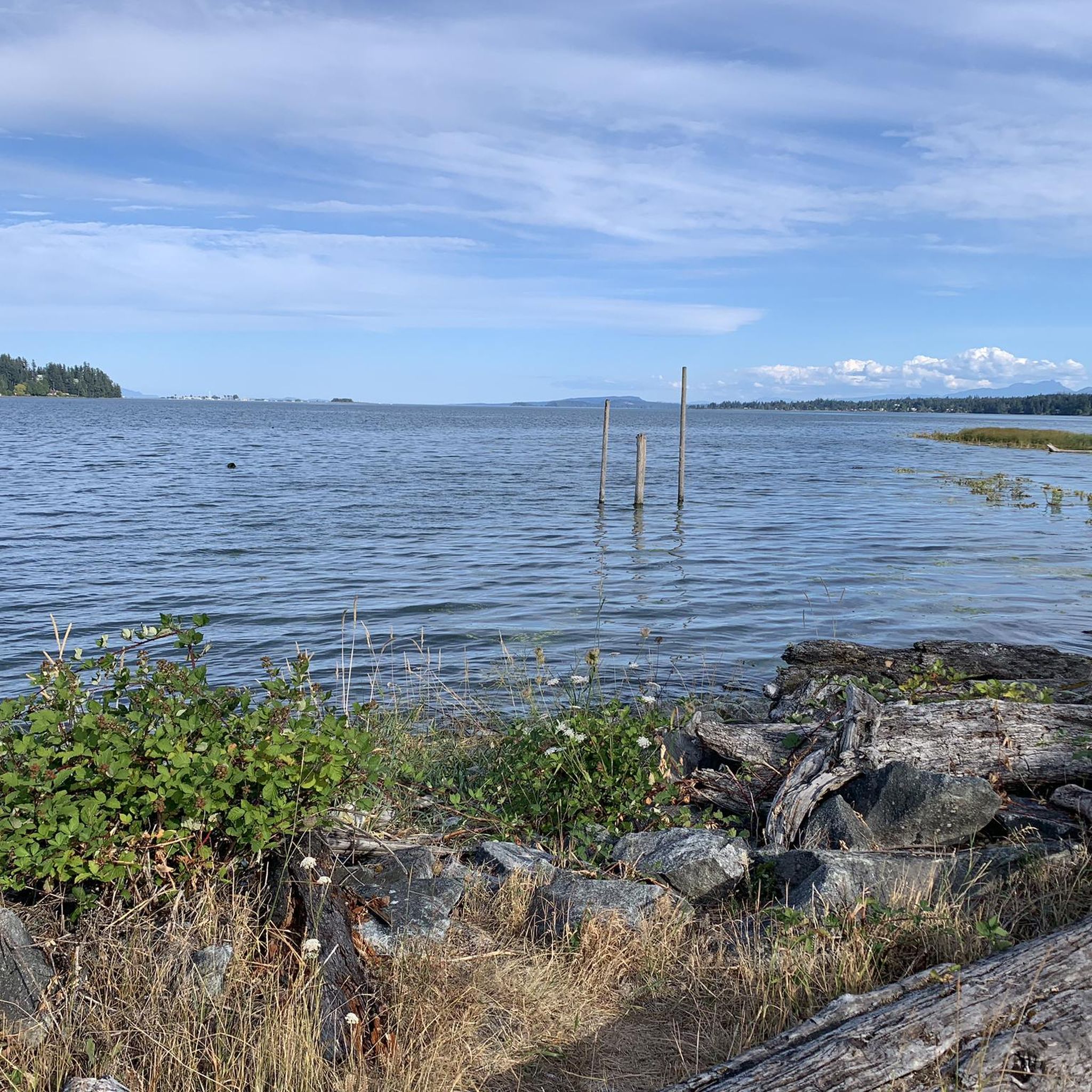
Comox Harbour is a sheltered inlet on the east coast of Vancouver Island, opening into the Strait of Georgia. The water is generally calm, shaped by tides that expose mudflats and sandbars along the shoreline. Backed by distant mountains and coastal communities, it forms a wide, open marine landscape that changes noticeably throughout the day.
0
0

Triangle Park is a small local park just west of the Johnson Street Bridge. It has a mix of public art, tupelo trees, benches, and simple lighting that gives it a relaxed, neighborhood feel. The park sits along the Vancouver Island Trail, so it’s a nice spot to pause if you’re walking or biking through the area.
0
0

Rosewall Creek Provincial Park is a small day-use park with a short trail that runs through the forest along Rosewall Creek. Big-leaf maple and conifer stands provide pleasant shade, making this a good stop for a quiet nature walk or creekside break on Vancouver Island. There is roadside parking and pit toilets near the trailhead and picnic areas overlooking the water,
0
0

Lions Community Park is a neighborhood park with a parking lot, a playground, picnic tables, benches, a water fountain, and the Lighthouse Community Center. There is also access to the Lighthouse Country Regional Trail.
0
0

You can also grab a coffee and take it down to one of the picnic tables along Marine Drive. A great place to look across towards Comox Marina and Goosespit.
0
0

Cool little airport that has some interesting aircraft to check out.
0
0

Victoria's Inner Harbour stretches from the narrows between Laurel Point and Songhees Point to Johnson Street Bridge. This is where the ferry terminal for connections to Port Angeles in Washington State is located, as well as the marina in front of the Fairmont Empress Hotel and docks for smaller ships and boats. Regular seaplane flights to Vancouver and Seattle depart from Victoria Inner Harbour Airport. https://en.wikipedia.org/wiki/Victoria_Harbour_(British_Columbia)#Inner_Harbour
2
0
Frequently Asked Questions
How many road cycling routes are available on Vancouver Island?
Vancouver Island offers a wide array of road cycling routes, with over 115 options available. These routes cater to various skill levels, from easy coastal rides to more challenging climbs through forested areas.
What is the best time of year for road cycling on Vancouver Island?
Vancouver Island's mild climate makes it suitable for road cycling year-round. While spring and summer offer the warmest weather and longest daylight hours, the mild winters still allow for enjoyable rides, especially along coastal paths.
What kind of terrain can I expect on Vancouver Island road cycling routes?
Road cycling on Vancouver Island features incredibly diverse terrain. You can expect rugged coastlines with ocean views, dense rainforests, and varied elevations that include both gentle rolls and challenging climbs. Multi-use trails also provide paved, flatter sections for easier rides.
Are there road cycling routes suitable for beginners or families on Vancouver Island?
Yes, Vancouver Island has numerous routes perfect for beginners and families. There are 24 easy routes, often found on multi-use trails like the Galloping Goose Trail and Lochside Regional Trail, which offer paved sections and scenic, less strenuous rides.
Are there challenging road cycling routes for experienced cyclists on Vancouver Island?
Experienced cyclists will find plenty of challenging options on Vancouver Island. Routes like the Rosewall Creek Provincial Park – Qualicum Beach Heritage Forest loop from Courtenay, a difficult 124.3 km path, traverse diverse landscapes with significant elevation changes, providing a rewarding experience for advanced riders.
What natural features or landmarks can I see while road cycling on Vancouver Island?
Many road cycling routes on Vancouver Island pass by stunning natural features and landmarks. You might encounter ancient forests with towering trees like those at Cathedral Trail, MacMillan Park, or the impressive Kinsol Trestle. The island also boasts beautiful beaches, coastal views, and even waterfalls like Stamp Falls and Canyon.
Are there any scenic coastal road cycling routes on Vancouver Island?
Absolutely. Vancouver Island is renowned for its scenic coastal rides. The Dallas Road Waterfront Route in Victoria offers panoramic views of the Juan de Fuca Strait and the Olympic Mountains. Further north, areas like Malcolm Island and Telegraph Cove provide mellow coastal routes with opportunities for wildlife viewing.
Can I find routes that pass by waterfalls on Vancouver Island?
Yes, several road cycling routes can bring you close to beautiful waterfalls. Notable examples include Stamp Falls and Canyon and Nymph Falls. The Pacific Marine Circle Route also features several waterfalls along its path.
Are there circular road cycling routes on Vancouver Island?
Many road cycling routes on Vancouver Island are designed as loops, offering a convenient way to explore without retracing your steps. An example is the Lochside Regional Trail – Inner Harbour, Victoria loop from John Dean Park, a 80.9 km route that provides a comprehensive tour of the area.
What do other cyclists say about road cycling on Vancouver Island?
The komoot community highly rates road cycling on Vancouver Island, with an average score of 4.8 stars from over 30 reviews. Cyclists often praise the diverse terrain, stunning coastal views, and the variety of routes available for all skill levels, from the tranquil multi-use trails to the challenging climbs.
Are there multi-use trails suitable for road cycling on Vancouver Island?
Yes, Vancouver Island features excellent multi-use trails that are perfect for road cycling. The Galloping Goose Trail, E&N Rail Trail, and the Lochside Regional Trail are popular options, offering paved sections and connections, particularly around the Greater Victoria area.
Can I find road cycling routes that include stops at local amenities like cafes or pubs?
Many road cycling routes on Vancouver Island pass through or near charming towns and villages, offering opportunities to stop at local cafes, pubs, and restaurants. The Cowichan Valley, for instance, features a 'Wine Route' with country roads that pass vineyards and cideries, perfect for a leisurely stop.
Most popular routes on Vancouver Island
Most popular attractions on Vancouver Island

Get inspired with the komoot mobile app


Explore more
Browse the best Road cycling routes in other regions.
