The best walks and hikes around Champagnat
4.5
(195)
1,022
hikers
111
hikes
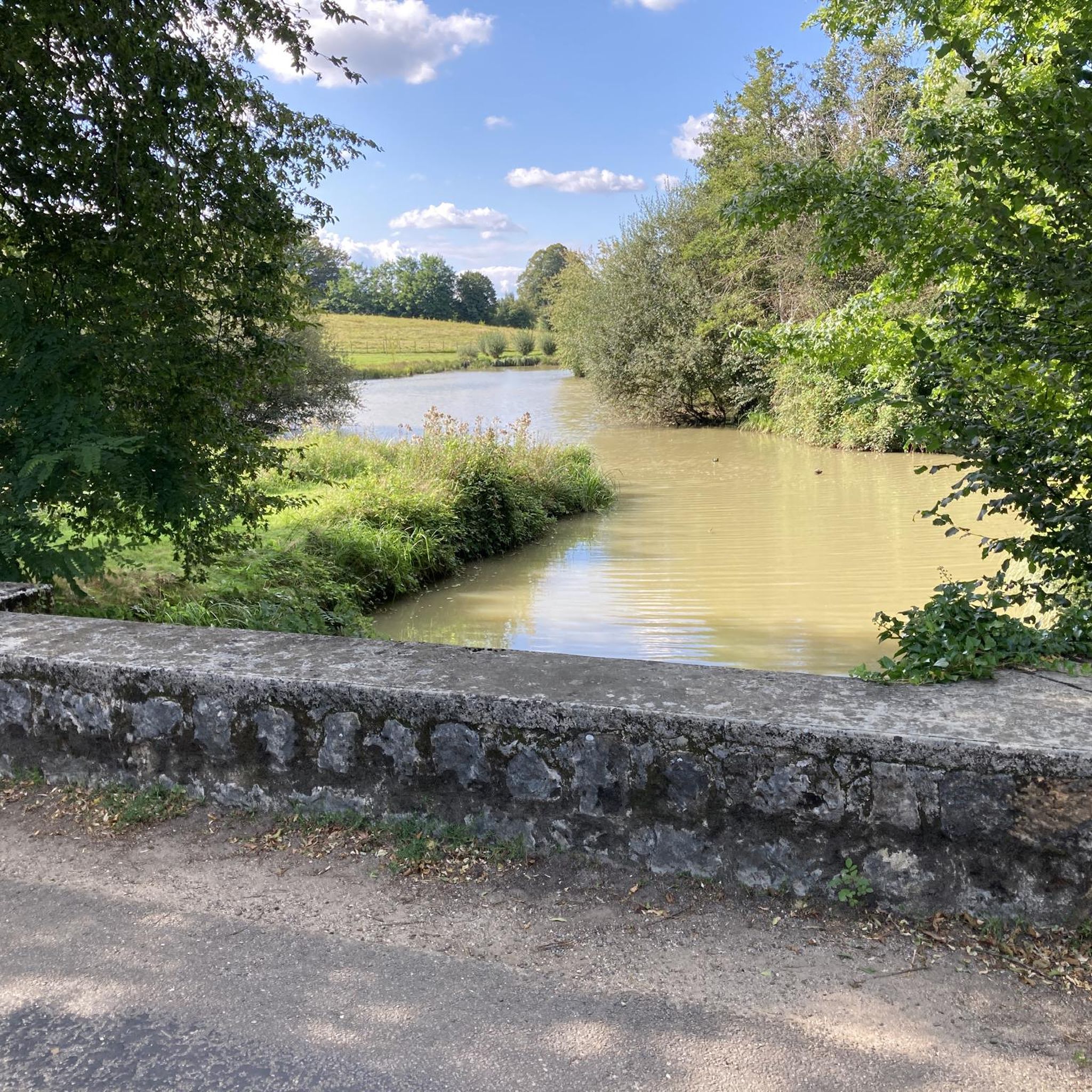
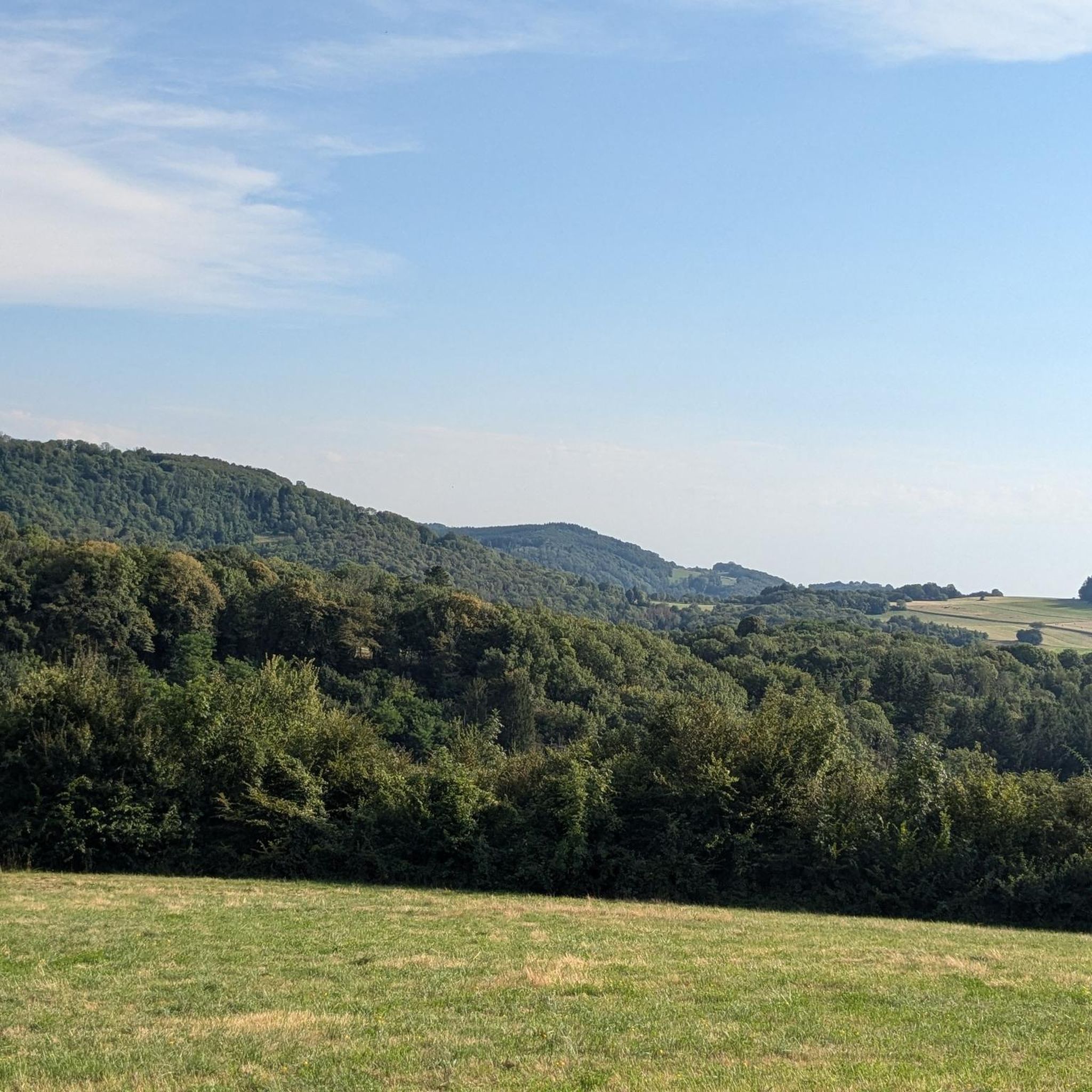
Hiking around Champagnat offers access to picturesque landscapes and well-maintained trails. The region features varied terrain, including wooded areas and open vistas. Hikers can experience elevations ranging from approximately 520 meters to 646 meters, with paths often traversing through villages and past natural features like granite crosses. The area provides a blend of accessible routes and options with varying elevations.
Best hiking trails around Champagnat
- The most popular hiking route is Plan d'eau de Louvarel loop from Cadole, a…
Last updated: July 9, 2026
4.8
(13)
114
hikers
4.22km
01:06
20m
20m
Easy hike. Great for any fitness level. Easily-accessible paths. Suitable for all skill levels.
4.5
(12)
105
hikers
2.43km
00:37
0m
0m
Easy hike. Great for any fitness level. Easily-accessible paths. Suitable for all skill levels.

Sign up for free
5
hikers
5.11km
01:19
20m
20m
Easy hike. Great for any fitness level. Easily-accessible paths. Suitable for all skill levels.
5.0
(2)
5
hikers
6.08km
01:46
160m
160m
Easy hike. Great for any fitness level. Easily-accessible paths. Suitable for all skill levels.
4.7
(3)
8
hikers
6.63km
01:58
190m
190m
Easy hike. Great for any fitness level. Easily-accessible paths. Suitable for all skill levels.
Get access to more routes and recommendations from other explorers.
Sign up for free
Already have an account?
Our route recommendations are based on thousands of hikes, rides, and runs completed by other people on komoot.
Start today with a free account
Your next adventure awaits.
Login or Signup
Tips from the Community

Beautiful little old town. There is an excellent gas-fired pizza place in town that we like to visit when we pass through. Everything is fresh and prepared on site. 🍕🍕🍕
2
0

Perched between Bresse and Revermont, this small village is home to the eponymous castle. Dating from the 12th century, the building dominates the Bresse plain from its rocky promontory located at an altitude of 470 meters. Largely in ruins, it can be visited free of charge all year round.
0
0

The pretty medieval village of Cuiseaux is an ideal place for a stroll along its narrow streets and its walkway. Its remains dating from the Middle Ages testify to its past: 12th century fortified gate known as the "orchard gate", Renaissance houses with mullioned windows, castle of the Princes of Orange, watchtower house, washhouse, Saint-Thomas church with remarkable wooden stalls and its black Madonna, winegrowers' houses...
0
0
The Roman roads of Revermont make it possible to make the connection between various cities and nearby ancient agglomerations (Bourg-en-Bresse, Coligny, Lons-le-Saunier). Difficult to date and little studied, this building was the subject of a vast restoration campaign in the 1980s carried out by volunteers, which today allows us to walk in the footsteps of our ancestors. You can discover the traces left by the passage of wheels in the cobblestones and enjoy the shaded path that leads to the Montagna belvedere.
0
0
The Montagna belvedere site benefits from secure development as well as a landscaped reading table. It offers a beautiful view of the village and Bresse.
0
0
Located on the first foothills of the Jura massif, the Château de Chevreaux is perched on a promontory at an altitude of 470 metres. It already existed in 1158, and since that date several families have succeeded. In 1637, the French army completely destroyed the site. The castle is in ruins but its reconstruction is in progress thanks to the Friends of Chevreaux Châtel association. Here, you can see different craftsmen at work: stone cutters, ironworkers, blacksmiths.
0
0

Nice historical site to discover along the Via Cluny, with a superb view of the Bresse.
0
0
Frequently Asked Questions
How many hiking trails are available around Champagnat?
There are over 100 hiking trails around Champagnat, offering a wide range of options for different preferences and skill levels. These include 29 easy routes, 65 moderate routes, and 6 more challenging trails.
What kind of landscapes can I expect to see while hiking in Champagnat?
Hiking in Champagnat offers diverse landscapes, from picturesque wooded areas like the Champagnat Woods to open vistas. You can enjoy panoramic views of the village itself, and on clear days, even glimpse the distant Massif du Sancy and the Puy de Dôme. Trails often pass through charming villages and by natural features such as granite crosses.
Are there any easy, family-friendly walks in Champagnat?
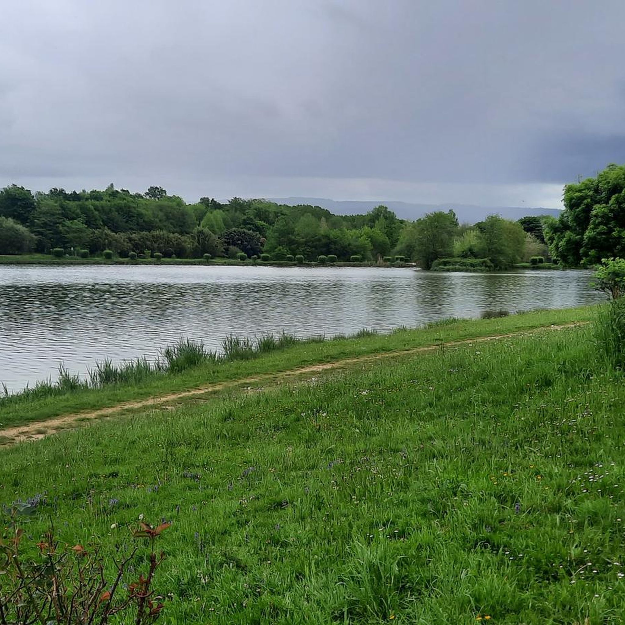
Yes, Champagnat offers several easy, family-friendly walks. For instance, the Louvarel Lake – Across the dam loop from Dommartin-lès-Cuiseaux is a short 2.6 km path with minimal elevation, perfect for a leisurely stroll. Another great option is the Plan d'eau de Louvarel loop from Cadole, an easy 4.9 km trail offering pleasant views of the lake.
Are there any circular hiking routes in Champagnat?
Many of the trails in Champagnat are circular, allowing you to start and end in the same location. A popular choice is the Louvarel Lake – Louvarel Pond loop from Dommartin-lès-Cuiseaux, which is 5.1 km long and explores the areas around Louvarel Pond. For a moderate option, consider the Cuiseaux – Chevreaux Castle loop from Cuiseaux, which is a longer 11.7 km route.
What are some notable landmarks or attractions to see near the hiking trails?
While hiking, you can explore several interesting landmarks. The historic town of Cuiseaux and the impressive Chevreaux Castle are accessible via some routes. You might also encounter the Ancient Roman Road of Montagna or enjoy expansive views from the Chanelet Viewpoint.
What is the best time of year to go hiking in Champagnat?
Champagnat offers enjoyable hiking experiences throughout much of the year. Spring and autumn typically provide pleasant temperatures and vibrant scenery, making them ideal. Summer is also popular, though some trails might be more exposed to the sun. Winter hiking is possible, but conditions can vary, so it's best to check local weather forecasts.
Are there any moderate difficulty trails for more experienced hikers?
Yes, Champagnat has a good selection of moderate trails. The Cuiseaux – Chevreaux Castle loop from Cuiseaux is a moderate 11.7 km route with significant elevation changes. Another excellent moderate option is the Bois des Perrières loop from Montagna-le-Reconduit, which covers 8.9 km through varied terrain.
What do other hikers say about the trails in Champagnat?
The hiking trails in Champagnat are highly regarded by the komoot community, holding an average rating of 4.4 stars from over 150 reviews. Hikers frequently praise the well-maintained paths, the diverse terrain, and the beautiful panoramic views, especially those extending to the distant Massif du Sancy and Puy de Dôme.
What are the typical elevation changes on trails in Champagnat?
Trails around Champagnat generally feature varied elevations. You can expect paths that range from approximately 520 meters at their lowest points to 646 meters at their highest. Many routes offer gentle inclines and declines, while some moderate trails include more significant ascents and descents.
Are there any trails that pass through villages?
Yes, several hiking routes in Champagnat are designed to pass through or near charming local villages. These trails often provide a glimpse into local life and architecture, adding a cultural dimension to your outdoor adventure. For example, some routes traverse through villages like Montely, offering a blend of natural scenery and village charm.
Is it possible to see distant mountains from the trails?
Absolutely. On clear days, many trails in Champagnat offer magnificent panoramic views. You can often see the distant Massif du Sancy and the Puy de Dôme, providing a stunning backdrop to your hike and adding a broader scenic element to the experience.
Most popular attractions around Champagnat

Get inspired with the komoot mobile app


Explore more
Browse the best Hikes in other regions.
