The best running trails in the Laguna Mountains
5.0
(2)
379
runners
68
runs
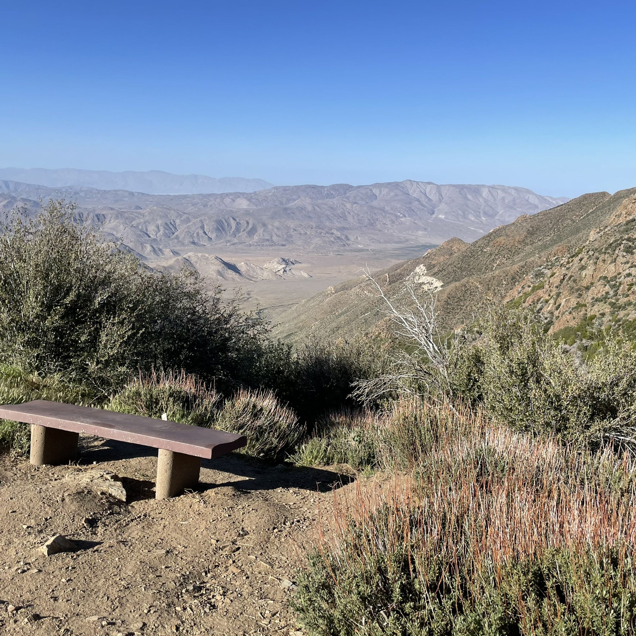
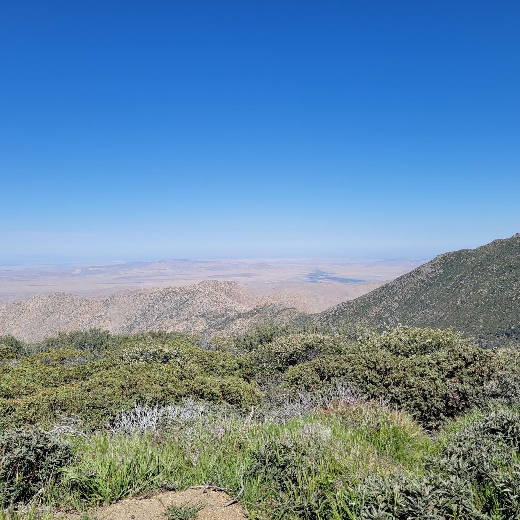
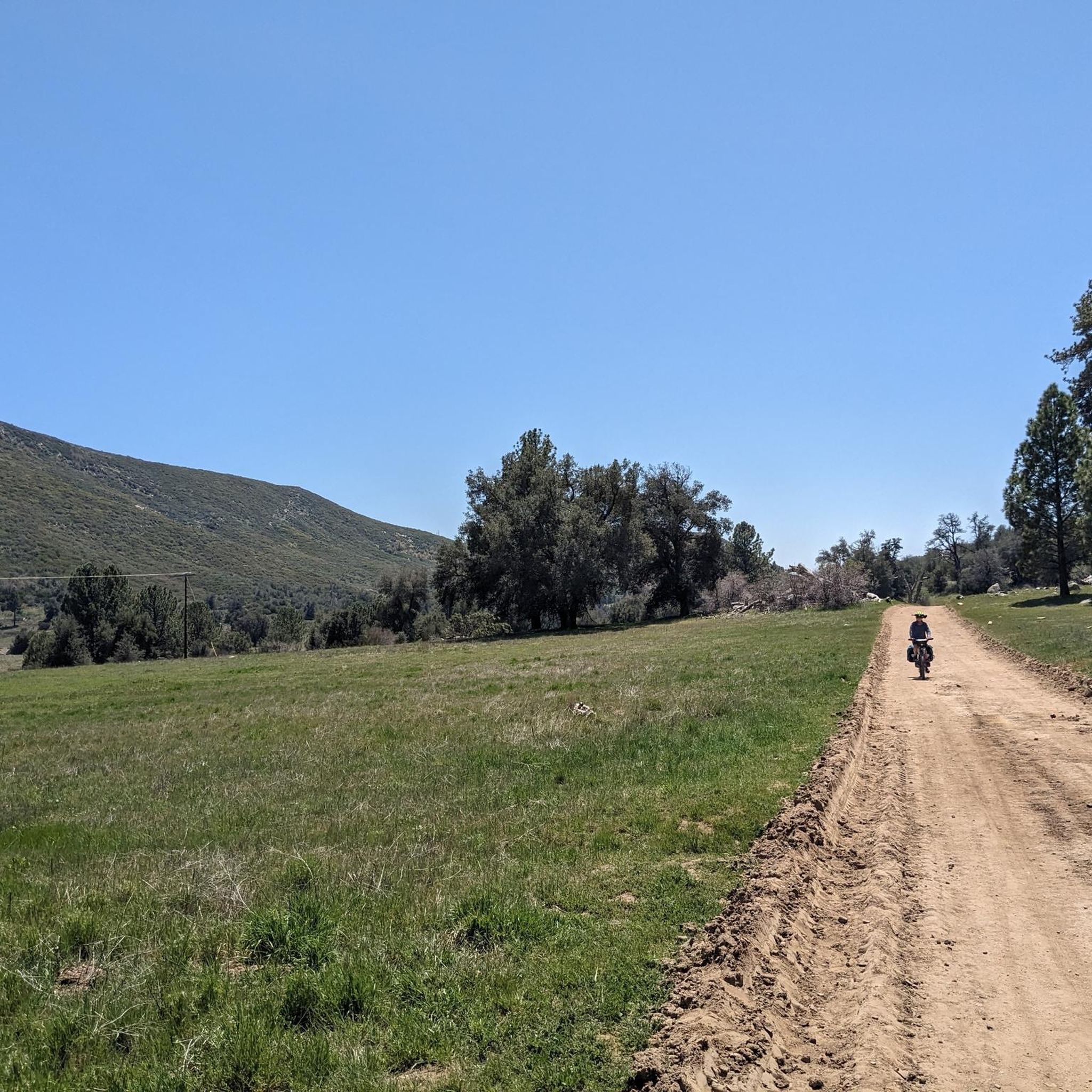
Jogging in the Laguna Mountains offers diverse landscapes, characterized by dense forests, expansive meadows, and varied terrain. The region's high elevation contributes to cooler temperatures and provides panoramic vistas extending to the Salton Sea and Pacific Ocean. Joggers can explore a mix of sage scrub, chaparral-covered hills, and riparian creekside areas. This varied topography creates an extensive trail system suitable for different fitness levels.
Best jogging routes in the Laguna Mountains
- The most popular jogging route is Rock House Trail…
Last updated: October 10, 2026
18
runners
7.00km
00:58
270m
270m
Moderate run. Good fitness required. Mostly paved surfaces. Suitable for all skill levels.
12
runners
14.9km
01:53
230m
230m
Moderate run. Good fitness required. Mostly paved surfaces. Suitable for all skill levels.

9
runners
10.6km
01:23
250m
250m
Moderate run. Good fitness required. Mostly paved surfaces. Suitable for all skill levels.
4
runners
10.4km
01:25
390m
390m
Hard run. Very good fitness required. Mostly paved surfaces. Suitable for all skill levels.
5
runners
20.1km
02:55
950m
950m
Hard run. Very good fitness required. Mostly paved surfaces. Suitable for all skill levels.
2
runners
7.15km
00:52
40m
40m
Moderate run. Good fitness required. Mostly paved surfaces. Suitable for all skill levels.
3
runners
10.9km
01:24
240m
240m
Moderate run. Good fitness required. Mostly paved surfaces. Suitable for all skill levels.
1
runners
3.60km
00:26
30m
30m
Easy run. Great for any fitness level. Mostly paved surfaces. Suitable for all skill levels.
2
runners
3.54km
00:25
50m
50m
Easy run. Great for any fitness level. Mostly paved surfaces. Suitable for all skill levels.
2
runners
24.9km
03:00
930m
930m
Hard run. Very good fitness required. Mostly paved surfaces. Suitable for all skill levels.
Get access to more routes and recommendations from other explorers.
Already have an account?
Our route recommendations are based on thousands of hikes, rides, and runs completed by other people on komoot.
Start today with a free account
Your next adventure awaits.
Popular around Laguna Mountains




Tips from the Community

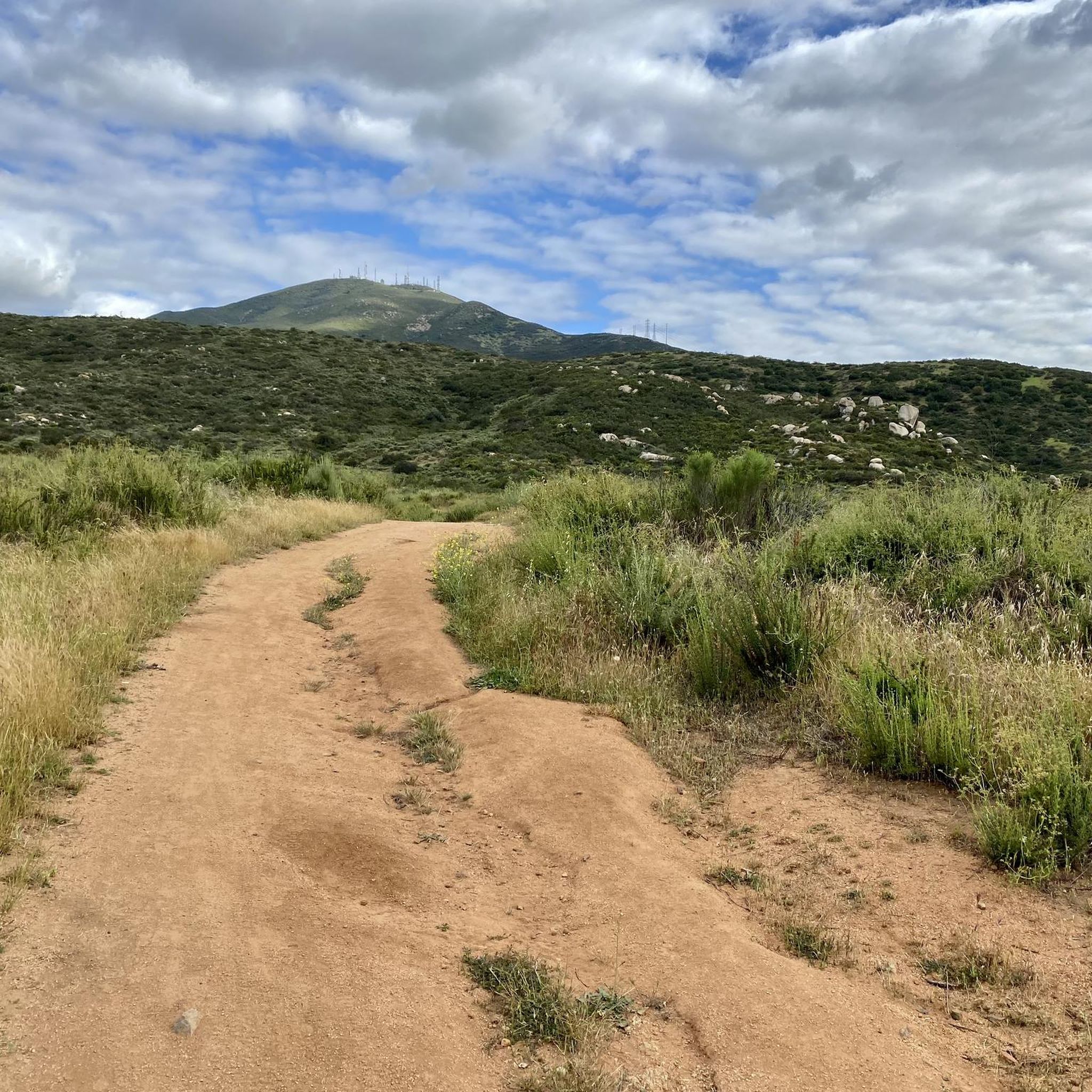
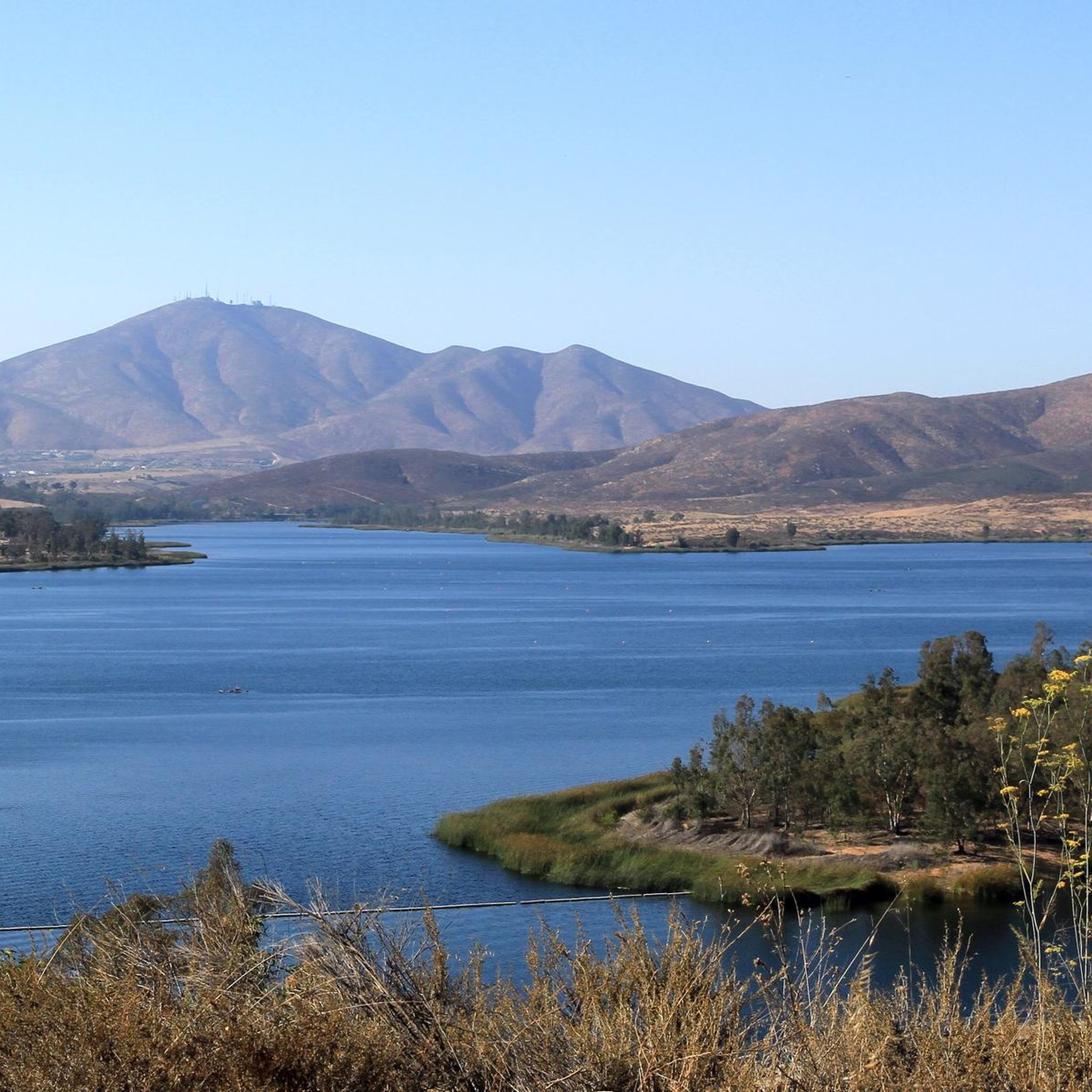
The paths around Sweetwater Reservoir are primarily well-worn dirt, with most junctions clearly signed, though some of the less frequented routes can become overgrown. As you near San Miguel Mountain, the terrain becomes increasingly rugged and challenging, while open views of the reservoir and surrounding hills remain a constant backdrop.
1
0
The Sweetwater River Trail is an 8-mile loop trail that runs along both sides of the river. The trail has some elevation gain, but this gives you nice views of the nearby mountains.
0
0

Goodan Ranch has a rich history; the area was once inhabited by the Kumeyaay Indians and then served as a working ranch. Today, the preserve is a popular destination for hiking and mountain biking. The Goodan Ranch Sycamore Canyon Preserve features diverse scenery and habitats, like mixed sage scrub, chaparral-covered hills, open grasslands, and riparian creekside areas.
0
0

This Grove of oak trees survived a big cedar fire in 2003. The Grove is dedicated as a memorial to Martha Harville, a park ranger who died at 31 years of age in 1988.
0
0
This Junction between Otay Mountain Truck Trail intersects and Minnewawa Truck Trail offers a great place to pause and admire the view. There is also a trail leading to the Doghouse Junction Summit at this point.
0
0
3,568 foot Otay Mountain is a challenging climb with a great payoff. Reaching the top, you can view the Chula Vista area, surrounding peaks, and the border with Tijuana.
0
0
This 6,100-acre nature preserve has some nice trails featuring trees, chaparral, and views of Otay Mountain and the Jamul Mountains.
0
0
Here you will find a nice spot to admire the east side of the Lower Otay Reservoir and the Otay Mountain Wilderness. Since the east side trail ends here, it is a good spot to pause before heading back around the lake.
0
0
Frequently Asked Questions
How many running routes are available in the Laguna Mountains?
There are over 75 running routes available in the Laguna Mountains, offering a wide variety of options for different fitness levels and preferences.
What is the overall difficulty level of running trails in the Laguna Mountains?
The Laguna Mountains offer a diverse range of running trails. You'll find 9 easy routes perfect for a relaxed jog, 35 moderate routes for a good workout, and 32 difficult routes for those seeking a challenging run with significant elevation gains.
What do other runners say about the trails in the Laguna Mountains?
The running routes in the Laguna Mountains are highly rated by the komoot community, with an average score of 5.0 stars. Runners often praise the varied terrain, from dense forests to open meadows, and the spectacular views, especially those extending to the Salton Sea and the Pacific Ocean.
Are there any easy running routes suitable for beginners or a relaxed jog?
Yes, for an easy and scenic run, consider the Upper Otay Reservoir loop. This 2.2-mile (3.5 km) trail offers beautiful lake views and is generally completed in about 25 minutes. Another great option is the Sweetwater River Trail loop, which is also an easy 2.2-mile (3.6 km) path.
Can I find challenging running routes with significant elevation in the Laguna Mountains?
Absolutely. For a challenging run, the Otay Mountain via Minnewawa Truck Trail is a difficult 12.5-mile (20.1 km) route with over 3,100 feet (946 meters) of elevation gain. Another demanding option is the Otay Mountain Truck Trail, a 15.5-mile (24.9 km) route with similar elevation challenges.
Are there any running routes that offer panoramic viewpoints or natural landmarks?
Many routes offer stunning views. The Rock House Trail to Mother Miguel Mountain provides panoramic views of San Diego Bay and the Pacific Ocean. You can also find incredible vistas from highlights like Storm Canyon Overlook and Kwaaymii Point, which are accessible from various trails in the region.
Are there any waterfalls or unique natural features to see while running?
Yes, the Laguna Mountains are home to diverse natural features. While running, you might encounter areas with dense pine and oak forests, expansive meadows, and riparian creekside areas. For a specific natural wonder, Cedar Creek Falls is a notable waterfall in the region, though access might require specific trail planning.
Are there any loop running routes in the Laguna Mountains?
Yes, several loop routes are available. The Upper Otay Reservoir loop and the Sweetwater River Trail loop are both easy options. For a more challenging loop, consider the Mother Miguel Mountain and Rock House Trail Loop, which is a difficult 6.5-mile (10.4 km) route.
What is the best time of year to go running in the Laguna Mountains?
The Laguna Mountains offer pleasant running conditions for much of the year due to their higher elevation, which provides cooler temperatures. Spring (May and June) is particularly beautiful with abundant wildflowers. While the area experiences annual snowfall, making it unique for winter activities, be prepared for colder conditions if running during these months. Always check local weather before heading out.
Are there any family-friendly running trails in the Laguna Mountains?
For families looking for an enjoyable run or walk, the easier routes are generally best. The Upper Otay Reservoir loop is a great choice, offering scenic views on a relatively flat path. The diverse terrain and extensive trail network mean there are many options to suit different ages and abilities.
Are dogs allowed on the running trails in the Laguna Mountains?
Many trails within the Laguna Mountains, particularly those in the Cleveland National Forest, are dog-friendly. However, it's always recommended to check specific trail regulations before you go, as rules can vary. Generally, dogs should be kept on a leash to protect wildlife and ensure the safety of other trail users.
What kind of wildlife and plant life can I expect to see while running?
The Laguna Mountains are rich in biodiversity. You might spot mule deer, wild turkeys, coyotes, and various bird species like stellar jays and hawks. The flora transitions from chaparral at lower elevations to dense pine-oak woodlands, featuring species like Jeffrey pines, black oaks, and a spectacular display of wildflowers in spring, including lupine and tidy tips.
Are there any cafes or amenities near the running trails?
While the Laguna Mountains offer a more remote outdoor experience, you can find some amenities in nearby communities. For specific cafes or accommodations, you might need to venture into towns like Julian, which is known for its charming atmosphere and local eateries. It's advisable to carry sufficient water and snacks for your run.
Most popular routes in the Laguna Mountains
Most popular attractions in the Laguna Mountains

Get inspired with the komoot mobile app


Explore more
Browse the best Running Trails & Routes in other regions.
