The best running trails in the San Gabriel Mountains
4.7
(44)
3,463
runners
191
runs
Jogging in the San Gabriel Mountains offers a diverse landscape with varied terrain and elevations, ranging from paved paths to challenging mountain trails. The region features prominent peaks, numerous canyons, and waterfalls, providing a range of scenic backdrops for running. Lower elevations include lush vegetation and riparian habitats along stream courses. An extensive network of trails is available, catering to different fitness levels.
Best jogging routes in the San Gabriel Mountains
- The most popular jogging route is Devil's Backbone Trail…
Last updated: October 10, 2026
74
runners
16.4km
02:55
1,190m
1,190m
Prepare for a challenging jogging experience on the Devil's Backbone Trail loop, a difficult route spanning 10.2 miles (16.4 km) with a significant 3888 feet (1185 metres) of elevation gain.…

23
runners
16.0km
01:51
400m
400m
Hard run. Very good fitness required. Mostly paved surfaces. Suitable for all skill levels.

23
runners
12.7km
01:19
40m
40m
The South Fork River Trail offers a pleasant jogging experience along the river. You can expect picturesque views of the water and surrounding nature as you move along the path.…
4.0
(1)
16
runners
9.74km
01:23
410m
410m
Prepare for a challenging jogging experience on the Don Mullally Trail, a difficult route covering 6.1 miles (9.7 km). You will encounter a significant elevation gain of 1356 feet (413…
8
runners
8.36km
01:07
250m
250m
Get ready to jog the Canyon Trail, a moderate 5.2-mile (8.4 km) route that winds through the natural landscape of Placerita Canyon State Park. You'll experience a varied mix of…
7
runners
11.8km
01:54
530m
530m
If you're looking for a challenging jogging experience, the Canyon, Los Pinetos, and Viper Trails Loop delivers. This difficult 7.3-mile (11.8 km) route will test your endurance with a significant…
7
runners
15.5km
01:53
640m
640m
Embark on a challenging jogging adventure up Los Pinetos Peak via Santa Clara Trail, a difficult route spanning 9.6 miles (15.5 km) with a significant 2101 feet (640 metres) of…
5
runners
8.24km
01:10
400m
400m
Start your difficult jogging adventure on the O'Melveny Park to Mission Point Loop, a challenging route spanning 5.1 miles (8.2 km). You'll begin amidst the pleasant green lawns and shaded…
5
runners
7.22km
01:03
350m
350m
If you're ready for a difficult jogging challenge, the Mission Point Loop offers a rewarding experience. This 4.5-mile (7.2 km) route features a substantial elevation gain of 1153 feet (351…
3
runners
11.6km
01:39
670m
670m
Hard run. Very good fitness required. Mostly paved surfaces. Suitable for all skill levels.
Get access to more routes and recommendations from other explorers.
Already have an account?
Our route recommendations are based on thousands of hikes, rides, and runs completed by other people on komoot.
Start today with a free account
Your next adventure awaits.
Popular around San Gabriel Mountains

Bikepacking California — Into The Desert

Pacific Crest Trail from Mexico to Canada – 4,200 kilometres of wilderness
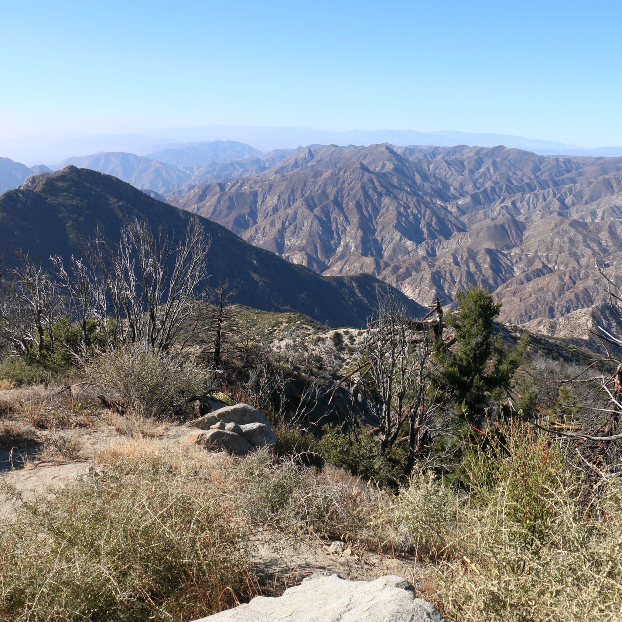
Hiking in the San Gabriel Mountains
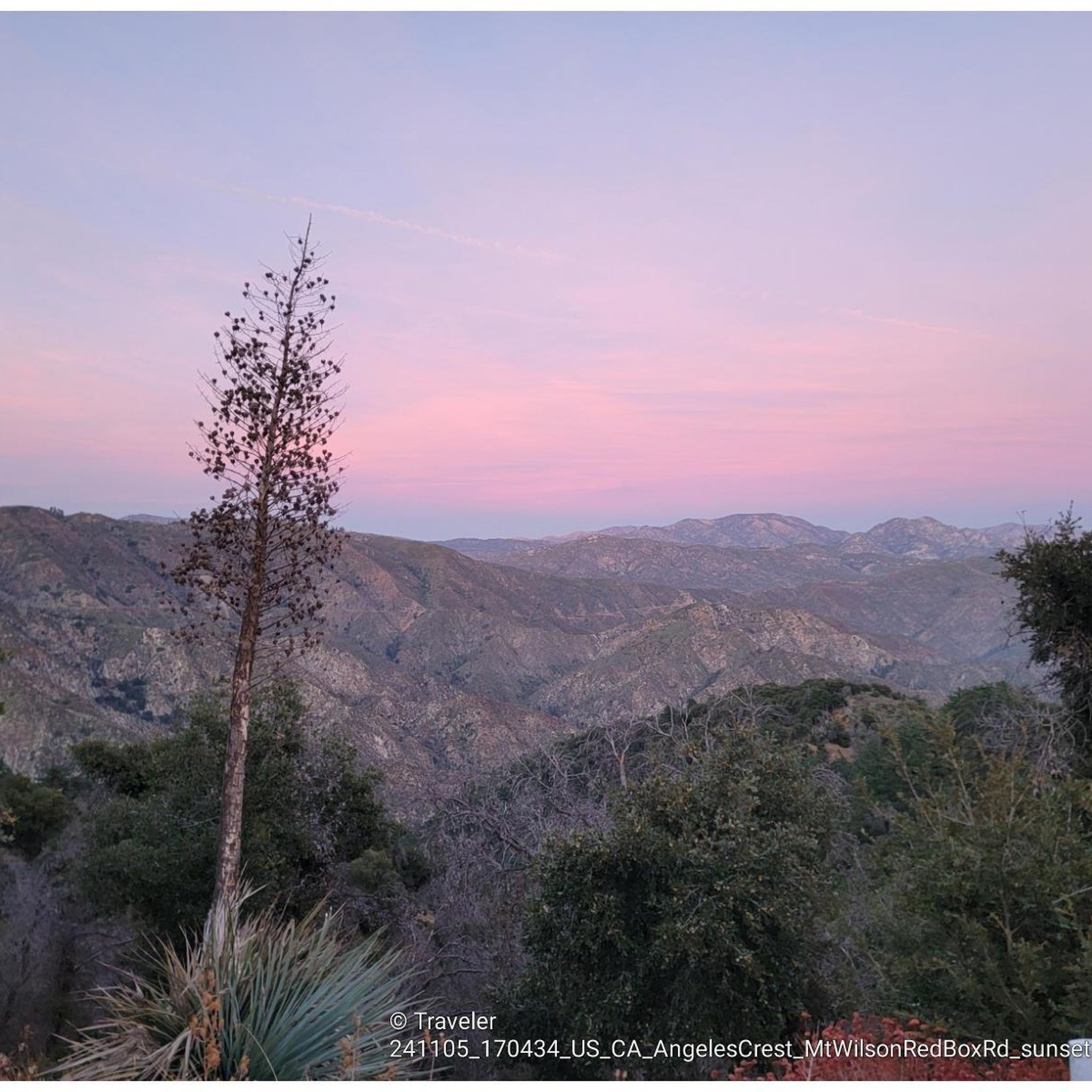
MTB Trails in the San Gabriel Mountains
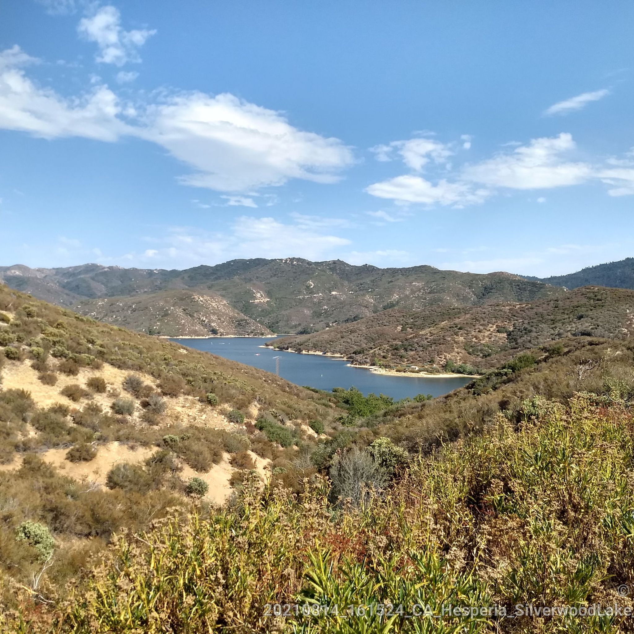
Road Cycling Routes in the San Gabriel Mountains
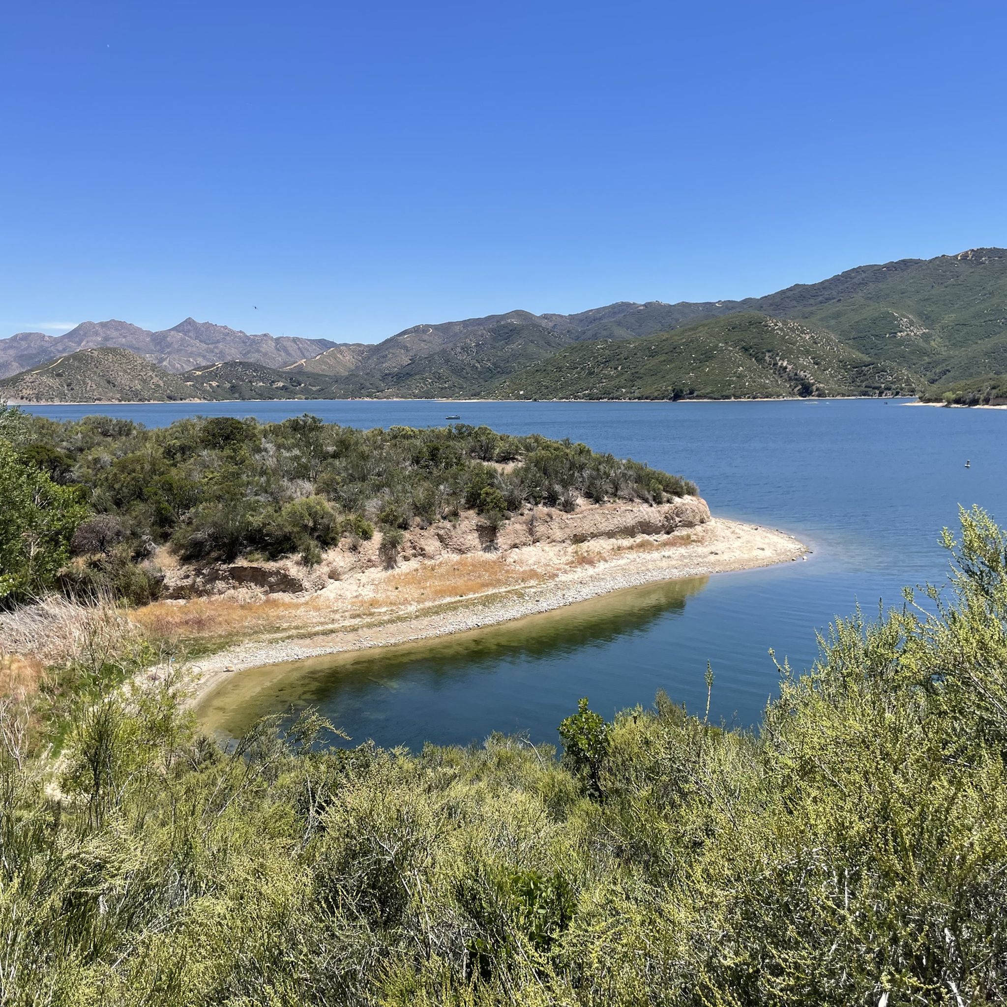
Cycling in the San Gabriel Mountains
Gravel biking in the San Gabriel Mountains


Tips from the Community

Steep going up but we'll worth the views at Mission Point. Watch for coyotes. Not too technical. usually dry and exposed trail.
0
0

The Devils Backbone Trail is one of the most popular trails to summit Mount San Antonio (Mt. Baldy). Unlike the other most popular trail, the Baldy Bowl, or Ski Hut, Trail this trail is longer and more gradual making for a somewhat easier, but still very challenging experience.
0
0

The Baldy Bowl Trail, or the Ski Hut Trail, is the shortest way up to the summit of Mount San Antonio (Mt. Baldy), the highest point in Los Angeles County. In order to achieve this however, the trail more or less bombs up the side of the mountain and is quite steep.
0
0

Mount San Antonio, also known as Old Baldy or Mount Baldy, is the highest peak in the San Gabriel Mountains at 10,069 feet (3,069 m) and the highest point in Los Angeles County, California. The sometimes snow-capped summit of Mount San Antonio is also visible in Los Angeles on clear days and is a dominant sight from the city.
1
0

At 3,560 feet, Los Pinetos Peak serves as the highest point along Santa Clara Divide Road. The lower sections of the roads leading to the summit are paved, but all the paths turn to dirt and are closed to public vehicles (besides bikes and pedestrians). There are great views of the valley and foothills from the summit.
0
0

Mission Point is a popular destination for hikers and mountain bikers. The views from the top are spectacular and you can see most of the San Fernando Valley and on a clear day the ocean.
0
0

O'Melveny Park in Granada Hills is a large park, it is the second largest park in Los Angeles County after Griffith Park. It is a great place to hike or run. Having a run out up the O'Melveny Trail up to Mission Point is great fun, not that overcrowded and it has great mountain views.
0
0
The Viper Trail is a steep, sandy trail that's rated as "expert" for mountain bikers. This can be a tough trail to run up, but it can be even tougher to run down with the rocks and the loose sand. If you just take your time, this isn't a dangerous trail, but the sand can make the upper portion a little more tedious.
0
0
Frequently Asked Questions
How many running routes are available in the San Gabriel Mountains?
The San Gabriel Mountains offer an extensive network of over 200 running routes. These trails cater to a wide range of fitness levels, from easy jogs to challenging mountain runs.
What kind of terrain can I expect on the jogging trails in the San Gabriel Mountains?
You'll find a diverse range of terrain, from relatively flat, paved paths to challenging mountain trails with significant elevation gain. The region features lush riparian habitats along stream courses, canyons, and unique geological formations like those at Vasquez Rocks Natural Area Park, providing varied backdrops for your run.
Are there any easy or beginner-friendly jogging routes in the San Gabriel Mountains?
Yes, the San Gabriel Mountains offer options for almost any fitness level. There are 10 easy routes available, and many trails, like sections of the Claremont Wilderness Loop, are accessible for beginners. For a moderate option, consider the Whitney Canyon Road Trail, which is just under 5 km with minimal elevation gain.
Can I find routes with waterfalls or scenic canyons for my run?
Absolutely! The San Gabriel Mountains are home to numerous canyons and waterfalls. Notable examples include Eaton Canyon Waterfall, Sturtevant Falls, Fish Canyon Falls, and Cooper Canyon Falls, all offering scenic routes and refreshing views for runners.
What do other runners enjoy most about jogging in the San Gabriel Mountains?
The running routes in the San Gabriel Mountains are highly rated by the komoot community, with an average score of 4.8 stars from over 30 reviews. Runners often praise the varied terrain, majestic mountain views, and the opportunity to experience both challenging climbs and serene riparian habitats.
Are there any circular running routes in the San Gabriel Mountains?
Yes, many routes in the San Gabriel Mountains are designed as loops. For a challenging circular run, you might explore the Canyon, Los Pinetos, and Viper Trails Loop, which covers over 11 km with significant elevation. Another option is the Mission Point Loop, a 7.2 km challenging trail.
What are some notable landmarks or points of interest I might see while running?
Beyond the natural beauty, you can encounter historical sites and impressive viewpoints. For instance, the Mount Lowe Railway Ruins on Echo Mountain offer a glimpse into the area's past. You might also spot prominent peaks like Mount Baldy or enjoy panoramic views from Seven Trees Overlook.
Are there any long-distance running trails for experienced runners?
Experienced runners will find plenty of challenging options. Many routes extend over 10 miles with significant elevation gain. For example, the Los Pinetos Peak via Santa Clara Trail is a difficult 15.5 km route, and the Don Mullally Trail offers a challenging 9.7 km run.
Are there any trails that follow river courses or offer shaded running?
Yes, at lower elevations, you can find trails that wind through broadleaf forestation and riparian habitats, providing shade and a refreshing experience. The South Fork River Trail is a great example, leading through such environments and offering a moderate 12.7 km run.
What is the accessibility like for the San Gabriel Mountains, especially for those coming from Los Angeles?
The San Gabriel Mountains are highly accessible, serving as a crucial recreational 'backyard' just 90 minutes from Los Angeles. They provide 70% of Los Angeles County's open space, making them a convenient escape for millions seeking outdoor activities like jogging.
Are there any facilities or places to rest near the running trails?
Yes, you can find various facilities within the San Gabriel Mountains. For instance, there are several huts and campgrounds like San Antonio Ski Hut or Crystal Lake Campsite and Cafe, which might offer places to rest or grab a bite.
Most popular routes in the San Gabriel Mountains
Most popular attractions in the San Gabriel Mountains

Get inspired with the komoot mobile app


Explore more
Browse the best Running Trails & Routes in other regions.
