The best road cycling routes in the San Gabriel Mountains
4.7
(141)
5,171
riders
170
rides
Road cycling routes in the San Gabriel Mountains traverse a diverse landscape characterized by majestic mountain peaks, deep canyons, and varied ecosystems. The region features significant elevation gains, with routes climbing towards prominent summits like Mount Wilson. Riders can experience transitions from high alpine environments to more arid conditions, often within a single ride. The terrain includes both challenging ascents and scenic canyon roads, providing a range of experiences for road cyclists.
Best road cycling routes in the San Gabriel…
Last updated: October 10, 2026
5.0
(1)
256
riders
76.9km
04:53
1,860m
1,860m
Embark on the Pasadena to Mount Wilson racebike route, a difficult ascent that takes you high above the Los Angeles basin. This challenging ride covers 47.8 miles (76.9 km) and…
5.0
(14)
198
riders
41.7km
02:06
210m
210m
Embark on the Santa Clara River and San Francisquito Creek Trail Loop for a moderate racebike ride that blends urban shorelines with natural settings. This 25.9-mile (41.7 km) route will…

66
riders
86.3km
04:19
1,110m
1,110m
Hard road ride. Very good fitness required. Mostly well-paved surfaces and easy to ride.
34
riders
83.5km
04:00
970m
970m
Hard road ride. Very good fitness required. Mostly well-paved surfaces and easy to ride.
3
riders
78.8km
04:45
1,800m
1,800m
This difficult 49.0-mile road cycling loop from University Village to Arrowhead Lake offers challenging climbs and mountain views.
64.5km
03:58
1,750m
1,750m
This difficult 40.1-mile road cycling route from Cajon Pass to Vincent Gap offers challenging climbs and scenic views in the Angeles Nationa
62.1km
03:52
1,460m
1,460m
The Mount Gleason Loop is a challenging 38.6-mile road cycling route in Angeles National Forest, offering dramatic views and significant cli
5.0
(11)
544
riders
44.6km
02:23
760m
760m
Moderate road ride. Good fitness required. Mostly well-paved surfaces and easy to ride.
4.9
(10)
213
riders
35.2km
01:53
510m
510m
Moderate road ride. Good fitness required. Mostly well-paved surfaces and easy to ride.
219
riders
129km
07:05
2,430m
2,430m
Hard road ride. Very good fitness required. Mostly well-paved surfaces and easy to ride.
Get access to more routes and recommendations from other explorers.
Already have an account?
Our route recommendations are based on thousands of hikes, rides, and runs completed by other people on komoot.
Start today with a free account
Your next adventure awaits.
Popular around San Gabriel Mountains

Bikepacking California — Into The Desert

Pacific Crest Trail from Mexico to Canada – 4,200 kilometres of wilderness
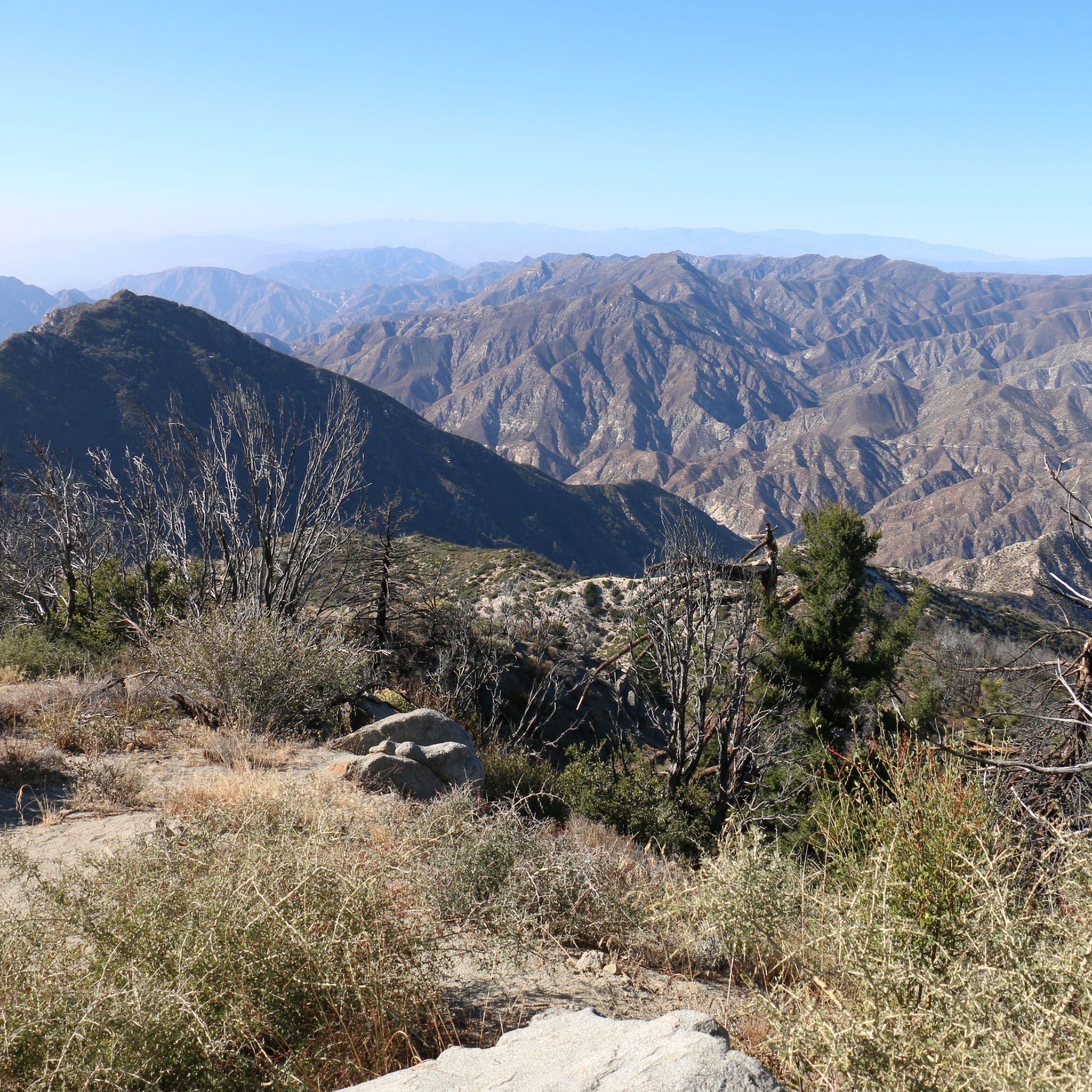
Hiking in the San Gabriel Mountains
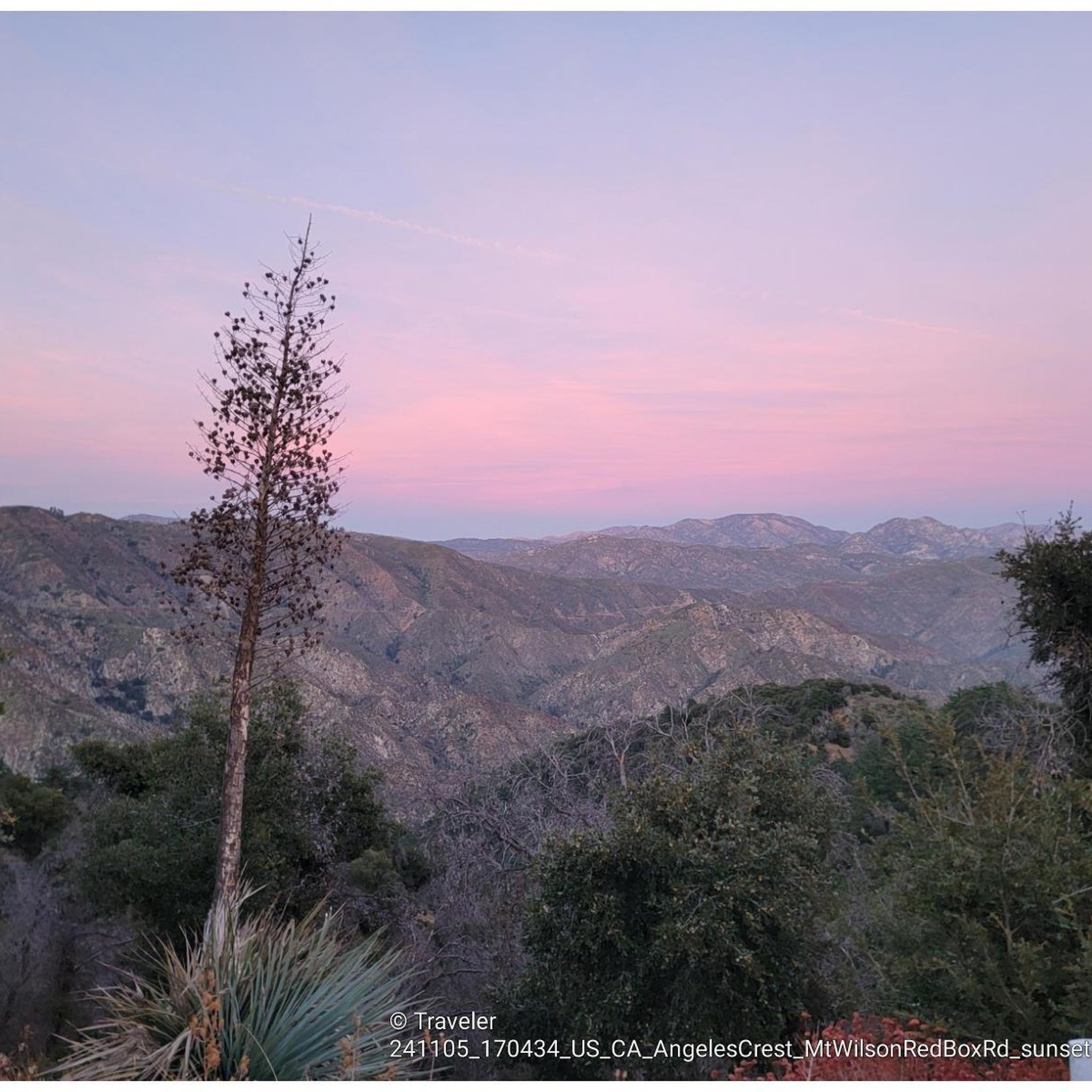
MTB Trails in the San Gabriel Mountains
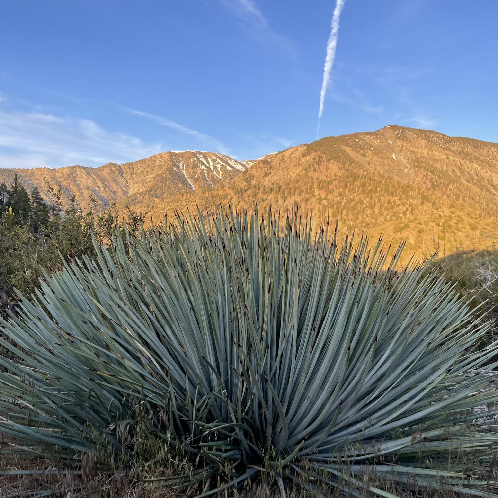
Running Trails in the San Gabriel Mountains
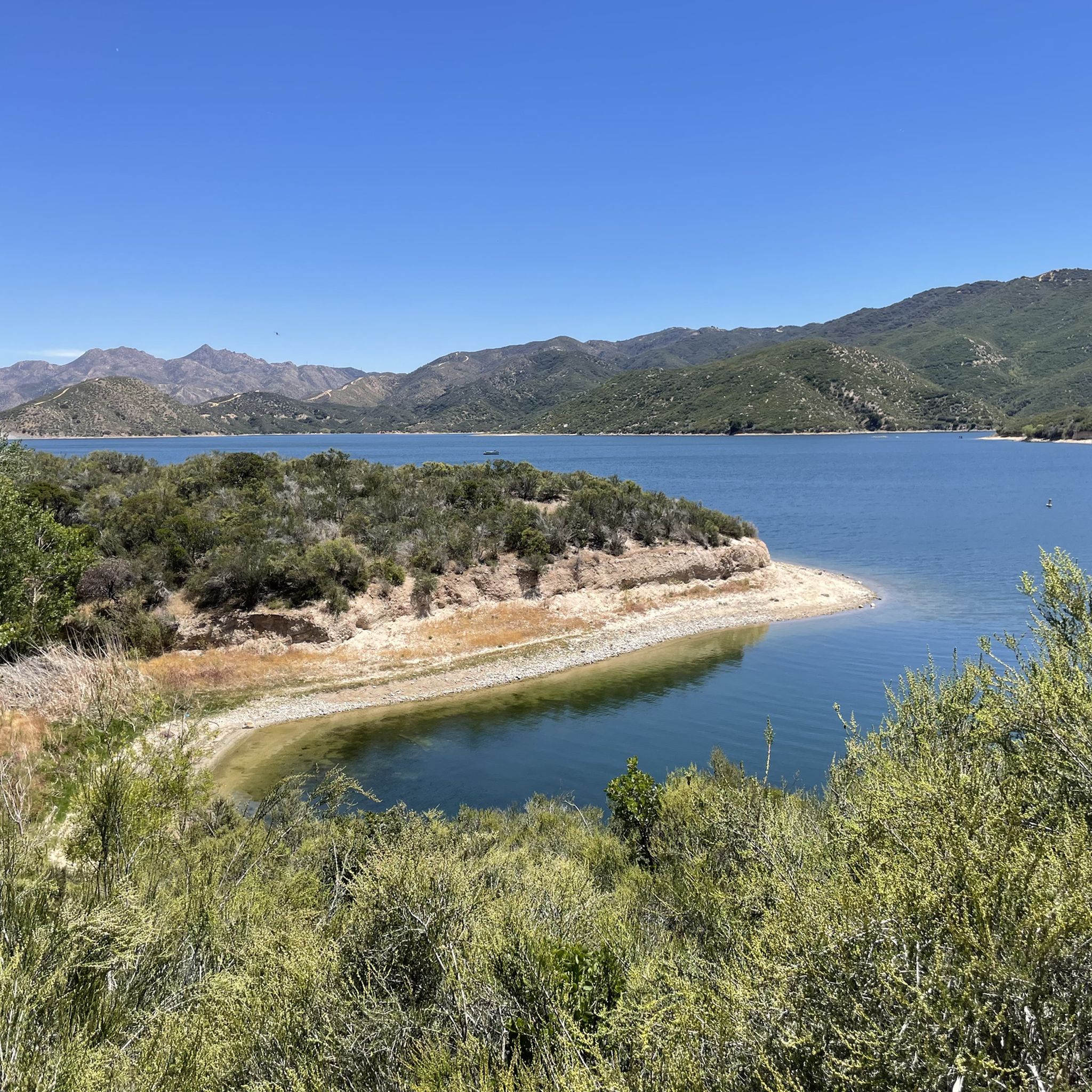
Cycling in the San Gabriel Mountains
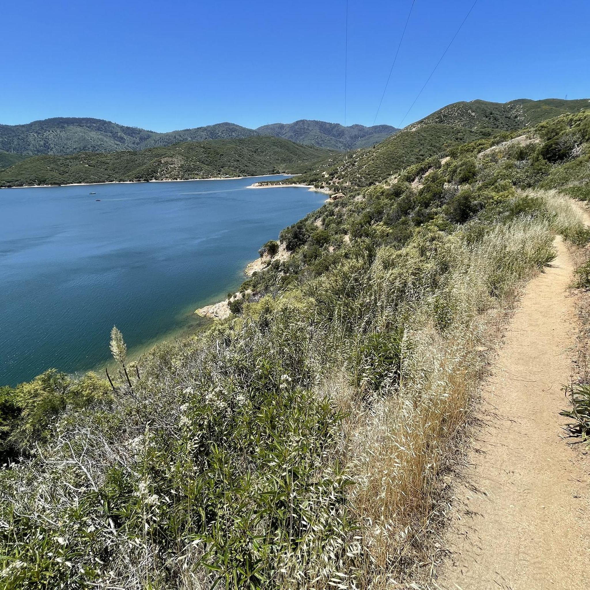
Gravel biking in the San Gabriel Mountains


Tips from the Community

This trail currently runs about 38 miles in several disconnected segments; there are plans to eventually unify it in a continuous, 50-mile swath. There are stretches of dirt mixed in with the paved trail, so you're best off with a touring bike instead of a road bike.
0
0

Griffith's iconic Observatory is southern California's gateway to the cosmos. This hugely popular venue is the most visited observatory in the world. Since opening in 1935, the Observatory has welcomed over 85 million visitors. It is also 1,134 feet above sea level and is visible from most parts of the city it also has some of the best views of downtown Los Angeles and in particular the world-famous Hollywood Sign.
1
0

This is where you leave Crystal Lake Road to get to Crystal Lake. Crystal Lake is a beautiful lake in the San Gabriel Mountains. If you want to stay the night, there are campsites on the banks of the lake.
0
0

The Crystal Lake climb begins in the Angeles National Forest, offering cyclists a moderately challenging route through some scenic landscapes. As you approach the 7-mile mark, the climb starts to reward your efforts with dramatic views of the winding switchbacks and the canyon below. The final stretch on Crystal Lake Road provides a peaceful, lightly trafficked road, ideal for cyclists to finish the climb on a well-maintained path with stunning views ahead.
0
0
Highway 39 climbs deep into Southern California’s San Gabriel Mountains, starting with a steady grade that twists through rugged terrain and offers sweeping views. After passing multiple switchbacks, a Crystal Lake turnoff, and a gated parking area around mile 12, the road softens slightly, continuing along a scenic ridgeline toward the junction with Angeles Crest Highway. A final moderate push leads you to Dawson Saddle at just under 8,000 feet, a summit raced by the pros and known as one of California’s most difficult ascents.
0
0

Syndicate Coffee in Sierra Madre serves up a blend of coffee, baked goods, and meals every day from 7:30 AM to 4 PM. This spot is for foodies, pastry lovers, and coffee enthusiasts.
0
0
Inspiration Point is a scenic viewpoint where the Pacific Crest Trail crosses the Angeles Crest Highway; there is a parking area here.
0
0
Vincent Gap has a restroom and parking and some nice views of the surrounding area. There is a gate beyond the gab heading west that is seasonally closed. Continue past the gates to further your adventure on the scenic Angeles Crest Highway.
0
0
Frequently Asked Questions
What kind of terrain can I expect when road cycling in the San Gabriel Mountains?
The San Gabriel Mountains offer a diverse road cycling experience, characterized by majestic mountain peaks, deep canyons, and varied ecosystems. You'll encounter significant elevation gains, with routes climbing towards prominent summits like Mount Wilson. Riders can experience transitions from high alpine environments to more arid conditions, often within a single ride, featuring both challenging ascents and scenic canyon roads.
How many road cycling routes are available in the San Gabriel Mountains?
There are over 160 road cycling routes available in the San Gabriel Mountains, catering to various skill levels. This includes 34 easy routes, 83 moderate routes, and 46 difficult routes, ensuring options for every cyclist.
What are some of the most challenging road cycling routes in the San Gabriel Mountains?
For experienced cyclists seeking a challenge, routes like Pasadena to Mount Wilson offer substantial elevation gain over 47.8 miles. Other difficult options include the San Francisquito Canyon Loop and the Mount Gleason Loop, both featuring significant climbs and rewarding views.
Are there any moderate or easy road cycling routes for less experienced riders?
Yes, the San Gabriel Mountains offer routes suitable for moderate and easy rides. A popular moderate option is the Santa Clara River and San Francisquito Creek Trail Loop, which provides a mix of riverside views and open terrain over 25.9 miles. For an easier ride, consider the Griffith Park Drive – Baum Bicycle Bridge loop from Burbank Airport–South.
What is the best time of year for road cycling in the San Gabriel Mountains?
The San Gabriel Mountains generally offer favorable weather for cycling most of the year, with consistent sunny skies. However, occasional snowfall can occur at higher elevations during winter. Spring and fall typically provide the most comfortable temperatures and vibrant scenery, making them ideal for exploring the diverse landscapes.
What notable landmarks or natural features can I see along the road cycling routes?
Road cycling routes in the San Gabriel Mountains often pass by or offer views of significant landmarks. You might encounter the dramatic rock formations of Vasquez Rocks Natural Area Park, or the majestic Mount Baldy (Mount San Antonio), the highest peak in the range. The historic Colorado Street Bridge is another notable sight.
Are there any scenic viewpoints or waterfalls accessible from road cycling routes?
Absolutely. The region is known for its breathtaking vistas. You can find scenic viewpoints such as the San Gabriel Canyon Road Scenic View. Additionally, some areas feature seasonal waterfalls, like Eaton Canyon Waterfall, which can be a refreshing stop or a destination near certain routes.
What do other road cyclists enjoy most about the San Gabriel Mountains?
The San Gabriel Mountains are highly rated by the komoot community, with an average score of 4.7 stars from over 90 reviews. Cyclists frequently praise the challenging mountain ascents, the scenic canyon roads, and the diverse ecosystems that provide a varied and engaging riding experience. Many appreciate the opportunity to escape into nature so close to a major city.
Are there any loop routes for road cycling in the San Gabriel Mountains?
Yes, there are several excellent loop routes for road cyclists. The Soledad Canyon Loop is a popular choice, covering 53.6 miles through varied canyon landscapes. Another option is the University Village to Arrowhead Lake loop, offering a challenging ride with significant elevation changes.
Can I find routes that connect to river trails in the San Gabriel Mountains area?
Yes, the San Gabriel River and its tributaries are central to the region's outdoor recreation. While not exclusively road cycling, the San Gabriel River Trail itself is an 80.7-mile multi-use path that offers scenic views and connects with various areas, providing opportunities for classic day rides or extensions from other routes. The San Gabriel River East Fork Trail is also a notable feature.
What are the general difficulty levels of road cycling routes in this region?
The San Gabriel Mountains offer a full spectrum of difficulty levels for road cycling. You'll find easy routes with minimal elevation gain, moderate paths that provide a good workout, and numerous difficult routes featuring substantial climbs and long distances, often reaching high alpine environments. This variety ensures there's a suitable challenge for every skill level.
Most popular routes in the San Gabriel Mountains
Most popular attractions in the San Gabriel Mountains

Get inspired with the komoot mobile app


Explore more
Browse the best Road cycling routes in other regions.
