The best running trails in the Mc Cullough Range
5.0
(5)
227
runners
38
runs
Jogging in the McCullough Range offers diverse landscapes characterized by volcanic and metamorphic geology, including rounded peaks and rocky ridges. The region features a rich desert ecosystem with various cacti and unique plant species. Trails provide panoramic views of the Las Vegas Valley and surrounding mountains, with elevations ranging from 2,000 to over 7,000 feet. This varied terrain allows for routes with gradual elevation gain or more challenging endurance runs.
Best jogging routes in the Mc Cullough Range
- The most…
Last updated: July 8, 2026
14
runners
Hard run. Very good fitness required. Mostly paved surfaces. Suitable for all skill levels.
5.0
(1)
14
runners
Hard run. Very good fitness required. Mostly paved surfaces. Suitable for all skill levels.

Sign up for free
5.0
(1)
9
runners
10.9km
01:23
200m
200m
Moderate run. Good fitness required. Mostly paved surfaces. Suitable for all skill levels.
10
runners
10.4km
01:05
30m
30m
Moderate run. Good fitness required. Mostly paved surfaces. Suitable for all skill levels.
10
runners
12.4km
01:19
100m
100m
Moderate run. Good fitness required. Mostly paved surfaces. Suitable for all skill levels.
7
runners
10.5km
01:06
110m
110m
Moderate run. Good fitness required. Mostly paved surfaces. Suitable for all skill levels.
6
runners
9.18km
01:09
150m
150m
Moderate run. Good fitness required. Mostly paved surfaces. Suitable for all skill levels.
4
runners
8.31km
00:52
90m
90m
Moderate run. Good fitness required. Mostly paved surfaces. Suitable for all skill levels.
6
runners
6.34km
00:46
120m
120m
Moderate run. Good fitness required. Mostly paved surfaces. Suitable for all skill levels.
3
runners
8.68km
01:04
200m
200m
Moderate run. Good fitness required. Mostly paved surfaces. Suitable for all skill levels.
Get access to more routes and recommendations from other explorers.
Sign up for free
Already have an account?
Our route recommendations are based on thousands of hikes, rides, and runs completed by other people on komoot.
Start today with a free account
Your next adventure awaits.
Login or Signup

Other adventures in the Mc Cullough Range

Tips from the Community

It's pretty exposed once you're out here. Make sure to take water!
0
0
Natural point to start a ride, lots of different loop options from here.
0
0

Railroad Lake makes up the heart of Cornerstone Park. There are dirt and paved paths that circle around the reservoir that are popular for walking and jogging. You can connect these loop trails to the longer rail trails passing by here, too.
1
0
At an elevation of 3,120 feet, this trail intersection marks the high point on the McCullough Hills Trail. Even though it's the highest spot on the trail, there are lots of hills and small mountains rising high all around here.
0
0
Railroad Lake makes up the heart of Cornerstone Park. There are dirt and paved paths that circle around the reservoir that are popular for walking and jogging. You can connect these loop trails to the longer rail trails passing by here, too.
0
0

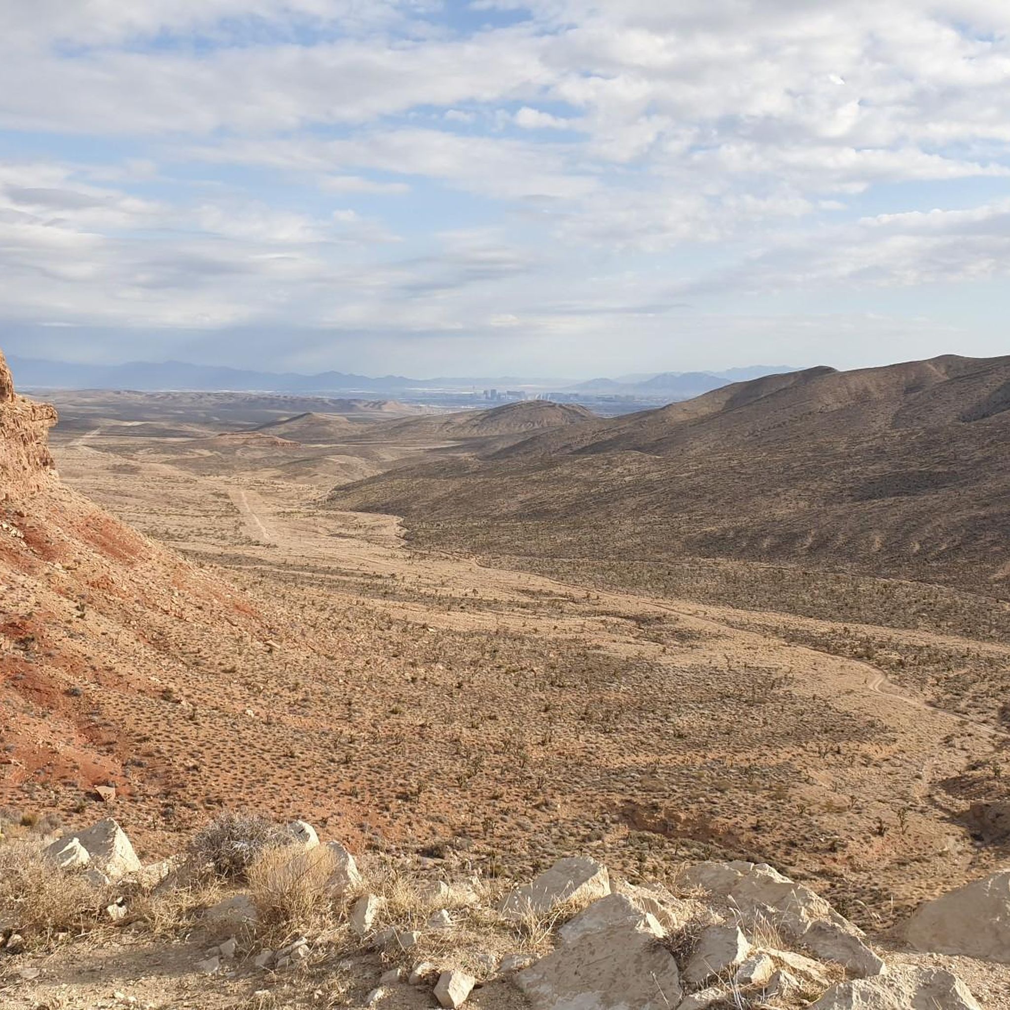
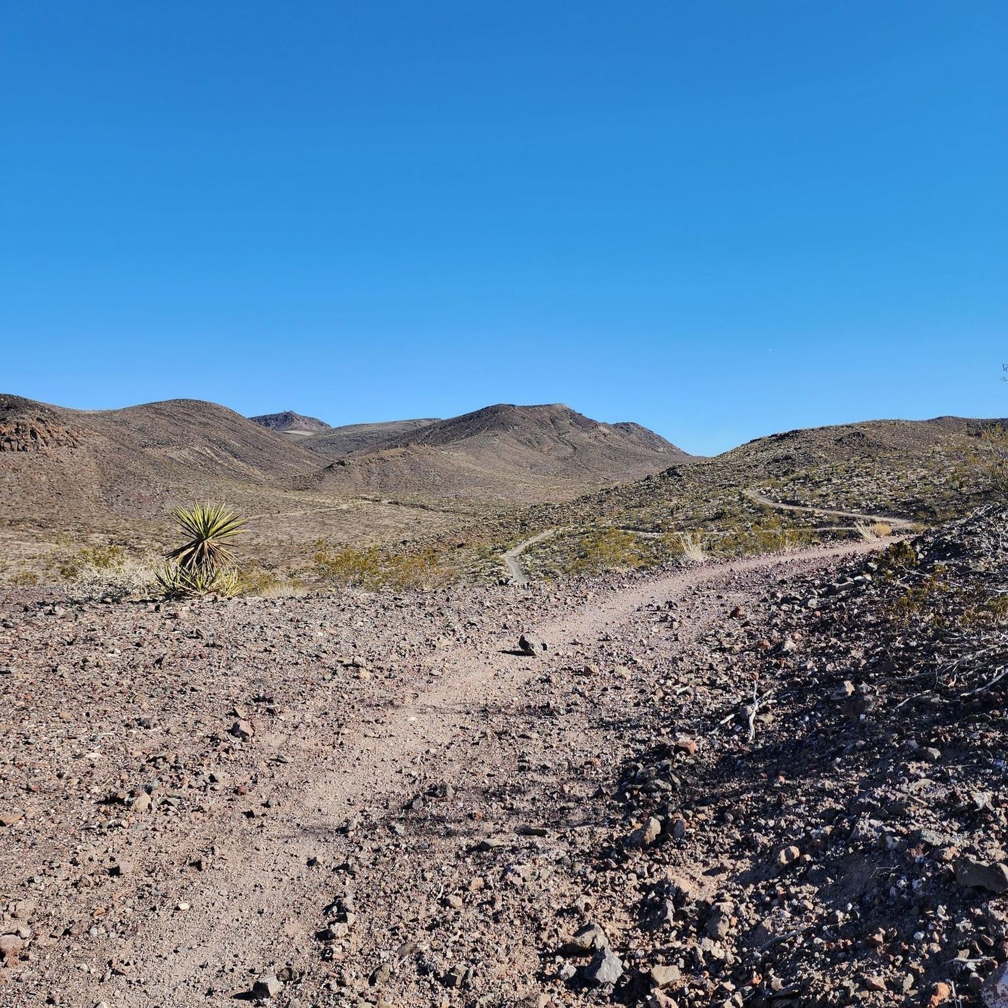
The McCullough Hills Trail runs between the trailhead at East Mission Drive in Henderson and the trailhead on McCullough Hills Parkway in Anthem. The trail offers stunning desert vistas with gradual elevation gain. It is well-marked and leads through desert terrain, showcasing native flora and fauna and panoramic views of the Las Vegas Valley and the surrounding mountains. You can loop around any of the connecting trails close to the trailheads for a loop hike, or hike the whole trail for a varied and challenging endurance hike.
2
0
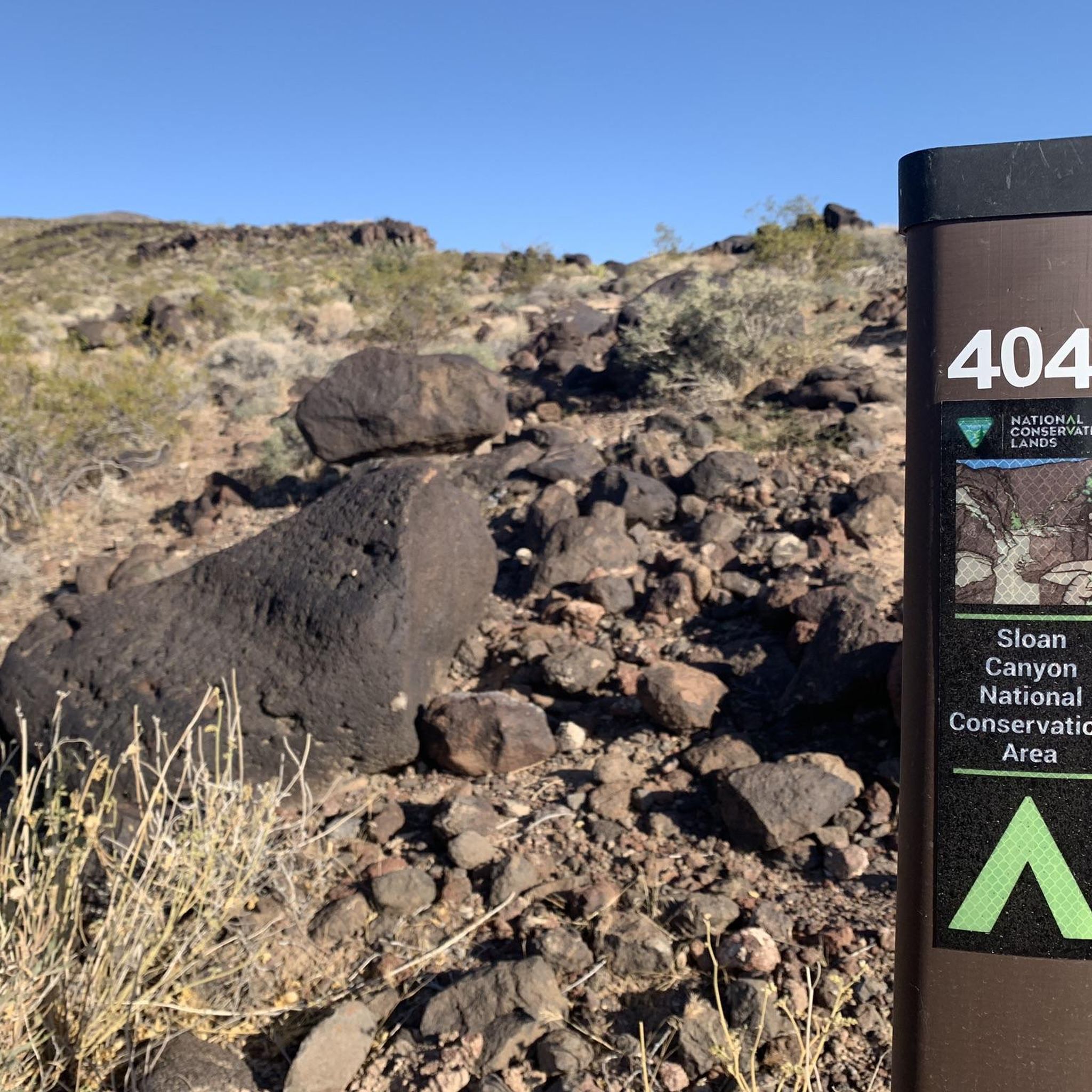
This trailhead leads to the northern end of the Sloan Canyon National Conservation Area. It is an easy access point for the McCullough Hills Trail and has parking available at the trailhead.
0
1

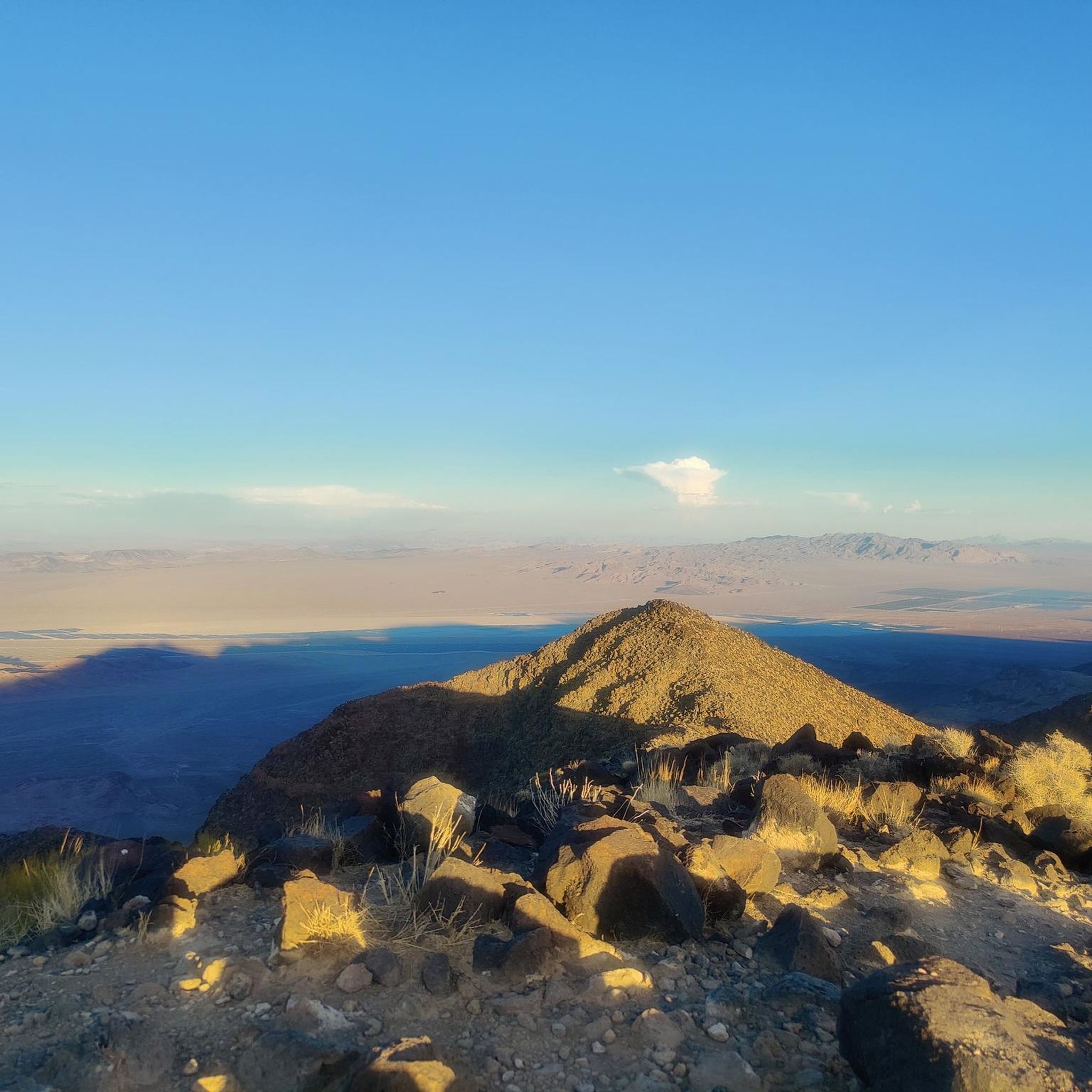
Located south of the Las Vegas Valley, Black Mountain is one of the more prominent peaks in the McCullough Range. There are many transmission towers from Las Vegas area television and radio stations on Black Mountain.
1
0
Frequently Asked Questions
How many running trails are available in the McCullough Range?
The McCullough Range offers a wide variety of running experiences, with over 35 routes available. These include options for all skill levels, from easy paths to challenging endurance runs.
What kind of terrain can I expect on the running routes in the McCullough Range?
You can expect diverse desert terrain, characterized by volcanic and metamorphic geology. Trails often feature rounded or flat-topped peaks, rocky ridges, and deep, narrow canyons. While many paths are smooth and wide, some sections may include cobblestones and scattered stones, offering varied footing. The region is also rich in desert ecosystems, with various cacti and unique plant species.
Are there running routes for different fitness levels?
Yes, the McCullough Range caters to various fitness levels. There are 8 easy routes perfect for beginners, 24 moderate routes for those with some experience, and 6 difficult routes for seasoned runners seeking a challenge. This varied terrain allows for runs with gradual elevation gain or more demanding endurance routes.
What do other runners say about the trails in the McCullough Range?
The running routes in the McCullough Range are highly rated by the komoot community, with an average score of 5.0 stars from several reviews. Over 200 runners have explored the varied terrain using komoot, often praising the stunning desert vistas and the sense of solitude despite the proximity to the Las Vegas Valley.
Are there any circular running routes in the McCullough Range?
Yes, many of the running routes in the McCullough Range are designed as loops. For example, you can try the McCullough Hills Trailhead loop from Palm Vistas, a moderate 4.7-mile (7.5 km) trail, or the more challenging Anthem East Trailhead – Black Mountain Trail loop from Shadow Canyon Trailhead Parking Lot, which is 7.2 miles (11.6 km) long.
Where can I find parking for the running trails?
Many popular trailheads in the McCullough Range offer dedicated parking. For instance, the McCullough Hills Trailhead and the Anthem East Trailhead are known starting points with parking facilities, making access convenient for runners.
What are some challenging running routes for experienced runners?
For experienced runners seeking a challenge, the McCullough Range offers routes with significant elevation gain. A notable option is the Black Mountain loop from Shadow Canyon Trailhead Parking Lot, which covers 8 miles (12.9 km) and features over 700 meters of ascent through rugged desert terrain.
What are some easy running routes for beginners?
Beginners can find several accessible routes in the McCullough Range. An easy option is the Running loop from Southbound Racetrack before Newport, a shorter 2.1-mile (3.3 km) trail with minimal elevation gain, perfect for a gentle introduction to desert running.
What kind of views can I expect while running in the McCullough Range?
Runners in the McCullough Range are treated to stunning desert vistas and panoramic views. Trails often provide expansive outlooks over the Las Vegas Valley and the surrounding mountains, offering a rewarding backdrop to your run. The diverse geology, including volcanic peaks and rocky ridges, also adds visual interest.
Are there any interesting landmarks or attractions along the running routes?
While the focus is on natural beauty, you can find some points of interest. The McCullough Range itself is known for its unique volcanic and metamorphic geology. Within the Sloan Canyon National Conservation Area, which is part of the northern McCullough Range, there are scenic trails and historical artifacts, including significant petroglyph panels. You might also pass by facilities like Acacia Park or the Railroad Pass Hotel & Casino near some routes.
What is the best time of year to go running in the McCullough Range?
The best time for running in the McCullough Range is typically during the cooler months, from late fall through early spring (October to April). Summers can be extremely hot, making early morning or late evening runs essential, or it's best to avoid midday heat altogether. Always check local weather forecasts and carry plenty of water.
Is public transport available to access the running trails?
While some areas near the McCullough Range are accessible by public transport in the broader Las Vegas Valley, direct public transport options to specific trailheads within the more remote parts of the range are limited. It's generally recommended to use a personal vehicle or ride-sharing services to reach the trail starting points for optimal convenience.
Are there any long-distance running options in the McCullough Range?
Yes, the McCullough Range offers several routes suitable for longer runs. For example, the Cornerstone Park – Railroad Lake Loop Path loop from Green Valley Ranch is a moderate 7.7-mile (12.4 km) route. Additionally, connecting trails within the network allow for extending runs to cover greater distances and increase endurance challenges.
Most popular routes in the Mc Cullough Range
Most popular attractions in the Mc Cullough Range

Get inspired with the komoot mobile app


Explore more
Browse the best Running Trails & Routes in other regions.
