Top 14 Mountain Passes around Roubion
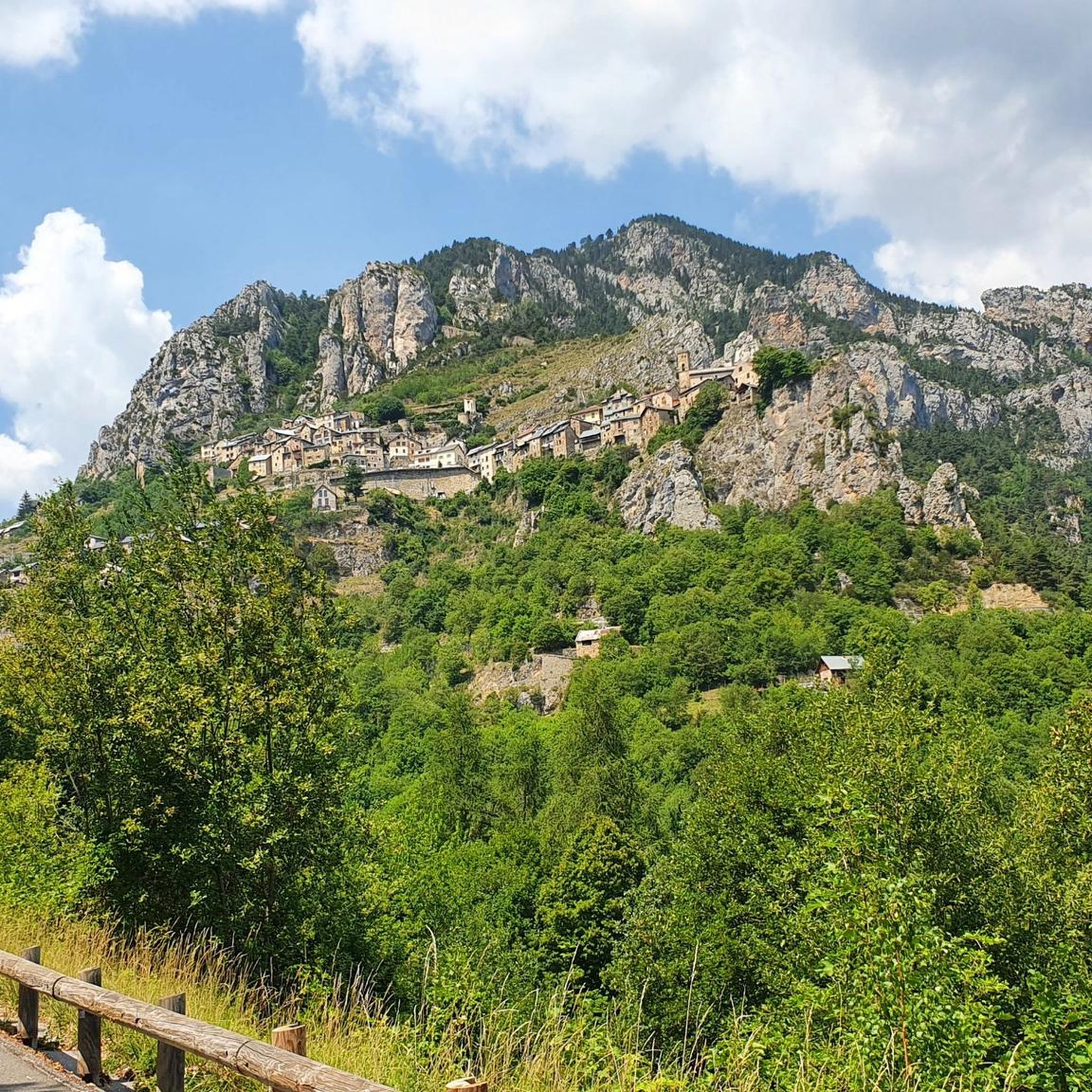
Best mountain passes around Roubion are located in the French Alps, connecting the Tinée and Vésubie valleys. This region is characterized by its mountainous terrain, featuring roads carved into rock faces and winding through pine forests and alpine meadows. Passes in this area often provide views of the surrounding valleys and peaks. The landscape includes steep mountains, forests, and high-altitude meadows.
Best mountain passes around Roubion
- The most popular mountain passes is Col du Raton, a mountain pass that…
Last updated: August 19, 2026
The start of Col Saint-Martin
Highlight (Segment) • Mountain Pass
Translated by Google •
Tip by

Col de la Couillole
Highlight • Mountain Pass
Translated by Google •
Tip by

Sign up now to discover places like this
Get recommendations on the best single tracks, peaks, & plenty of other exciting outdoor places.
Sign up for free
Ascent of Col de la Lombarde from Isola via Isola 2000
Highlight (Segment) • Mountain Pass
Translated by Google •
Tip by

Colle del Lausfer
Highlight • Mountain Pass
Translated by Google •
Tip by

Col du Raton
Highlight • Mountain Pass
Translated by Google •
Tip by

Sign up for free to discover even more mountain passes around Roubion.
Sign up for free
Already have an account?
Start today with a free account
Your next adventure awaits.
Login or Signup

Tips from the Community

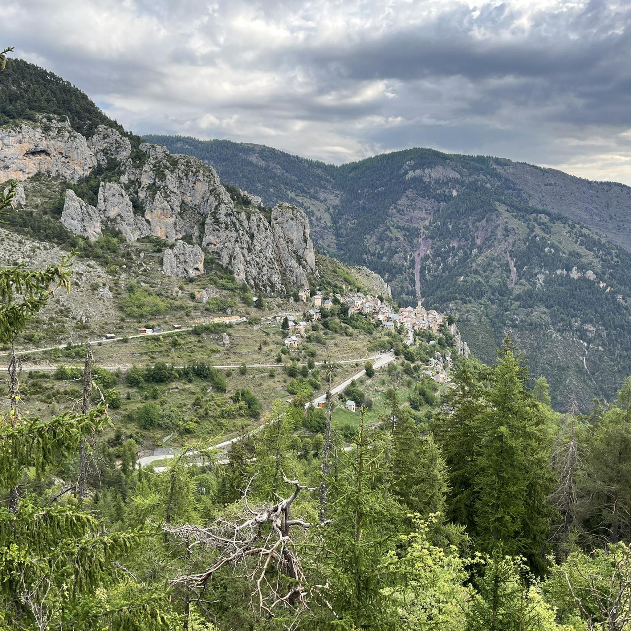
The Col de la Couillole is a mountain pass in the Massif du Mercantour-Argentera of the French Alps, situated at an altitude of 1,678 m (5,505 ft) in the Alpes-Maritimes department, France. The road connection is open for six to seven months of the year, allowing travel between the Cians gorges in the west and the Tinée valley in the east.
0
0
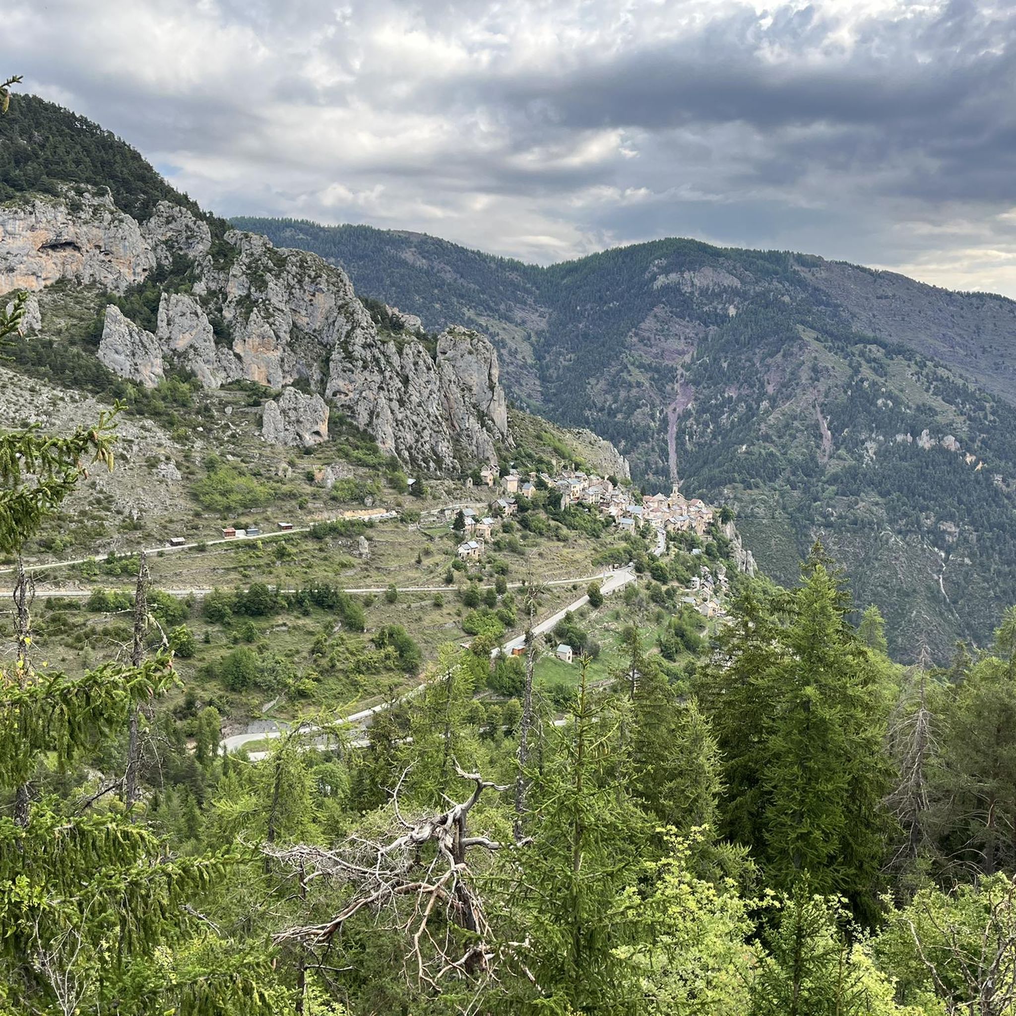
Col Saint Martin (el. 1500 m.) is a high mountain pass in the Alps in the department of Alpes-Maritimes in France.[1] It is traversed by the D-2205 highway.[2] The place has been crossed at the Tour de France road cycling race in 1973, 1975 and 2020, as well as at multiple editions of the Paris-Nice.
0
0

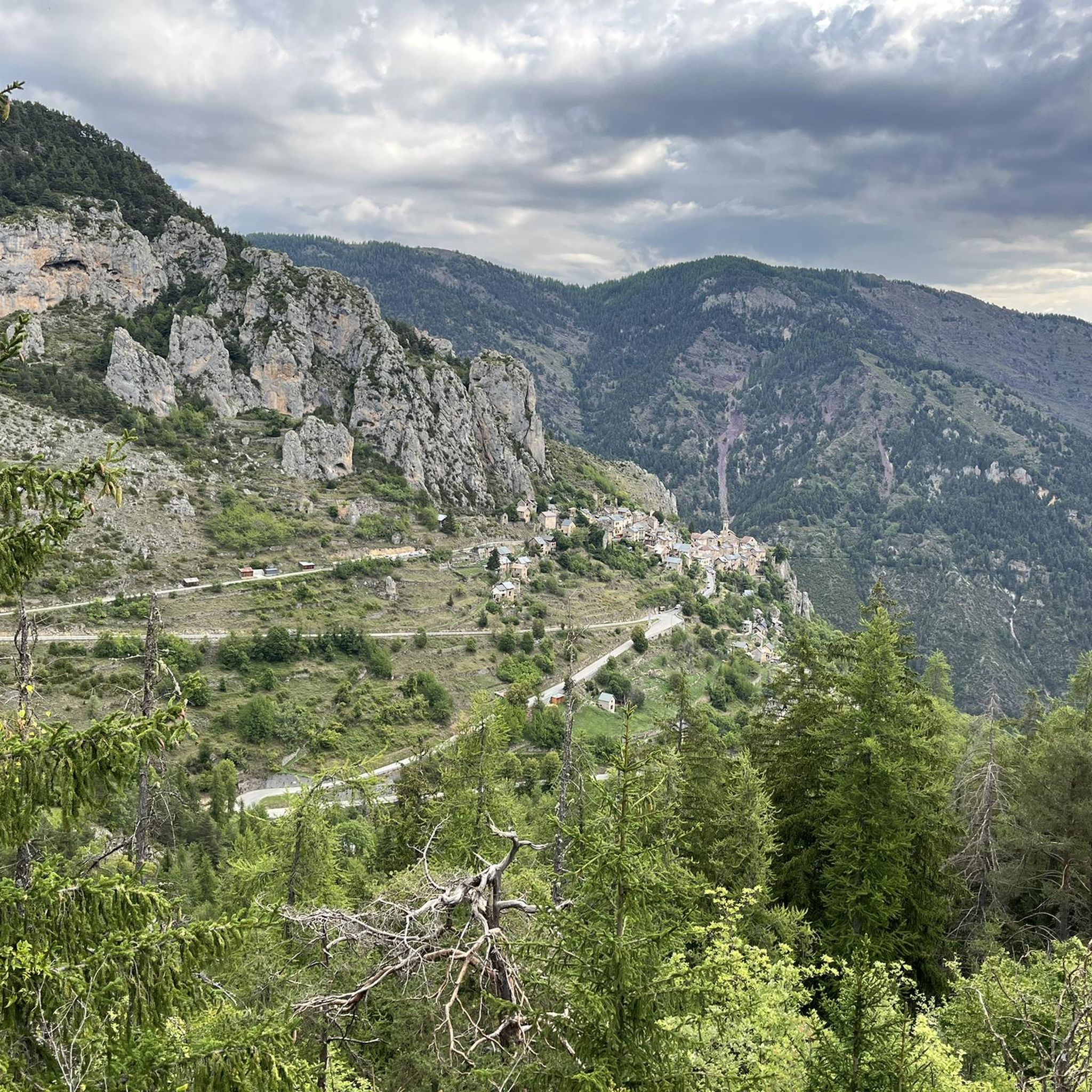
Nestled in the Southern Alps, the Col du Raton offers a wild and unspoiled route, perfect for mountain bike enthusiasts. Culminating at 1,686 meters, it crosses landscapes of steep mountains, pine forests and alpine meadows. The pass reveals breathtaking panoramas of the surrounding valleys, with a clear view of the neighboring peaks. The climb, although sporty, is rewarded by the raw beauty of nature.
1
0

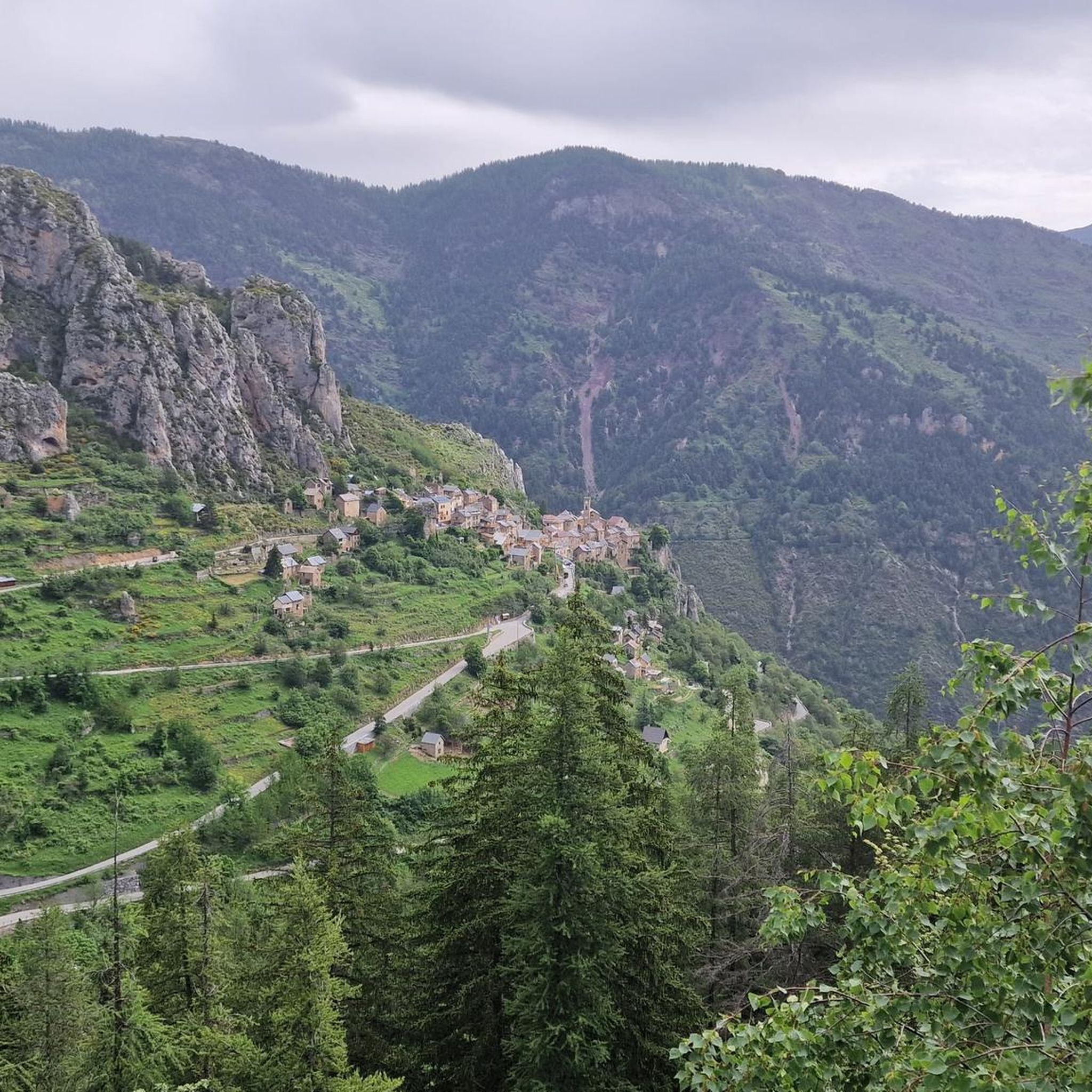
The western and French slope of the Col de la Lombarde is hard and long with 20 km and almost 1,500m of elevation gain. Until you reach the Isola 2000 ski resort, which is the main part of the climb, you travel along a road that goes up a very narrow valley. The first kms are the hardest, with an average of 9% and ramps above 10%. Afterwards, the slope softens and is very constant, with some rest sections. After the Isola 2000 station, we face the last 4 km where the slope increases to 8%, with several horseshoe curves and very beautiful views of the valley and the ski resort. A port that remembers the old mountain passes. A pleasure for the senses.
1
0

It is located on the Italian-French border, and can be reached by following the "Giro dei laghi di Sant'Anna". Clearly visible below on the French side, there are the three Varicles lakes, while on the Italian side we can see some abandoned fortifications
0
0

Collar on the Italy-France border, it passes through it on the route of the tour of the lakes
0
0

Perfect panorama in all directions and a lake worth seeing.
0
0

At 2,430 meters above sea level, the Col du Lausfer straddles the border between Italy and France. The pass is nestled surrounded by the magnificent Lausfer lakes and the mystical Lausfer peaks!
0
0
Frequently Asked Questions
What are some of the most scenic mountain passes around Roubion?
The region offers several passes with breathtaking views. For instance, Col du Raton provides panoramas of surrounding valleys and peaks amidst steep mountains, pine forests, and alpine meadows. Another notable pass is The start of Col Saint-Martin, where the road is boldly carved into the rock, offering deep views into the Tinée Valley.
Are there challenging mountain passes for experienced cyclists or hikers?
Yes, the area is known for its challenging climbs. The Col de la Couillole, for example, is a 16 km climb with 1,168 meters of elevation gain from Saint Sauveur sur Tinée, featuring an average gradient of 7.3% and maximums of 9.3%. Another demanding option is the Ascent of Col de la Lombarde from Isola via Isola 2000, which is 20 km long with almost 1,500m of elevation gain and gradients up to 12%.
What kind of wildlife can I expect to see around the mountain passes?
The wilder passes, such as the Ascent of Col de la Lombarde from Isola via Isola 2000, are known to attract many wildlife photographers in summer. The region's diverse landscapes of forests and alpine meadows provide habitats for various species, though specific sightings depend on the season and location.
What outdoor activities can I do near these mountain passes?
The Roubion area is excellent for various outdoor sports. You can find numerous hiking trails, including moderate loops like the 'Tour du Mont Brussière' or more difficult ones such as the 'Crousette Pass loop'. For mountain biking, there are challenging routes like the 'Col du Raton loop' or the 'Col de la Couillole – Roubion Village loop'. Cyclists can tackle difficult road routes like the 'Saint-Martin Pass loop' or the 'Col de la Lombarde loop'. You can explore more options in the Hiking around Roubion, MTB Trails around Roubion, and Cycling around Roubion guides.
Are there any facilities or cafes near the mountain passes?
While specific cafes directly at every pass are not guaranteed, some routes pass through or near villages. For example, the climb to Col de la Couillole from Saint Sauveur sur Tinée passes through the typical villages of Roure and Roubion, where you might find amenities like the Auberge du Moulin in Roubion.
What is the best time of year to visit the mountain passes around Roubion?
Many of the higher mountain passes in the French Alps, including those around Roubion, are typically open for six to seven months of the year, generally from late spring to early autumn. This period offers the most favorable weather conditions for cycling, hiking, and enjoying the scenic views. Winter conditions can make many passes inaccessible or suitable only for specialized winter activities.
What are the typical weather conditions in the Roubion mountain passes?
The region experiences mountainous weather, which can be variable. During the open season (late spring to early autumn), you can expect pleasant temperatures in the valleys, but conditions can change quickly at higher altitudes. Be prepared for cooler temperatures, potential wind, and sudden showers, even in summer. Always check the local forecast before heading out.
Are there any less-known or 'hidden gem' mountain passes worth exploring?
While popular passes offer stunning views, exploring lesser-known routes can reveal unique experiences. The Saboulé Pass, at 2,460 meters, is a border pass offering great views and is part of the 'Giro dei laghi di Sant'Anna', providing a more remote and rewarding experience for those seeking solitude and expansive vistas.
What do visitors appreciate most about the mountain passes in this region?
Visitors frequently highlight the stunning panoramas and the feeling of being immersed in wild, unspoiled nature. The roads carved into rock faces, deep views into valleys, and the transition through pine forests and alpine meadows are often mentioned. The challenging yet rewarding climbs, especially for cyclists, are also a significant draw, along with the opportunity to explore charming local villages.
Are there any easy or beginner-friendly mountain passes near Roubion?
While many passes in the region are known for their challenging gradients, the overall experience can vary. For those seeking a less strenuous experience, consider exploring the lower sections of passes or shorter, less steep routes. For hiking, there are easy loops around Roubion, such as the 'Roubion loop from Roubion', which are suitable for beginners and offer a taste of the local landscape without extreme elevation.
Can I find circular routes that include mountain passes?
Yes, many routes in the area are designed as loops, incorporating mountain passes. For example, mountain bikers can enjoy the 'Col du Raton – Raton loop from Beuil' or the 'Col de la Couillole – Roubion Village loop from Beuil'. Cyclists have options like the 'Saint-Martin Pass (La Colmiane) – Saint Dalmas loop from Saint-Sauveur-sur-Tinée'. These circular routes allow you to experience the passes and return to your starting point.
Most popular attractions around Roubion

Get inspired with the komoot mobile app


Explore more
See even more epic mountain passes by checking out these guides around Roubion:
