The best walks and hikes around Cornod
4.3
(438)
2,378
hikers
118
hikes
Hiking trails around Cornod traverse a landscape characterized by varied terrain, including wooded areas, river valleys, and moderate hills. The region features natural attractions such as waterfalls, caves, and scenic viewpoints. Routes often lead through forests and past historical sites, offering diverse experiences for hikers.
Best hiking trails around Cornod
- The most popular hiking route is Restaurant le Pont – Waterfalls and Potholes loop from Thoirette, a 9.1 miles (14.7 km) trail that takes 4 hours 15 minutes to…
Last updated: June 27, 2026
4.8
(12)
63
hikers
14.7km
04:15
360m
360m
Moderate hike. Good fitness required. Easily-accessible paths. Suitable for all skill levels.
4.4
(8)
61
hikers
6.51km
01:50
140m
140m
Easy hike. Great for any fitness level. Easily-accessible paths. Suitable for all skill levels.

Sign up for free
4.9
(9)
34
hikers
7.56km
02:23
300m
300m
Moderate hike. Good fitness required. Easily-accessible paths. Suitable for all skill levels.
4.9
(7)
25
hikers
6.30km
02:00
260m
260m
Easy hike. Great for any fitness level. Easily-accessible paths. Suitable for all skill levels.
5.0
(3)
7
hikers
Easy hike. Great for any fitness level. Easily-accessible paths. Suitable for all skill levels.
Get access to more routes and recommendations from other explorers.
Sign up for free
Already have an account?
Our route recommendations are based on thousands of hikes, rides, and runs completed by other people on komoot.
Start today with a free account
Your next adventure awaits.
Login or Signup

Tips from the Community

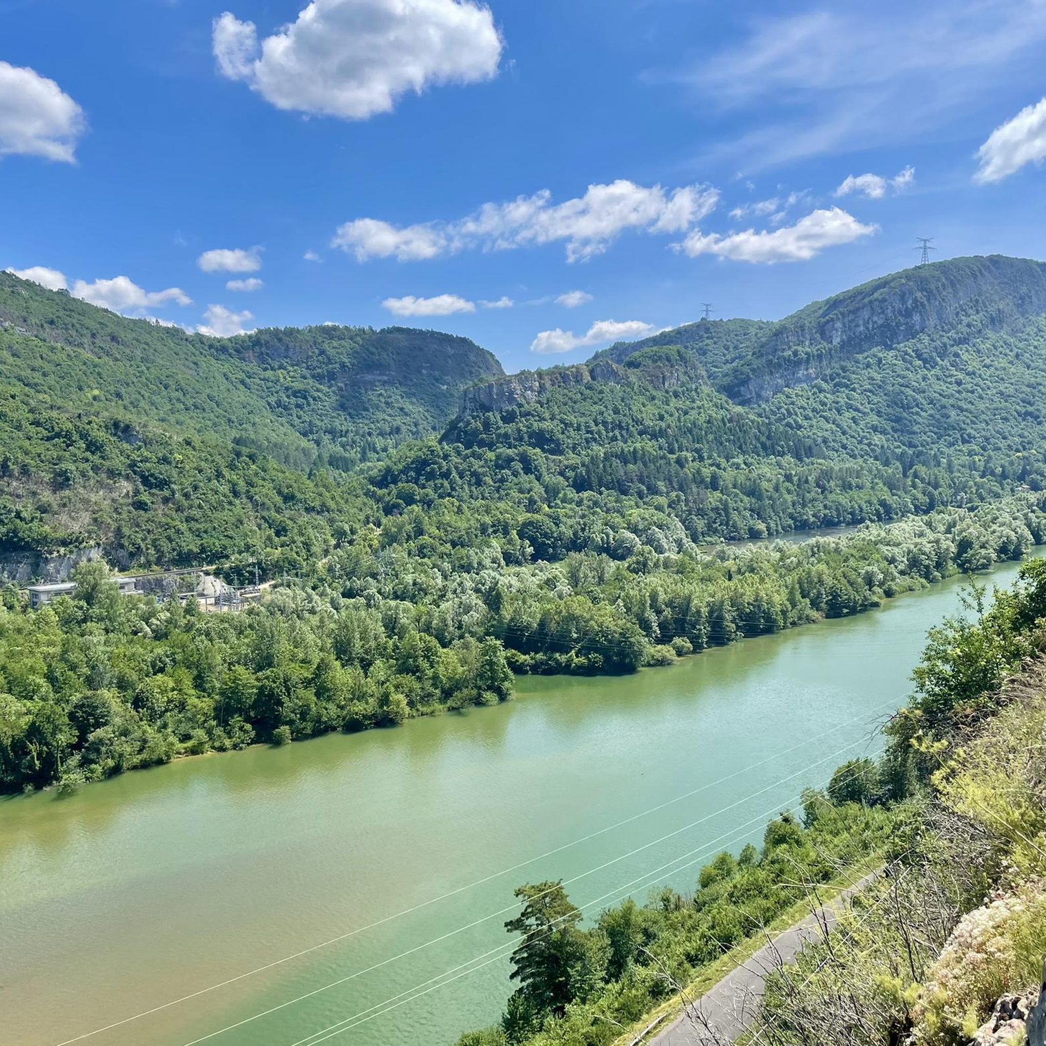
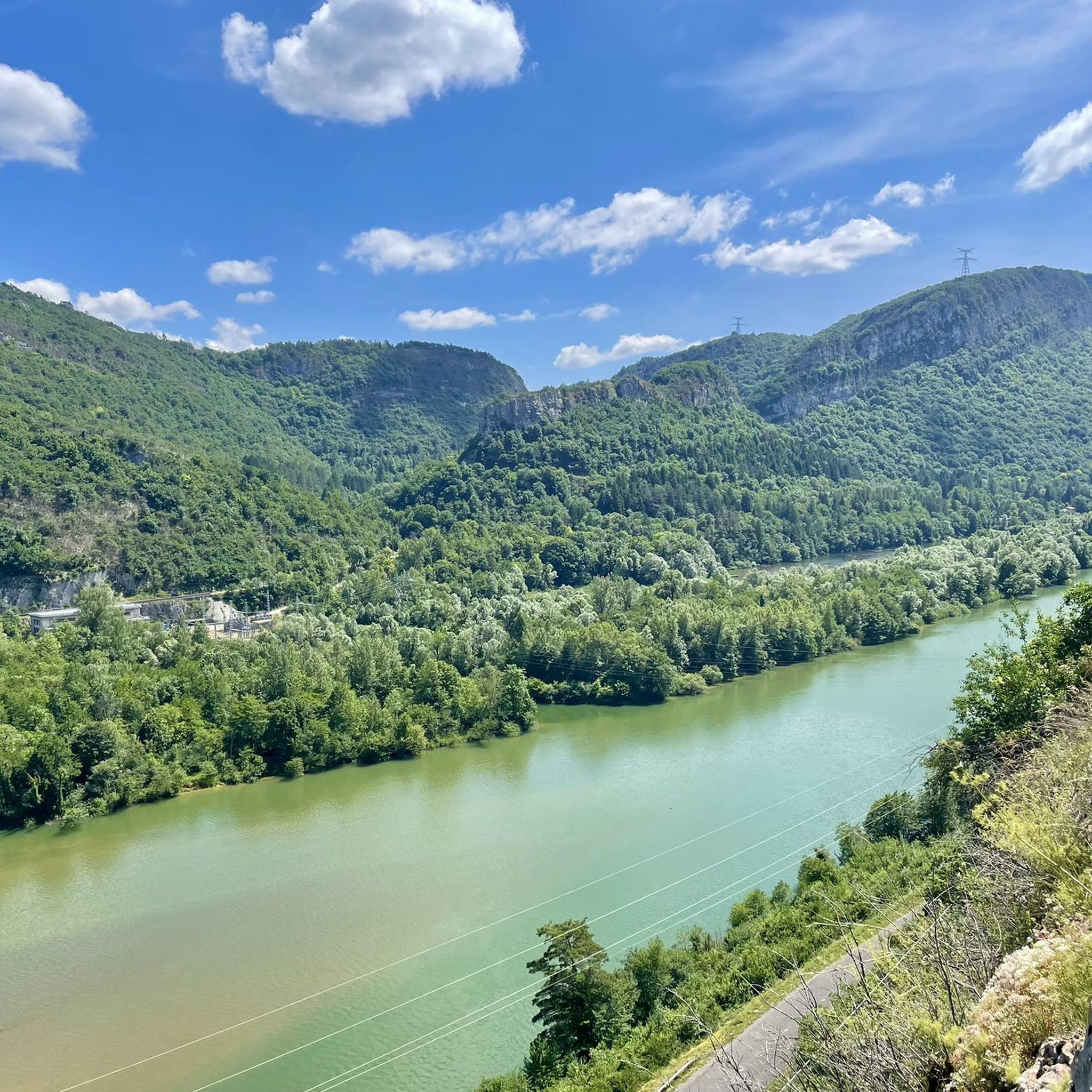
The bridge separates two departments, the Jura and the Ain. "Iron bridge. For several centuries, the Ain was crossed at Thoirette by means of a ferry, known as the bac de Christouphe, the name of the commune where the passenger resided. From 1808 to 1811, the riparian communes clubbed together to build a bridge in place of this ferry. The project had been drawn up by Mr. Cordier, of Orgelet, an engineer then in charge of the direction of the Simplon road works. Various obstacles opposed the execution of this work. It was only in 1829 that an iron bridge was built, which collapsed in 1843. The department of Ain has just replaced it with an iron bridge currently open to traffic". Statistique de la France - 1855 - Ministère de l'Agriculture par Imprimerie Impériale à Paris - p53.
0
0

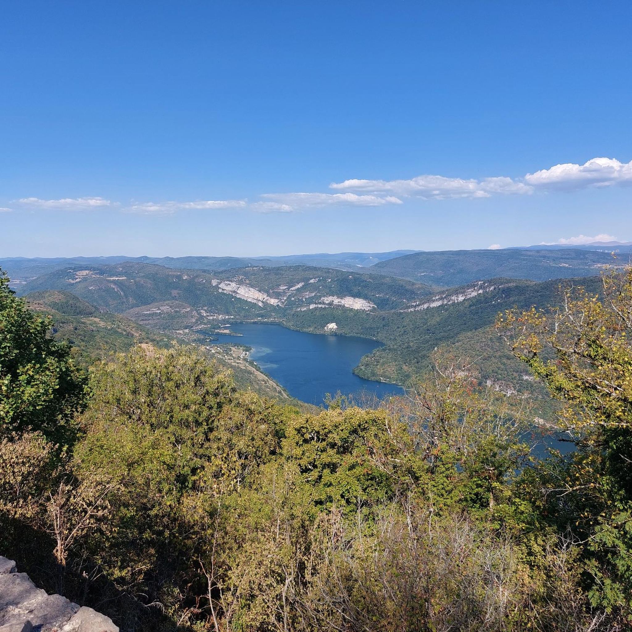
You think of a castle but only stones - but still a fantastic view
0
0
You think castle but only stones - But fantastic view
0
0

worth cycling past
0
0

There are a few shops right next to the bridge over the Ain and also in the town itself.
0
0

In addition to its view of Lake Coiselet, the Oliferne peak is distinguished by a strange sculpture which stands in the middle of the ruins, like a guardian watching over a castle.
0
0

From the ruins of Oliferne Castle, perched on a rocky spur in the Jura Mountains, you can enjoy breathtaking views of the Ain Valley and beyond. Once a medieval fortress, its ruined walls and towers now blend into the rugged landscape. Its strategic position allowed it to control access to the region, making it a must-see when hiking the Pic d'Oliferne.
1
0
Frequently Asked Questions
How many hiking trails are available around Cornod?
There are over 115 hiking trails around Cornod, offering a wide variety of experiences. These routes are highly rated by the komoot community, with an average score of 4.3 stars from over 390 reviews.
What are the different difficulty levels for hiking in Cornod?
The hiking trails in Cornod cater to various skill levels. You'll find approximately 41 easy routes, 65 moderate trails, and 9 more challenging options, ensuring there's something for everyone.
Are there any circular hiking routes in Cornod?
Yes, many trails in Cornod are designed as loops, allowing you to start and end at the same point. For example, the Restaurant le Pont – Waterfalls and Potholes loop from Thoirette is a popular moderate circular route that explores scenic natural features.
Are there trails with waterfalls near Cornod?
Absolutely! The region around Cornod is known for its natural attractions, including waterfalls. You can explore the Quinquenouille Waterfall or the Cascade de la Pisse Vache, both of which are highlights in the area.
What kind of natural attractions can I expect to see on hikes around Cornod?
Hikes around Cornod often lead to diverse natural monuments. You might encounter impressive caves like the Grotte de Corveissiat or the Ox Cave, as well as scenic viewpoints such as the Chancia Viewpoint, offering stunning vistas of the landscape.
Are there any historical landmarks or points of interest to explore?
Yes, the region offers several historical and cultural points of interest. You can visit the Oliferne Castle Ruins or the historic Church of Saint-Hymetière. The Ox Cave – Church of Saint-Hymetière loop from Vosbles-Valfin is an easy trail that passes by the church.
Are there family-friendly hiking options in Cornod?
Yes, Cornod offers several easy trails suitable for families. The Ox Cave – Church of Saint-Hymetière loop from Vosbles-Valfin is an easy 4.0-mile (6.5 km) path that is popular with local hikers and can be completed in about 1 hour 50 minutes.
Can I bring my dog on the hiking trails in Cornod?
Many trails in the Jura region are dog-friendly, but it's always recommended to check local signage or specific route details for any restrictions, especially in nature reserves or protected areas. Generally, dogs on a leash are welcome on most public footpaths.
Where can I find scenic viewpoints on hikes around Cornod?
For panoramic views, consider trails that lead to elevated points. The Memorial in Thoirette – View of Thoirette loop from Thoirette is a popular moderate route that specifically leads to a scenic viewpoint overlooking Thoirette.
How long do hikes around Cornod typically take?
Hike durations vary significantly based on distance and difficulty. Easy trails like the Ox Cave – Church of Saint-Hymetière loop can take under 2 hours, while moderate routes such as the Restaurant le Pont – Waterfalls and Potholes loop typically require around 4 hours and 15 minutes.
What is the best time of year to go hiking in Cornod?
The Jura region, where Cornod is located, is generally best for hiking from spring through autumn. Spring offers wildflowers and lush greenery, while autumn provides vibrant fall colors. Summer is also popular, but trails can be busier. Winter hiking is possible, but some routes may be challenging due to snow and ice.
Is there public transport access to hiking trailheads in Cornod?
While some larger towns in the Jura region have public transport connections, access directly to specific trailheads in smaller villages like Cornod can be limited. It's often advisable to use a car for flexibility, or research local bus services for connections to nearby towns and then plan your hike from there.
Are there easy hiking trails suitable for beginners?
Yes, Cornod has a good selection of easy trails perfect for beginners or those looking for a relaxed walk. For instance, the Oliferne Peak – Oliferne Castle Ruins loop is an easy 1.8-mile (2.9 km) route with minimal elevation gain, ideal for a gentle exploration.
Most popular attractions around Cornod

Get inspired with the komoot mobile app


Explore more
Browse the best Hikes in other regions.
