The 10 Most Amazing Peaks around Entraunes
Best mountain peaks around Entraunes are found within the Mercantour National Park, a region characterized by high-altitude lakes, Alpine meadows, and diverse wildlife. This area offers a variety of peaks and passes, providing opportunities for exploration and experiencing the natural landscape. Entraunes serves as a gateway to these unspoiled alpine environments. The geological features, such as black marls from Roche Grande, contribute to the distinctive scenery.
Best mountain peaks around Entraunes
- The most popular mountain peaks is Bonette Summit,…
Last updated: August 16, 2026
Bonette Summit
Highlight • Summit
Even if you are up there with the bike ...
Translated by Google •
Tip by

Ascent of the Cime de la Bonette from Jausiers
Highlight (Segment) • Mountain Pass
Translated by Google •
Tip by

Sign up now to discover places like this
Get recommendations on the best single tracks, peaks, & plenty of other exciting outdoor places.
Sign up for free
Camp des Fourches military camp
Highlight • Historical Site
Translated by Google •
Tip by

Summit of Lausson
Highlight • Summit
Translated by Google •
Tip by

View of Lake Allos from Mont Pelat
Highlight • Viewpoint
Translated by Google •
Tip by
Sign up for free to discover even more peaks around Entraunes.
Sign up for free
Already have an account?
Start today with a free account
Your next adventure awaits.
Login or Signup



Tips from the Community

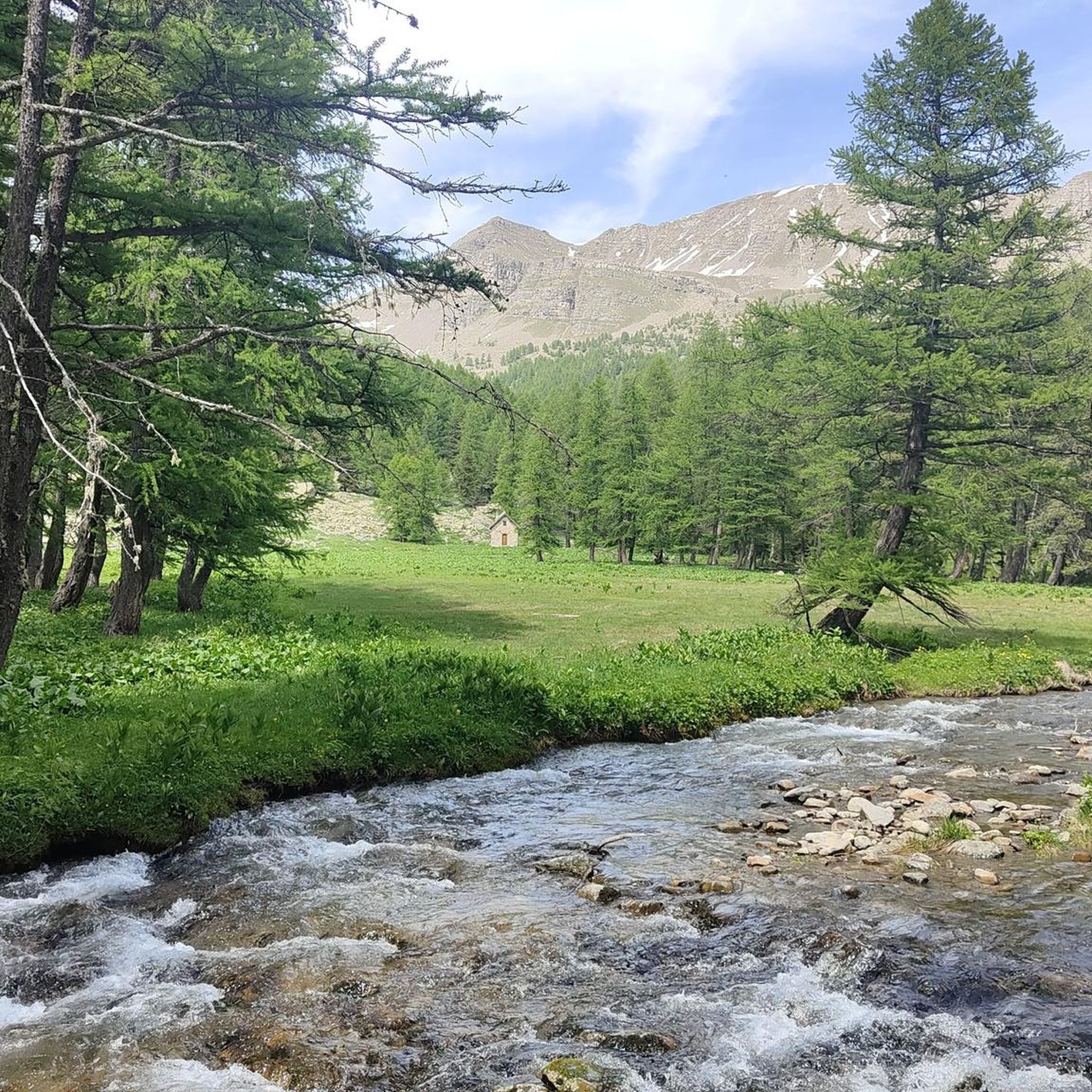
Mont Pelat (3051 m) is one of the most striking peaks in the French Mercantour massif. From the summit, an impressive panoramic view opens up over the Maritime Alps to the Mediterranean Sea. Popular ascent routes lead up from Lac d'Allos. Sure-footedness and good physical condition are required for this scenic mountain tour.
0
0

The ring road around the mountain comes into view once more at the end. Steep sections lead to the highest point, the Cime de la Bonette. Accessible in one direction only!
0
0

abandoned building without water
0
0

Intriguing ghost town which actually includes the barracks of a former military camp
0
0

Going up the Col de la Bonette on its southern side, just over 7 km from the top of the pass, and once you have passed the most spectacular section with several hairpin bends, you reach this ghost town. It is a military complex built in 1888 and used as an army operations barracks during World Wars I and II. It is very well preserved thanks to the reconstruction work carried out in 2016 and 2018. It is worth stopping to take a look.
0
0

Great (but tiring!) day hike from the Parking at Col de la Colette. Not to difficult...just long and with 1000 meters ascent and descent divided in 2 parts of 300hm and then another 700hm. The 360 views on top are breathtaking and worth it all!
2
0

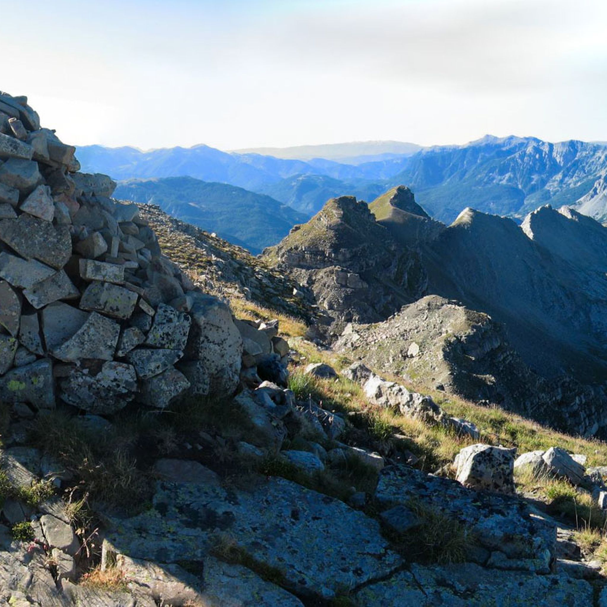
The easiest summit of over 3000m in the Eastern Alps. No technical difficulty and relatively little difference in altitude. To do at the beginning (June) or end (September-October) of the season to avoid the crowds.
1
1

Col de la Bonette (2715 meters above sea level) is a mountain pass in the French Alps, near the border with Italy. It is located in the Mercantour National Park on the border of the departments of Alpes-Maritimes and Alpes-de-Haute-Provence. The road over the col is the seventh highest paved road in the Alps.
0
0
Frequently Asked Questions
What are some of the most popular mountain peaks and passes to explore around Entraunes?
The region offers several notable peaks and passes. Among the most popular are Bonette Summit, known as the highest tarmac road in Europe and a challenge for cyclists, and Mont Pelat, which provides incredible views of Lake Allos and the surrounding massifs. The Summit of Lausson is also highly regarded for its beautiful vistas and frequent ibex sightings.
What kind of wildlife can I expect to see in the mountains around Entraunes?
The Mercantour National Park, which surrounds Entraunes, is rich in wildlife. You might spot chamois deer, ibexes, marmots, and royal eagles. The Summit of Lausson is particularly known for ibex sightings.
Are there any historical sites among the mountain peaks near Entraunes?
Yes, you can visit the Camp des Fourches military camp. This site was part of fortifications protecting the Ubaye valley and served as barracks for alpine hunters during the World Wars. Explanatory panels on-site recount its history and significance.
What is the best time of year to hike the mountain peaks around Entraunes?
The best time to visit is typically from June to October. For peaks like Mont Pelat, visiting at the beginning (June) or end (September-October) of the season can help avoid crowds and offer pleasant conditions. The region benefits from ample sunshine, making it enjoyable for outdoor activities.
Are there family-friendly hiking options in the Entraunes mountain region?
While many routes in the high mountains can be challenging, the hamlet of Estenc, located at 1,800m, serves as an ideal starting point for family walks. These trails often lead past old farms and chalets amidst hay meadows and larch groves, offering a gentler introduction to the alpine environment.
What are the typical difficulties of hiking trails in the Entraunes peaks area?
Hiking difficulties vary. Some routes, like those involving Col de la Petite Cayolle, are considered hard due to their length (e.g., 18.1km), significant elevation gain (e.g., 1,170m), and require good fitness, sure-footedness, sturdy shoes, and alpine experience. However, Mont Pelat is often described as one of the easier 3000m summits in the Eastern Alps, presenting no major technical difficulties.
What outdoor activities, besides hiking, can I do near the mountain peaks of Entraunes?
The region is a haven for various outdoor activities. You can find numerous routes for mountain biking and road cycling. In winter, the area transforms into a prime spot for cross-country skiing, ski touring, and snowshoeing, benefiting from ample sunshine. For more details on routes, check out the MTB Trails around Entraunes and Cycling around Entraunes guides.
Are there specific hiking routes that offer views of Lake Allos?
Yes, several routes provide stunning views of Lake Allos. The View of Lake Allos from Mont Pelat is a prime example, offering an incredible perspective of the lake. Additionally, the Pas du Lausson provides views of Lake Allos, and hiking loops from Entraunes involving Col de la Petite Cayolle also offer vistas of the lake.
What is special about Col de la Cayolle?
Col de la Cayolle, while a pass, offers a remarkable panorama and is particularly popular among cyclists due to its quiet roads. It's a crucial link between Nice and Barcelonnette via the prestigious Route des Grandes Alpes, featuring a consistent 7.2% average gradient over 11.5 km through larch and pine forests.
What kind of geological features can be observed in the Entraunes mountain landscape?
The region's distinctive scenery is partly shaped by its geology. For instance, the summit of Roche Grande contributes to the dramatic landscape, with black marls carried down from its slopes adding to the unique geological characteristics of the area.
Where can I find hiking trails near Entraunes?
Entraunes is a gateway to the Mercantour National Park, offering privileged access to unspoiled alpine landscapes with numerous hiking opportunities. You can find a variety of trails, from challenging loops like the 'Col de la Petite Cayolle – Little Cayolle Lake loop' to more moderate options. For a comprehensive list of routes, refer to the Hiking around Entraunes guide.
What do visitors particularly enjoy about the mountain peaks around Entraunes?
Visitors frequently praise the breathtaking 360-degree views from summits like Mont Pelat. The panoramic vistas from Bonette Summit and the opportunity to spot wildlife like ibex at the Summit of Lausson are also highly appreciated. The overall natural beauty, high-altitude lakes, and diverse landscapes are consistently highlighted by the komoot community.
Most popular attractions around Entraunes

Get inspired with the komoot mobile app


Explore more
See even more amazing summits around Entraunes with these guides:
