The best walks and hikes around Saccourvielle
4.4
(1604)
17,364
hikers
222
hikes
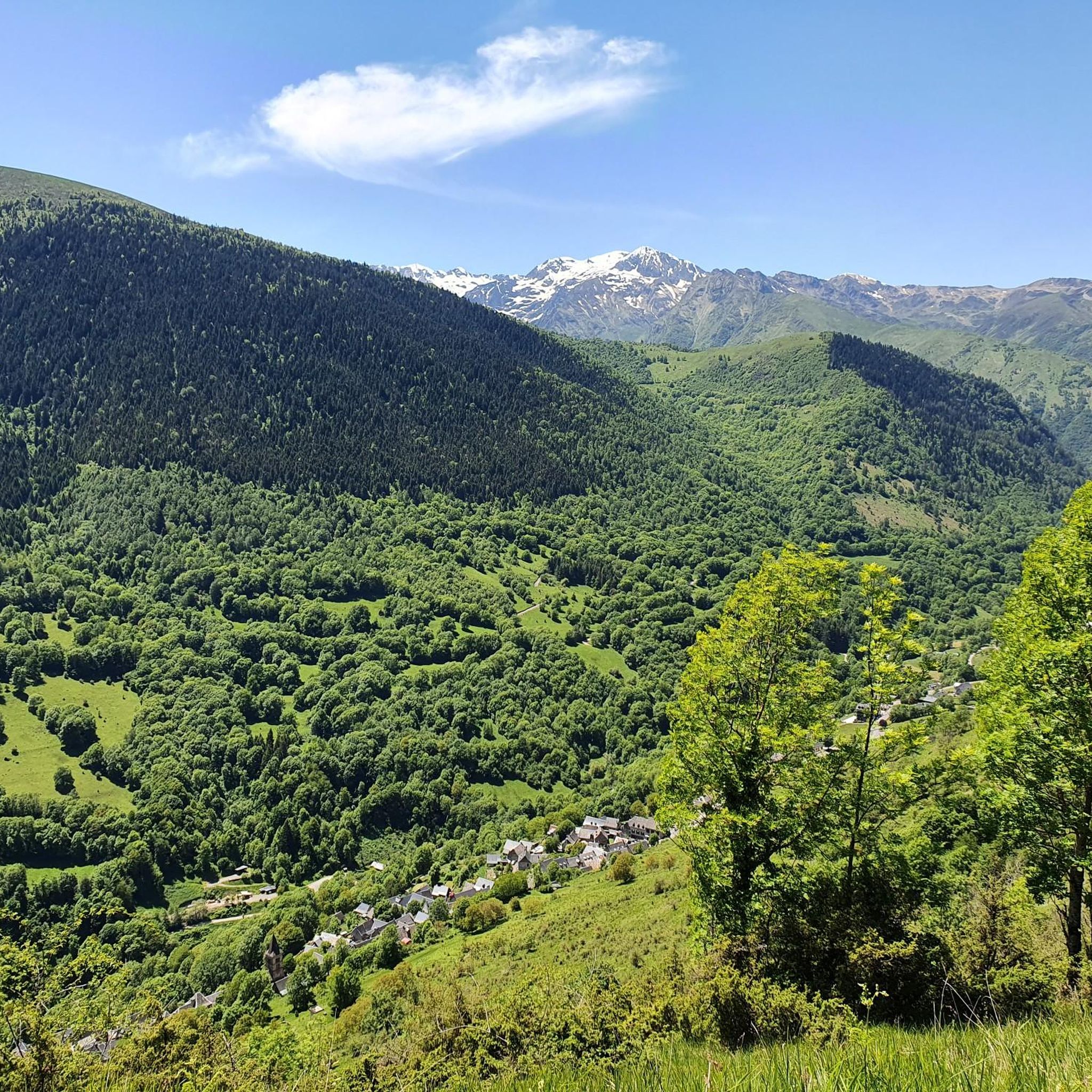
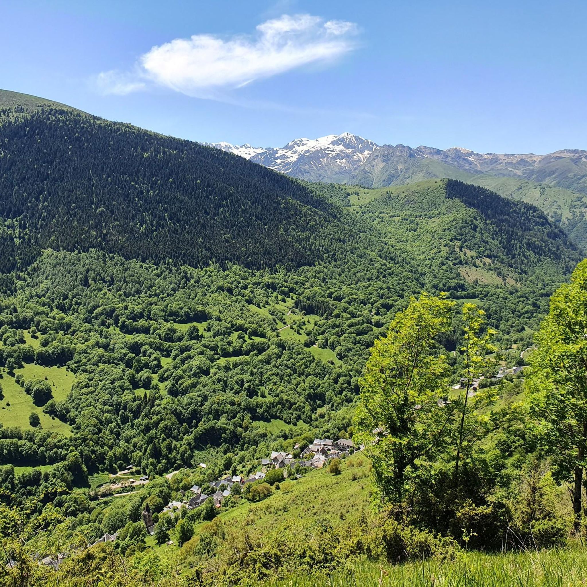
Hiking around Saccourvielle offers access to the Pyrenees foothills in the Haute-Garonne department of the Occitanie region. The area features a varied terrain with altitudes ranging from 833 meters to 1781 meters, shaped by the Neste d'Oueil river. Situated within the broader Comminges region, it provides diverse natural features for outdoor activities. The proximity to the Pyrenees Ariégeoises Regional Natural Park further enhances its appeal for exploring protected natural areas.
Best hiking trails around Saccourvielle
- The most popular hiking route…
Last updated: August 28, 2026
4.4
(18)
116
hikers
8.17km
02:40
350m
350m
Moderate hike. Good fitness required. Mostly accessible paths. Sure-footedness required.
4.7
(7)
38
hikers
14.8km
04:10
270m
270m
Moderate hike. Good fitness required. Mostly accessible paths. Sure-footedness required.

Sign up for free
4.3
(26)
108
hikers
Moderate hike. Good fitness required. Mostly accessible paths. Sure-footedness required.
4.8
(12)
118
hikers
Moderate hike. Good fitness required. Easily-accessible paths. Suitable for all skill levels.
2.5
(2)
78
hikers
Easy hike. Great for any fitness level. Easily-accessible paths. Suitable for all skill levels.
Get access to more routes and recommendations from other explorers.
Sign up for free
Already have an account?
Our route recommendations are based on thousands of hikes, rides, and runs completed by other people on komoot.
Start today with a free account
Your next adventure awaits.
Login or Signup



Tips from the Community

Very beautiful footbridge, not very long but very high and impressive
0
0

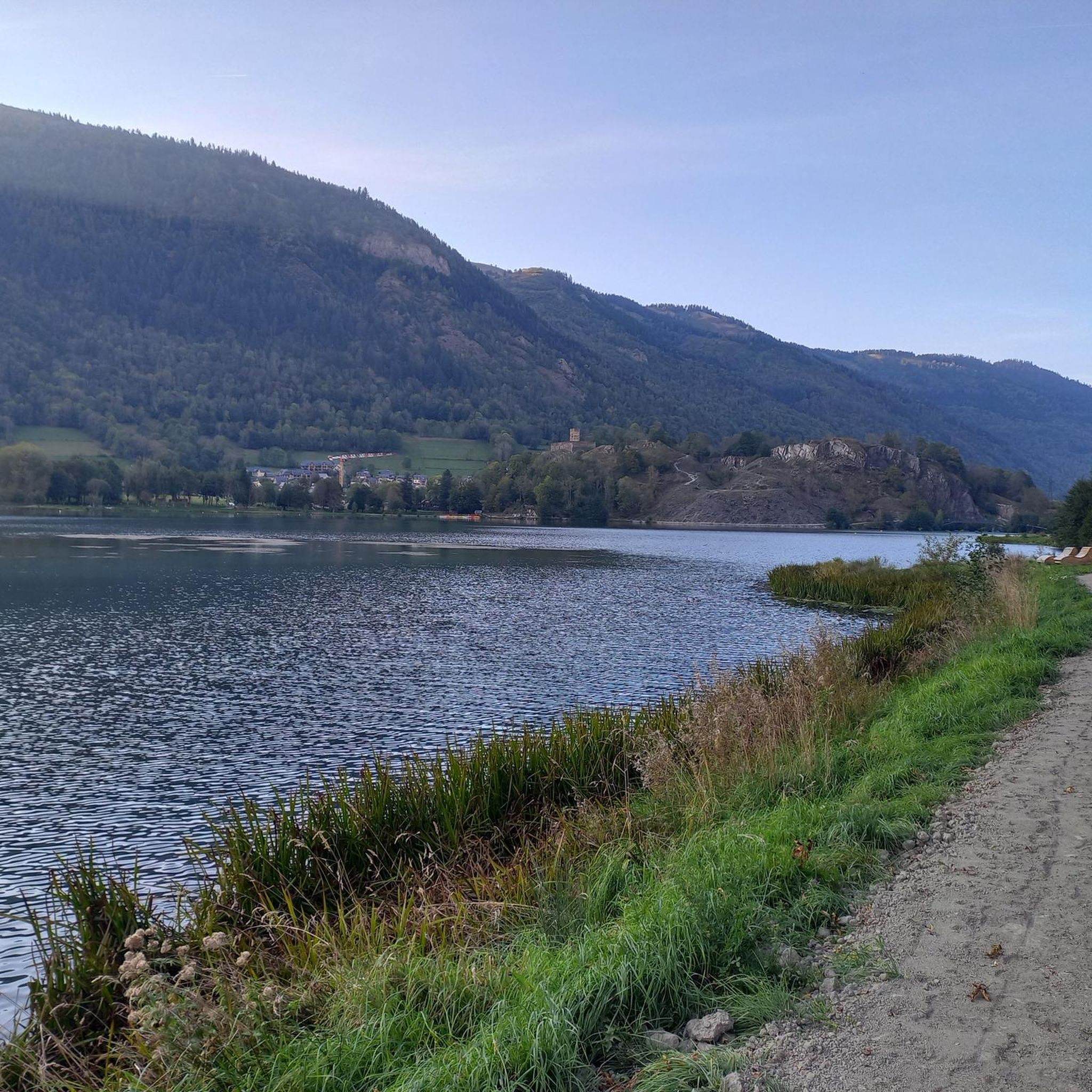
Magnificent place 5' from Bagneres de Luchon for walking, strolling or cycling with the little ones. There is a bar and a swimming area.
0
0

A very pretty, very pleasant town, with all kinds of shops and restaurants, ideal for organizing a stage of several days to discover this part of the French Pyrenees.
0
0

And it was already a stage destination on the tour
0
0

This pretty waterfall is located on the heights of Juzet-de-Luchon. Its long, so-called ponytail waterfall is worth taking the small path that leads to it.
0
0

Cute to discover when visiting Luchon!
0
0

Inaugurated in 2017, the footbridge was built to replace the one destroyed by the 2013 floods. 35 meters long, it spans the course of the Pique at the gates of Luchon.
1
0

Nice place to watch the planes take off and land
0
0
Frequently Asked Questions
How many hiking trails are available around Saccourvielle?
Saccourvielle offers a wide variety of hiking opportunities, with over 200 routes available. These include 50 easy trails, 117 moderate paths, and 46 more challenging routes, catering to all skill levels.
What kind of terrain can I expect on hikes near Saccourvielle?
The terrain around Saccourvielle is diverse, ranging from Pyrenean foothills and river valleys to more dramatic mountainous landscapes. You'll find well-marked paths, but also more challenging, unblazed routes with altitudes varying from 833 meters to 1781 meters. Expect varied elevation and stunning panoramic views of the Pyrenean massifs.
Are there any family-friendly hiking options in Saccourvielle?
Yes, Saccourvielle offers several routes suitable for families. While specific 'family-friendly' routes aren't explicitly detailed, many of the easy and moderate trails, particularly those exploring river valleys and local villages, can be enjoyed by families. The region's diverse landscape means you can find paths that are less strenuous and offer picturesque scenery without significant climbs.
Can I bring my dog on the hiking trails around Saccourvielle?
Generally, dogs are welcome on many hiking trails in the Pyrenees, but it's always best to check local regulations for specific areas, especially within protected natural parks or near grazing livestock. Always keep your dog under control, preferably on a leash, and clean up after them to preserve the natural environment for everyone.
What are some notable natural features or landmarks to look out for on hikes?
The region is rich in natural beauty and historical sites. You can discover picturesque waterfalls like the Juzet-de-Luchon Waterfall, or explore ancient stone circles known as cromlechs near the Croix de Garin. Mountain passes like the Col de Peyresourde and Port de Balès offer iconic views, while the Saunères Hut provides a typical Pyrenean mountain cabin experience. Don't miss the stunning vistas from peaks like the Superbagnères Summit or Pic du Mont-Né.
Are there any circular hiking routes available?
Yes, several popular routes around Saccourvielle are circular. For example, the Hike of the balconies of Sode - loop starting from Bagnères-de-Luchon is a moderate 8.2 km trail. Another option is the Mail de Soupène Trail – Mail de Soupène loop from Benque-Dessous-et-Dessus, a 6.4 km route through mountain foothills.
What do other hikers enjoy most about hiking in Saccourvielle?
The hiking trails around Saccourvielle are highly rated by the komoot community, with an average score of 4.4 stars from over 1,200 reviews. Hikers frequently praise the diverse terrain, from river valleys to mountain foothills, and the stunning panoramic views of the Pyrenean massifs. The variety of routes, catering to different ability levels, is also a significant draw.
What is the best time of year to go hiking in Saccourvielle?
The best time for hiking in Saccourvielle is typically from late spring to early autumn (May to October) when the weather is milder and trails are generally clear of snow. During these months, you can fully enjoy the diverse landscapes and natural features. Winter hiking is possible but requires appropriate gear and experience due to snow and colder conditions at higher elevations.
Are there any waterfalls I can visit on a hike?
Absolutely! The region is home to beautiful water features. A popular destination is the Juzet-de-Luchon Waterfall, known for its picturesque 'ponytail' cascade. You can reach it via the Bagnères-de-Luchon – Juzet-de-Luchon Waterfall loop from Luchon, a moderate 14.6 km hike.
Is there public transport available to reach hiking starting points?
While Saccourvielle itself is a small village, its proximity to Bagnères-de-Luchon means you can often find public transport options to nearby towns. From Bagnères-de-Luchon, local bus services might connect to some trailheads or villages from which hikes begin. However, for many routes, especially those deeper in the mountains, personal transport or carpooling is often the most convenient option.
Where can I find parking for hiking trails in Saccourvielle?
Many popular trailheads, especially those starting from larger villages or towns like Bagnères-de-Luchon or Benque-Dessous-et-Dessus, will have designated parking areas. For example, routes like the Hike of the balconies of Sode or the Péquerin Footbridge – Bagnères-de-Luchon loop typically start from locations with accessible parking. It's advisable to check specific route details for parking information before you go.
Most popular routes around Saccourvielle
Most popular attractions around Saccourvielle

Get inspired with the komoot mobile app


Explore more
Browse the best Hikes in other regions.
