The best MTB trails around Saccourvielle
4.1
(83)
673
riders
54
rides
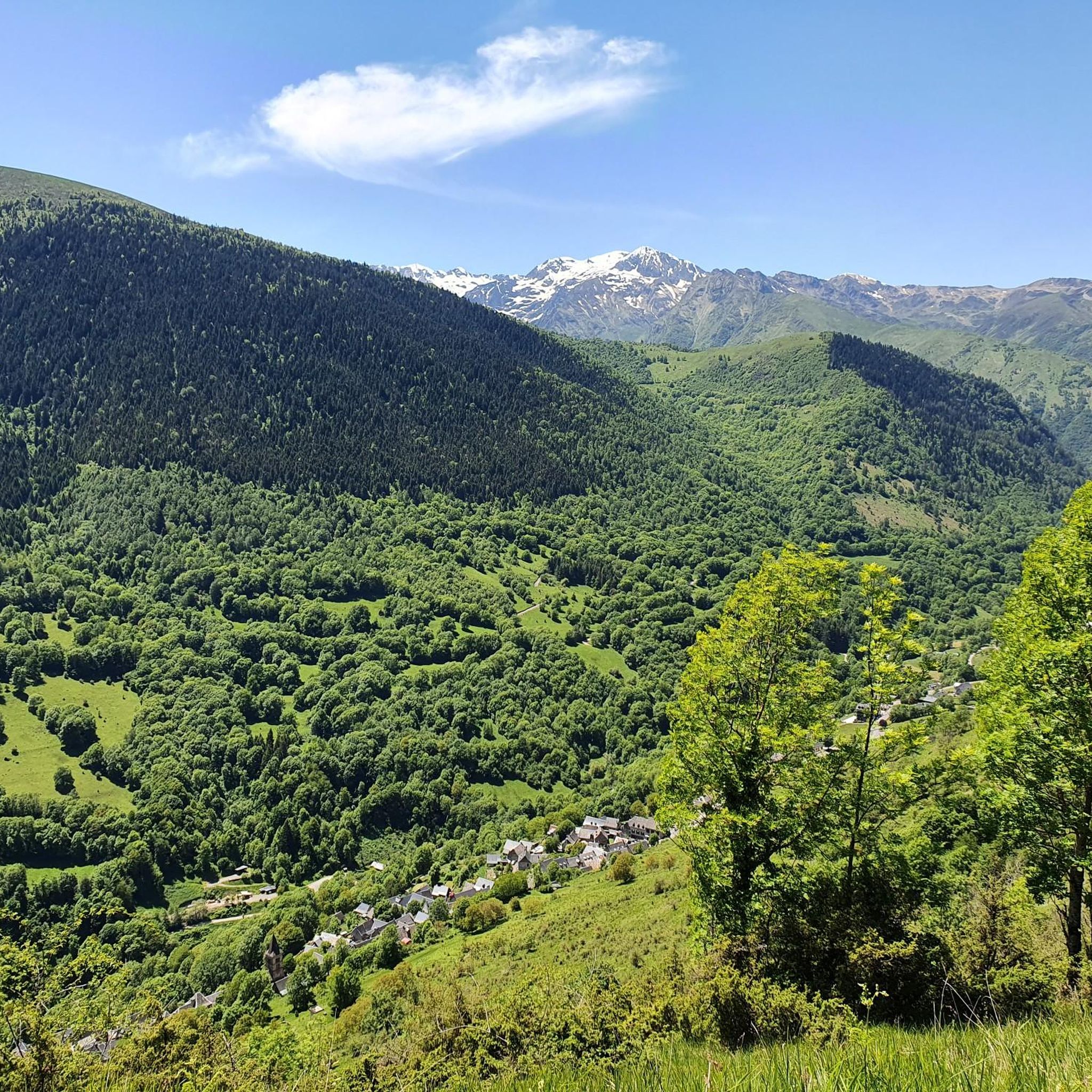
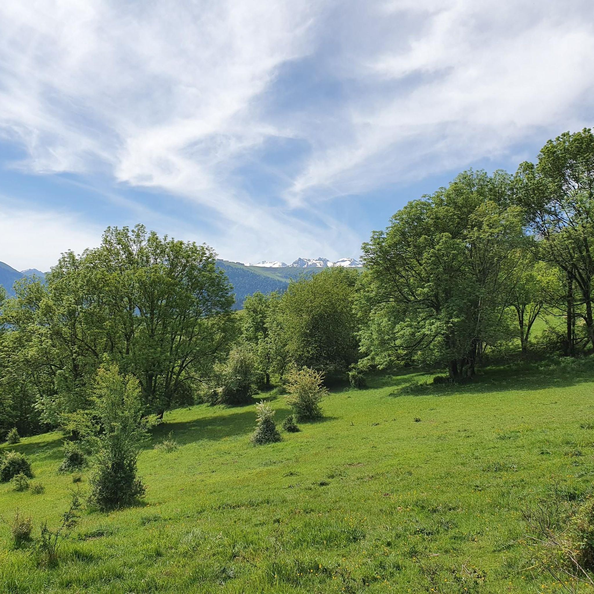
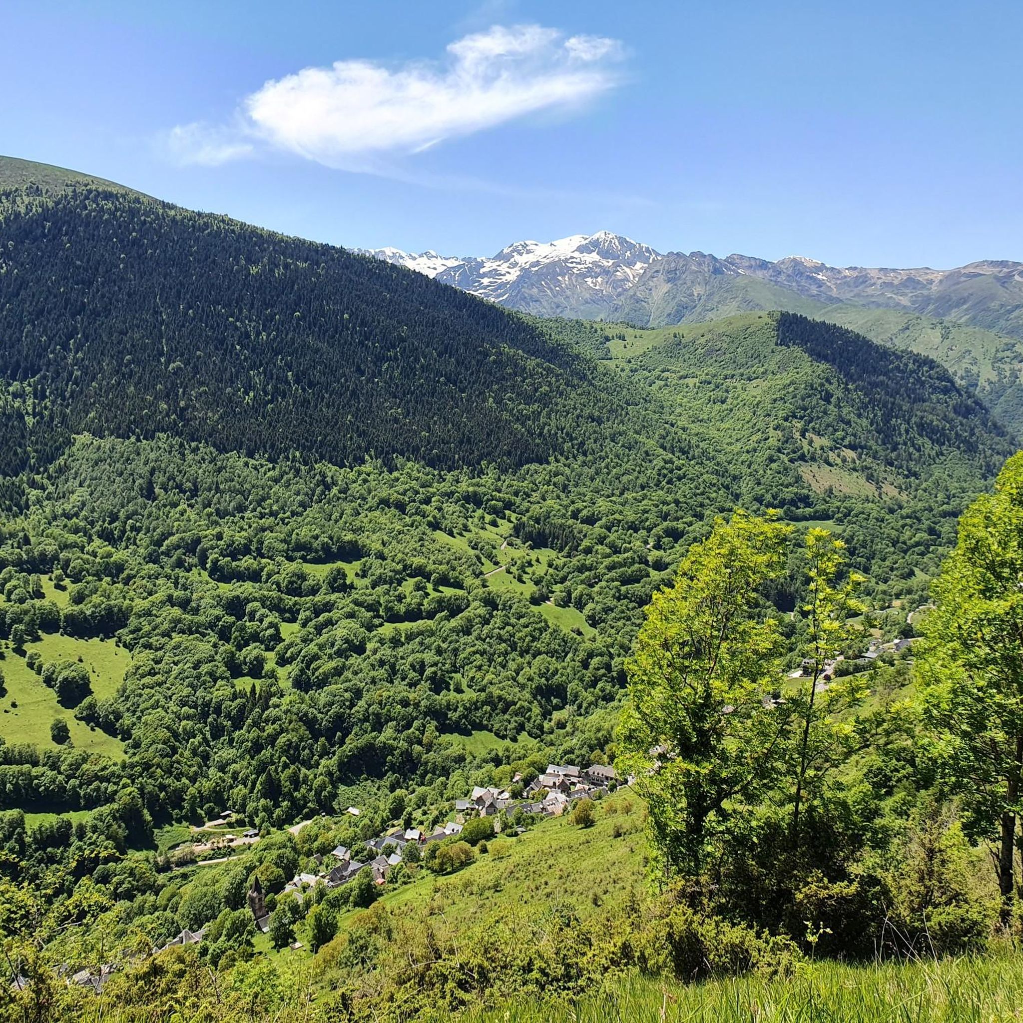
Mountain biking around Saccourvielle offers diverse terrain within the French Pyrenees, characterized by mountainous landscapes with altitudes ranging from 833m to 1781m. The region features challenging ascents over iconic passes, dense forest sections, and descents through varied valleys. Riders can expect a mix of singletrack and wider paths, often along mountain crests, providing extensive views of the surrounding Pyrenean massifs.
Best mountain bike trails around Saccourvielle
- The most popular mountain bike trail is View of the Luchon Heights – Artigue…
Last updated: August 27, 2026
4.8
(17)
81
riders
40.2km
03:40
1,150m
1,150m
Hard mountain bike ride. Very good fitness required. Suitable for all skill levels.
4.3
(6)
40
riders
38.3km
04:01
1,240m
1,240m
Hard mountain bike ride. Very good fitness required. Advanced riding skills necessary.

Sign up for free
4.8
(5)
29
riders
27.0km
02:32
820m
820m
Moderate mountain bike ride. Good fitness required. Suitable for all skill levels.
4.6
(5)
32
riders
35.3km
04:38
1,770m
1,770m
Hard mountain bike ride. Very good fitness required. Advanced riding skills necessary. Some portions of the route may require you to push your bike.
5.0
(3)
36
riders
42.0km
03:34
1,210m
1,210m
Hard mountain bike ride. Very good fitness required. Suitable for all skill levels.
Get access to more routes and recommendations from other explorers.
Sign up for free
Already have an account?
Our route recommendations are based on thousands of hikes, rides, and runs completed by other people on komoot.
Start today with a free account
Your next adventure awaits.
Login or Signup



Tips from the Community


I would just like to remember that Alejandro Valverde was the first rider at the top of this pass when the Tour crossed it for the first time in 2012, subsequently winning the stage that ended in Peryagudes.
0
0
A very pretty, very pleasant town, with all kinds of shops and restaurants, ideal for organizing a stage of several days to discover this part of the French Pyrenees.
0
0
Port de Balès is one of the great colossi of the Pyrenees, discovered for professional cycling in the 2012 Tour, crowned by Alejandro Valverde for the first time. The two times I have climbed it it has been on its northern slope, the longest and hardest, although the southern slope is also very hard. The northern slope begins with a very nice road that runs next to the river and goes up it at a very gentle rate. Starting from a bridge, where you leave the river on the left, the hard 11 km stretch to the top begins, although it is true that there are 2 stretches where the slope softens and allows you to take a break. The last 5 km have spectacular views of the valley and the surrounding peaks. At the top, the panoramic view of the Pyrenees is incredible.
0
0

And it was already a stage destination on the tour
0
0

A nice place to stop off after the hike. The car park is generously dimensioned, since the Lac d'Oô and the Lac d'Espingo are popular hiking destinations, you should still come early to get a parking space.
0
0

There’s a drinking water fountain outside the pizzaria on the Main Street (Avenue D’Etigny)
1
0

The port of Balès rises to an altitude of 1,755 meters. The climb from Mauléon-Barousse is 18.9 kilometers long with an average gradient of 6.3%, including some sections at over 14%.
1
0
Frequently Asked Questions
How many mountain bike trails are available around Saccourvielle?
There are over 60 mountain bike routes around Saccourvielle, offering a wide range of experiences. These include 2 easy trails, 25 moderate trails, and 33 difficult trails, catering to various skill levels.
What kind of terrain can I expect on mountain bike trails in Saccourvielle?
Mountain biking around Saccourvielle features diverse terrain within the French Pyrenees, characterized by mountainous landscapes with altitudes ranging from 833m to 1781m. You can expect challenging ascents over iconic passes like the Col de Peyresourde, dense forest sections, and descents through varied valleys. Trails often include a mix of singletrack and wider paths, frequently along mountain crests, providing extensive views of the surrounding Pyrenean massifs.
Are there any family-friendly mountain bike trails in Saccourvielle?
While many trails in Saccourvielle are rated moderate to difficult, there are 2 easy mountain bike routes available. These are generally more suitable for families or those seeking a less strenuous ride. For a wider range of family-friendly options, the nearby Louron Bike & Trail center offers initiation areas designed for beginners.
Are there any mountain bike trails that offer stunning viewpoints or panoramic vistas?
Yes, many trails around Saccourvielle offer breathtaking views. Routes often traverse mountain crests and passes like the Col de Peyresourde and Col d'Azet, providing panoramic views of the central Pyrenees and various valleys. For example, the View of the Luchon Heights – Artigue loop from Luchon is known for its panoramic views, and the Bagnères-de-Luchon – Grand Hotel of Superbagnères loop from Luchon offers views from the Superbagnères Summit (1804 m).
What are some notable natural features or landmarks I might encounter on the trails?
The region is rich in natural beauty. You might encounter iconic mountain passes such as the Col de Peyresourde and Col d'Azet. Trails often wind through dense forests and along mountain crests. While not directly on MTB trails, the nearby Lac d'Oô features an impressive 275-meter waterfall, and the Montagne d'Espiau has ancient stone alignments (cromlechs). You can also explore various mountain peaks like the Superbagnères Summit (1804 m).
Are there any circular mountain bike routes available?
Yes, many of the mountain bike routes around Saccourvielle are designed as loops. Examples include the Beautiful View loop from Luchon, which offers sustained climbs and descents through varied Pyrenean scenery, and the View of the Pyrenees Valley – View of the Luchon Heights loop from Luchon.
What is the best time of year to go mountain biking in Saccourvielle?
The Pyrenean region around Saccourvielle is best for mountain biking during the warmer months, typically from late spring through early autumn. This period offers more stable weather conditions, clear trails, and access to higher altitude routes that might be snow-covered in winter. Always check local weather forecasts before heading out.
What do other mountain bikers say about the trails in Saccourvielle?
The mountain bike trails around Saccourvielle are highly rated by the komoot community, with an average score of 4.1 stars from over 90 reviews. Nearly 1000 mountain bikers have used komoot to explore the varied terrain, often praising the challenging ascents, panoramic views, and diverse Pyrenean scenery.
Are there any huts or refuges along the mountain bike routes for breaks or overnight stays?
Yes, there are several huts and refuges in the vicinity that can serve as points for breaks or even overnight stays, depending on your route and planning. Some options include The Granges of Astau, Saunères Hut, and Mont Ne Refuge. For a comprehensive list, you can check the Huts and Cabins around Saccourvielle guide.
Are there any particularly challenging mountain bike routes for experienced riders?
Absolutely. Saccourvielle offers 33 difficult mountain bike trails, many featuring significant elevation changes and technical sections. For example, the Bagnères-de-Luchon – Port de Balès loop from Luchon is a demanding 41.7 km route with over 1200 meters of elevation gain, ideal for experienced riders seeking a challenge.
Is there parking available near the mountain bike trailheads?
While specific parking details for every trailhead are not provided, the nearby town of Bagnères-de-Luchon, often a starting point for many routes, offers various parking options. It's advisable to check local parking availability for your chosen starting point, especially during peak season.
Most popular routes around Saccourvielle
Most popular attractions around Saccourvielle

Get inspired with the komoot mobile app


Explore more
Browse the best MTB trails in other regions.
