The best walks and hikes around Garin
4.4
(2221)
24,326
hikers
13
hikes
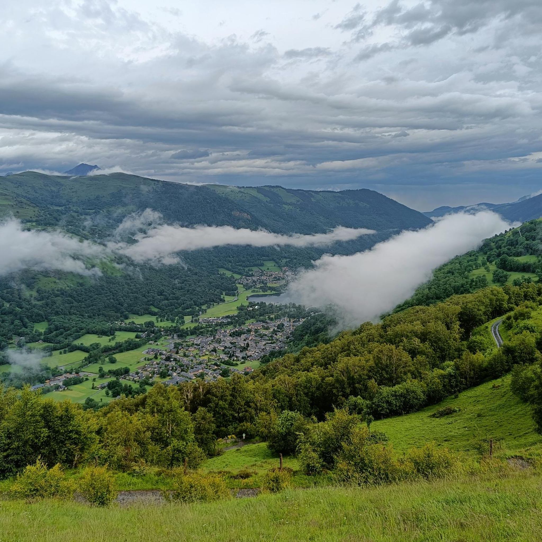
Hiking around Garin offers a variety of trails through mountainous terrain, characterized by passes, prominent peaks, and valleys. The region features routes that traverse significant elevation changes, providing views of the surrounding landscapes. Hikers can explore a network of paths that include challenging ascents to peaks and more moderate loops around passes.
Best hiking trails in Garin
- The most popular hiking route is Peyresourde Pass – Lion Peak loop from Col de Peyresourde, a 9.4 miles (15.2 km) trail…
Last updated: October 21, 2026
4.6
(5)
41
hikers
15.1km
05:07
760m
760m
Hard hike. Very good fitness required. Easily walkable paths.
4.5
(2)
15
hikers
6.98km
02:10
260m
260m
Moderate hike. Good fitness required. Easily walkable paths.

4.5
(4)
48
hikers
5.38km
01:48
260m
260m
Easy hike. Easily walkable paths.
4.5
(4)
19
hikers
5.94km
01:41
130m
140m
Easy hike. Easily walkable paths.
5.0
(1)
6
hikers
4.59km
01:18
100m
100m
Easy hike. Easily walkable paths.
Get access to more routes and recommendations from other explorers.
Already have an account?
Our route recommendations are based on thousands of hikes, rides, and runs completed by other people on komoot.
Start today with a free account
Your next adventure awaits.




Tips from the Community

Great hike to do in winter with snowshoes/crampons. Great view 😍
0
0

Very beautiful 18th century houses. Splendid stone walls.
0
0

A nice reward awaits you with delicious pancakes...
1
0

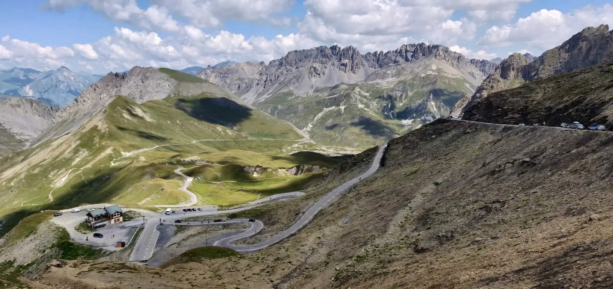
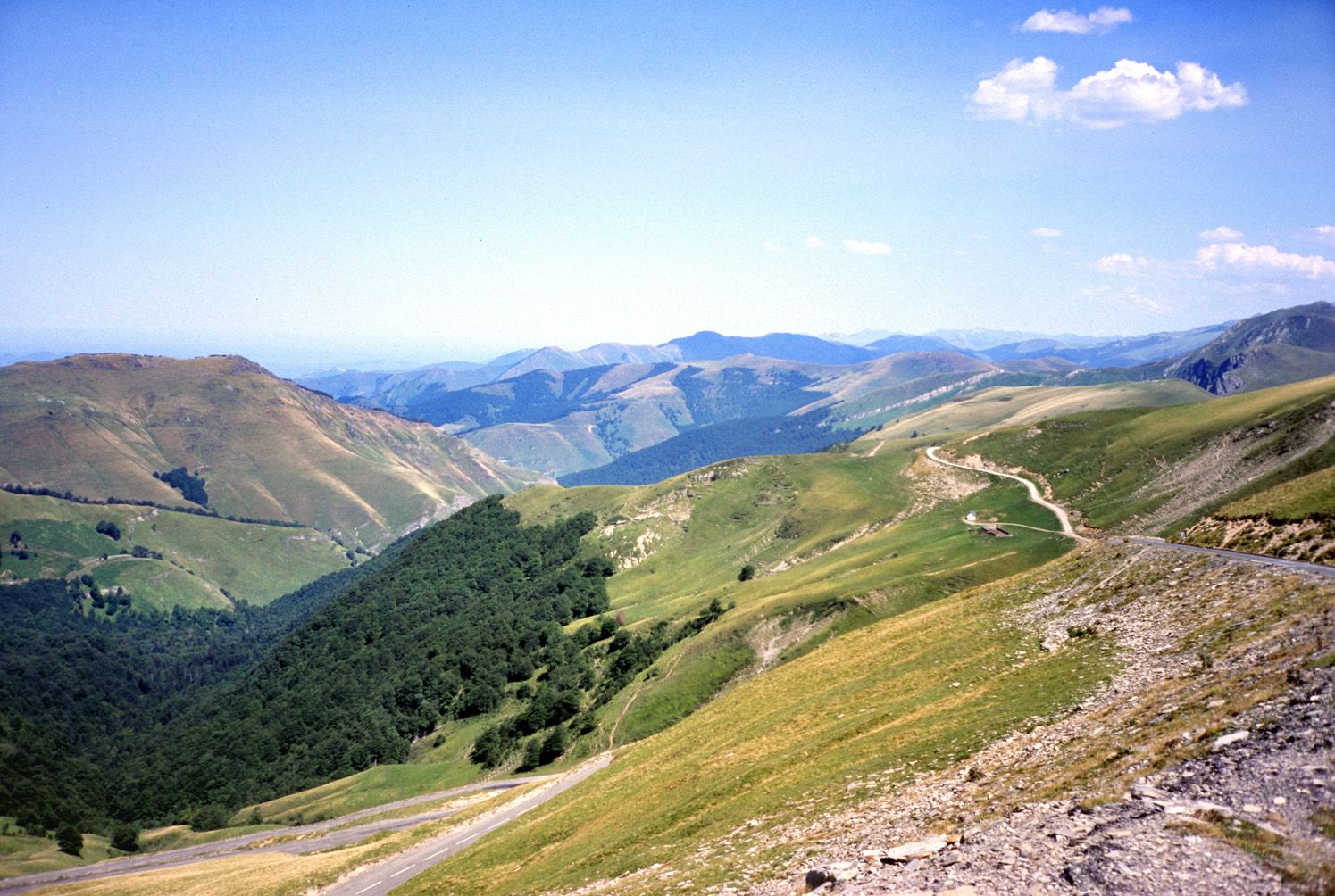
The Col de Peyresourde is one of the legendary passes of the Pyrenees. Located at an altitude of 1,589 meters, it marks the separation between the Hautes-Pyrénées and Haute-Garonne departments. The most emblematic climb is the one that starts from Bagnères-de-Luchon. It extends over 13.74 kilometers with an average of 6.9%. It begins with a long false flat before really rising over the last few kilometers.
2
2

Creperie at the top of the Col de Peyresourde to quench your thirst or to eat.
0
0
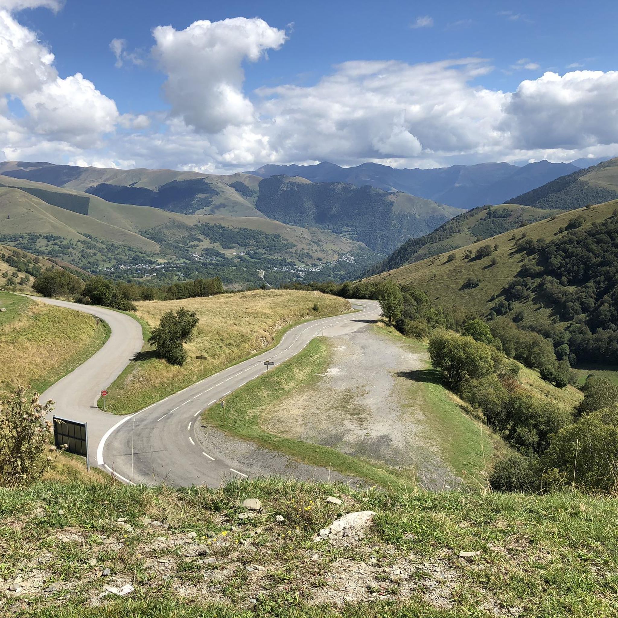
The beginning of the pass from Luchon begins immediately with an 8% slope, then after a false flat and a small descent we resume the ascent with elevations up to 10%. Finally the last part with many switchbacks and a slope always at 8 or 9%.
4
1

You must stop at the crêperie that's at the top of the pass!
4
2

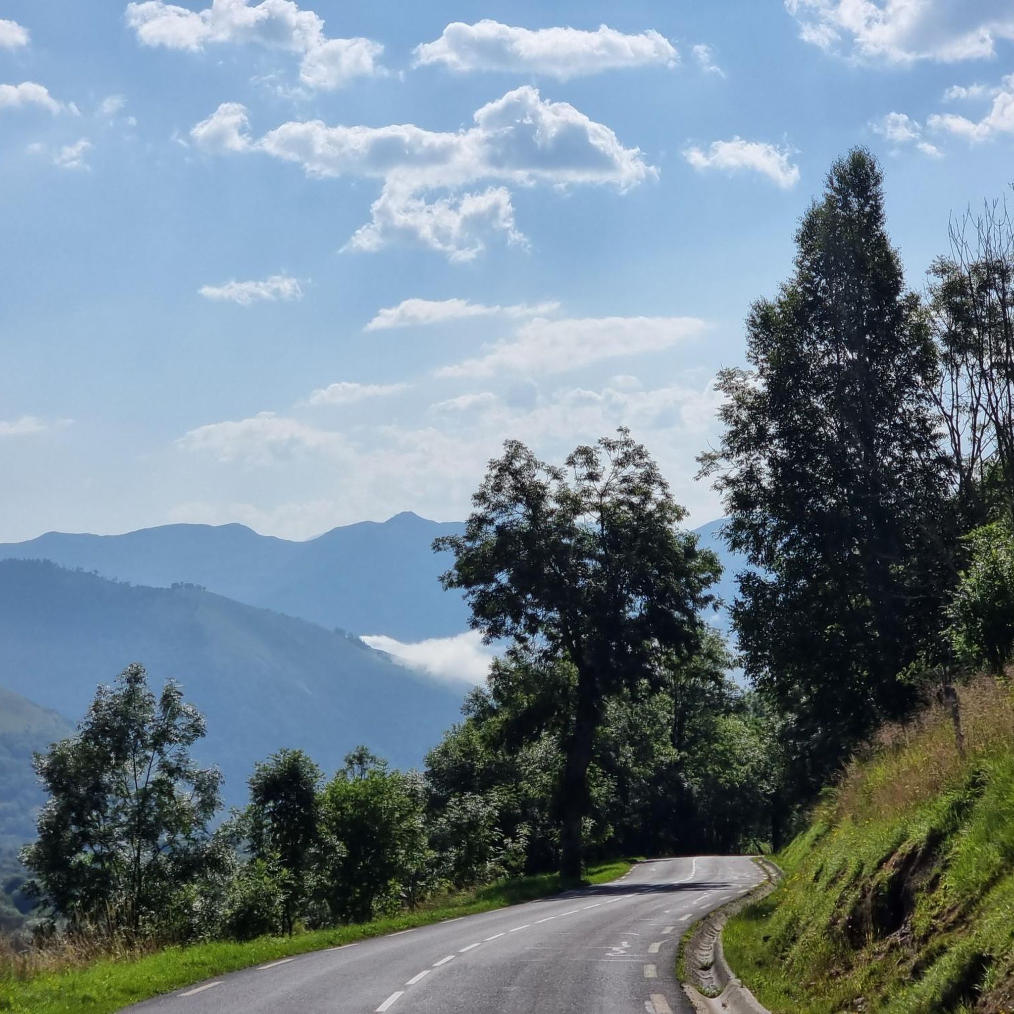
A very pleasant pass to climb ... We cross beautiful small villages
3
0
Frequently Asked Questions
How many hiking trails are there in Garin?
There are over 10 hiking trails around Garin, ranging from easy strolls to challenging ascents. These routes traverse mountainous terrain, featuring passes, peaks, and valleys, offering diverse options for all skill levels.
What kind of terrain can I expect on hikes around Garin?
Hiking around Garin is characterized by mountainous terrain, including prominent passes, challenging peaks, and scenic valleys. You'll find routes with significant elevation changes, providing varied landscapes and rewarding views.
Are there any easy hiking trails suitable for beginners?
Yes, Garin offers several easy trails. For example, the Peyresourde Pass loop from Col de Peyresourde is an easy 4.7-mile path that takes about 2 hours 35 minutes to complete. Another easy option is the Church of the Moraine – Portet-de-Luchon loop from Garin, which is 3.7 miles long and typically takes about 1 hour 40 minutes.
What are some notable natural features or landmarks to see while hiking?
The region around Garin is rich in natural beauty. You can explore stunning mountain passes like Peyresourde Pass and Col de Val Louron-Azet. There are also beautiful lakes such as Lac d'Oô and Lake Espingo, which often feature picturesque waterfalls, like the one found on the Trail from Granges d'Astau to Lac d'Oô and the Waterfall.
Are there any challenging hikes for experienced trekkers?
Absolutely. For experienced hikers, the Peyresourde Pass – Lion Peak loop from Col de Peyresourde is a difficult 9.4-mile trail with significant elevation gain, taking over 5 hours. Another demanding option is the Lake Bareilles – Lion Peak loop from Col de Peyresourde, a difficult 12.9-mile route that involves substantial climbing.
What do other hikers enjoy most about the trails in Garin?
The trails in Garin are highly rated by the komoot community, with an average score of 4.5 stars from over 1,900 reviews. Hikers often praise the diverse terrain, the rewarding views from the peaks and passes, and the variety of options available for different fitness levels.
Are there any circular hiking routes in Garin?
Yes, many routes in Garin are designed as loops, allowing you to start and end at the same point. Examples include the Peyresourde Pass loop from Col de Peyresourde and the Church of the Moraine – Portet-de-Luchon loop from Garin, offering convenient options for exploration.
What is the best time of year to go hiking in Garin?
Given the mountainous nature of Garin, the best time to visit for hiking is typically during the warmer months, from late spring through early autumn. This period generally offers more stable weather conditions, clear trails, and access to higher elevations. However, the region's beauty can be enjoyed year-round, with each season offering a unique experience.
Are there any places to eat or stay near the hiking trails?
While the guide focuses on the trails themselves, the region around Garin, particularly in the Pyrenees, offers various accommodations and dining options in nearby villages and towns. You can often find traditional huts or refuges, such as The Granges of Astau, which serve as starting points or rest stops for longer treks.
Can I find trails that offer panoramic views?
Yes, many of the trails in Garin, especially those leading to peaks or higher passes, offer spectacular panoramic views of the surrounding mountainous landscapes and valleys. Routes like the Peyresourde Pass – Lion Peak loop are known for their expansive vistas after significant ascents.
Most popular attractions around Garin

Get inspired with the komoot mobile app


Explore more
Browse the best Hikes in other regions.
