The best MTB trails around Garin
4.1
(176)
1,975
riders
90
rides
Mountain biking around Garin, California, offers diverse terrain across its 1,000 acres, which are contiguous with the 1,200-acre Dry Creek Pioneer Regional Park. The area is characterized by rolling hills that provide expansive views of the San Francisco Bay, along with meadows, open grasslands, and wooded canyons. Trails range from fire roads to some singletrack options, catering to various skill levels.
Best mountain bike trails around Garin
- The most popular mountain bike trail is Pumptrack – Loudenvielle loop from Loudenvielle…
Last updated: July 3, 2026
4.8
(15)
141
riders
19.7km
02:04
680m
680m
Moderate mountain bike ride. Good fitness required. Advanced riding skills necessary.
94
riders
19.0km
01:39
620m
620m
Moderate mountain bike ride. Good fitness required. Suitable for all skill levels.

Sign up for free
4.5
(2)
68
riders
23.6km
02:19
750m
750m
Hard mountain bike ride. Good fitness required. Advanced riding skills necessary. Some portions of the route may require you to push your bike.
3.7
(3)
88
riders
19.5km
02:10
800m
800m
Hard mountain bike ride. Good fitness required. Advanced riding skills necessary. Some portions of the route may require you to push your bike.
3.5
(4)
55
riders
31.0km
03:09
980m
980m
Hard mountain bike ride. Very good fitness required. Advanced riding skills necessary. Some portions of the route may require you to push your bike.
Get access to more routes and recommendations from other explorers.
Sign up for free
Already have an account?
Our route recommendations are based on thousands of hikes, rides, and runs completed by other people on komoot.
Start today with a free account
Your next adventure awaits.
Login or Signup





Tips from the Community

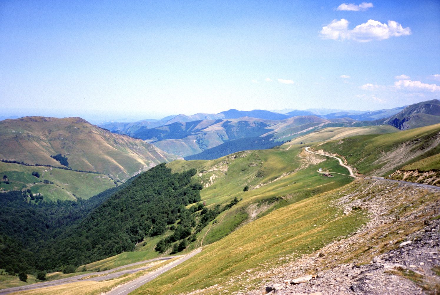
Nice panoramic view from there
0
0

Passes reserved for cyclists 9-12 p.m. this Monday 07/15, happiness!
0
0

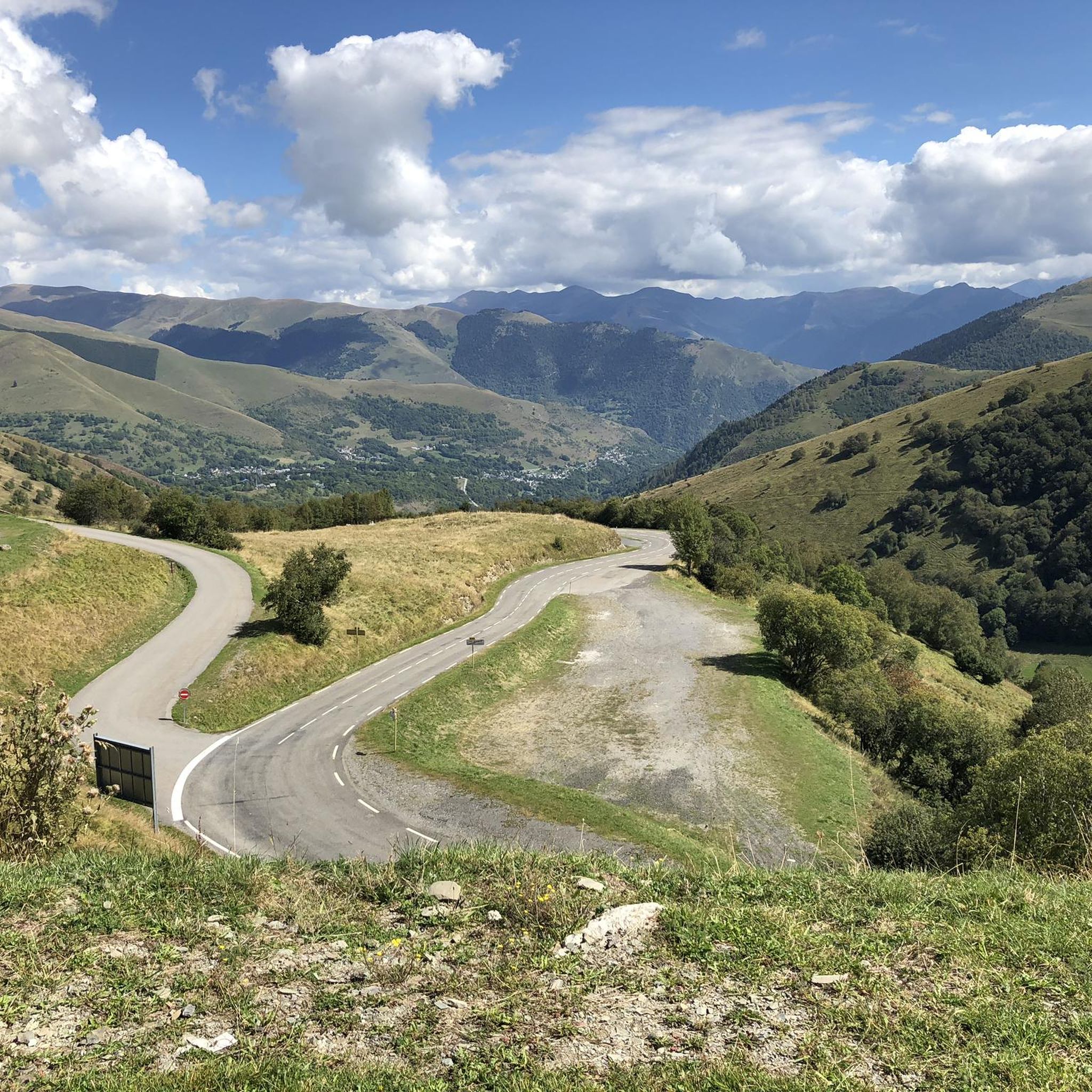
The Col d'Azet is a road mountain pass located at 1,585 meters above sea level. It allows you to go from the Aure valley to the Louron valley. It is one of the 34 passes connected by the famous pass road.
0
0

Nice little place, possibility to climb Col de Val-Azet, but also small church and old castle ruins. More information: https://de.wikipedia.org/wiki/G%C3%A9nos_%28Hautes-Pyr%C3%A9n%C3%A9es%29?wprov=sfla1
3
0

The storm at what time I'm only rising and the descent nonexistent speaking
0
1

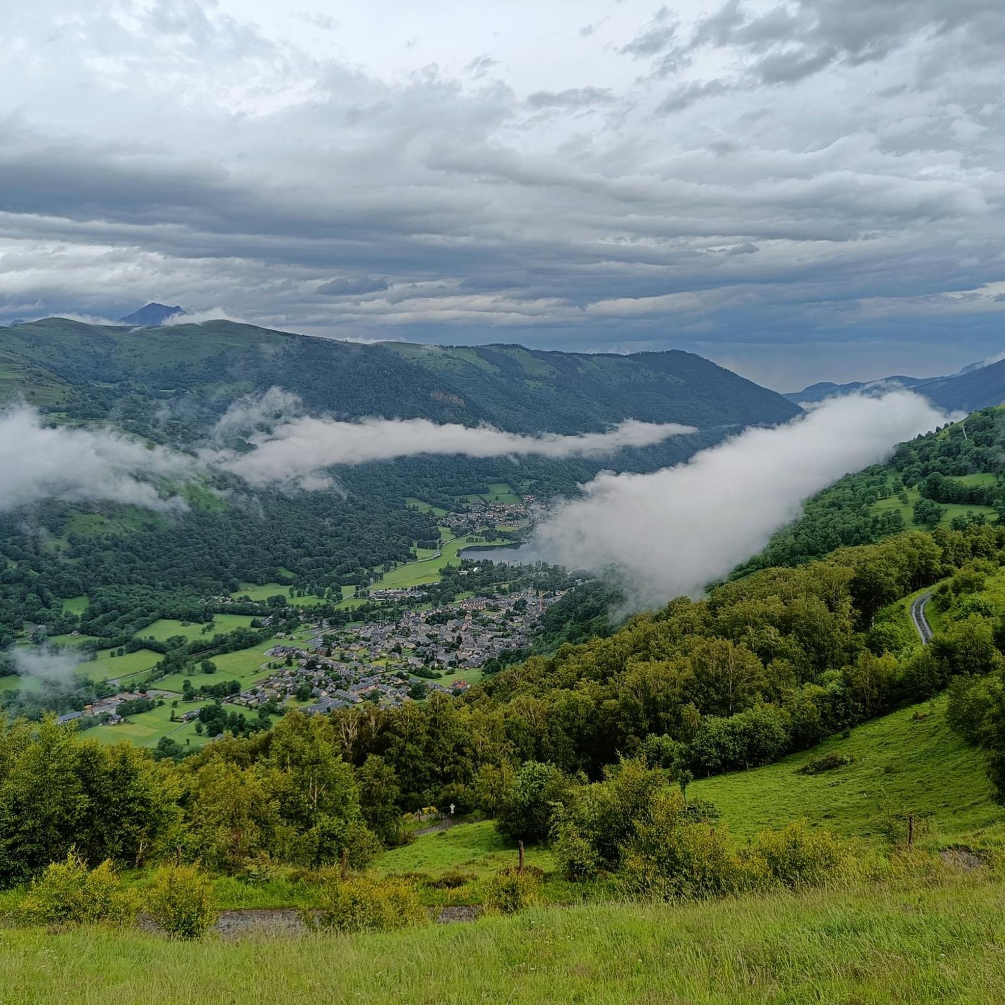
Located in the Louron valley, the Col d'Azet peaks at an altitude of 1,580 meters. This passage connects the village of Loudenvielle and that of Azet on the heights of Saint-Lary-Soulan. The ascent from Lake Génos is 7.5 kilometers for an average of 8.3% with some passages at 13%.
1
0

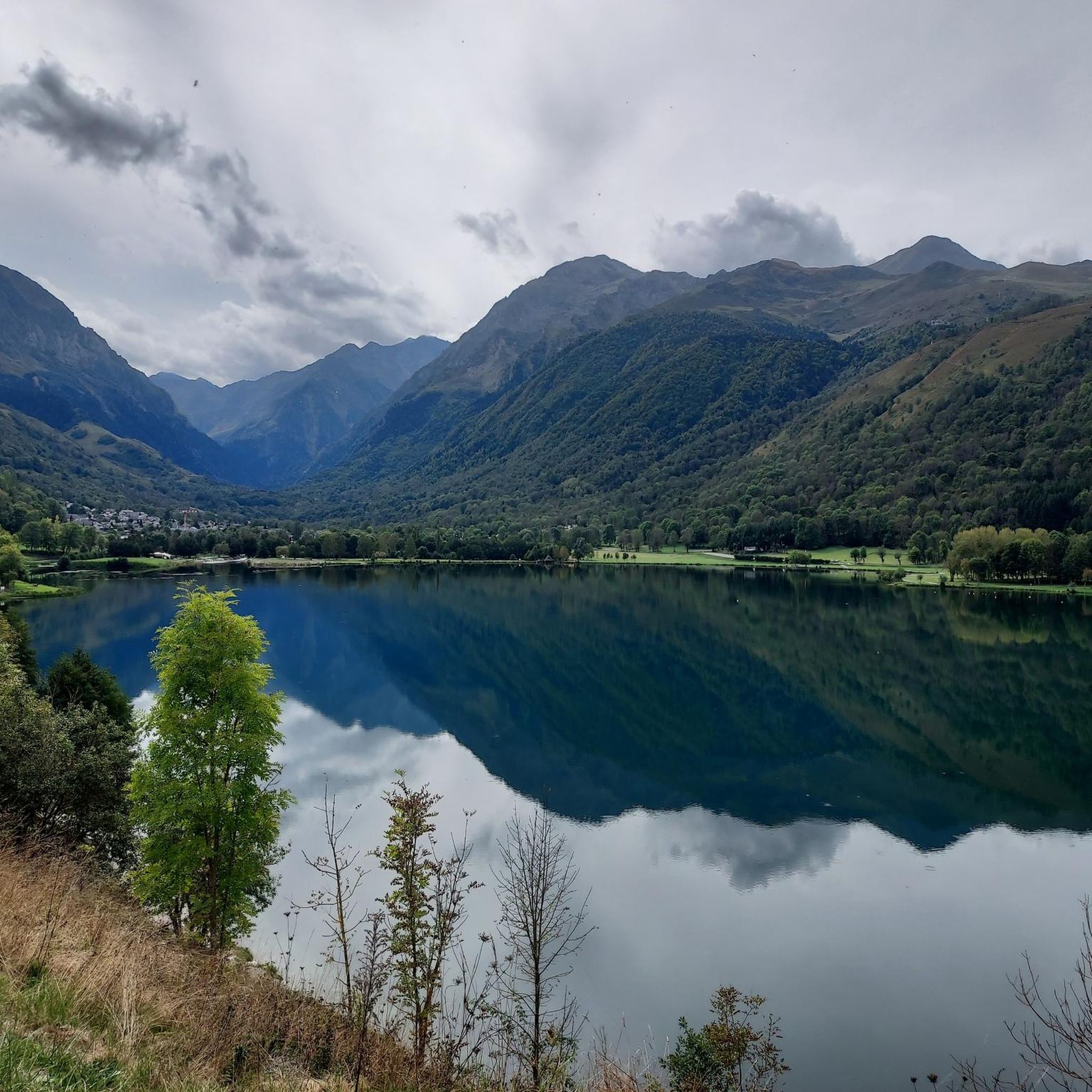
A nice view of this lake (it's a dam lake) for a sandwich break before getting back on the road!
0
0

It climbs, it turns, it's beautiful 🚴 ♂️⛰
1
0
Frequently Asked Questions
How many mountain bike trails are available in Garin Regional Park?
Garin Regional Park, along with the contiguous Dry Creek Pioneer Regional Park, offers an extensive network of trails. You'll find over 90 mountain bike routes available, providing diverse options for exploration.
Are there mountain bike trails suitable for beginners or families in Garin Regional Park?
Yes, Garin Regional Park offers trails suitable for various skill levels. While many trails are fire roads, which can be good for less technical rides, there are also some singletrack options with varying green difficulty levels. The park's diverse terrain includes easy paths, making it possible to find routes appropriate for families or beginners.
What kind of views can I expect while mountain biking in Garin Regional Park?
The park is renowned for its rolling hills that provide expansive, panoramic vistas of the Bay Area, including the San Francisco Bay and the East Bay hills. Trails like the High Ridge Trail offer sweeping views, and from various vantage points, you can even see downtown San Francisco and Mount Tamalpais in the distance.
Are there any long mountain bike routes for extended rides?
Yes, there are several longer routes available. For instance, the Loudenvielle – Pumptrack loop from Loudervielle is a challenging 34.3-mile (55.2 km) ride, and the Pumptrack – Loudenvielle loop from Loudenvielle covers 21.4 miles (34.4 km) with significant elevation gain.
What is the best time of year to go mountain biking in Garin Regional Park?
The park's landscape transforms with the seasons. During spring and late winter, the straw-colored grass turns into a vibrant green, and meadows are adorned with wildflowers. This can be a particularly scenic time to visit. However, be aware that some lesser-used trails might have bumps due to cow activity and earth cracking, which can vary seasonally.
What natural attractions or points of interest can I see along the trails?
Garin Regional Park and its surroundings offer several natural attractions. You might encounter unique alkali wetlands, oak forests, and the tranquil Jordan Pond, where you can observe various bird species. Nearby, you can also explore natural monuments such as Lac d'Oô or the impressive Cascade d'Enfer.
Can I expect to see any wildlife while mountain biking?
Absolutely. Garin Regional Park is home to indigenous wildlife such as deer, hawks, and wild turkeys. Red-tailed hawks, quails, and various songbirds are commonly seen, especially in the park's diverse habitats like oak forests and meadows.
Are there any circular mountain bike routes in Garin Regional Park?
Yes, many of the routes in the area are designed as loops, allowing you to start and end at the same point. Examples include the Lake Génos-Loudenvielle – Peyresourde Pass loop from Col de Peyresourde and the Col d'Azet – Col d'Azet loop from Loudervielle, which offers varied terrain.
What do other mountain bikers say about the trails in Garin?
The mountain bike routes in Garin are highly rated by the komoot community, with an average score of 4.1 stars from over 150 reviews. Riders often praise the diverse terrain, the panoramic Bay Area views, and the network's ability to cater to different ability levels, from easy paths to more challenging climbs.
Are there any challenging mountain bike trails for experienced riders?
Yes, experienced riders will find plenty of challenging options. Nearly half of the available routes are classified as 'difficult.' These often feature significant elevation gains and can include challenging climbs to mountain passes, such as the Col d'Azet – Col d'Azet loop from Génos.
What are the typical trail conditions like in Garin Regional Park?
The trails in Garin Regional Park vary from fire roads to some singletrack sections. While fire roads offer good mileage and views, some singletrack trails have varying green difficulty levels. The climbs can be steep, and some lesser-used trails might have bumps due to cow activity and earth cracking, especially after certain weather conditions.
Most popular attractions around Garin

Get inspired with the komoot mobile app


Explore more
Browse the best MTB trails in other regions.
