The best road cycling routes around Lopérec
4.4
(27)
2,345
riders
249
rides
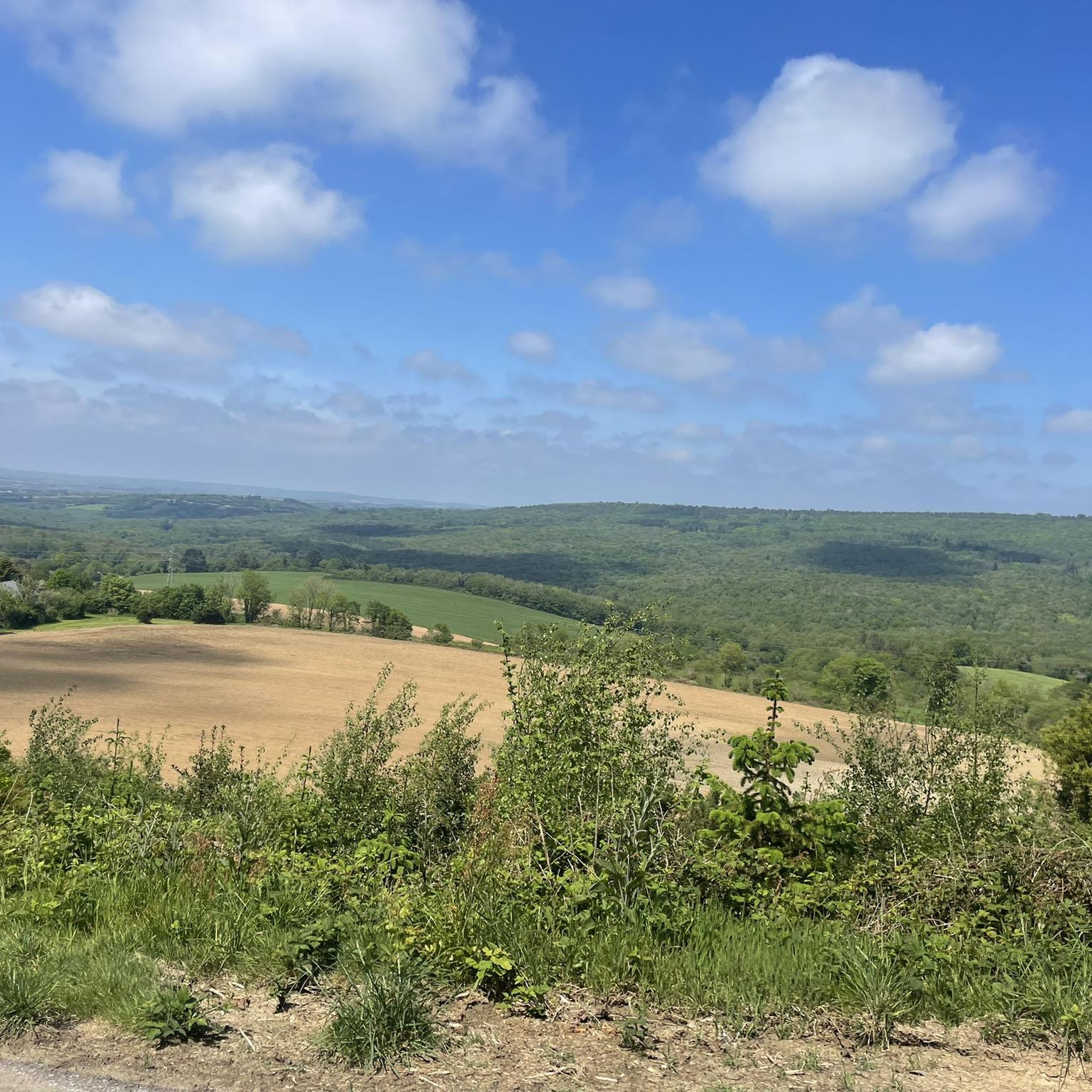
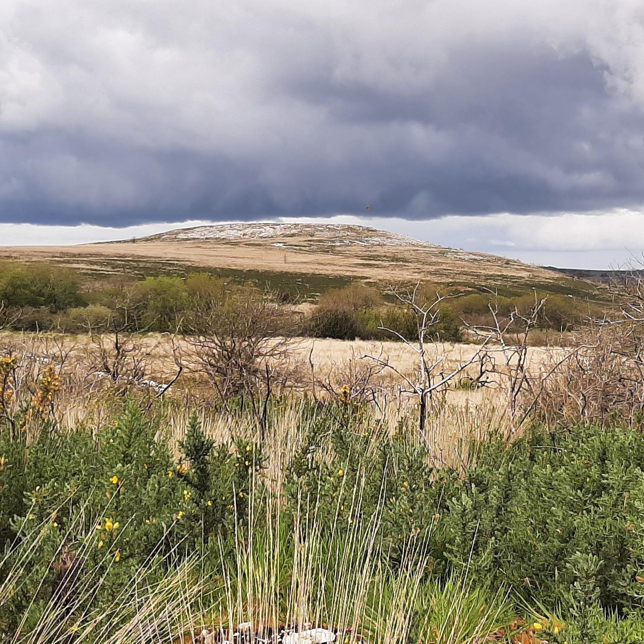
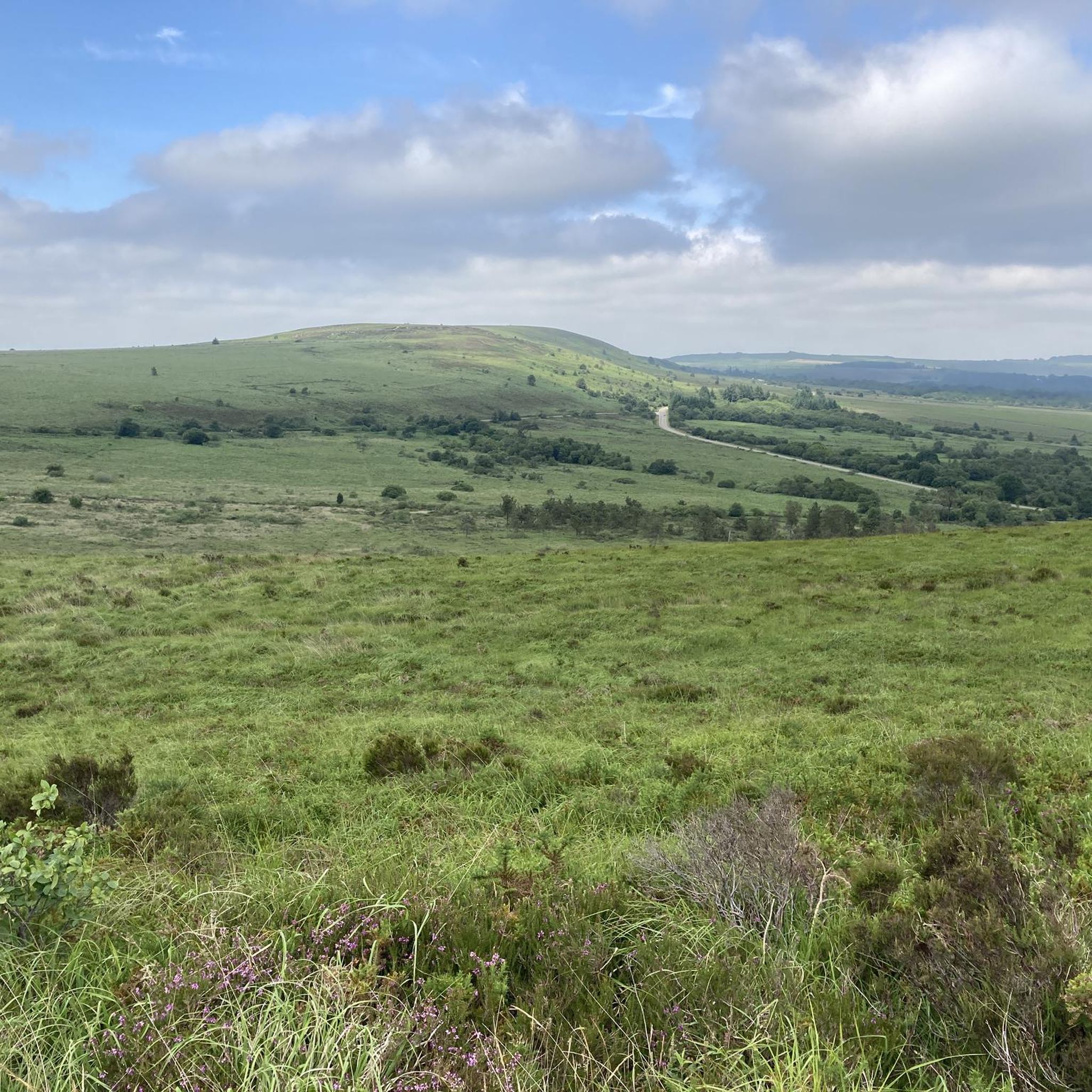
Road cycling routes around Lopérec traverse a distinctive hilly landscape within the Finistère department of Brittany, France. Elevations range from 11 to 316 meters, offering varied terrain for cyclists. The region borders the Monts d'Arrée and the Châteaulin basin, providing a backdrop of rolling hills and valleys. It is part of the Parc naturel régional d'Armorique, characterized by wooded farmland and rivers like the Douffine and Rivoal.
Best road cycling routes around Lopérec
- The most popular road cycling route is…
Last updated: July 10, 2026
5.0
(1)
60
riders
30.8km
01:28
310m
310m
Moderate road ride. Good fitness required. Mostly well-paved surfaces and easy to ride.
35
riders
49.2km
02:15
390m
390m
Moderate road ride. Good fitness required. Some segments of this route may be unpaved and difficult to ride.

Sign up for free
19
riders
57.5km
02:58
940m
940m
Hard road ride. Very good fitness required. Mostly well-paved surfaces and easy to ride.
21
riders
118km
05:56
1,910m
1,910m
Hard road ride. Very good fitness required. Some segments of this route may be unpaved and difficult to ride.
11
riders
44.0km
02:09
580m
580m
Moderate road ride. Good fitness required. Mostly well-paved surfaces and easy to ride.
Get access to more routes and recommendations from other explorers.
Sign up for free
Already have an account?
Our route recommendations are based on thousands of hikes, rides, and runs completed by other people on komoot.
Start today with a free account
Your next adventure awaits.
Login or Signup
Tips from the Community


This chapel was beautifully restored after the fire in the summer of 2022. This hill offers a lovely view of the Monts d'Arrée.
0
0
The "Bro an are" grocery store in the village of St Rivoal is open every day of the week, ready to supply cyclists between 10:30 a.m. and 7:00 p.m. You'll find good local products at reasonable prices and a warm welcome.
0
0

Beautiful little town, dominated by the river.
0
0

View of the houses of Port-Launay directly on the Aulne.
0
0


In the afternoon under the sun, very pleasant
0
0

Old Quimerc'h Church (Saint-Pierre): It was built in the first half of the 16th century and "abandoned" at the end of the 19th century. In front of the church is a beautiful meadow with a table for resting. Worth seeing.
1
0
Frequently Asked Questions
What is the typical terrain like for road cycling around Lopérec?
Road cycling around Lopérec features a distinctive hilly landscape with elevations ranging from 11 to 316 meters. You'll encounter a mix of challenging climbs and rewarding descents, set against a backdrop of rolling hills, valleys, and lush wooded farmland within the Parc naturel régional d'Armorique.
Are there road cycling routes suitable for beginners in Lopérec?
Yes, while the region is known for its hilly terrain, there are options for various fitness levels. Out of over 240 routes, 36 are classified as easy, making them suitable for beginners or those looking for a more relaxed ride. Many routes feature mostly well-paved surfaces.
What kind of elevation gain can I expect on road cycling routes in Lopérec?
The elevation gain varies significantly across routes. For example, a moderate route like Châteaulin – Châteaulin loop from Pont-de-Buis includes over 990 feet (300 meters) of climbing. More difficult routes, such as the Saint-Pierre Church Ruins – Drennec Dam loop from Pont-de-Buis, can feature over 3,000 feet (900 meters) of elevation gain, catering to very good fitness levels.
How long are the road cycling routes typically in Lopérec?
Route lengths vary to accommodate different preferences. For instance, the popular Châteaulin – Châteaulin loop from Pont-de-Buis is about 18.8 miles (30.2 km), while the Châteaulin – Coblant Bridge loop from Pont-de-Buis extends to 31.0 miles (49.8 km). There are over 240 routes in total, offering a wide range of distances.
What natural landmarks can I see while road cycling near Lopérec?
The region offers several natural highlights. You can cycle towards the Mont Saint-Michel of Brasparts for expansive panoramic views of the Monts d'Arrée. The area also features the Lac du Drennec and the Menez Kador trail, providing picturesque scenery along your ride.
Are there any historical or cultural sites accessible by road bike in the region?
Yes, the area around Lopérec is rich in history. You can visit the Saint-Sauveur Church of Le Faou, known for its Renaissance-style bell tower. The town of Sizun is also notable for its magnificent parish enclosure, showcasing impressive carpentry and stonework.
Where can I find panoramic views along the road cycling routes?
For breathtaking panoramic views, consider routes that pass near the Mont Saint-Michel of Brasparts. This summit offers expansive vistas of the surrounding Monts d'Arrée, the sea, and the Montagnes Noires. Additionally, some routes may offer views of Lake Brenilis.
Is there public transport access to the road cycling routes around Lopérec?
While specific public transport links directly to route starting points are not detailed, Lopérec is situated within the Finistère department, which typically has regional bus services. For detailed public transport information, it is recommended to check local transport authority websites for routes connecting to towns like Pont-de-Buis or Châteaulin, which are common starting points for many cycling tours.
What is the best time of year for road biking in Lopérec?
Brittany generally enjoys a mild climate. Spring and early autumn are often ideal for road cycling, offering pleasant temperatures and less crowded routes. Summer can also be very enjoyable, though it may be warmer. Always check local weather conditions before heading out.
Are there any family-friendly road cycling options in Lopérec?
Yes, with 36 easy routes available, families can find suitable options. These routes tend to have less elevation gain and may feature quieter roads or dedicated paths, making them more enjoyable for cyclists of all ages. Look for routes originating from towns like Pont-de-Buis, which offer varied starting points.
What do other road cyclists enjoy most about road cycling in Lopérec?
The road cycling routes in Lopérec are highly rated by the komoot community, with an average score of 4.5 stars from over 27 reviews. Cyclists often praise the varied terrain, from rolling hills to wooded farmland, and the picturesque backdrop provided by the Monts d'Arrée and the Châteaulin basin. The network offers options for different ability levels, ensuring a rewarding experience for many.
How many road cycling routes are available in the Lopérec area?
There are over 240 road cycling routes available around Lopérec, offering a wide variety of options for different skill levels and preferences. This includes 36 easy routes, 135 moderate routes, and 71 difficult routes.
Most popular attractions around Lopérec

Get inspired with the komoot mobile app


Explore more
Browse the best Road cycling routes in other regions.
